Ketchikan & Misty Fjords
Ketchikan is a fishing port and cultural hub on Revillagigedo Island. Misty Fjords' granite walls, lakes and rainforest lie east of town.

Alaska region guide
Rainforest-covered islands and steep fjords extend along Alaska's southeastern coast. Tlingit, Haida and Tsimshian communities, working fishing ports and tidewater glaciers define this sea-linked region.
On the ground
Overview
Southeast Alaska is a coastal strip about 500 miles long. It runs from the Dixon Entrance near Ketchikan up to the ice-choked shores of Yakutat Bay. In between are more than a thousand islands, deep fjords and a mainland wall of granite and ice. Roughly 80% of the panhandle lies in the Tongass National Forest. At 16.7 million acres it is the largest national forest in the United States and one of the largest intact temperate rainforests left on Earth.
People here live by the water. Juneau is the only U.S. state capital you can't drive to, and most towns are islands in the literal sense or the practical one. You get around by ferry, floatplane, skiff and the jets of Alaska Airlines' 'milk run.' The Tlingit, Haida and Tsimshian peoples have lived on this coast for at least 10,000 years. Russian America left its mark on Sitka, and the Klondike stampede left a boardwalk boomtown at Skagway.
Visitors come for the scale of it. Tidewater glaciers calve into Glacier Bay, humpbacks bubble-net feed in Frederick Sound, and brown bears fish at Pack Creek and Anan. Southeast is the easiest part of wild Alaska to reach, yet most of it stays untracked once you leave the waterfronts.
Local guides
Ketchikan is a fishing port and cultural hub on Revillagigedo Island. Misty Fjords' granite walls, lakes and rainforest lie east of town.

A large, roadable Tongass island with Haida and Tlingit villages, totem parks, El Capitan Cave, steelhead rivers and more than 20 public-use cabins.
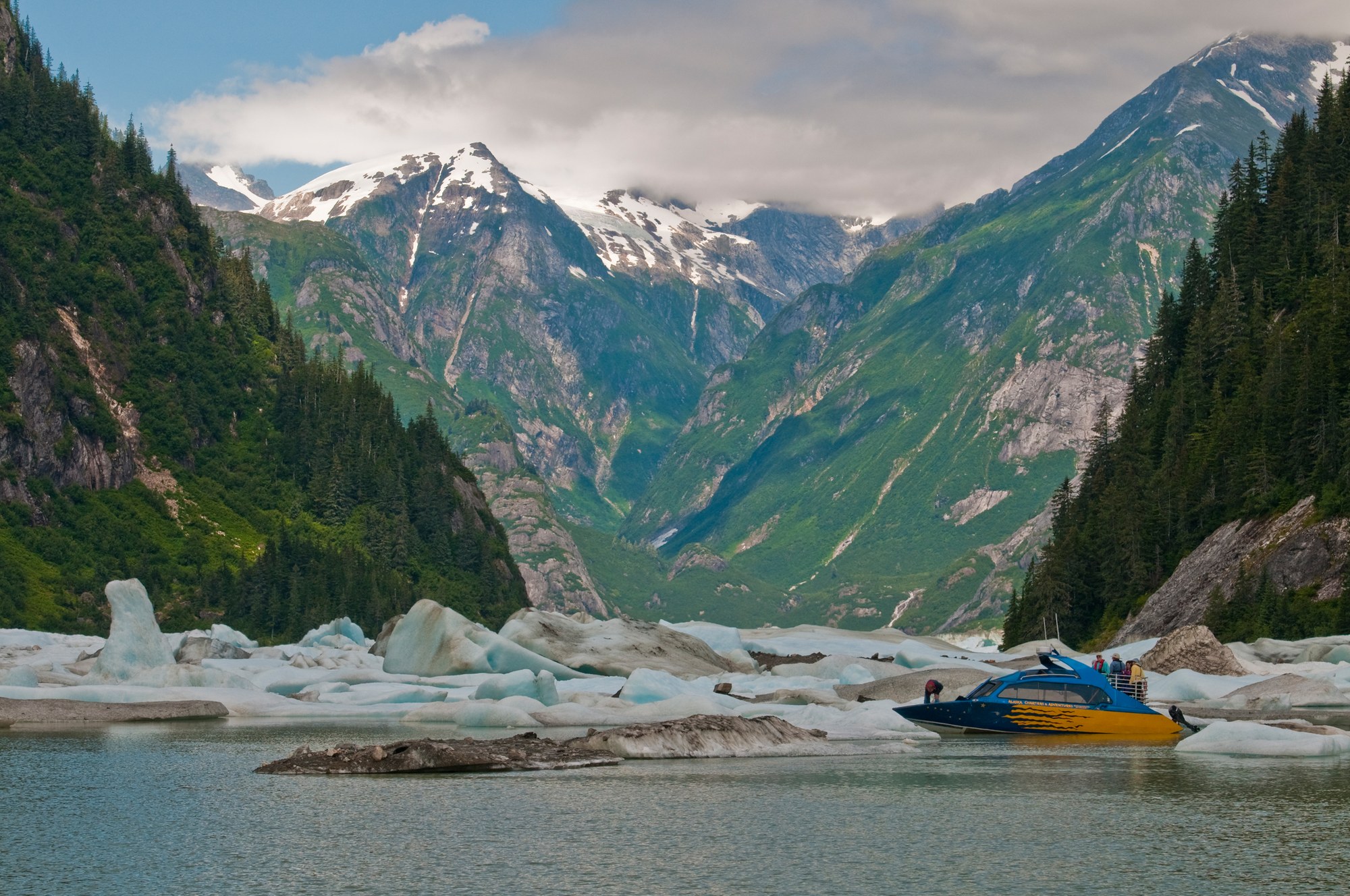
Fishing towns beside the Stikine River delta, with LeConte Glacier, Anan bear viewing, Tongass cabins and road camps on Mitkof and Wrangell islands.
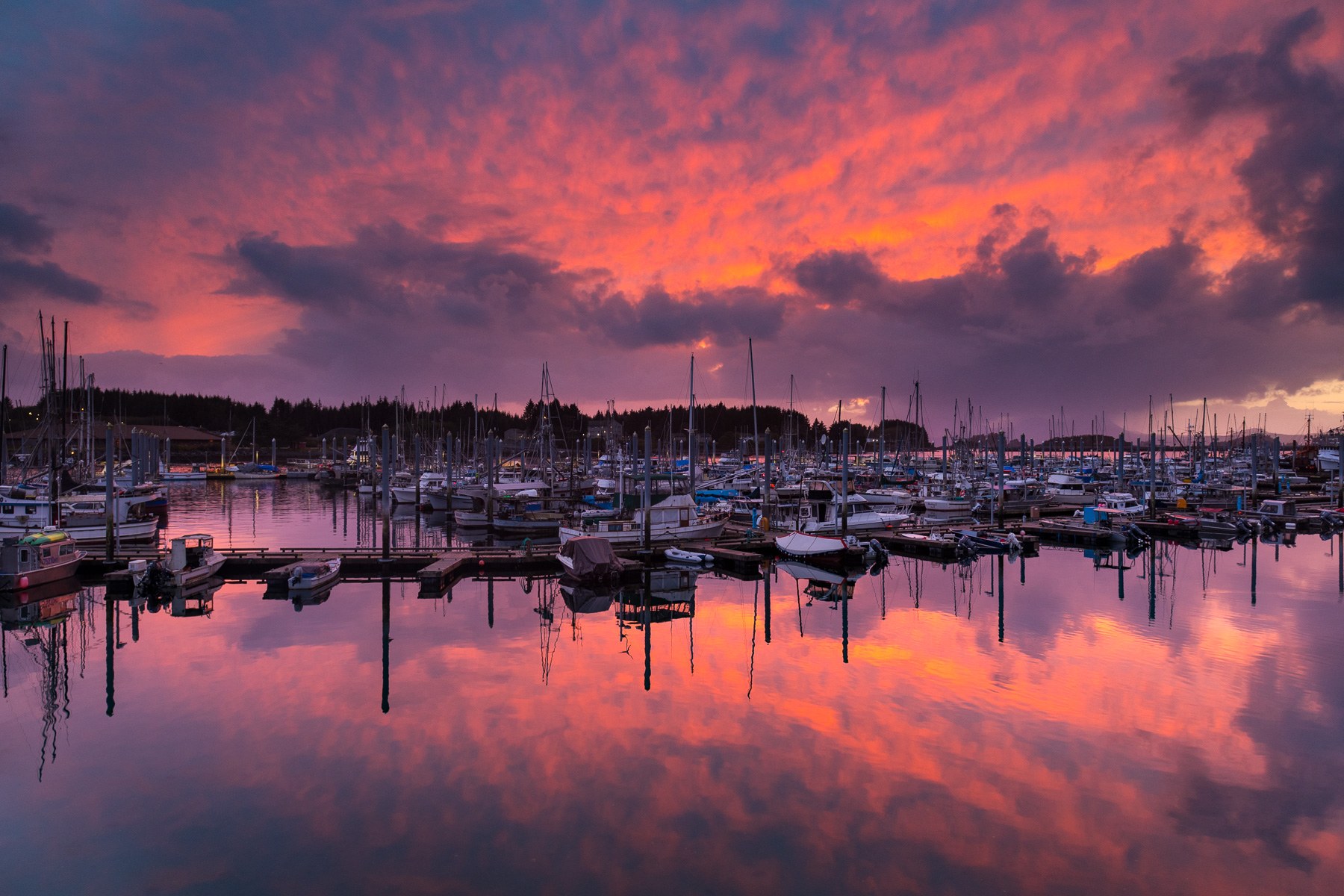
Pacific-facing Sitka pairs living Tlingit culture and Russian-era landmarks with rainforest trails, island cabins and boat trips on Sitka Sound.
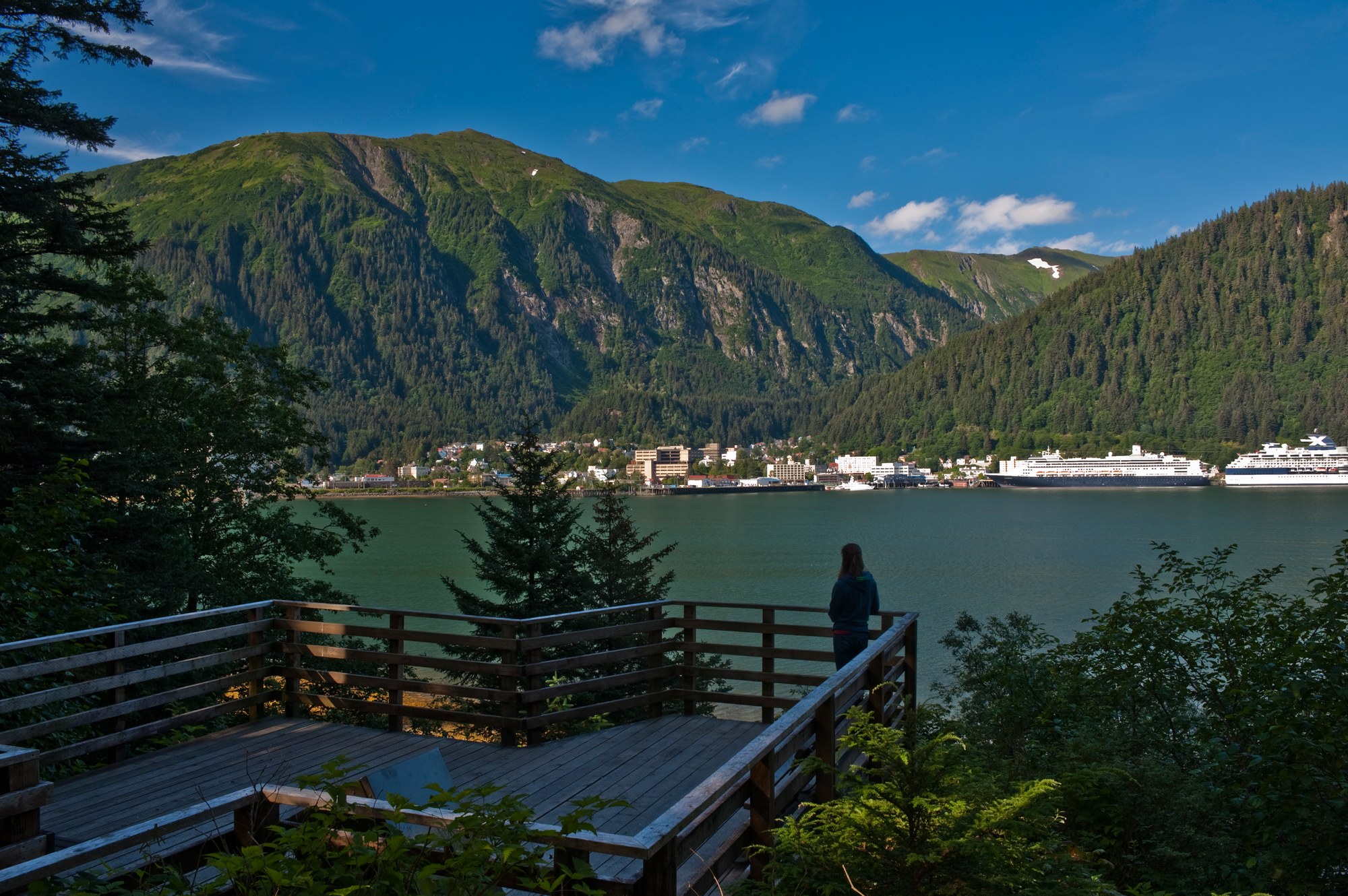
Alaska's capital, the road-accessible Mendenhall Glacier, Admiralty Island's brown bears and the tidewater glaciers of Glacier Bay National Park, with Gustavus and Hoonah as gateways.
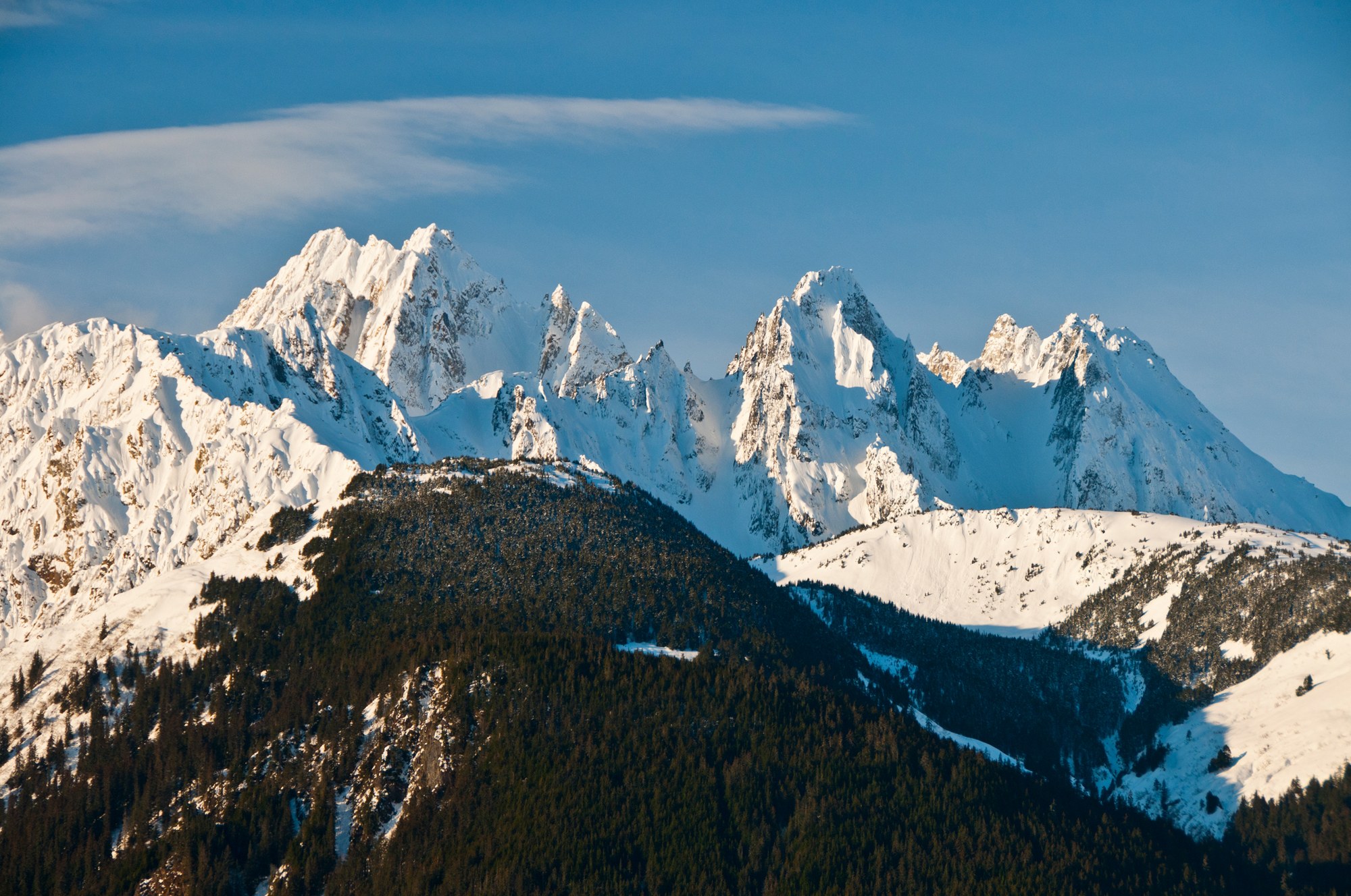
Haines sits on the Chilkat Peninsula between the Chilkat and Chilkoot rivers, below the Chilkat Range, with the Haines Highway running north past the Alaska Chilkat Bald Eagle Preserve into Canada.
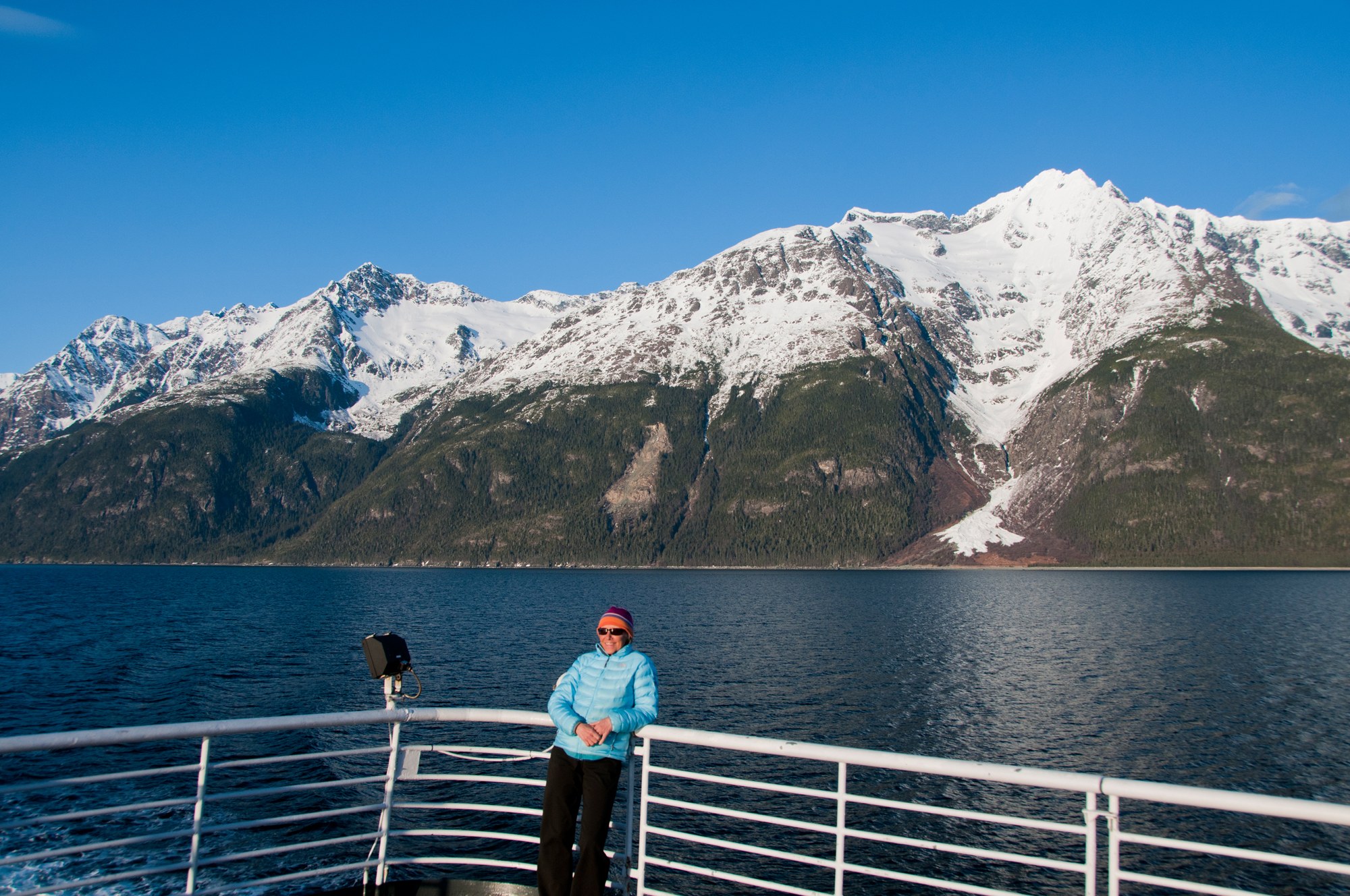
Skagway sits at the head of Taiya Inlet, the gold rush gateway to the Chilkoot Trail and White Pass, with a preserved boardwalk historic district, the White Pass & Yukon Route railway and the Dyea townsite nearby.

A Tlingit town on the Gulf of Alaska between the Saint Elias Mountains and the sea, with the Situk River's steelhead and salmon, surf beaches, Hubbard Glacier and the Malaspina Forelands.
Explore
Glaciers, Native culture and gold-rush history top most lists.

Cultural site
Coastal totem trails and the site of the 1804 Battle of Sitka.
Cultural site
Museum on Creek Street.

Cultural site
Almost 100 gold rush buildings along Broadway and the boardwalks, the heart of Klondike Gold Rush NHP.
Cultural site
Native culture and art in Juneau.
Cultural site
Twenty-one Haida totem poles in the center of Hydaburg, the largest Haida community in the U.S.
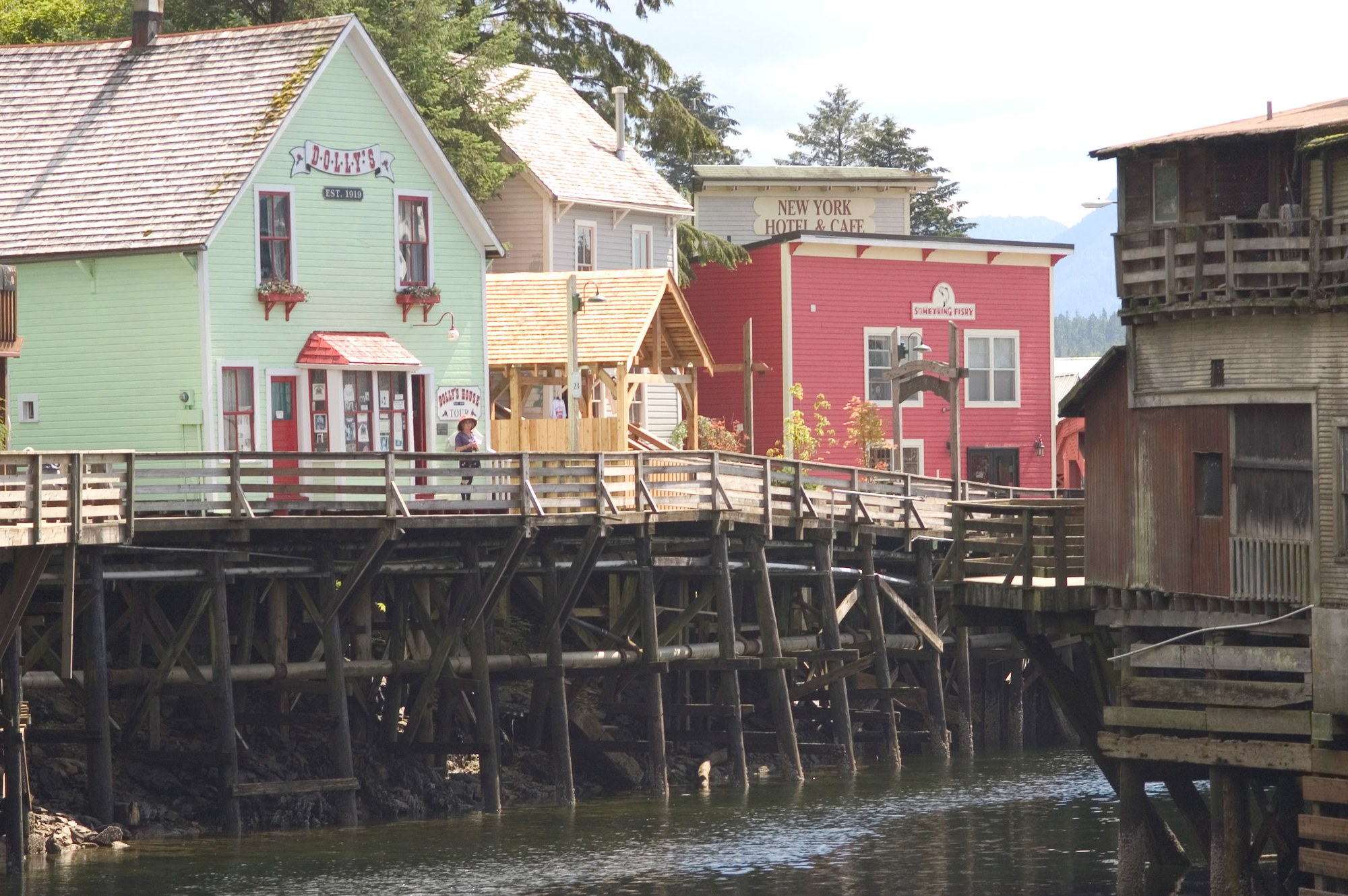
Cultural site
A boardwalk on pilings over Ketchikan Creek and the red-light district until 1954.
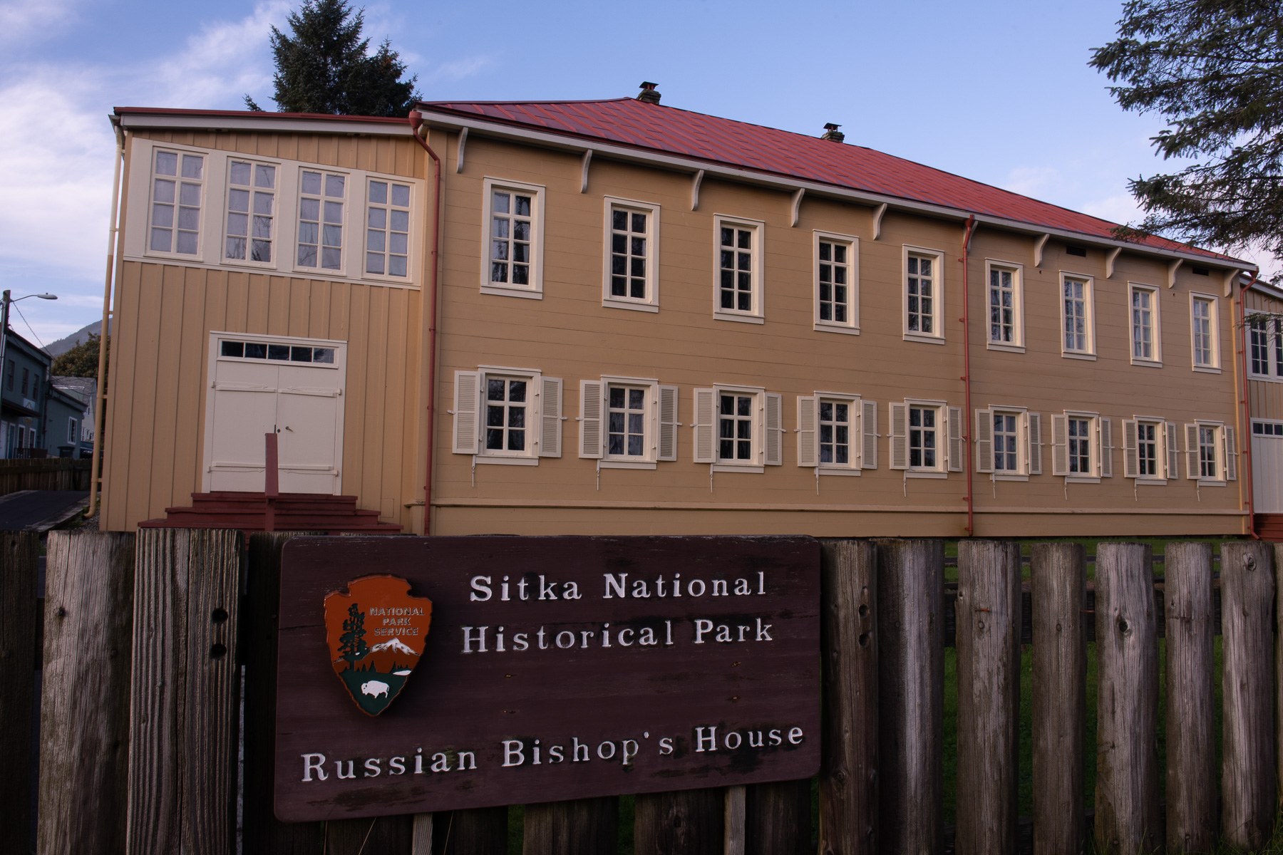
Cultural site
Rare Russian-American building with exhibits and ranger-led upstairs tours.
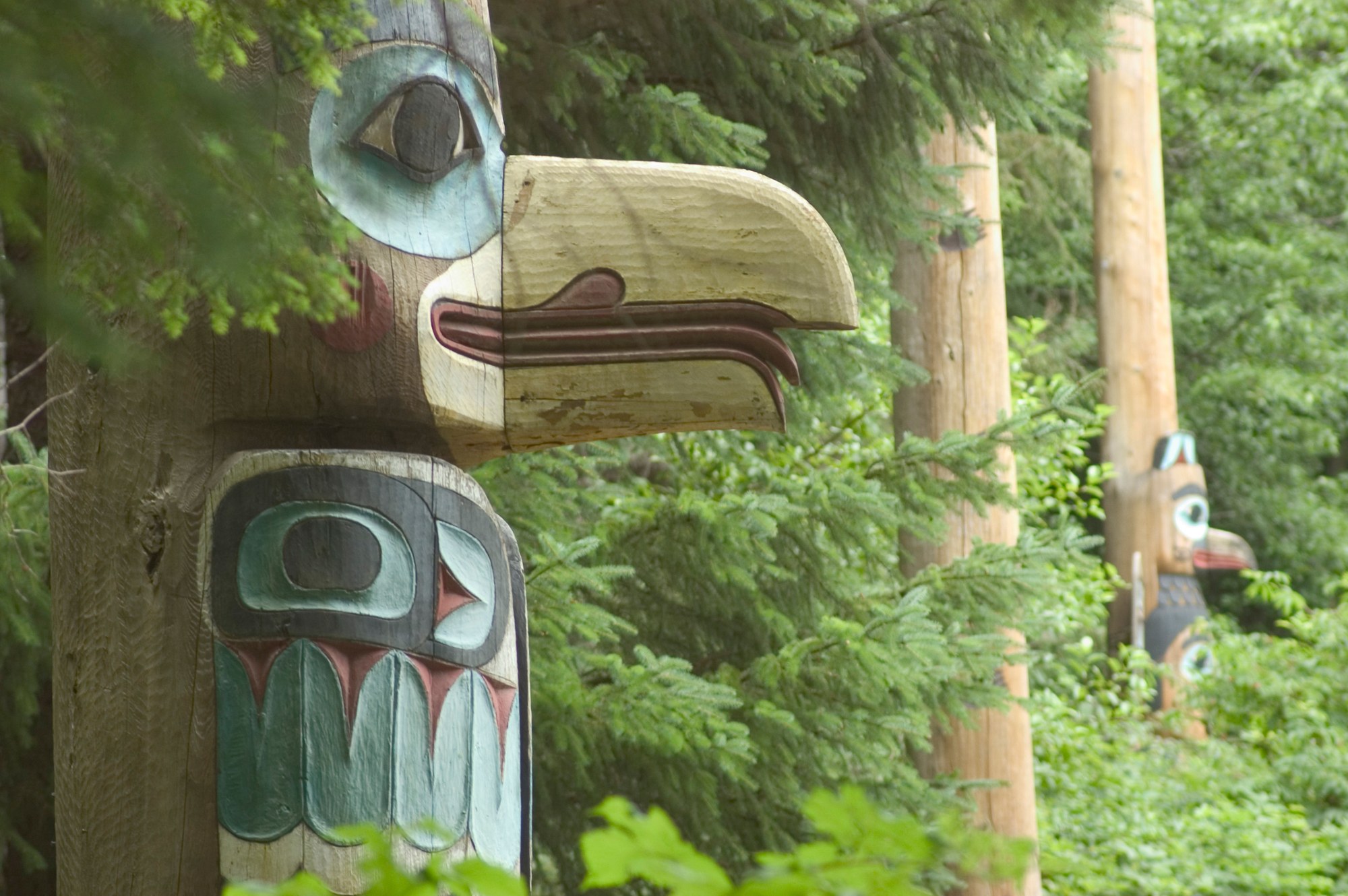
Cultural site
Mile 10, North Tongass Hwy.
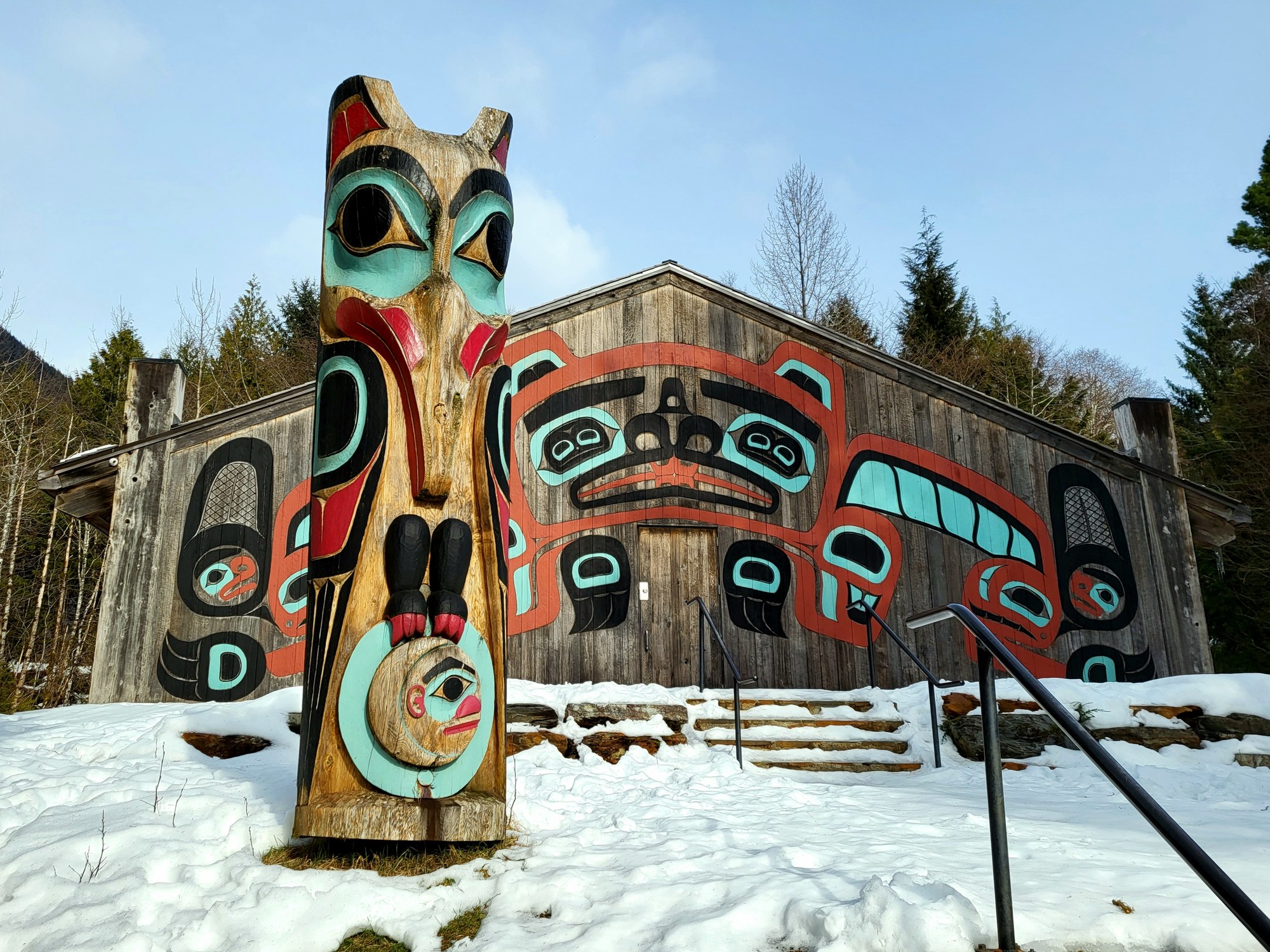
Cultural site
24 poles, including a Lincoln Pole replica.
Cultural site
The only traditional Haida longhouse standing in the U.S., with a totem park, at Kasaan.
Cultural site
Twenty-one Tlingit totem poles carved from the originals of Tuxekan village, on the hill above Klawock.
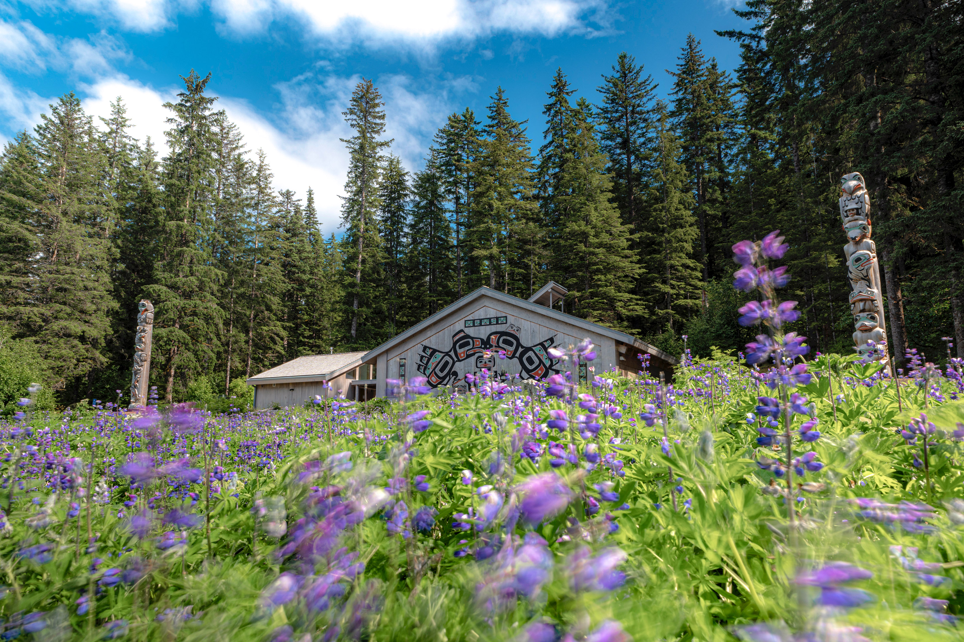
Cultural site
Clan house at Bartlett Cove honoring the Huna Tlingit homeland of Glacier Bay.
Cultural site
World War II-era cannons set along the beach at Cannon Beach, with a vehicle-accessible picnic site.

Cultural site
Tlingit clan house on Shakes Island in Wrangell harbor, open by arranged tour.

Cultural site
The original Fish Train locomotive and interpretive panels at the town end of the Fish Train Trail.

Cultural site
Historic cemetery on the north edge of Skagway, a flat walk from downtown on the way to Lower Reid Falls.
Cultural site
Dyea cemetery for gold seekers killed in the Palm Sunday avalanche of April 3, 1898.
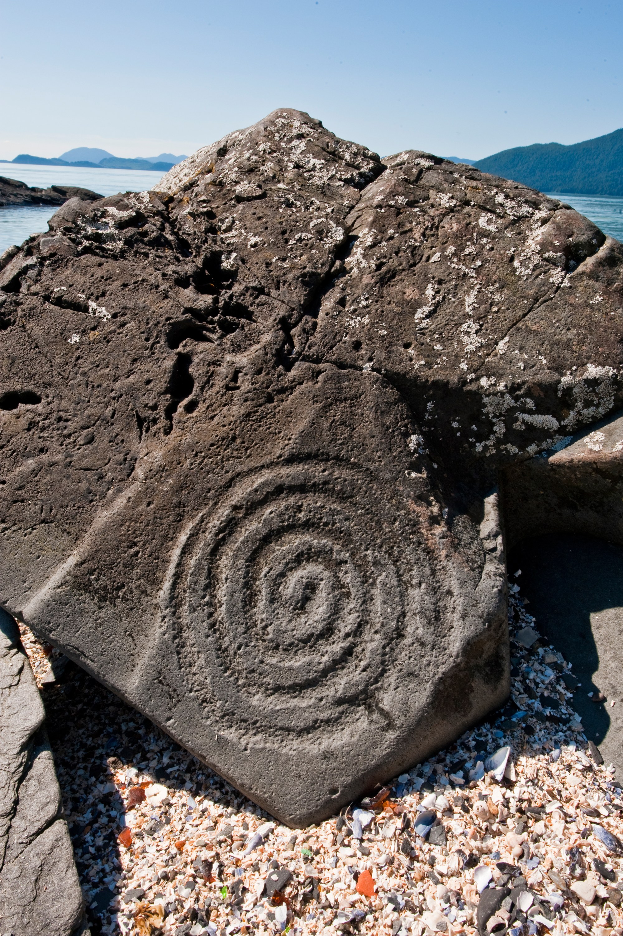
Cultural site
Beach north of Wrangell with ancient rock carvings, managed as an Alaska State Historic Site.

Cultural site
Alaska's only pre-war Army post, built 1902 to 1904 at Portage Cove; its homes and parade ground are an easy walk from downtown.

Cultural site
Klukwan's heritage center, home of the Whale House collection and Chilkat weaving exhibits, 22 miles up the Haines Highway.
Museum
Ketchikan history museum.
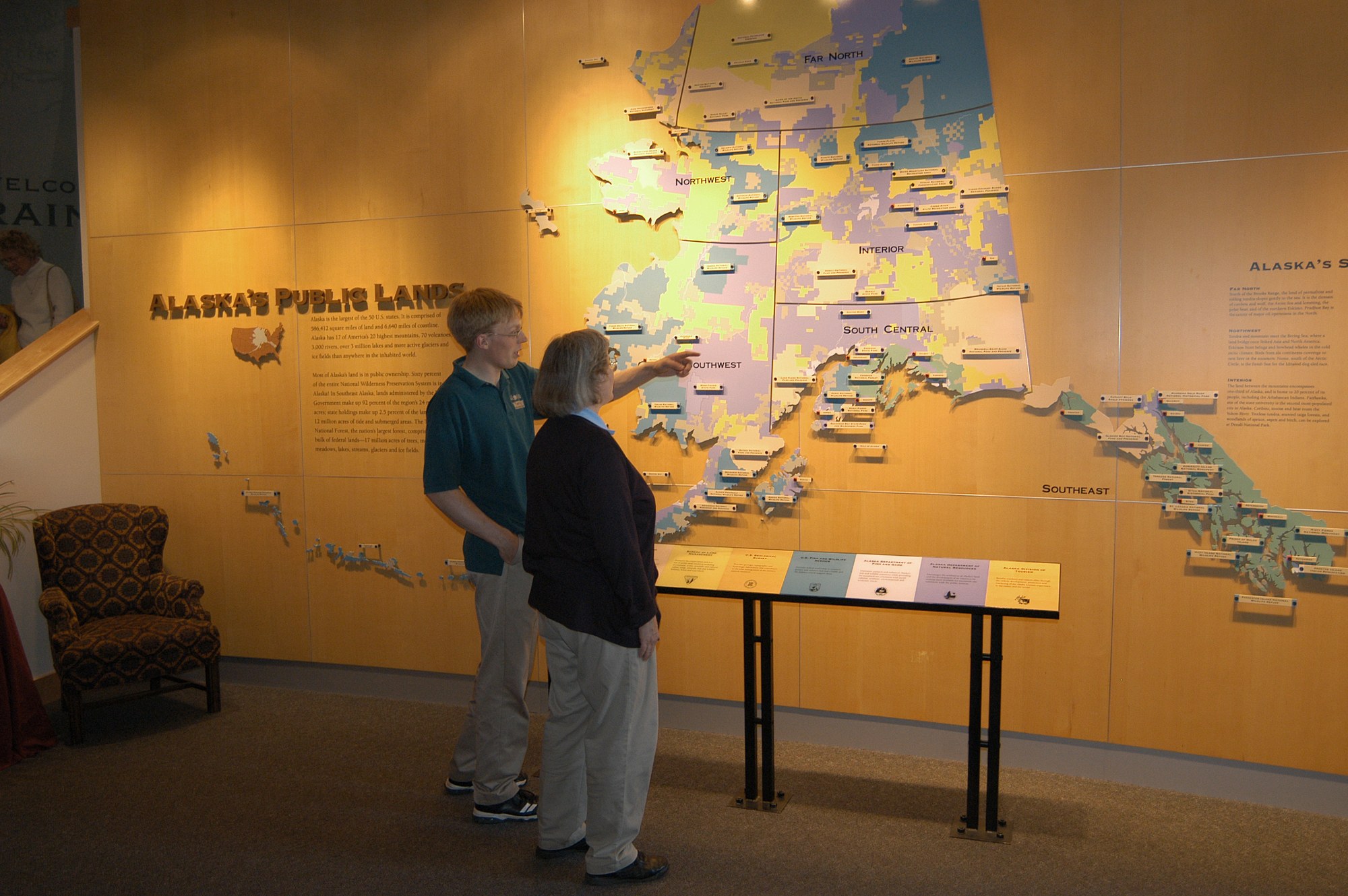
Museum
Visitor center with underwater cameras on Ketchikan Creek and a spotting scope on Deer Mountain.
Museum
State museum in Juneau.

Museum
The home of Skagway's founding Moore family at 5th and Spring, with Captain William Moore's 1887 cabin.
Museum
Opened 1976, with 17 historic poles displayed indoors.
Museum
Alaska Native collections in a distinctive historic octagonal museum.
Museum
Mining museum in the air compressor building of the historic Jualpa Mining Camp, at the end of Basin Road.

Museum
Haines Borough museum of Chilkat Valley art, culture and history, from Chilkat blankets to the Eldred Rock lighthouse lens.

Museum
Main Street museum whose six galleries show over 2,500 hammers from ancient times to today; open mid-May to mid-September.
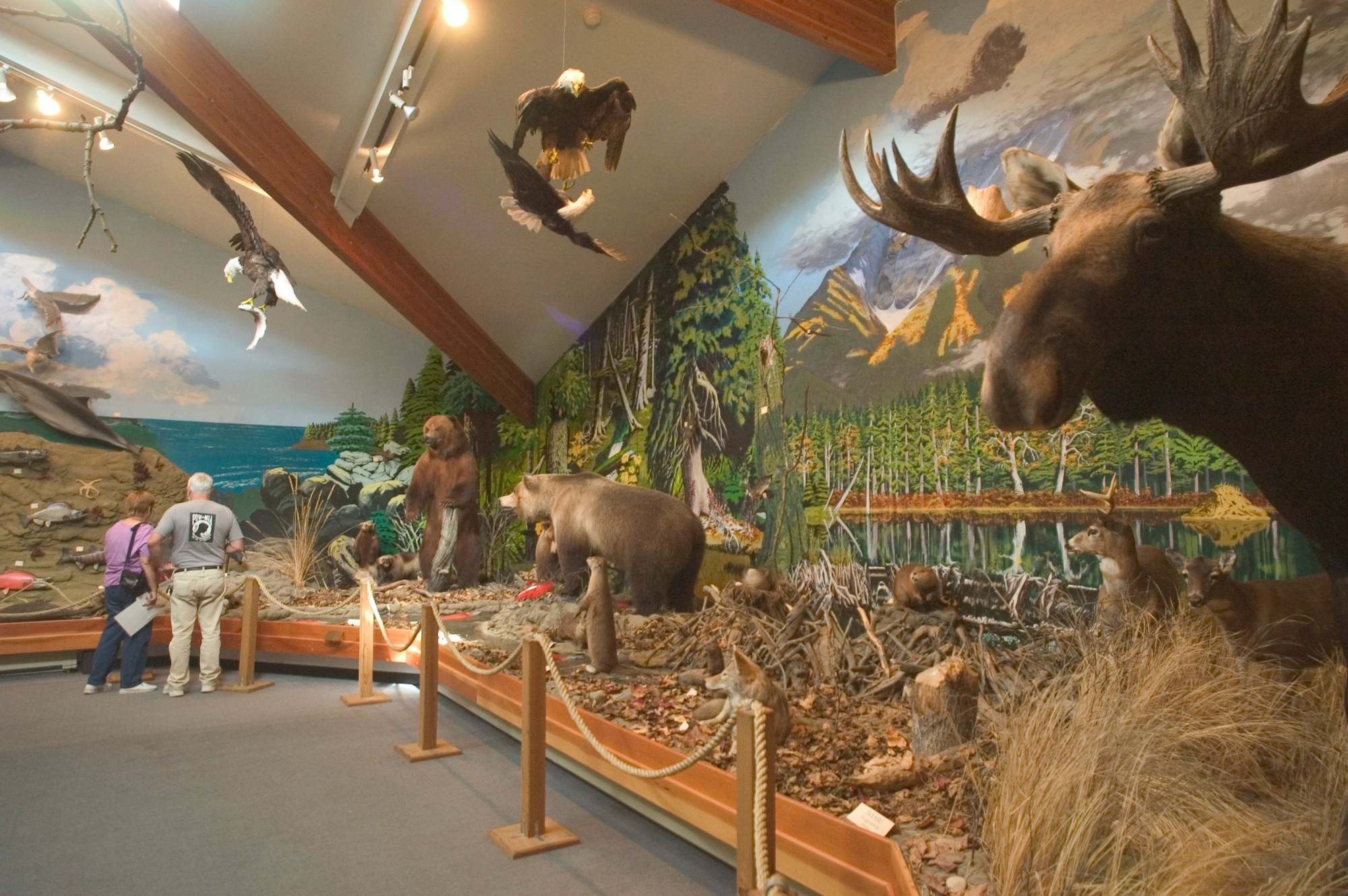
Museum
Natural history museum and live raptor center in Haines; admission $25 adults, $15 children 6 to 12.

Museum
The park visitor center in the 1898 White Pass & Yukon Route depot at 2nd and Broadway: exhibits, ranger talks and a film.

Museum
Soapy Smith's gold rush saloon, a roadside museum since 1935, reopened by NPS in 2016; free timed tickets.

Museum
A Broadway saloon built in 1898, closed by prohibition in 1916 and restored by NPS to its 1904 look.
Museum
City museum of gold rush and local history in the 1899 McCabe College building at 7th and Spring, shared with City Hall.
Glacier
Seen on Endicott Arm glacier cruises.

Glacier
Tidewater glacier southeast of Petersburg in the Stikine-LeConte Wilderness.
Glacier
North America's largest tidewater glacier, 76 miles long, calving into Disenchantment Bay; seen by boat or air from Yakutat.

Glacier
The largest piedmont glacier in North America, a National Natural Landmark on the coast west of Yakutat Bay.

Glacier
Large mainland glacier about 20 miles northeast of Petersburg with a broad outwash plain.
Glacier
Glacier on the Chilkat Range across Chilkat Inlet, one of the signature views from Chilkat State Park.
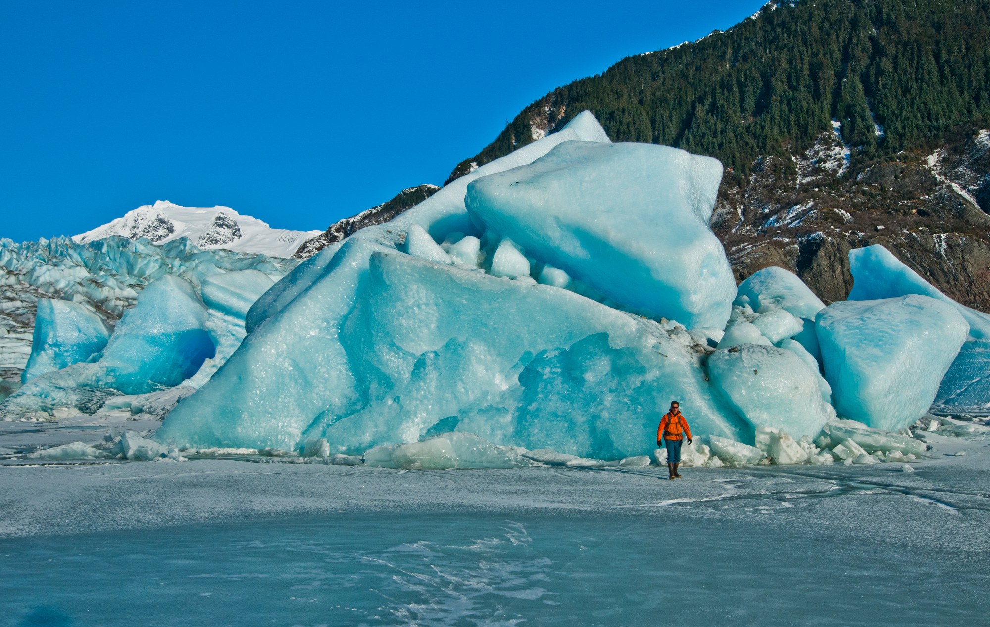
Glacier
13 miles from downtown Juneau, with Nugget Falls and a USFS visitor center.
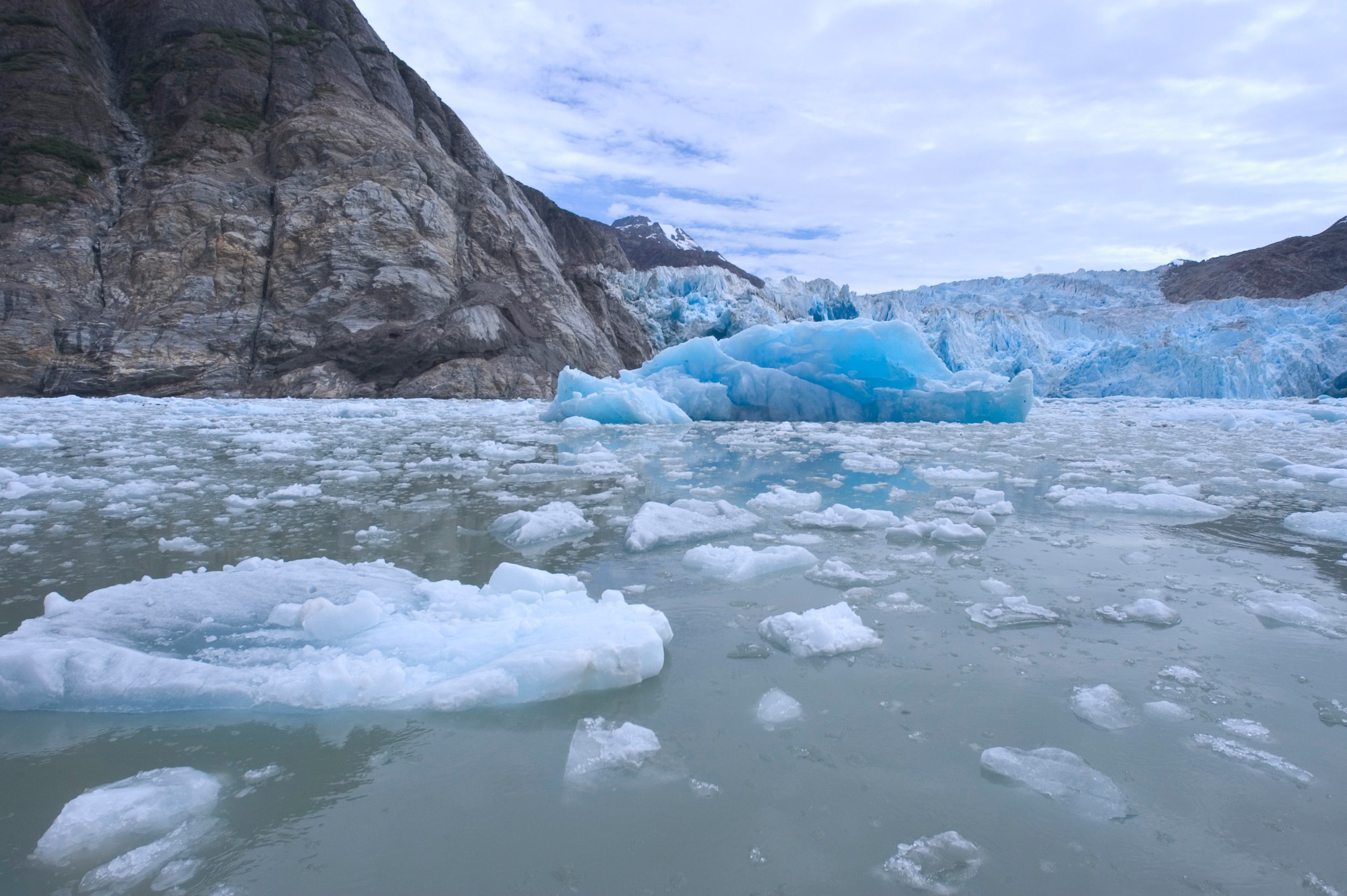
Glacier
Seen on Tracy Arm glacier cruises.
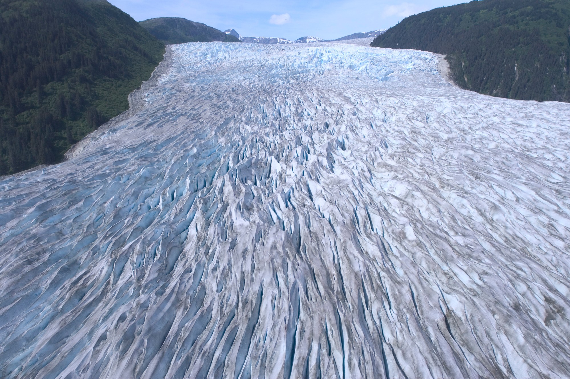
Glacier
Fed by the Juneau Icefield.

Glacier
Brady Icefield tidewater glacier marked by a 2015 landslide and a receding blue ice face.

Glacier
Fast-flowing 21-mile tidewater glacier at the head of Tarr Inlet, a highlight of Glacier Bay cruises.

Glacier
Mile-wide tidewater glacier filling the head of Johns Hopkins Inlet, with seals on the ice.
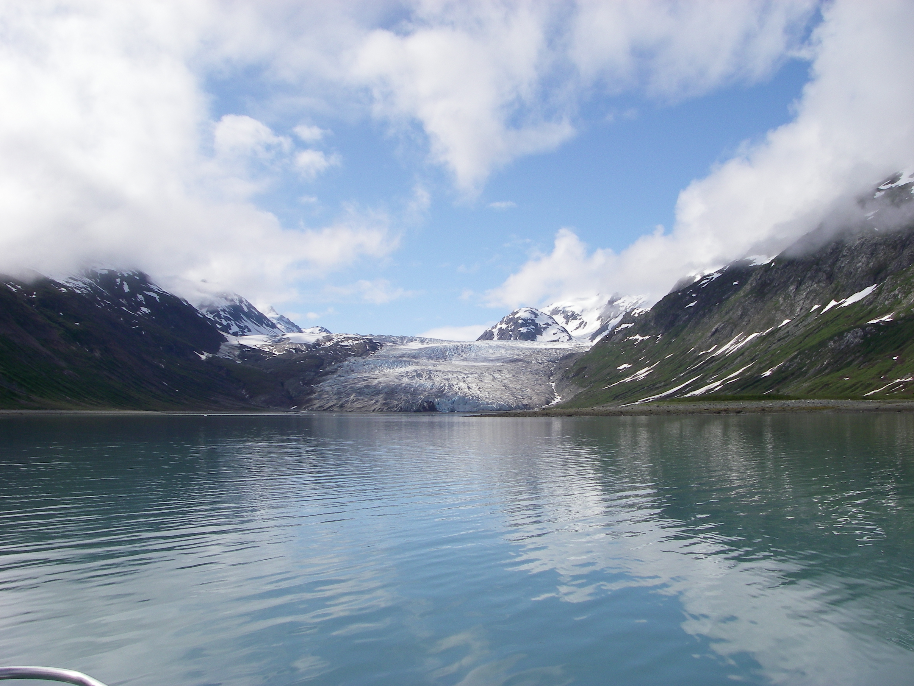
Glacier
Slow-moving glacier at the head of quiet Reid Inlet, a favorite kayak and boat anchorage.

Glacier
Debris-covered glacier at the head of Tarr Inlet that carved Glacier Bay.

Glacier
Large valley glacier from the Chilkat Range, seen across Chilkat Inlet from Chilkat State Park.

Glacier
Glacier above the Skagway River valley, reached by train and a short trail from the WP&YR Glacier stop.
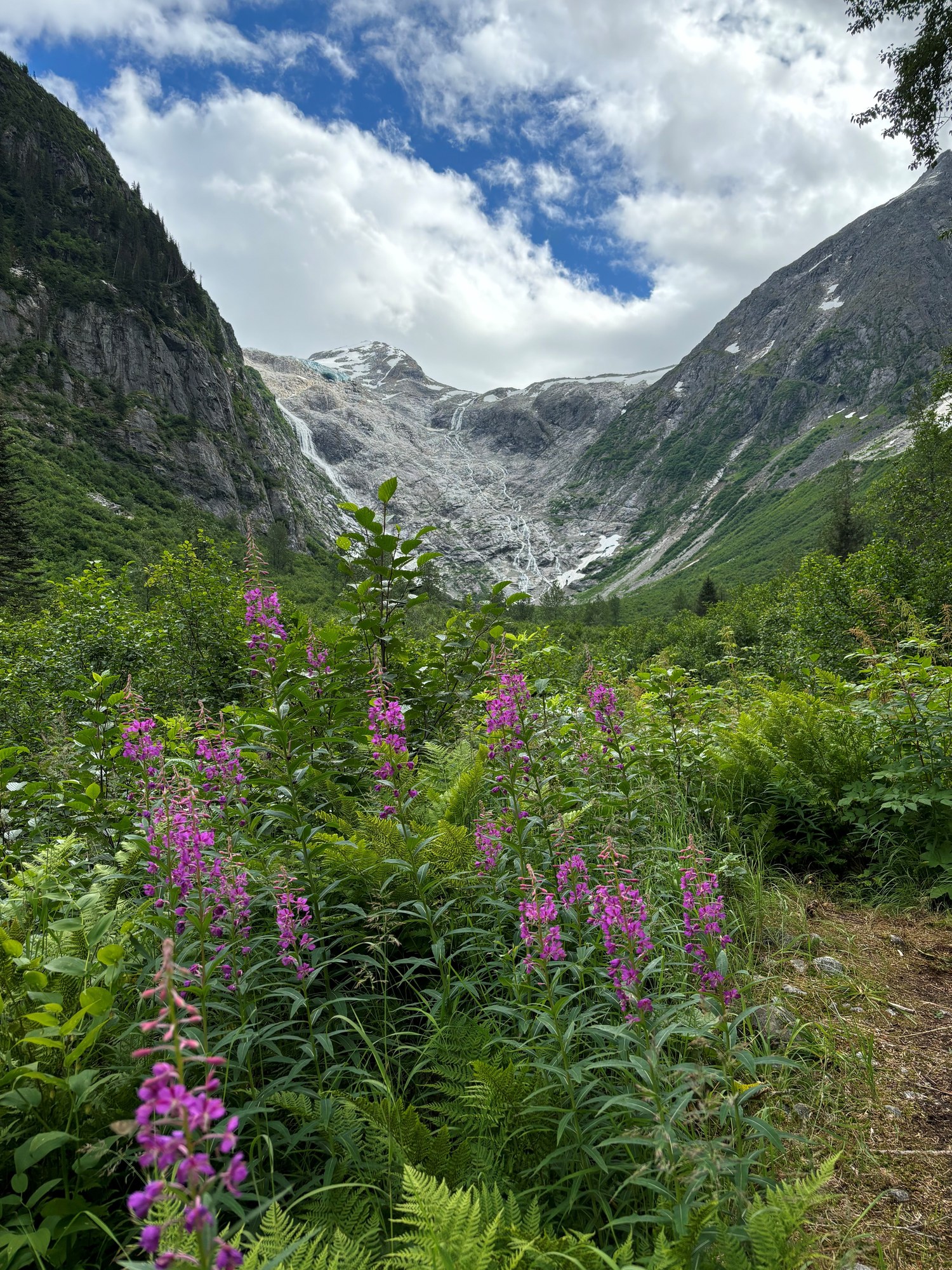
Glacier
Hanging glacier at the head of the East Fork Skagway River, seen from the Denver trail or by helicopter to a sled dog camp.

Hot spring
Boat-in redwood hot tubs on a Stikine River slough northwest of Wrangell.
Hot spring
Remote soaking tub at the end of a 0.2-mile boardwalk on Chichagof Island, reached via Eight Fathom Dock.
Ghost town
Gold rush rival to Skagway at the foot of the Chilkoot Trail, now a quiet NPS site with cemeteries, wharf pilings and wild iris.
Ghost town
Gold rush settlement ruins near mile 7.7 of the Chilkoot Trail, with an old boiler and stoves among the trees.

Gold mine
Ruins of the Douglas Island complex that was once the largest hard-rock gold mine in the world.

Native village
The largest Haida community in the U.S., on the island's southwest coast at the end of the paved Hydaburg road.

Native village
Small Haida village on Kasaan Bay, home to Náay I'waans, the Whale House.

Native village
Tlingit town at the island's road crossroads, with a totem park and the only paved runway.
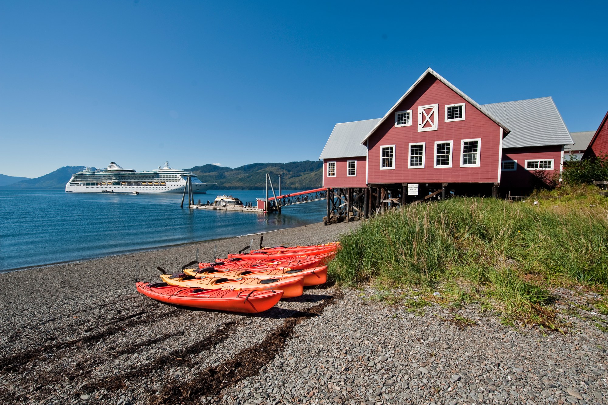
Native village
Tlingit community on Chichagof Island, home of the Huna Tlingit whose homeland includes Glacier Bay.
Native village
Tlingit community on Yakutat Bay, the only permanent settlement on 275 miles of Gulf coast; Yaakwdáat, "where canoes rest."
Native village
Chilkat Tlingit village on the Chilkat River about 21 miles northwest of Haines, home of the Jilkaat Kwaan Heritage Center.

Viewpoint
Alaska's longest mapped cave, seen on free summer ranger tours on the north end of the island.
Viewpoint
North-end beach with sweeping Sumner Strait views and frequent whales.
Viewpoint
Sheltered estuary viewpoint beside the Estuary Life Trail.

Viewpoint
A bay opened in the last century by retreating glaciers below Mount Saint Elias, reached by bush plane for sea kayaking.

Viewpoint
Day-use shelters and vault toilets on Blind Slough south of Petersburg.

Viewpoint
Beach day-use site north of Thorne Bay looking across Clarence Strait, with dispersed camping.

Viewpoint
The first visitor center in the National Forest System, facing Mendenhall Glacier and Nugget Falls.
Viewpoint
4,000-acre tidal refuge beside the airport with more than 140 bird species.

Viewpoint
Wide sandy surf beach near Yakutat Airport with WWII cannons, beach camping and picnic sites.
Viewpoint
The 2,865-foot pass on the US-Canada border, reached by the WP&YR Summit Excursion or the Klondike Highway.
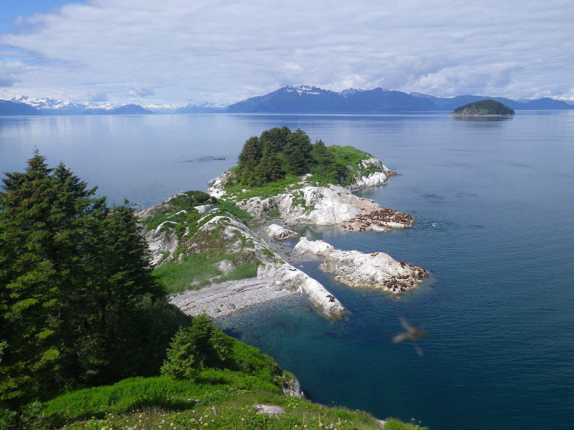
Viewpoint
Seabird colony and Steller sea lion haul-out near Sitakaday Narrows; view only from the water.

Viewpoint
Chilkat River flats where more than 3,000 bald eagles gather from mid-October to January; pullouts at miles 19.5 and 20.9.
Viewpoint
Visitor center cabin with a viewing platform and spotting scopes looking across Chilkat Inlet to Rainbow and Davidson glaciers.
Viewpoint
Pullouts along sheltered Lutak Inlet north of town for seals, sea lions, porpoises, river otters and seabirds.
Waterfall
A 40-foot karst waterfall that vanishes into a cave.

Waterfall
A 130-foot waterfall at the end of the Canoe Point Trail in Trocadero Bay.
Waterfall
Roadside waterfall viewed from two platforms on the Rainbow Falls Trail.

Waterfall
Forest waterfall at the end of Sitka’s Indian River Trail.
Waterfall
Cascading falls a short walk beyond the Gold Rush Cemetery, on the flat walk north of town.
Explore
Southeast's peaks rise almost straight out of the sea.

Mountain
15,300-ft coastal giant on the Alaska–British Columbia border, visible from Bartlett Cove.

Mountain
At 18,008 ft, the second-highest peak in the U.S. and Canada, rising about 11 miles from the Pacific.
Mountain
Notable peak near the Stikine Icefield.
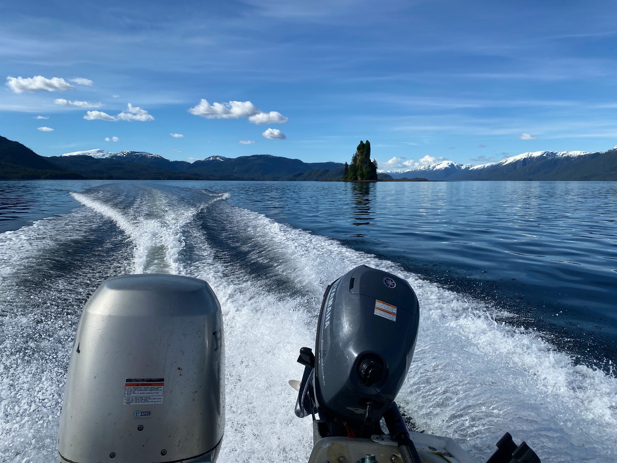
Mountain
A 237-ft basalt volcanic plug in east Behm Canal, named by George Vancouver in the 1790s.
Mountain
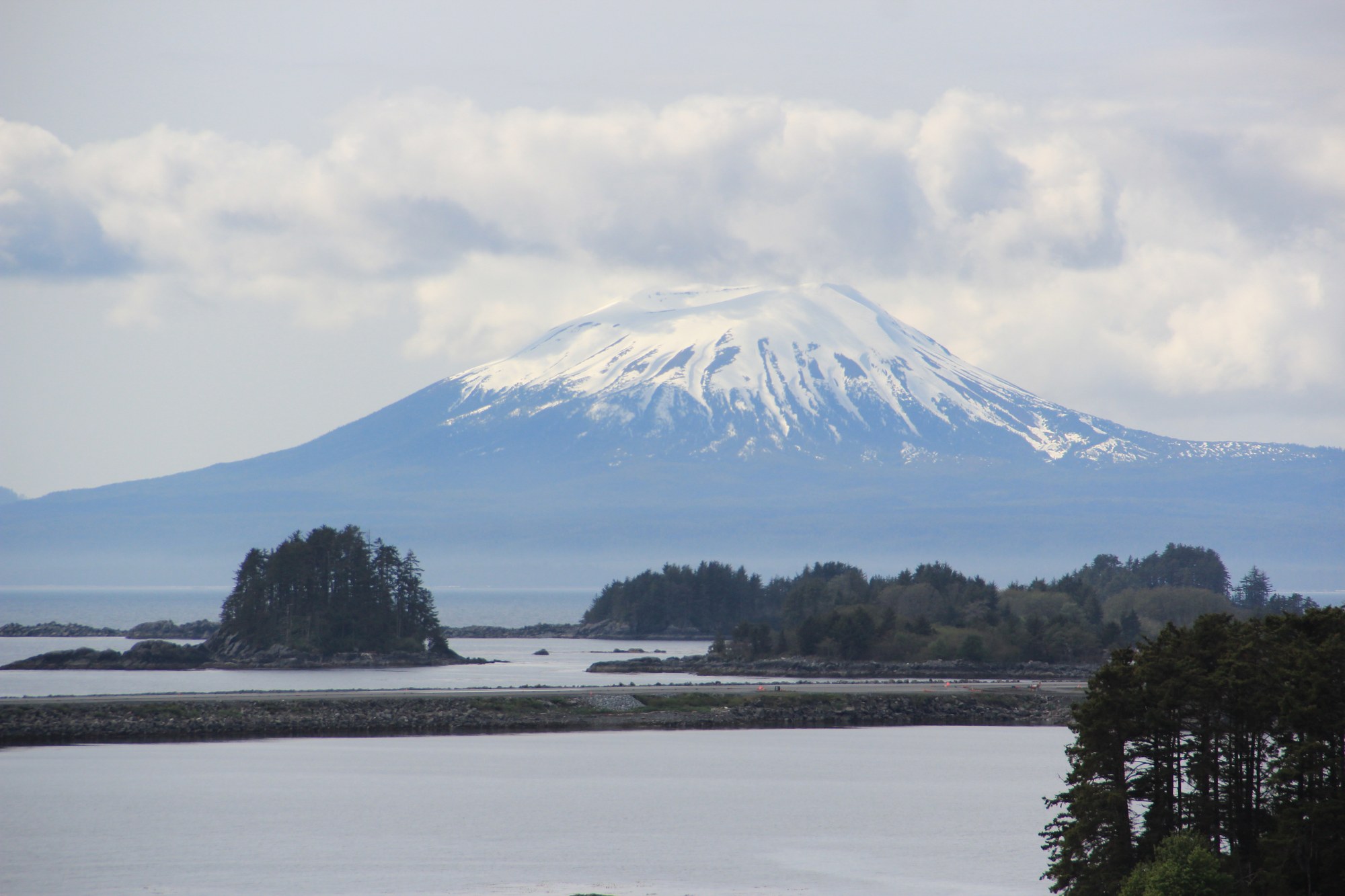
A dormant stratovolcano on Kruzof Island across the water from Sitka.
Mountain
High point of the Juneau Icefield.

Mountain
The landmark above downtown Ketchikan.
Mountain
The summit directly north of Haines at the south end of the Takshanuk Mountains, a classic local day hike.
Mountain
5,321-foot peak about 4.5 miles southwest of Skagway, named for President Harding's 1923 visit.
Mountain
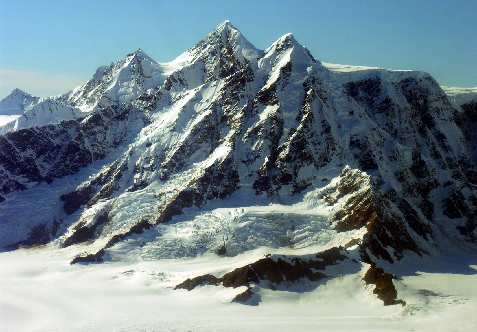
Fairweather Range peak.
Mountain
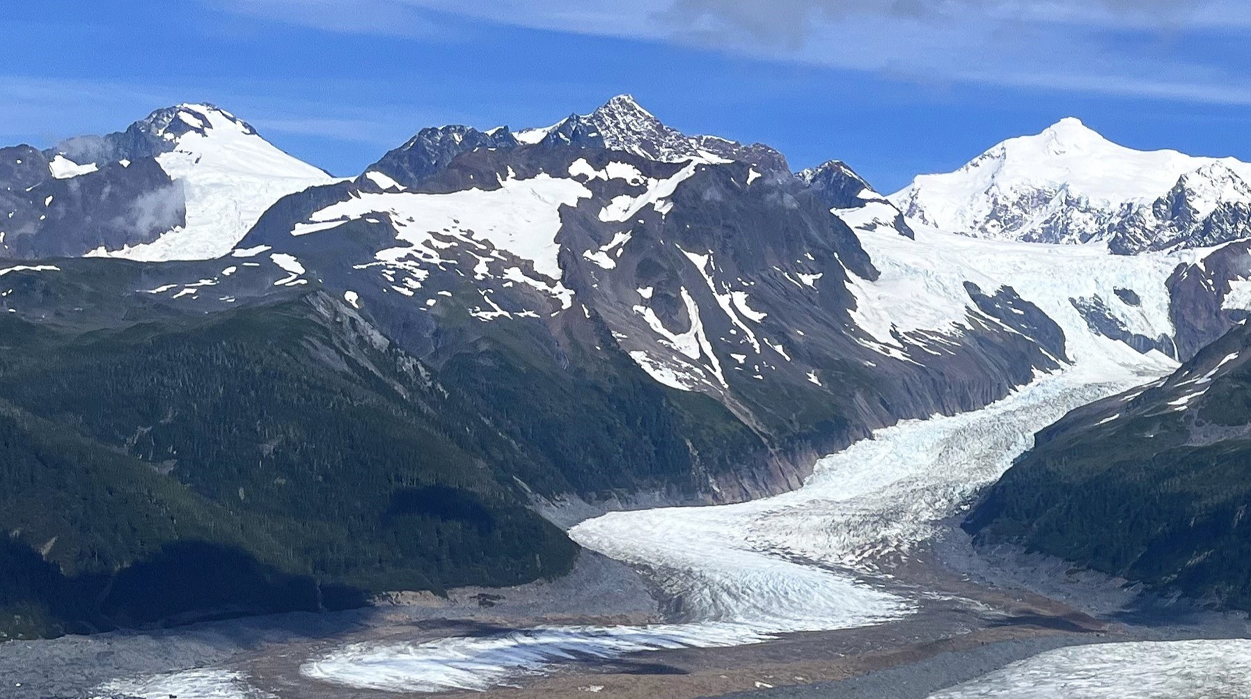
Fairweather Range peak.
Mountain
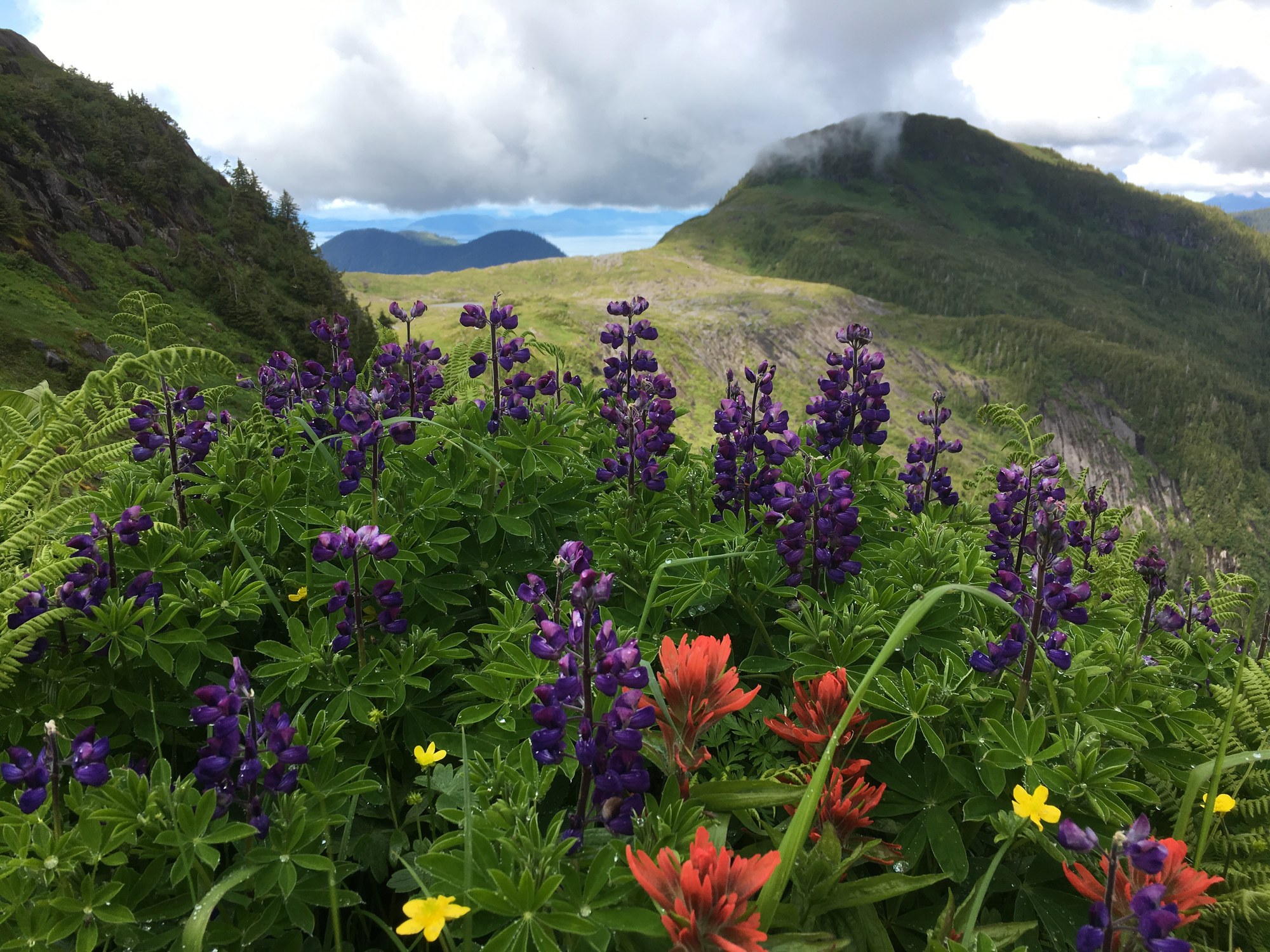
Revillagigedo high-country peak reached by the Dude Mountain Trail; steep route.
Mountain
The peak above Dyea Road, climbed by a difficult 10-mile round-trip trail with about 5,000 feet of gain.
Explore
Most of Southeast is national forest, with national and state parks around the towns.
| Park / unit | Manager | Good to know |
|---|---|---|
| Tongass National Forest | USFS | Most of the region; 19 wilderness areas, 140+ cabins |
| Glacier Bay National Park & Preserve | NPS | Bartlett Cove near Gustavus; private-vessel permits June–Aug |
| Klondike Gold Rush NHP | NPS | Skagway and the Chilkoot Trail; permits and a daily hiker limit |
| Sitka NHP | NPS | Totem trail and the 1804 battle site |
| Misty Fiords National Monument | USFS | Floatplane or boat from Ketchikan |
| Admiralty Island National Monument | USFS | Pack Creek bear viewing by permit (June–Sept) |
| Alaska Chilkat Bald Eagle Preserve | State Parks | ~48,000 acres; eagles peak Oct–Nov |
| Chilkat SP and Chilkoot Lake SRS | State Parks | Near Haines |
| Point Bridget State Park | State Parks | North of Juneau, with cabins |
| Wrangell–St. Elias NP & Preserve | NPS | Southern edge at Hubbard Glacier; covered in its own region |
national forest
Land manager: USFS
national forest
Land manager: USFS
national monument
Land manager: USFS
national monument
Land manager: USFS
national park
Land manager: NPS
other
Land manager: NPS
national park
Land manager: NPS
state park
Land manager: Alaska State Parks
state recreation area
Land manager: Alaska State Parks
other
Land manager: Alaska State Parks
state park
Land manager: Alaska State Parks
state recreation area
Land manager: Alaska State Parks
state park
Land manager: Alaska State Parks
state park
Land manager: Alaska State Parks
Explore
The Tongass has about 450 miles of maintained trail, but most of the forest is trailless. Expect boardwalk, mud, roots and steep switchbacks to treeline.
| Trail | Area | Difficulty | Length |
|---|---|---|---|
| Chilkoot Trail | Skagway (Dyea) to Bennett, BC | Strenuous | ~33 mi one way, 3–5 days |
| Mount Roberts | Juneau | Strenuous | ~4.5 mi to the tram |
| West Glacier | Juneau (Mendenhall) | Moderate | ~6.8 mi round trip |
| Perseverance | Juneau | Easy–Moderate | ~6 mi round trip |
| Deer Mountain | Ketchikan | Strenuous | ~5 mi round trip |
| Gavan Hill & Harbor Mountain | Sitka | Strenuous | Variable ridge traverse |
| Indian River | Sitka | Moderate | ~8.8 mi round trip |
| Mount Riley | Haines | Moderate | ~5 mi round trip |
| Petersburg Mountain / Three Lakes | Petersburg | Moderate | Variable |
The Chilkoot needs a Parks Canada/NPS permit and a border crossing. Trail pages below have the details.

Trail
Steep 2.5-mile ascent to Picnic Rock above Sitka Sound.
2.5 mi
Trail
1.5-mile loop through coastal forest and beach fringe at Starrigavan.
1.5 mi
Trail
Accessible boardwalk and bird-viewing shelter by Starrigavan Creek.
0.3 mi
Trail
Seven-mile wilderness ascent on Kruzof Island, reached by boat.
7.0 mi
Trail
Easy coastal rainforest loops in Sitka National Historical Park.
1.6 mi
Trail
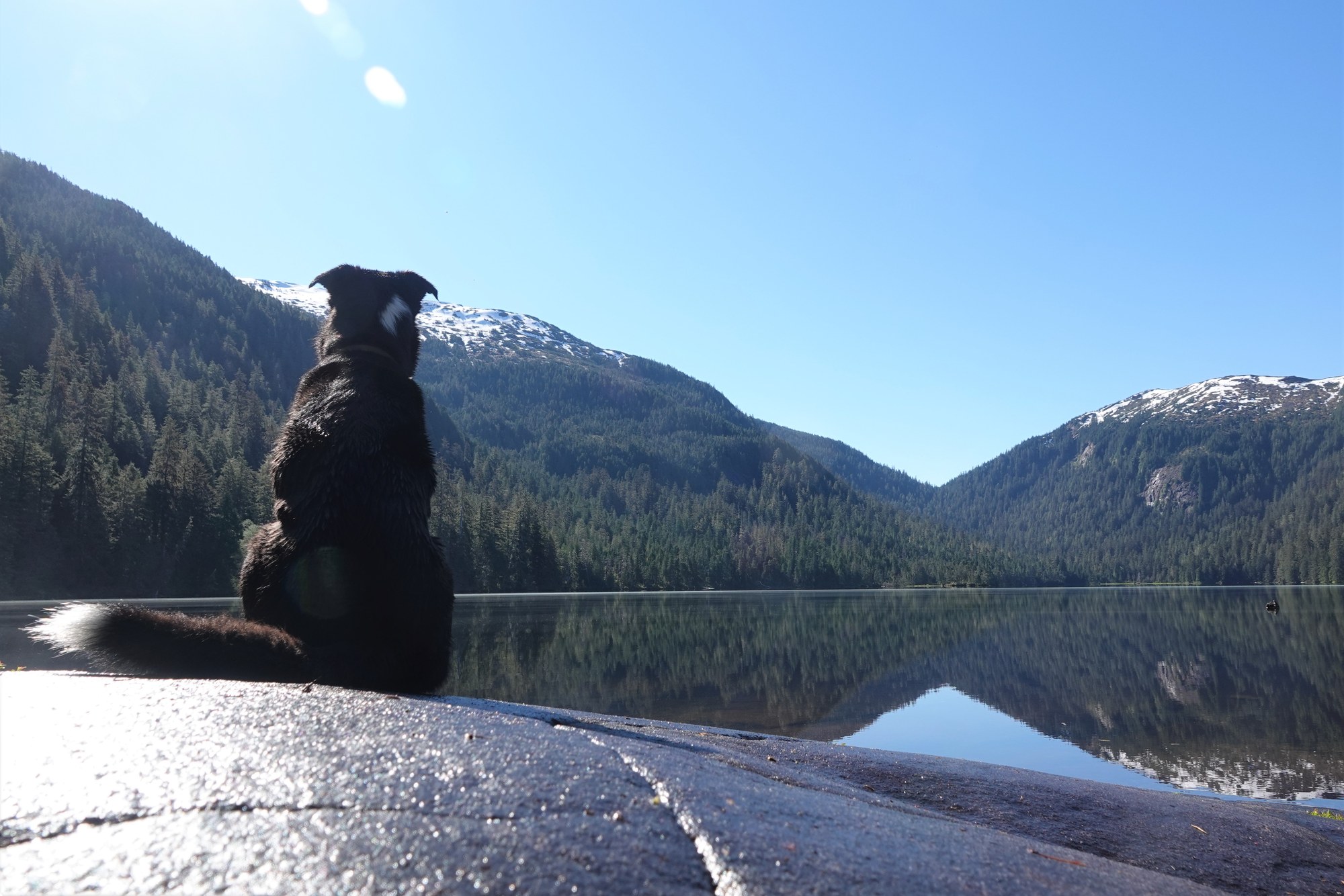
Ward Lake area via Revilla Rd. Two tent platforms at the lake.
2.6 mi

Trail
Forest-and-lake loop from Sawmill Creek Campground.

Trail
13.75-mi, 1–2 day traverse ending at the end of South Tongass Hwy about 13 mi south. Little tread beyond Blue Lake.
13.8 mi
Trail
In-town trail.
1.3 mi
Trail
In town. Fishing platforms at the lake; mountain goats on the slopes above.
1.8 mi
Trail
At the end of North Tongass Hwy.
4.8 mi
Trail
The landmark climb straight out of downtown, with alpine views over Tongass Narrows.
2.8 mi

Trail
Alpine traverse between Baranof Street and the end of Harbor Mountain Road.
6.2 mi
Trail
Coast Guard Base to Mountain Point, with no significant gain. Includes 0.7 mi of highway shoulder.
4.3 mi
Trail
Rainforest walk to Indian River Falls, 4.5 miles each way.
4.5 mi
Trail
Four-mile round trip along a lagoon to the Bartlett River estuary.
4.0 mi
Trail
Moderate climb to the 1,760 ft summit of Mount Riley, the high point of the Haines Peninsula, with 360-degree views.
2.8 mi
Trail
E-shaped trail system linking Sand, Hill and Crane lakes off Three Lakes Loop Road.
Trail
Reached via Revilla Rd and Brown Mountain Rd (FR 8005-120), about 4 mi.
1.6 mi
Trail
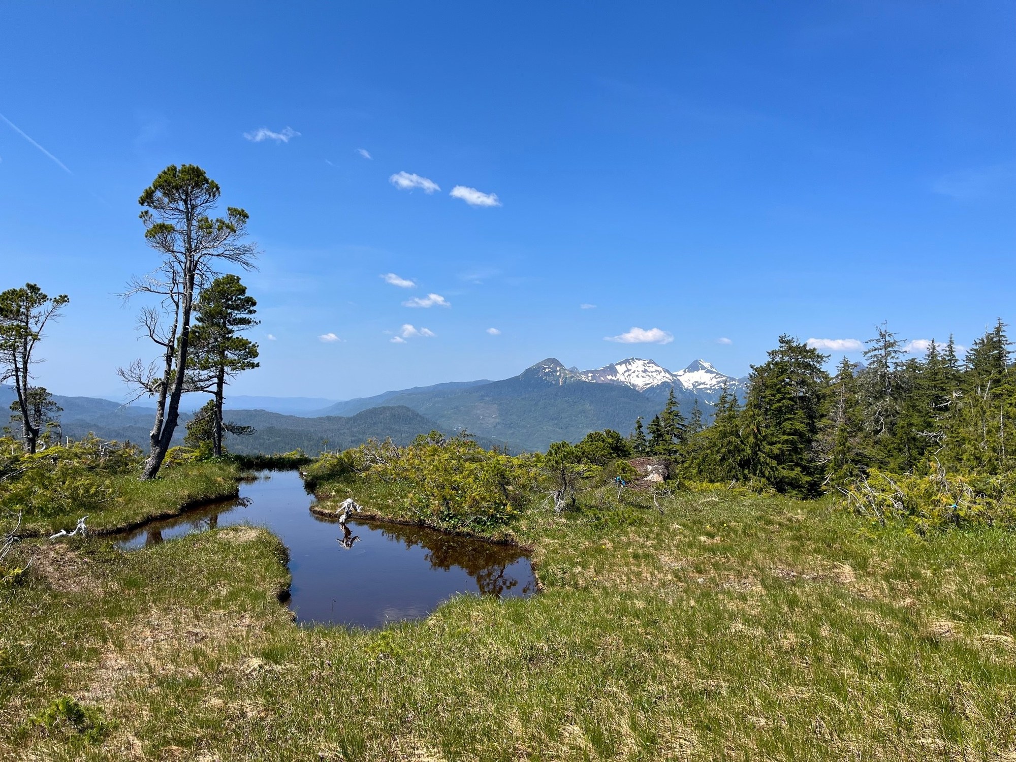
Steep climb from the Hydaburg road to alpine country and a three-sided shelter.
1.1 mi
Trail
Unmaintained route from Montana Creek Road to Windfall Lake; rockslides and damaged bridges.
Trail
The 33-mile gold rush route from Dyea over Chilkoot Pass to Bennett, BC; permits required for overnight trips.
33.0 mi
Trail
Wilderness river trail from Karta Bay to Salmon Lake.
5.0 mi
Trail
The island's classic 30-mile, 3-to-4-day canoe trip through lakes and streams.
30.0 mi
Trail
Barrier-free creek walk near Ohmer Creek Campground through spruce and hemlock.

Trail
Fifteen-mile paddle linking seven lakes from the Sarkar Lake boat ramp.
15.0 mi
Trail
Short north-end walk through muskeg and karst to a 40-foot waterfall that drops into a cave.
1.5 mi

Trail
Riverside trail across from Harris River Campground, with a short interpretive loop.
2.0 mi
Trail
Lakeshore loop from the Balls Lake picnic shelter, linked to Eagles Nest Campground.
2.2 mi
Trail
Quarter-mile boat-access trail in Trocadero Bay to a 130-foot waterfall.
0.3 mi

Trail
4.1-mile trail from Cascade Creek Cabin past falls toward Falls Lake.
4.1 mi
Trail
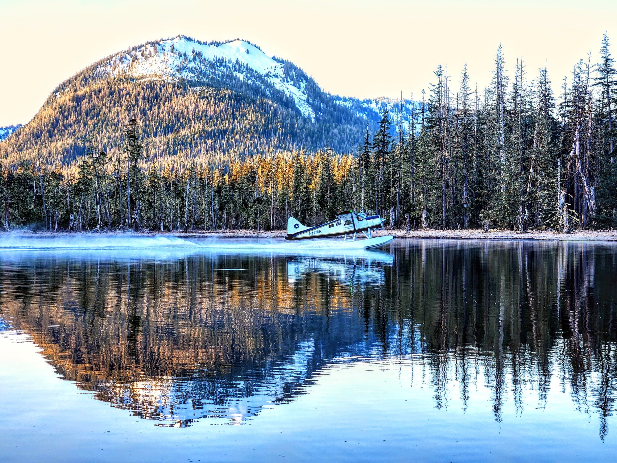
Wilderness trail across Wrangell Narrows country to Petersburg Lake Cabin.
10.5 mi
Trail
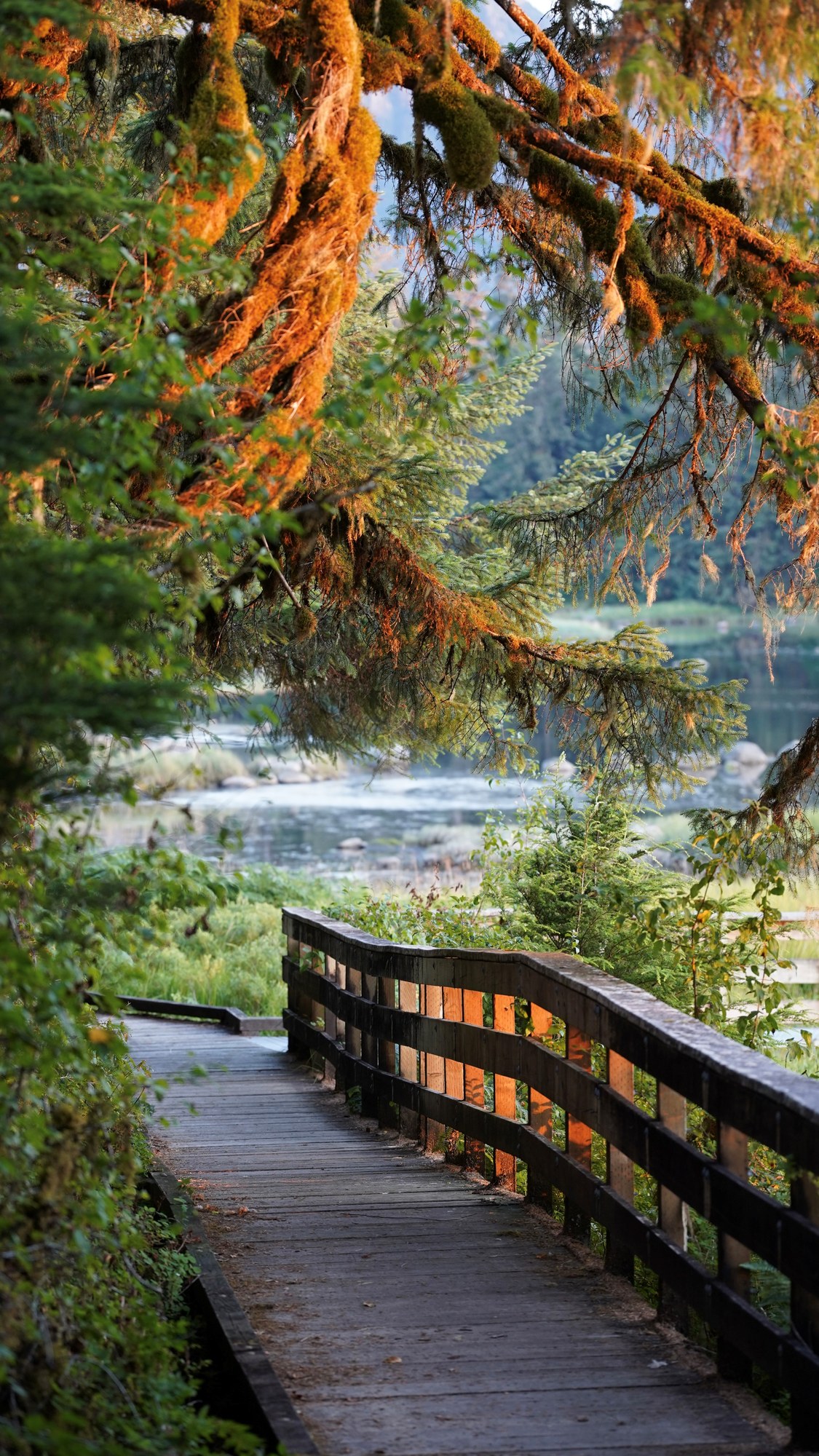
Short roadside trail to Blind River Rapids with a three-sided shelter.
0.5 mi
Trail
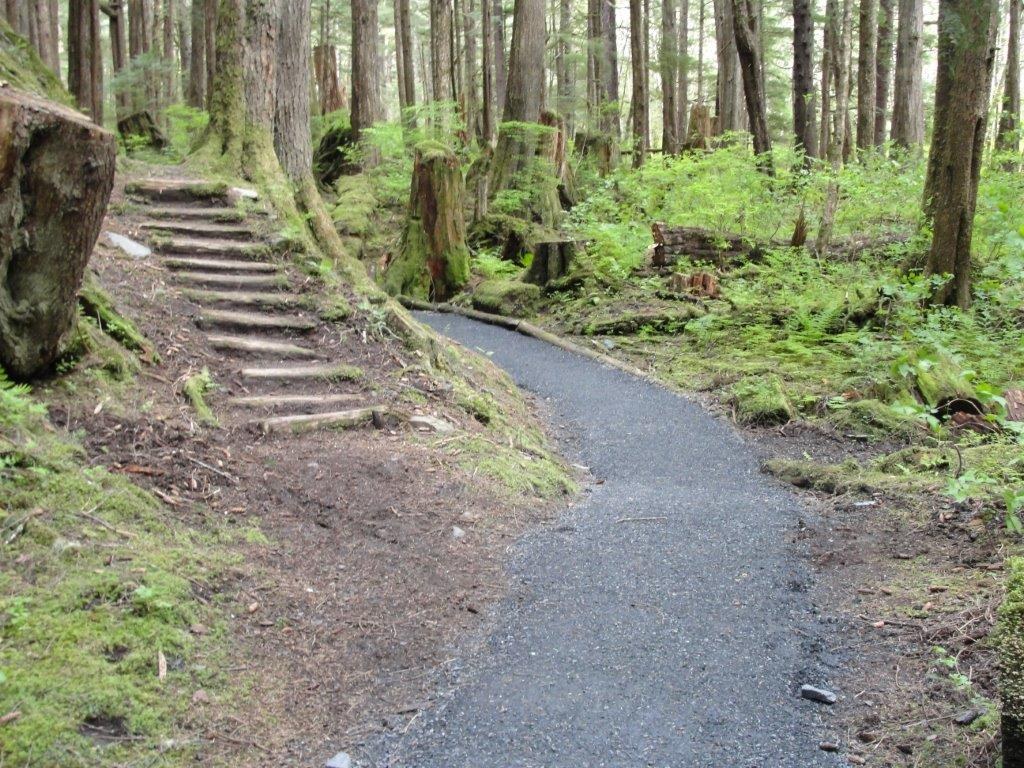
Short 0.7-mile mostly boardwalk trail to Rainbow Falls south of Wrangell.
0.7 mi

Trail
Half-mile trail from Anan Bay to the wildlife observatory decks.
0.5 mi
Trail
Steep climb from the Kupreanof Island dock area to alpine views over Petersburg.
Trail
4.2-mile climb from Sandy Beach Road to Raven's Roost Cabin above the airport.
4.2 mi
Trail
0.8-mile connector between Ideal Cove on Frederick Sound and the Three Lakes system.
0.8 mi
Trail
Less-maintained full-day trail over a moraine to Bartlett Lake.
8.0 mi
Trail
Forest path from Situk Landing Road to the lower Situk below the ADF&G weir, then upriver to the Oxbow.
2.5 mi
Trail
Muskeg and old-growth trail to Situk Lake Cabin, with Brabazon Mountain views.
3.1 mi
Trail
Juneau’s most popular trail, up Gold Creek from Basin Road to Silverbow Basin and the Perseverance Mine ruins.
3.0 mi
Trail
Forest trail along the Herbert River to Windfall Lake and its public-use cabin.
3.2 mi

Trail
Wide gravel path up the Herbert River valley to a moraine below Herbert Glacier; good for mountain bikes.
4.9 mi

Trail
Trail along the west side of Mendenhall Lake to a rock outcrop above the glacier.
3.5 mi
Trail
Rough, wet 7-mile trail past beaver ponds and meadows to Eagle Glacier and its cabin.
7.0 mi
Trail
Muddy 4.3-mile trail on an old mining tram route to Peterson Lake Cabin.
4.3 mi
Trail
Planked Douglas Island trail climbing to an alpine bowl and the Dan Moller Cabin.
3.0 mi
Trail
Mostly level trail along the old Treadwell Mine water ditch across Douglas Island.
10.4 mi
Trail
Partly planked 3-mile climb through muskeg to the John Muir Cabin above Auke Bay.
3.0 mi
Trail
Wilderness trail across north Admiralty Island linking Admiralty Cove and Young Lake cabins.
4.8 mi
Trail
One-mile trail from the Pack Creek bear-viewing tower; permit required in season.
1.0 mi

Trail
One-mile rainforest and beach loop at Glacier Bay headquarters, with daily ranger walks.
1.0 mi
Trail
Half-mile shoreline stroll past a dugout canoe, whale skeleton and the Huna Tribal House.
0.5 mi
Trail
Wilderness extension from Situk Lake Cabin to Mountain Lake below the Brabazon Mountains.
2.0 mi
Trail
Short walk over a terminal moraine to Russell Fiord, ringed by trees killed when Hubbard Glacier dammed the fjord.
0.8 mi
Trail
Level rail-trail on the old Yakutat Southern Railroad grade, from town near the school to the airport end.
2.5 mi
Trail
Level loop around a saltwater lagoon in town, past a Tlingit memorial totem pole.
0.7 mi

Trail
Loop above the east side of Mendenhall Lake with glacier views and a side trip to A-J Falls.
2.8 mi

Trail
Flat 0.8-mile walk along Mendenhall Lake to the foot of Nugget Falls.
0.8 mi

Trail
Short forest trail at the end of Dangerous River Road to iceberg-dotted Harlequin Lake below Yakutat Glacier.
0.8 mi
Trail
Train-access trail from the WP&YR Glacier stop (mile 14) through old-growth forest to the Laughton Glacier cabin and moraine.
1.5 mi
Trail
Steep, minimally maintained trail from Haines Highway mile 7 to the 7-Mile Saddle, Peak 3920 and Mount Ripinski.
5.6 mi
Trail
The recommended route up Mount Ripinski above town, from the end of Skyline Road; steep forest then open alpine views.
4.0 mi
Trail
The shortest and steepest way up Mount Ripinski, from Piedad Road about 1.5 miles up the Haines Highway.
2.5 mi
Trail
Easy forest-and-beach walk from the end of Beach Road to Kelgaya Point and Battery Point on Lynn Canal.
1.8 mi
Trail
Easy-to-moderate walk off FAA Road to Lily Lake, with views of the Chilkat River delta and a link to Mount Riley.
1.9 mi
Trail
Long coastal trail from Chilkat State Park toward the tip of the Chilkat Peninsula, with Davidson Glacier views.
7.0 mi
Trail
Two-mile riverside trail at the Council Grounds in the Alaska Chilkat Bald Eagle Preserve.
2.0 mi
Trail
Train-access trail from the Denver Caboose cabin up the East Fork Skagway River valley toward Denver Glacier.
4.5 mi
Trail
Difficult 10-mile round trip from Dyea Road with 5,000 feet of climbing; dangerous above treeline.
5.0 mi

Trail
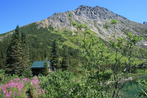
The most popular hike from downtown: a short steep climb to Lower Dewey Lake and a loop through pine forest around it.
0.9 mi
Trail
Steep climb of about 3,100 feet from Lower Dewey Lake to an alpine lake with a public shelter and rental cabin.
3.0 mi
Trail
Alpine extension from Upper Dewey Lake to the Devil's Punchbowl tarn; 2.5 miles round trip and 600 feet more climbing.
1.3 mi
Trail
Dewey Lakes system trail to Icy Lake and Upper Reid Falls; 7 miles round trip with 850 feet of climbing.
3.5 mi

Trail
Forest trail from Lower Dewey Lake to a beach on Taiya Inlet with a picnic table and old sawmill remains.
3.5 mi
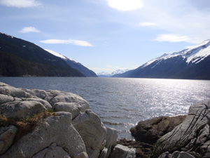
Trail
Easy walk across the Skagway River footbridge to Yakutania Point, with a picnic shelter and harbor seal viewing.
0.5 mi
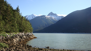
Trail
Easy trail beyond Yakutania Point to Smuggler's Cove, with a picnic shelter and privy.
2.0 mi
Trail
Flat walk north of town to the Gold Rush Cemetery and Lower Reid Falls; 4 miles round trip from downtown.
2.0 mi
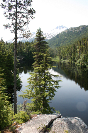
Trail
Steep 2-mile climb of about 1,500 feet near Dyea to Lost Lake, a rainbow trout lake.
2.0 mi
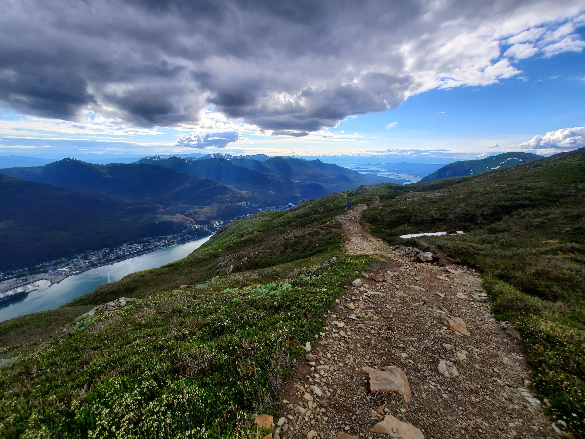
Trail
Switchbacking climb from Basin Road to the Mountain House and Mount Roberts summit.
4.5 mi
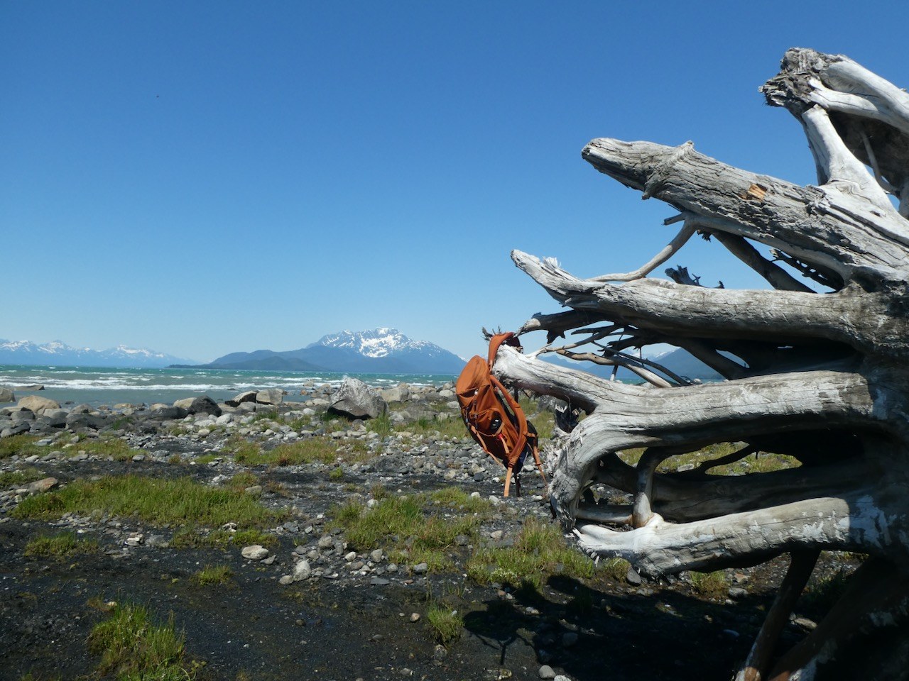
Trail
Muskeg, meadow and beach trail to Berners Bay and Point Bridget, with three state cabins.
3.4 mi
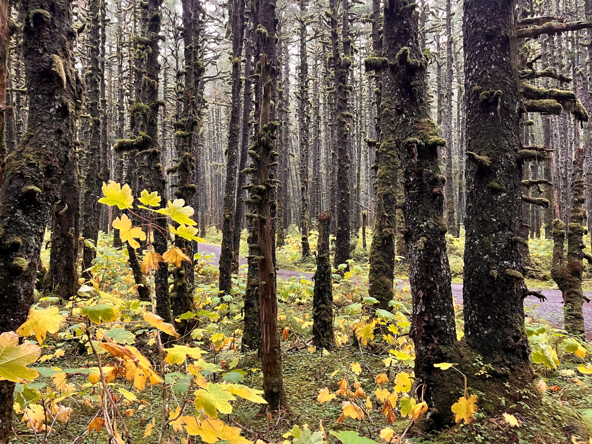
Trail
Riverside trail from Nine Mile Bridge to the Middle Situk cabins and airstrip, with many fishing access points.
4.0 mi
Trailhead
Half a mile up Ketchikan Lakes Rd, past the Nordstrom Dr junction.
Shelter / lean-to
CCC-era three-sided shelter on Seymour Canal, Admiralty Island.
Shelter / lean-to
First-come shelter on the Deer Mountain Trail.
Shelter / lean-to
One of five three-sided shelters in Misty Fiords.
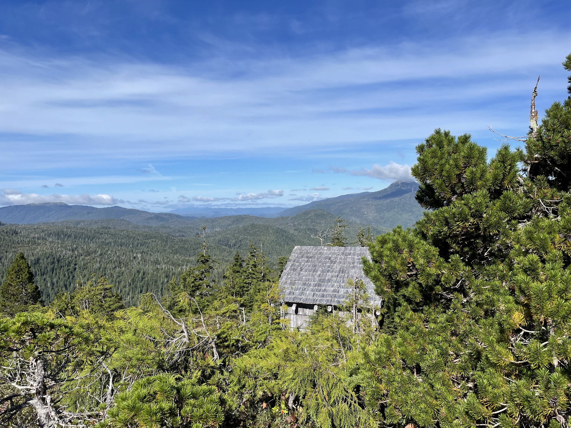
Shelter / lean-to
Three-sided alpine shelter at the top of the One Duck Trail, first-come, first-served.
Shelter / lean-to
Free three-sided shelter on the Blind River Rapids Trail overlooking Blind Slough.
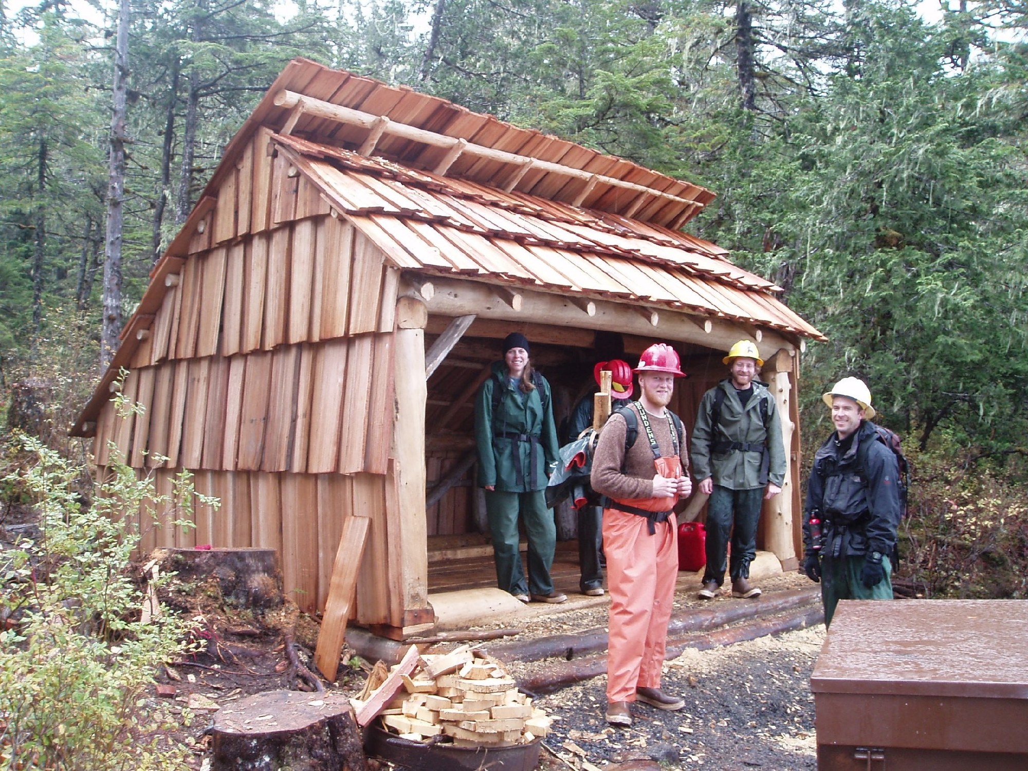
Shelter / lean-to
Free three-sided shelter on Shelter Lake along the Three Lakes Trail.
Shelter / lean-to
Alpine trail shelter between the two Sitka mountain trailheads.
Shelter / lean-to
First-come emergency shelter on Icy Strait at the north tip of Chichagof Island.

Shelter / lean-to
Free two-room A-frame on the airstrip at the end of Dangerous River Road, about a mile from Harlequin Lake.
Explore
World-class salmon and halibut, plus a quiet trout and steelhead fishery. Nearly all of it is reached by boat or floatplane.
King retention has been heavily restricted in recent seasons, and nonresident halibut and king limits change every year. Check current ADF&G Southeast regulations and emergency orders.
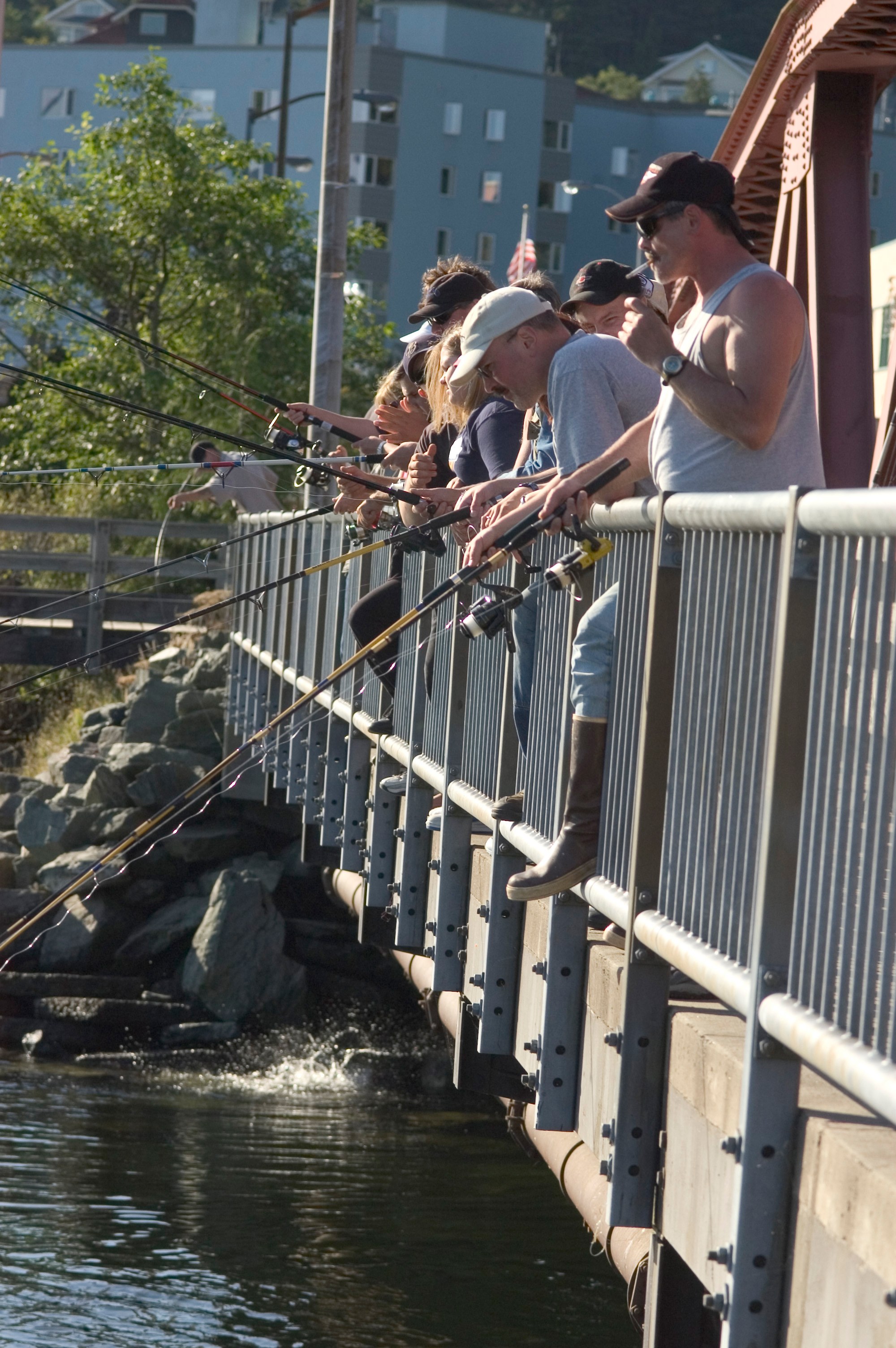
Fishing spot
Downtown salmon and steelhead creek; unbaited single hook only.
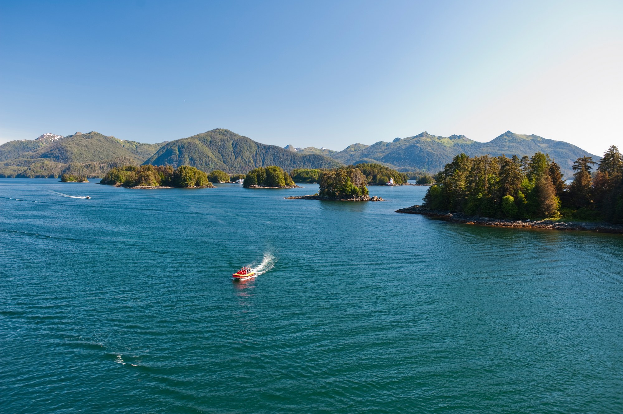
Fishing spot
Boat-based salmon and bottomfish waters on Alaska’s outer coast.
Fishing spot
Hatchery terminal area.
Fishing spot
Hatchery terminal area open June 1–July 31; kings 3 per day.
Fishing spot
Charter fishing for all five salmon, halibut, lingcod, Pacific cod and rockfish.
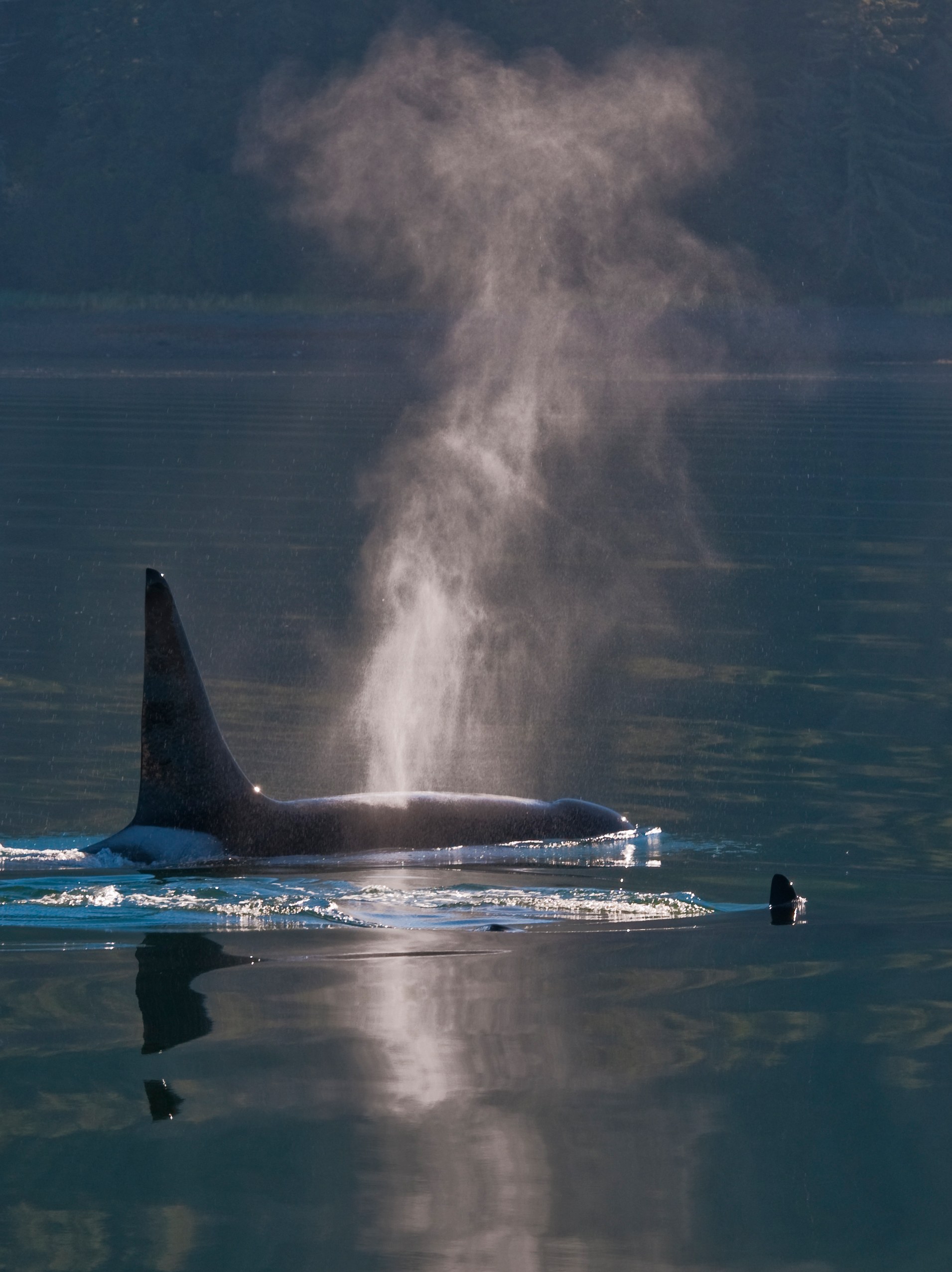
Fishing spot
Saltwater fishing from Elfin Cove and Gustavus.
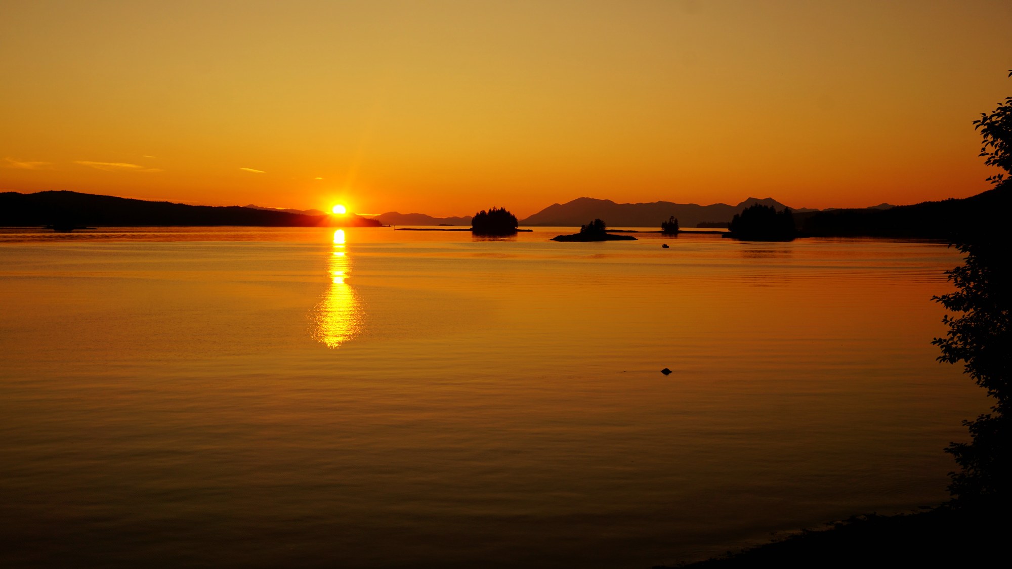
Fishing spot
Saltwater fishing near Ketchikan.
Fishing spot
Unbaited single hook in the drainage; steelhead catch-and-release.
Fishing spot
No bait on the Naha; steelhead catch-and-release. Fly-in lakes are artificial-lure only.
Fishing spot
Northern Behm Canal is closed to all salmon fishing; southern Behm is closed May 1–Aug 14.

Fishing spot
The island's biggest road-accessible river for steelhead, coho and trout, reached at Gravelly Creek.
Fishing spot
Wilderness steelhead and trout river reached by boat or floatplane to Karta Bay.
Fishing spot
Saltwater salmon and halibut out of Craig, Klawock and Waterfall.
Fishing spot
Road-accessible west-side creek for coho and steelhead, with free campsites and a cabin.
Fishing spot
Hatchery-boosted river with the island's largest coho return, right at Klawock.
Fishing spot
Roadside coho river beside Harris River Campground.
Fishing spot
North-end lake with a renowned cutthroat fishery and summer-run hatchery coho near Whale Pass.
Fishing spot
Roadside king and coho water on Mitkof Island, with a terminal harvest area for hatchery kings.
Fishing spot
Trout lake with a road access site, draining to Eagle Creek's steelhead run.
Fishing spot
Canoe-route lake with cutthroat and rainbow trout and a steelhead outlet river.
Fishing spot
Small roadside creek beside Ohmer Creek Campground south of Petersburg.
Fishing spot
Popular roadside fishing hole on Blind Slough with a short trail and shelter.
Fishing spot
Road-accessible sockeye, pink, chum and coho fishing below Chilkoot Lake, plus Dolly Varden; the river above the lake is closed to salmon.
Fishing spot
Mainland river fishing and wildlife access from Wrangell into the Stikine-LeConte country.
Fishing spot
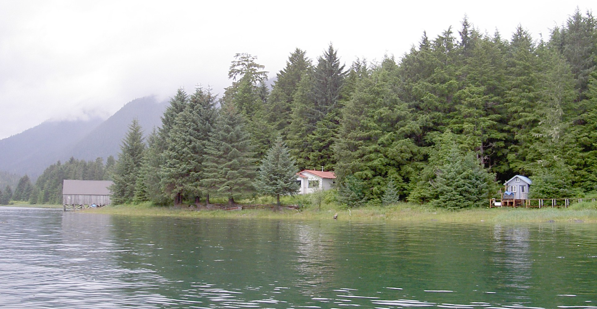
Narrow channel between Mitkof and Kupreanof islands, fished for salmon and bottomfish.
Fishing spot
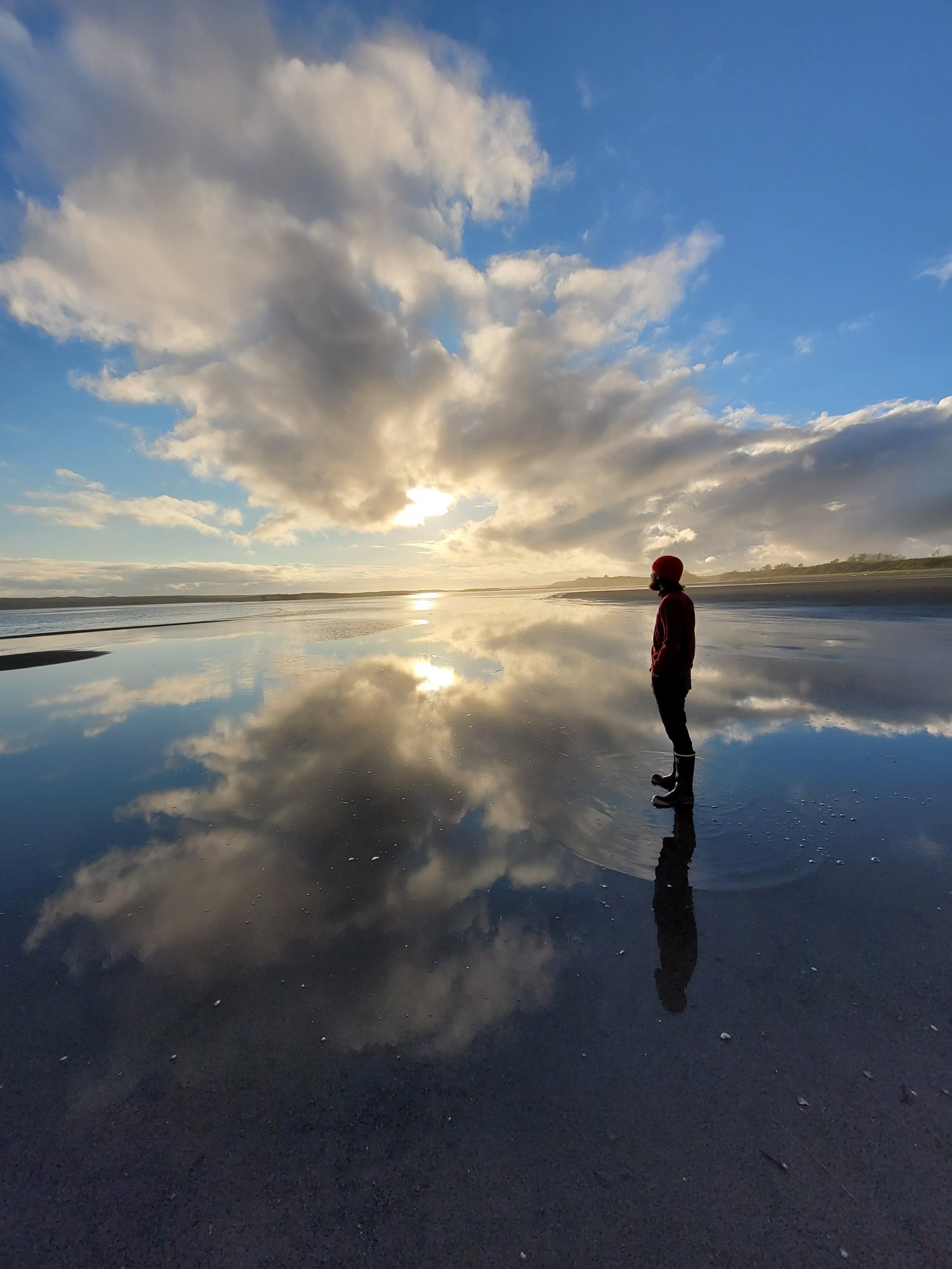
Remote coastal river about 30 miles southeast of Yakutat, known for fall coho; fly in to the Forest Service cabin.
Fishing spot
In-town Juneau lake where bait is allowed year-round; stocked-size salmon and trout limits.
Fishing spot
North Douglas Island pond with a summer king salmon fishery.
Fishing spot
Fly-in wilderness lake with two cabins and skiffs; trout slot limit.
Fishing spot
Yakutat's famous steelhead, sockeye and coho river: a 13.5-mile float from Nine Mile Bridge to the ocean.
Fishing spot
Road-system river near town with fly and lure coho fishing; upstream of the bridge open Jan 1 to Aug 14.
Fishing spot
Saltwater lagoon by town with a coho fishery; the eastern part is open Oct 1 to Aug 14.
Fishing spot
Charter-boat halibut, lingcod, rockfish and salmon fishing in Yakutat Bay and the outer coast.
Fishing spot
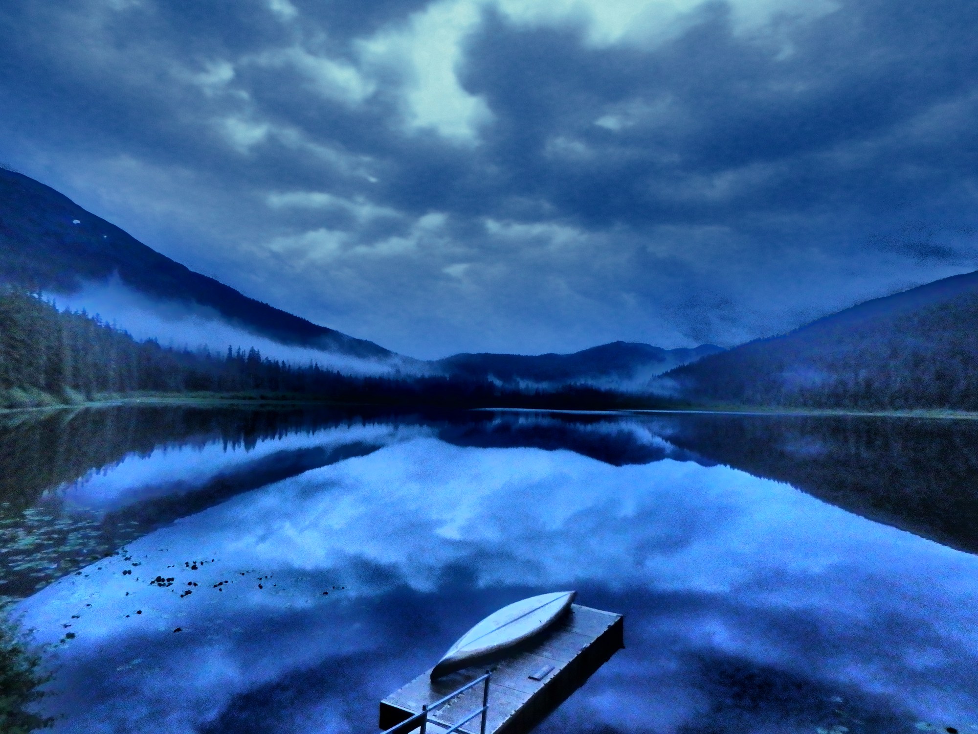
Trail-access lake with a cabin; lures only and catch-and-release sockeye.
Fishing spot
Roadside river with Southeast Alaska's third-largest coho run in October and November, plus spring Dolly Varden and cutthroat.
Fishing spot
Roadside high-use cutthroat trout lake in the upper Chilkat drainage; lures and flies only, fished year-round.
Fishing spot
Boat fishery for enhanced king salmon in Taiya Inlet from June to August, launching at the Skagway harbor ramp.
Fishing spot
Downtown creek where returning hatchery kings and pink salmon gather in July and August.
Fishing spot
Hike-in lake a mile above town with Dolly Varden and brook trout (stocked before 1950, now 10 to 12 inches).
Fishing spot
Boat fishery for king salmon in May and June, launching at Letnikof Cove or Chilkat State Park.
Fishing spot
Hike-in rainbow trout lake above Dyea; bait allowed, 2 rainbows a day, 9 inches or longer.
River
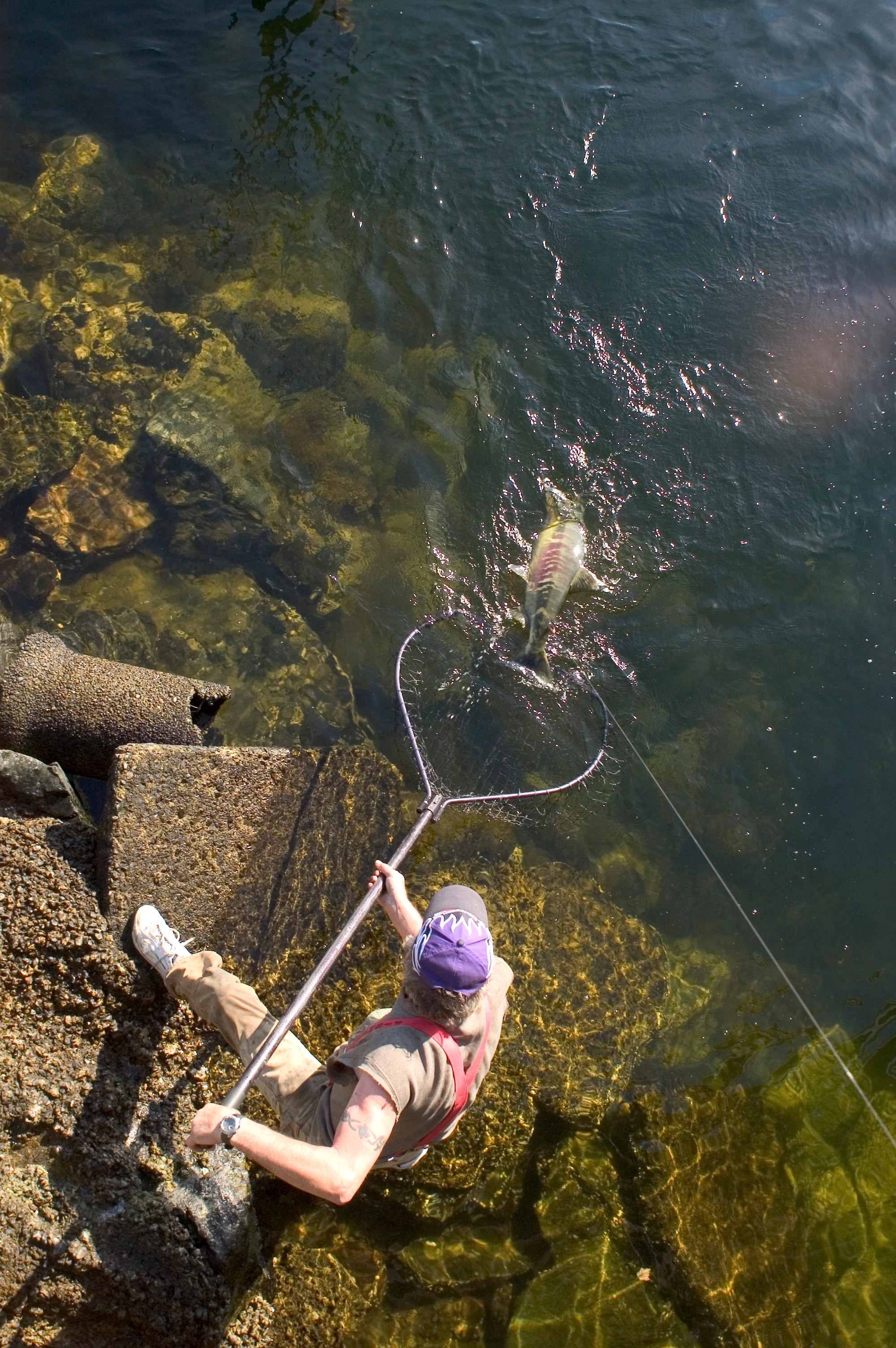
Salmon creek through downtown Ketchikan, under Creek Street.
River
Ward Lake drainage north of Ketchikan.
River
Drainage with fly-in lakes north of Ketchikan.
River
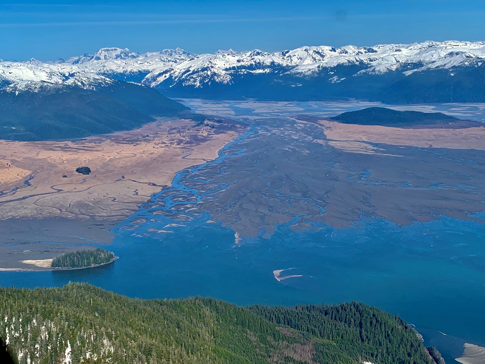
Major mainland river at Wrangell, through the Coast Mountains.
River
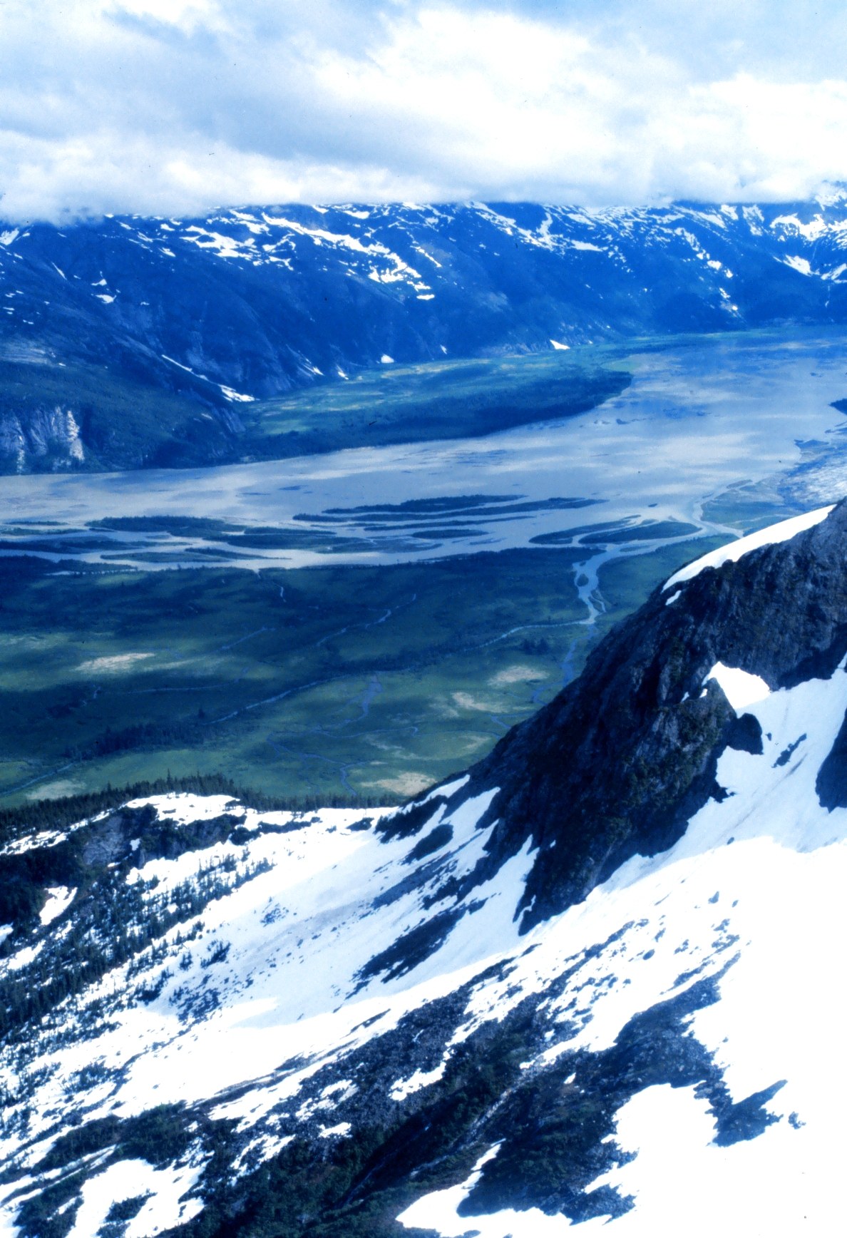
Mainland river near Juneau known for kings.
River
Yakutat's famous steelhead and salmon river, crossed by Forest Highway 10 at Nine Mile Bridge.

River
The 52-mile glacial river that runs from Chilkat Glacier past Klukwan to Chilkat Inlet, home of the bald eagle gathering.
River
17-mile river flowing to Taiya Inlet at Dyea; the Chilkoot Trail follows its valley.
River
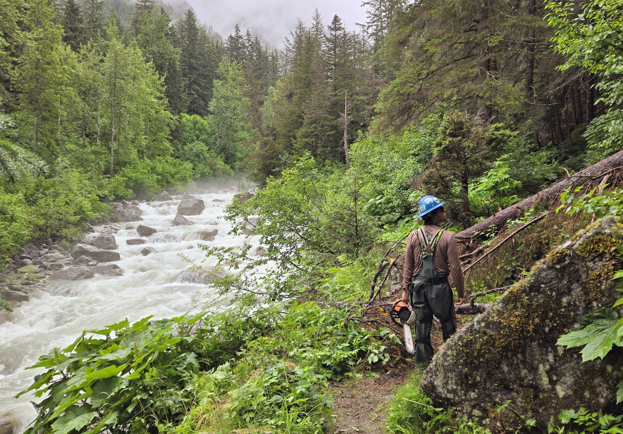
The river that cuts through Skagway, followed by the WP&YR railway and the Klondike Highway up toward White Pass.
On the water
| Season | Jan | Feb | Mar | Apr | May | Jun | Jul | Aug | Sep | Oct | Nov | Dec |
|---|---|---|---|---|---|---|---|---|---|---|---|---|
| King / Chinook | ||||||||||||
| Sockeye / Red | ||||||||||||
| Coho / Silver | ||||||||||||
| Pink / Humpy | ||||||||||||
| Chum / Dog |
Approximate freshwater timing varies by river and year. Pink runs can vary with odd/even years. A run does not mean fishing is open; check current regulations and emergency orders.
A field companion
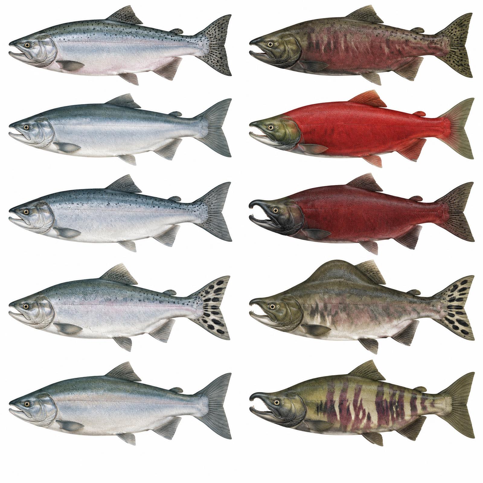
King
Usually 10–20 lb
Red
About 4–8 lb
Silver
Usually 8–12 lb
Humpy
Average 3.5–5 lb
Dog / Keta
About 6–12 lb
Illustrations are interpretive; identify fish by several traits together, not pupil shape alone. Adult sizes vary by stock. Official ADF&G identification chart
Current ADF&G sport-fishing regulations and emergency orders
Explore
Southeast covers Game Management Units 1–5, from the Ketchikan mainland to Yakutat. Most access is by boat, and liveaboard hunts are common.
Seasons and permits change every year. See the ADF&G hunting regulations.
Hunting unit
Mainland from Ketchikan to Haines and Skagway.
Hunting unit
All drainages south of the latitude of Lemesurier Point, including those into Behm Canal and excluding Ernest Sound.
Hunting unit
Baranof, Chichagof and nearby islands: deer and brown-bear country.
Hunting unit
Prince of Wales Island: Sitka black-tailed deer (four bucks), black bear and wolf.
Hunting unit
Islands around Petersburg and Wrangell: Sitka black-tailed deer and black bear.
Hunting unit
Game Management Unit 1C: mainland and islands draining into Stephens Passage and Lynn Canal, including Juneau and Gustavus.
Hunting unit
Gulf coast unit from Cape Fairweather to Icy Bay, with registration hunts for moose, goat and brown bear.
Hunting unit
Game Management Unit 1D: Unit 1 north of Eldred Rock, around Haines and Skagway, excluding Sullivan Island and Berners Bay.
Seasons, permits and land restrictions change. Check current Alaska Department of Fish and Game regulations before planning a hunt.
Explore
Whales, bears and eagles are the big draws.
Bear viewing site
Short boardwalk to a fish pass where salmon draw bears, eagles and sometimes wolves.

Bear viewing site
Permit-only brown bear viewing on Admiralty Island, managed jointly by the Forest Service and ADF&G.
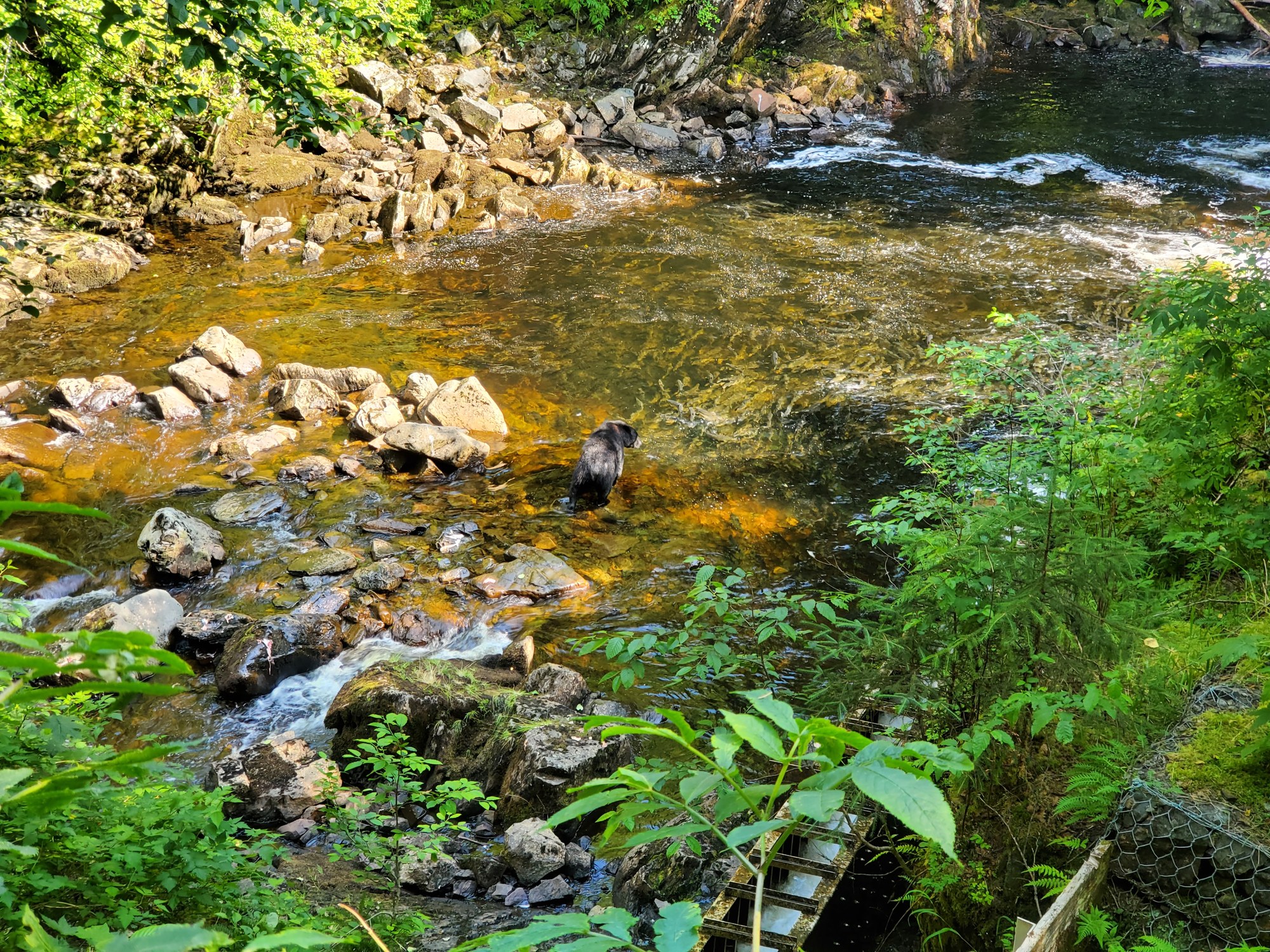
Bear viewing site
Elevated viewing above a fish pass where black bears feed on salmon.

Bear viewing site
Near Hyder; the USFS calls it the only bear-viewing site in Alaska reachable by highway. Bears fish for chum and pink salmon below a platform.
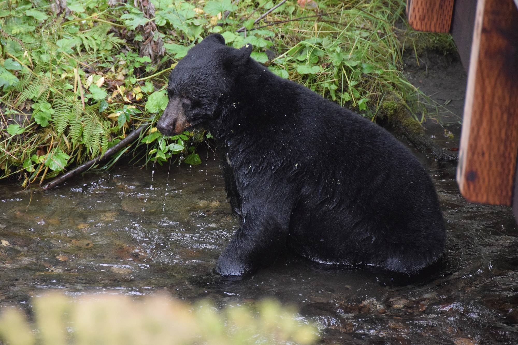
Bear viewing site
Elevated walkways beside the Mendenhall Glacier Visitor Center where black and brown bears fish for salmon.
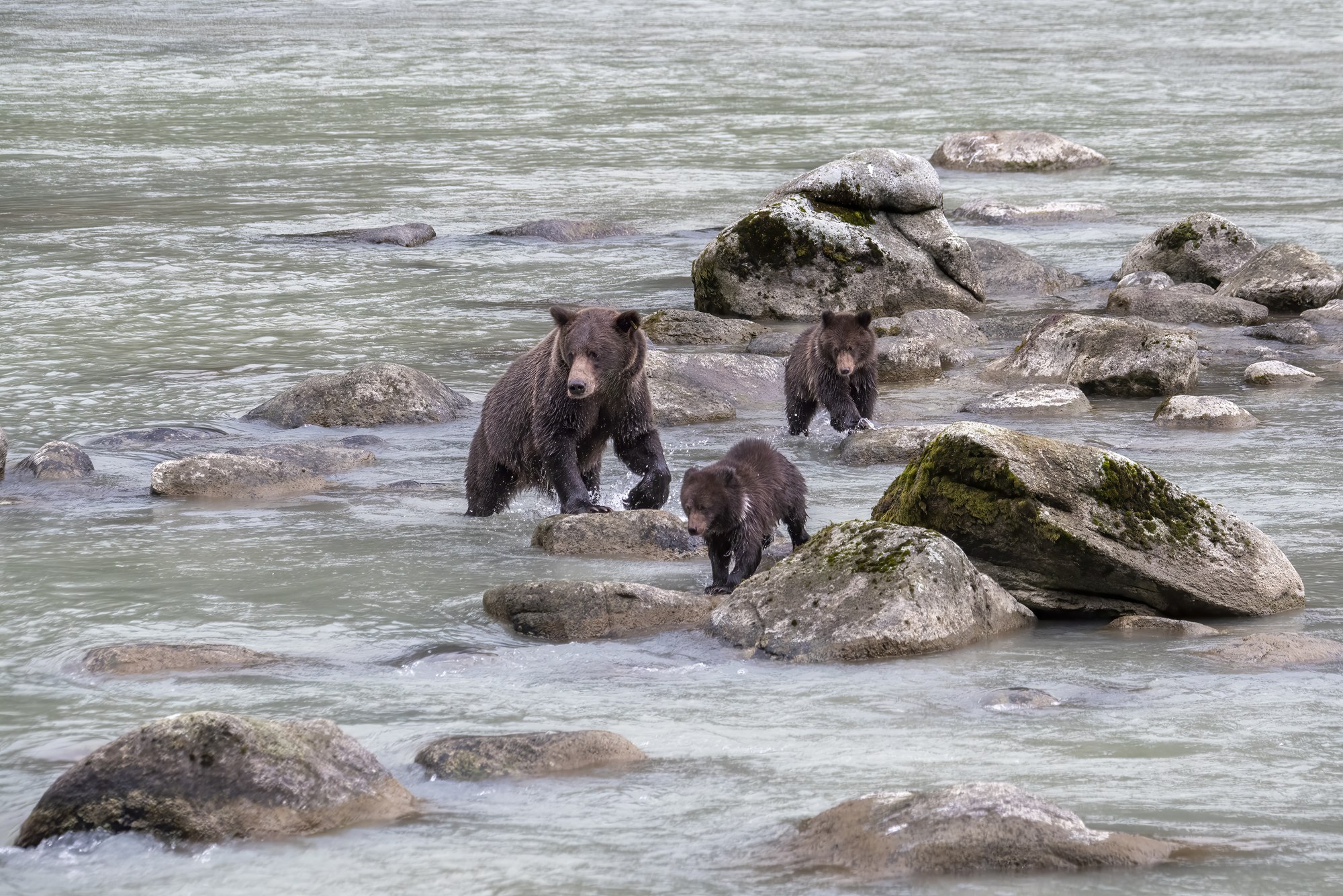
Bear viewing site
Roadside brown bear viewing on the Chilkoot River at the end of Lutak Road, mid-June to October, peaking in July and August.
Bear viewing site
Accessible platform at Ratz Creek rapids where salmon leap in late summer and fall.
Bear viewing site
Covered shelter and decks where black and brown bears fish a major pink salmon run near Wrangell.
Bear country
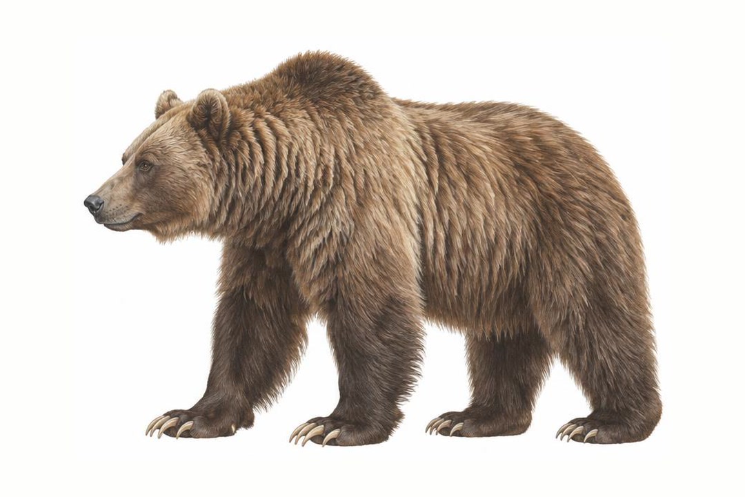
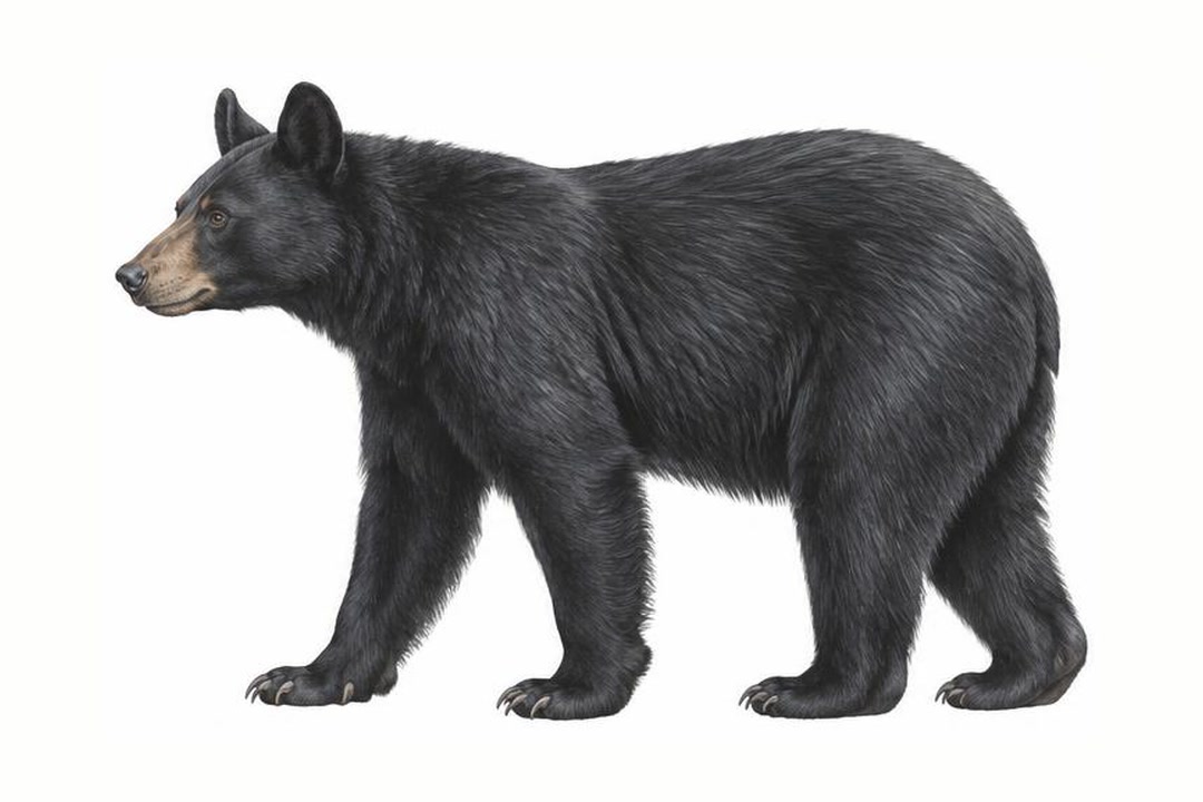
Both species vary in coat color. Never approach a bear to identify it. Stay alert, make noise in dense cover, give bears space, secure food and garbage, and never run. Carry accessible bear spray and know how to use it.
ADF&G bear safety guidanceExplore
Short road systems, with one big exception on Prince of Wales Island.
4WD route
Paved, from road's end past Settlers Cove (~18 mi north) to Silvis Lakes (~13 mi south).

4WD route
Gravel USFS roads in the 8000 series, plus FR 8340.
4WD route
Gravel road out of Hyder that crosses back into BC and climbs to an overlook of Salmon Glacier. Rough, short season.
4WD route
Largest road system in Southeast, many old logging roads, connecting Craig, Klawock, Thorne Bay, Hydaburg and Coffman Cove, plus El Capitan Cave and dozens of trailheads and cabins.

4WD route
Paved highway north from Haines along the Chilkat River and the eagle preserve, 42 miles to the Canadian border and on to Haines Junction.
4WD route
Highway climbing from sea level along the Skagway River about 15 miles to the Canadian border at White Pass.
Explore
Cold water, big tides and wind demand skill and a float plan. The season runs May–September.
Rafting run
Day paddles in the Betton Island area north of town.
Rafting run
Jet boats, canoes and multi-day floats from Telegraph Creek, BC through the Coast Mountains.
Rafting run
About 32 miles of lakes and portages.

Rafting run
Multi-day trips to Rudyerd Bay, Punchbowl Cove and Walker Cove, with drop-offs to skip the Behm Canal crossing.
Rafting run
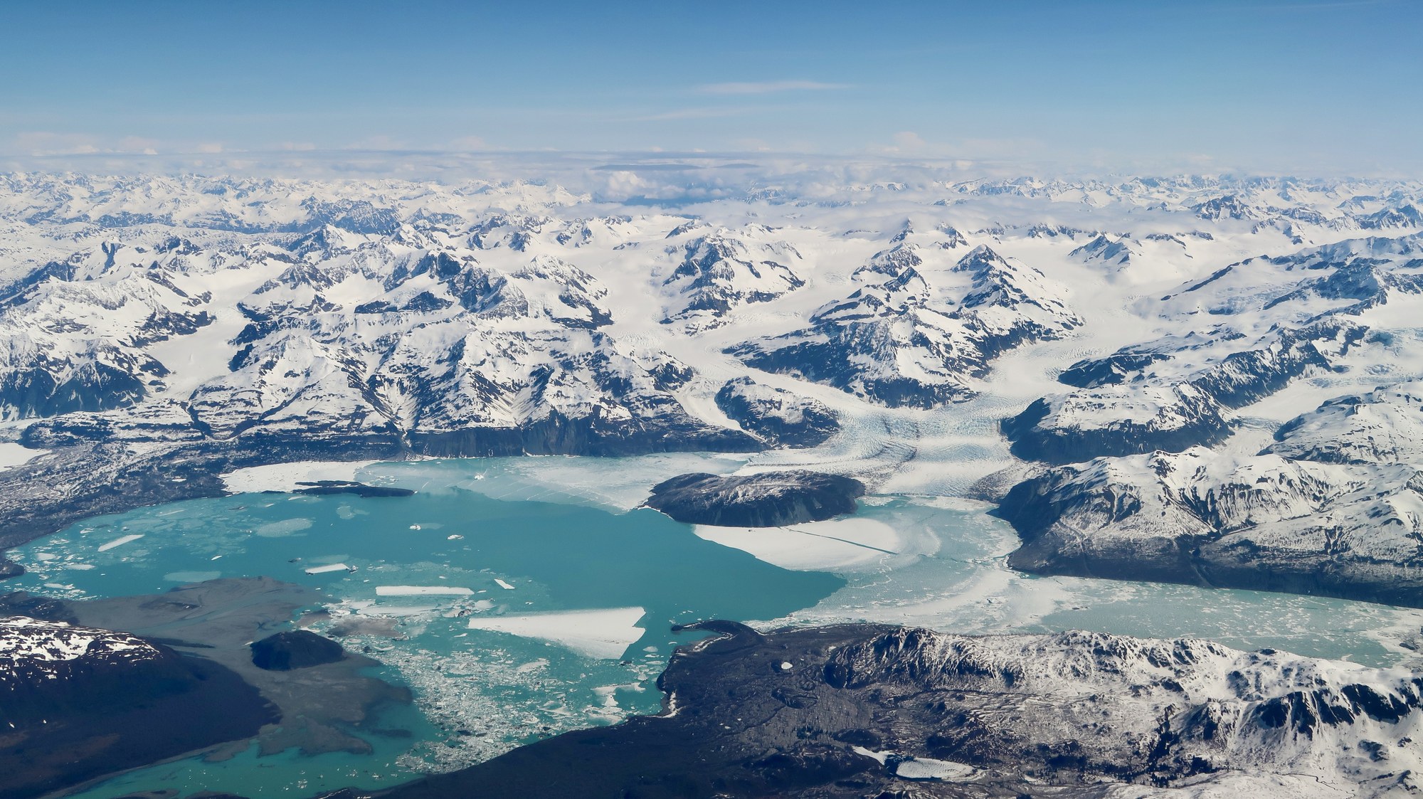
About 140 miles from the Yukon to Dry Bay through the Saint Elias Range. Requires Parks Canada and NPS Glacier Bay permits; permits limited.
Rafting run
Gentle guided raft float through the Alaska Chilkat Bald Eagle Preserve past Klukwan; no whitewater, ages 7 and up.
Explore
Southeast camping ranges from roadside campgrounds to fly-in Forest Service cabins.
Campground
First-come, first-served state campground about 18 mi north, with the Lunch Falls trail.
Campground
Ward Lake area, 6 mi north of Ketchikan. Reserve via Recreation.gov (877-444-6777).
Campground
Three free first-come tent platforms on the beach bluff northwest of the WWII cannons at Cannon Beach.
Campground
35-site state campground in forest above Chilkat Inlet, 7 miles south of Haines on Mud Bay Road; $20 a night, first come.
Campground
First-come state campground in Sitka spruce at the outlet of Chilkoot Lake, 10 miles up Lutak Road; reopened August 11, 2026.

Campground
Free 8-site accessible Forest Service camp area on four overlooks south of Wrangell.

Campground
NPS campground 9 miles from Skagway and half a mile from the Chilkoot trailhead: 22 first-come sites at $10 a night.
Campground
Free two-site camp at the Staney Creek bridge on Forest Road 2050.
Campground
Quiet 14-site USFS campground beside the Harris River on the Hollis–Klawock highway.
Campground
Free two-site lakeside camp near the Salt Chuck mine trail, west of Thorne Bay.
Campground
Free two-site forest camp near Staney Creek on the island's west side.

Campground
Free 10-site Forest Service campground 22 miles south of Petersburg on Mitkof Highway.
Campground
Two fully accessible free overlook campsites on the Nemo-Skip Loop Road.
Campground
Fully accessible single campsite overlooking Zimovia Strait and the Three Sisters peaks.
Campground
Road-end campsite on Eastern Passage with a marine access facility below.
Campground
Two tent platforms on saltwater, reached by a half-mile trail or by boat.
Campground
Small Blue Lake Road campground beside the Beaver Lake trailhead.

Campground
Free walk-in shoreline campground at Glacier Bay park headquarters; orientation required.
Campground
Six first-come tent platforms by the Situk River at Nine Mile Bridge, busiest during the spring steelhead run.

Campground
Forested first-come state campground at the mouth of Eagle River, 27 miles north of Juneau.

Campground
34 primitive sites near the ferry terminal, estuary boardwalk and Mosquito Cove.

Campground
Forest campground above Balls Lake in the center of the island, with a canoe launch and lakeside walk-in sites.

Campground
Small beachside Forest Service campground on a former Auk Tlingit village site north of the ferry terminal.
Campground
Lakeshore Forest Service campground facing Mendenhall Glacier, with RV hookups, showers and walk-in sites.
Campground
Small state campground 27 miles up the Haines Highway on a cutthroat trout lake; five sites and no restrooms.
Campground
Waterfront tent camping a mile from downtown, for backpackers and cyclists only; no overnight parking.
Campground
Private full-hookup RV park on Main Street, walking distance to downtown; open May 1 to September 15.
Campground
Private waterfront RV park on Front Street by the harbor, with full hookups, tent sites and a clubhouse.
Campground
Private wooded campground at 6.5 Mile Lutak Road, 3 miles from the Chilkoot River; seasonal, electric-only RV sites.

Campground
First Chilkoot Trail campground, 4.8 miles from the trailhead, with six tent sites and Irene Glacier views.

Campground
Chilkoot Trail camp at mile 7.7 with 11 sites, a warming cabin and the Canyon City townsite half a mile away.

Campground
Quiet Chilkoot Trail camp at mile 10.7 with 11 sites; the least-used campground on the US side.

Campground
Last US campground before Chilkoot Pass, at mile 13, with 27 tent sites and nightly ranger briefings.
Campground
City-owned waterfront RV park by the ferry terminal and small boat harbor: 34 back-in sites with 30-amp power and water.
Campground
City-owned RV park on State Street with 30 pull-through sites (30-amp electric), showers and a laundromat.
Campground
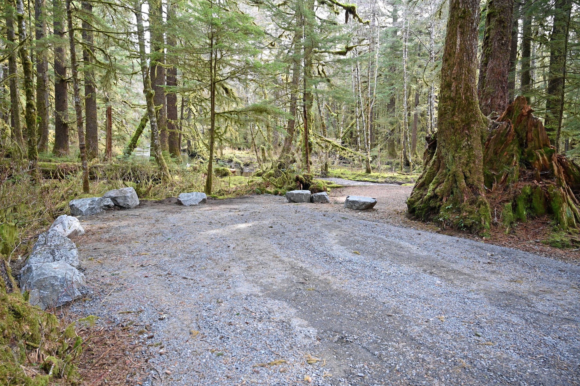
Ward Lake area, 6 mi north of Ketchikan. Reserve via Recreation.gov (877-444-6777).
Public-use cabin
Fly-in hunter cabin at the head of Anan Lake with a skiff.
Public-use cabin
A-frame cabin overlooking Berg Bay and Blake Channel.
Public-use cabin
Fully accessible large-group cabin on Zarembo Island, year-round by boat or floatplane.
Public-use cabin
Remote A-frame on Eagle Lake, 44 miles southeast of Wrangell by floatplane.
Public-use cabin
Kruzof Island shoreline cabin near the Mount Edgecumbe trailhead.
Public-use cabin
Remote A-frame on the exposed west coast of Kruzof Island.
Public-use cabin
Oil-heated cabin in Rodman Bay off Peril Strait.
Public-use cabin
Misty Fiords public-use cabin, reached by floatplane or boat.
Public-use cabin
Misty Fiords public-use cabin, reached by floatplane or boat.
Public-use cabin
Misty Fiords public-use cabin, reached by floatplane or boat.
Public-use cabin
Misty Fiords public-use cabin, reached by floatplane or boat.
Public-use cabin
Misty Fiords public-use cabin, reached by floatplane or boat.
Public-use cabin
Misty Fiords public-use cabin, reached by floatplane or boat.
Public-use cabin
Misty Fiords public-use cabin, reached by floatplane or boat.
Public-use cabin
Misty Fiords public-use cabin, reached by floatplane or boat.
Public-use cabin
Misty Fiords public-use cabin, reached by floatplane or boat.
Public-use cabin
Misty Fiords public-use cabin, reached by floatplane or boat.
Public-use cabin
Misty Fiords public-use cabin, reached by floatplane or boat.
Public-use cabin
Misty Fiords public-use cabin, reached by floatplane or boat.
Public-use cabin
Cabin in Grindall Island State Marine Park.
Public-use cabin
Hunter cabin at the mouth of Kah Sheets Creek, south Kupreanof.
Public-use cabin
Wood-heated lake cabin on the east side of Baranof Island.
Public-use cabin
Small wood-heated cabin in Crab Bay on eastern Kruzof Island.
Public-use cabin
Large log cabin a short boat trip south of Sitka.
Public-use cabin
Saltwater cabin south of Sitka with a sleeping loft and deck.
Public-use cabin
West Kruzof A-frame reached across the island from Mud Bay.
Public-use cabin
Lake cabin above Silver Bay with a skiff and boat-plus-hike access.
Public-use cabin
Road-access lake cabin a short row from the Control Lake junction.
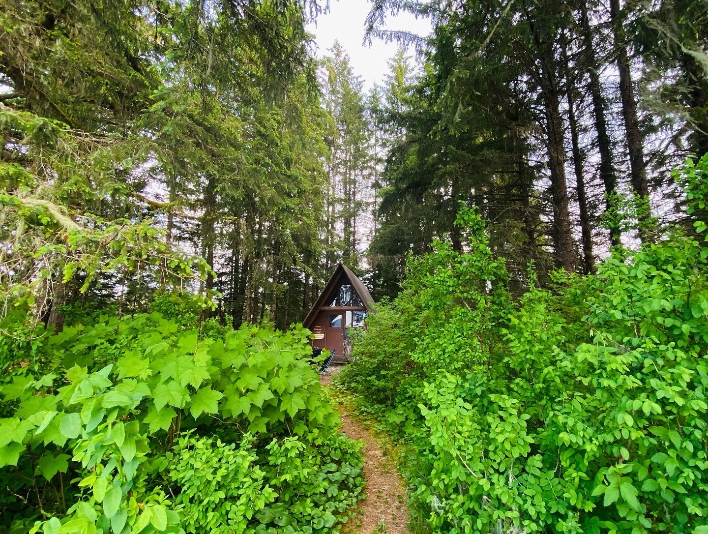
Public-use cabin
Oil-heat cabin on Duncan Canal near the Castle Islands.
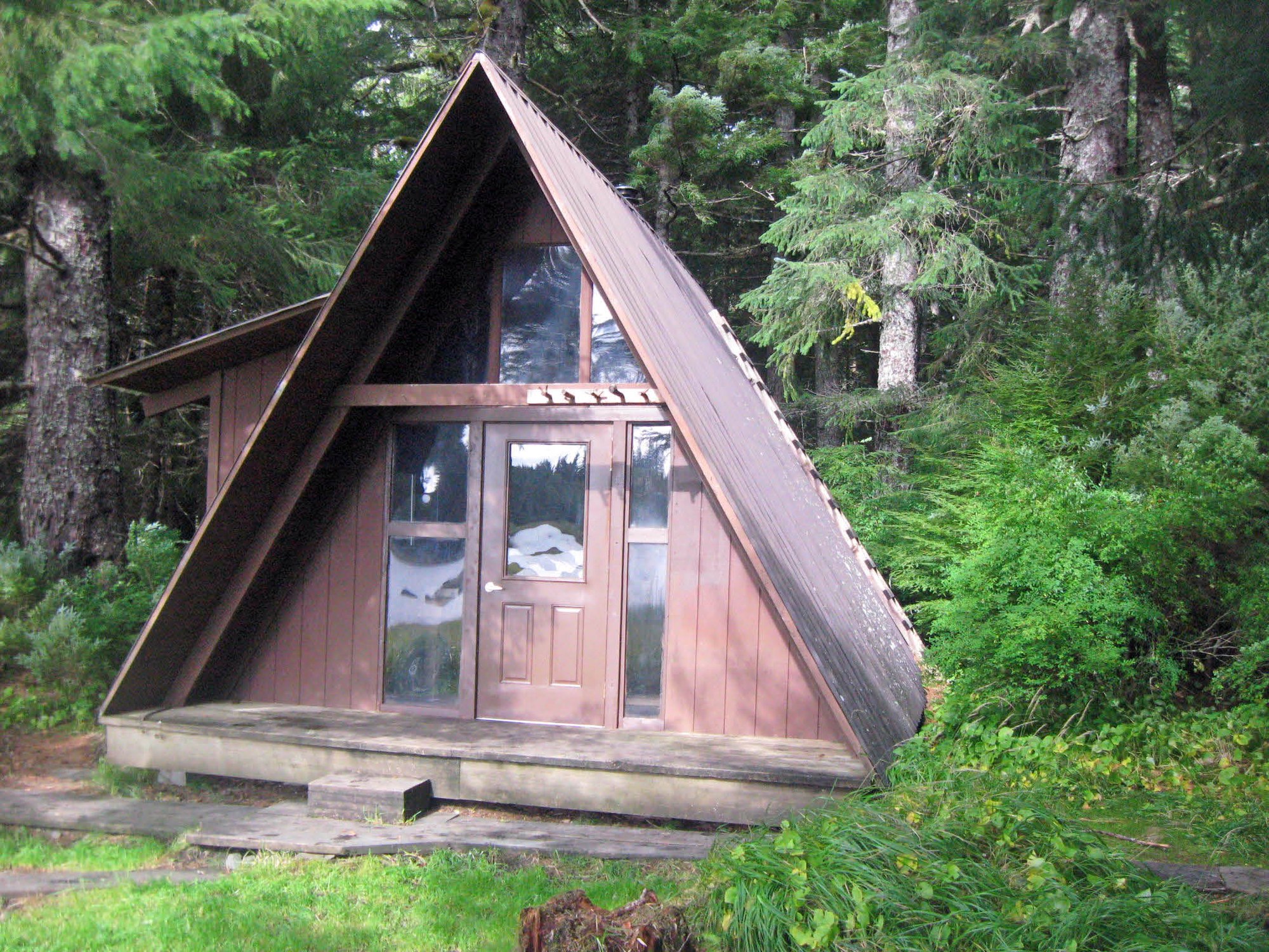
Public-use cabin
A-frame with loft and rowboat on Duncan Canal Salt Chuck.
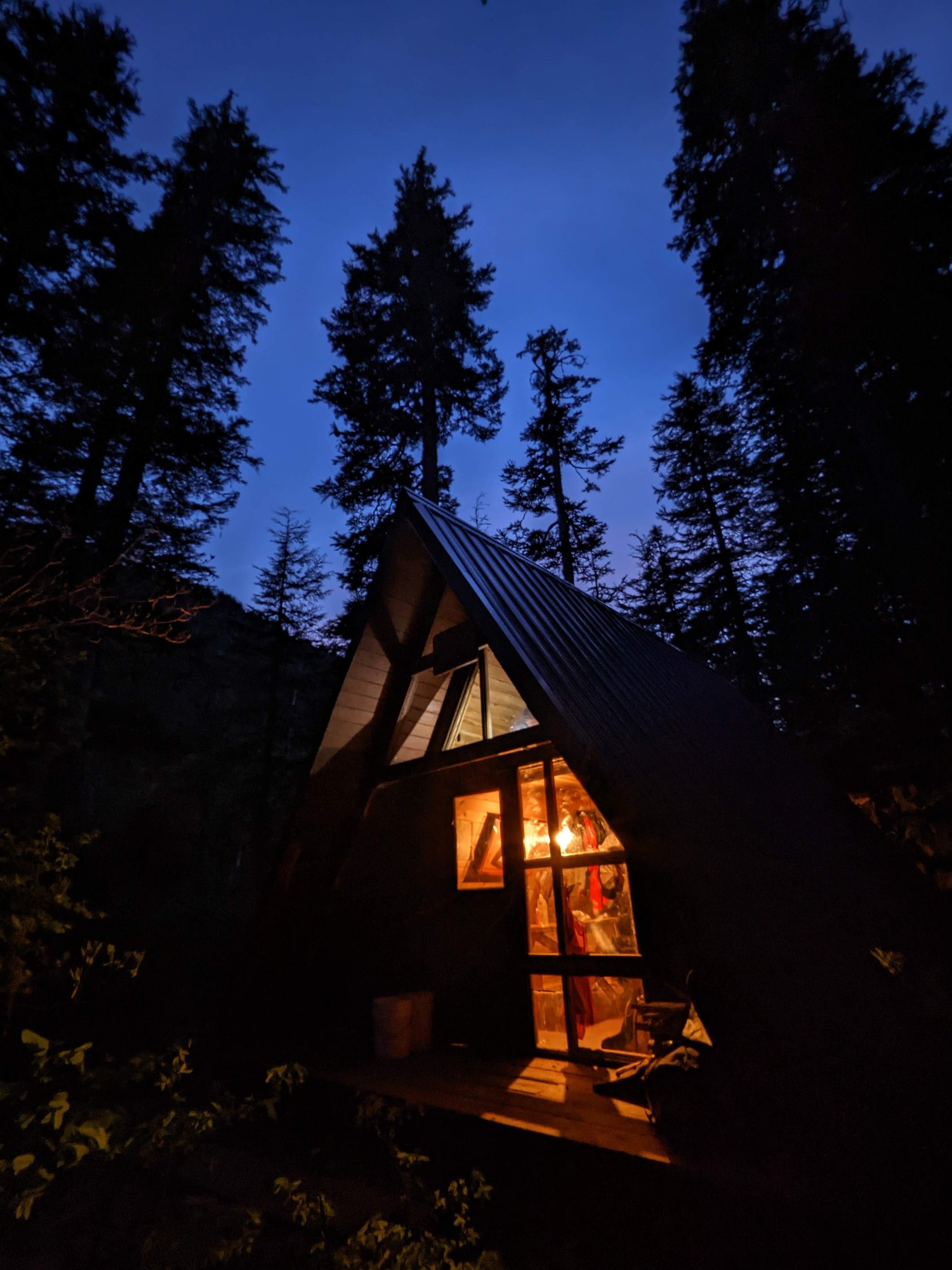
Public-use cabin
Fly-in A-frame in South Baranof Wilderness with a skiff.
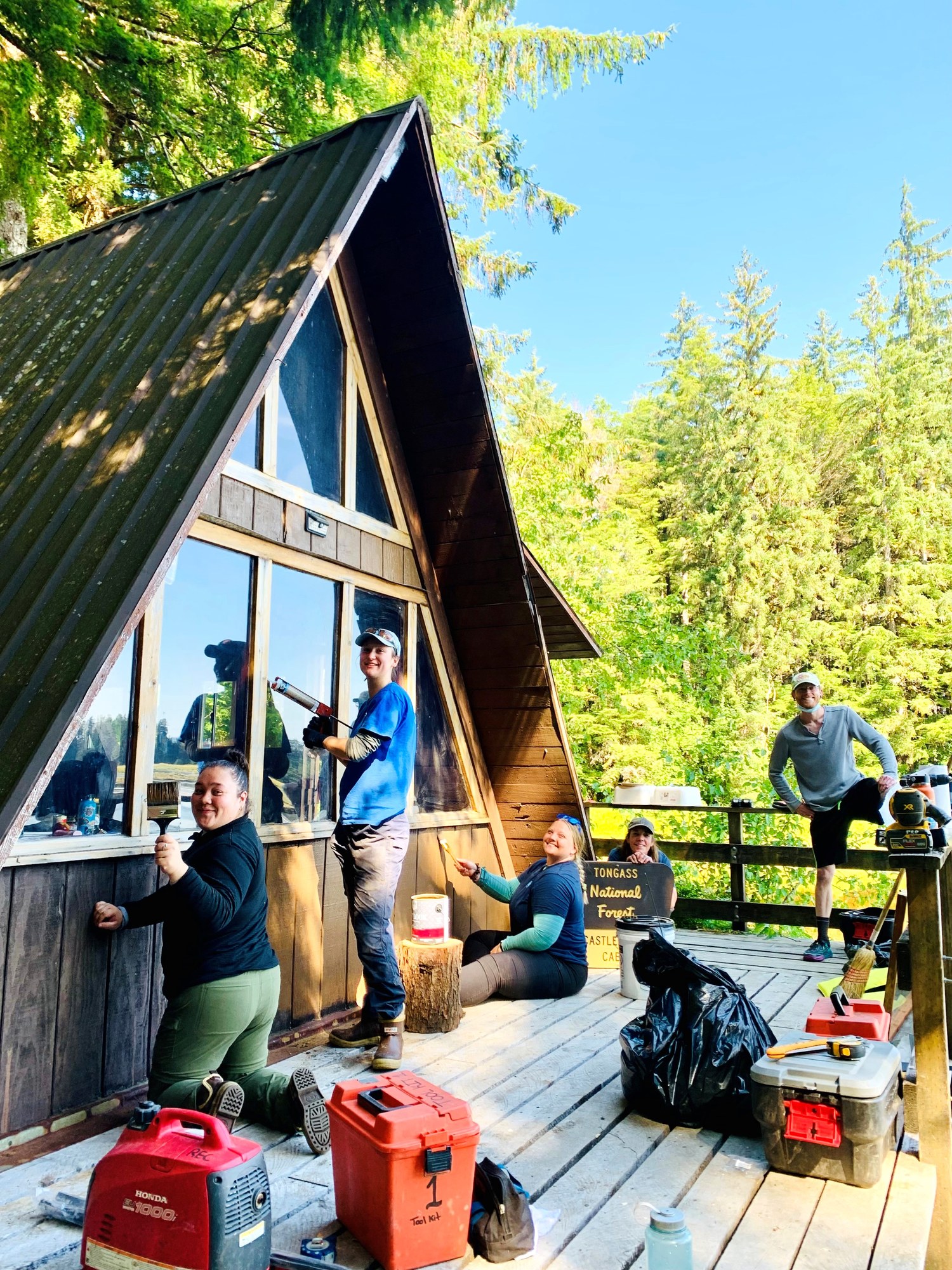
Public-use cabin
Modified A-frame at the mouth of Castle River on Duncan Canal.
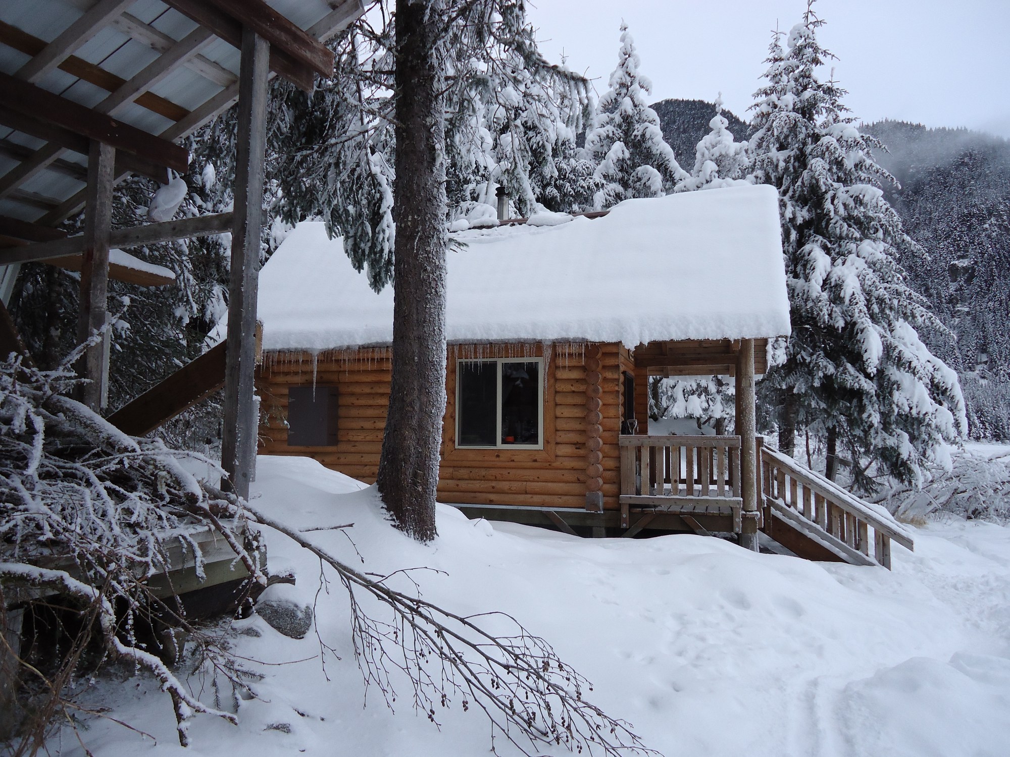
Public-use cabin
Log chalet on Eagle Lake facing Eagle Glacier, 5.5 miles up the Amalga Trail.
Public-use cabin
Pan-abode cabin on Petersburg Lake with a rowboat, inside wilderness.
Public-use cabin
Cedar cabin on a saltwater lagoon with crabbing and some of the island's best silver salmon fishing.
Public-use cabin
Fly-in lake cabin below Patricia Peak, reachable only by floatplane.
Public-use cabin
Small cabin on the Honker Divide canoe route, by floatplane or a 6-mile paddle.
Public-use cabin
High fly-in cabin at about 1,800 feet on the island's south end; no fish in the lake.
Public-use cabin
Lake cabin in the Karta River country, 1.5 miles by trail from Karta Bay or by floatplane.
Public-use cabin
Hunter cabin in Frosty Bay off Seward Passage south of Wrangell.
Public-use cabin
Hunter cabin on Woewodski Island at Beecher Pass, near Petersburg.
Public-use cabin
Oil-heat cabin on Rocky Pass, west side of Kupreanof Island.
Public-use cabin
Cabin on Castle River mud flats with a rowboat, Duncan Canal.
Public-use cabin
Alpine cabin above Petersburg Airport at the top of the Raven Trail.
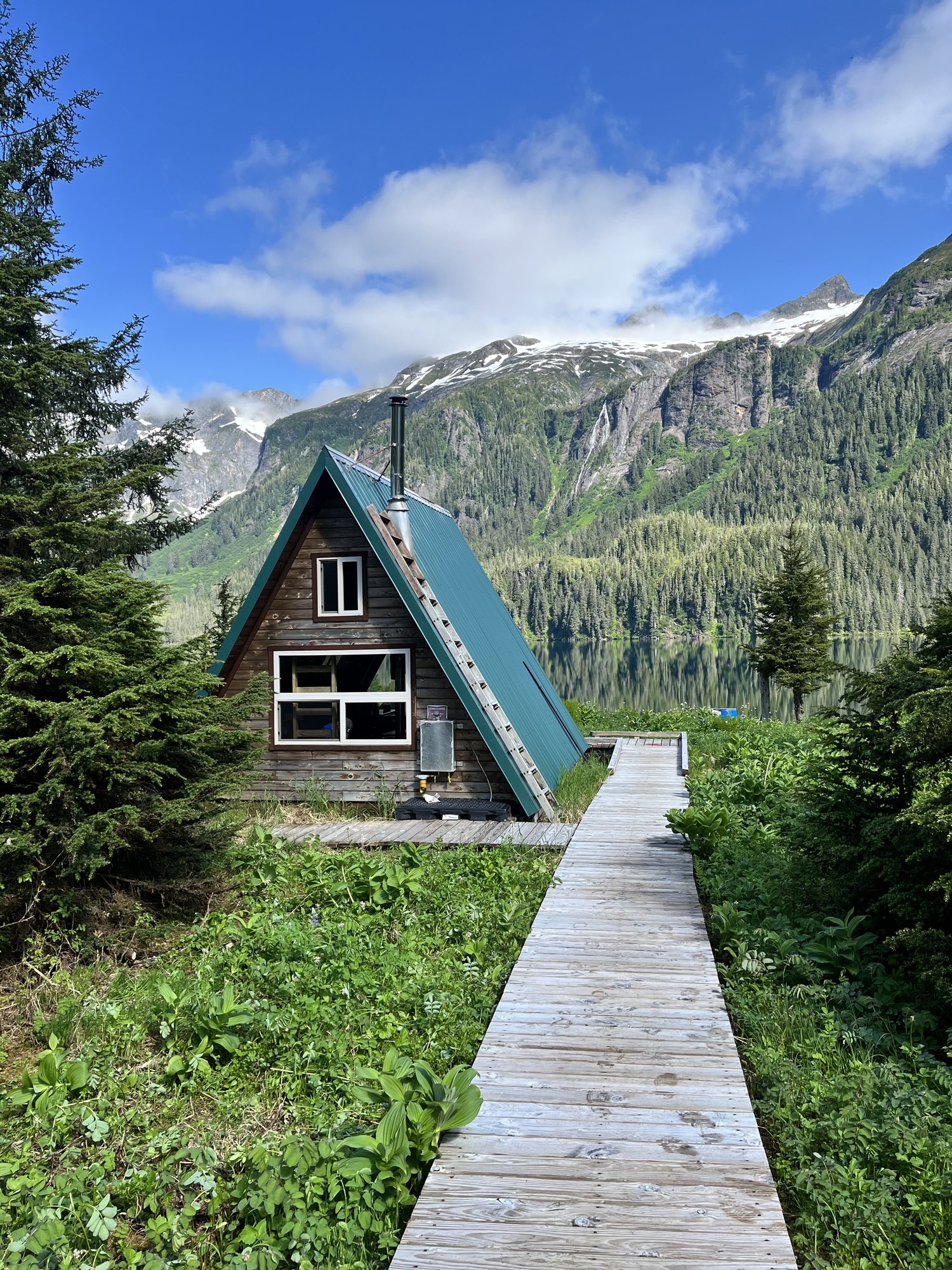
Public-use cabin
Alpine lake cabin at 1,514 feet east of Thomas Bay, floatplane or ski access.
Public-use cabin
Cedar cabin at Karta Bay, at the start of the Karta River Trail.
Public-use cabin
Saltwater cabin in Moira Sound on the southeast coast.
Public-use cabin
Lake-outlet cabin a half mile by trail from Kegan Cove.
Public-use cabin
Remote saltwater cabin on San Fernando Island west of Craig.
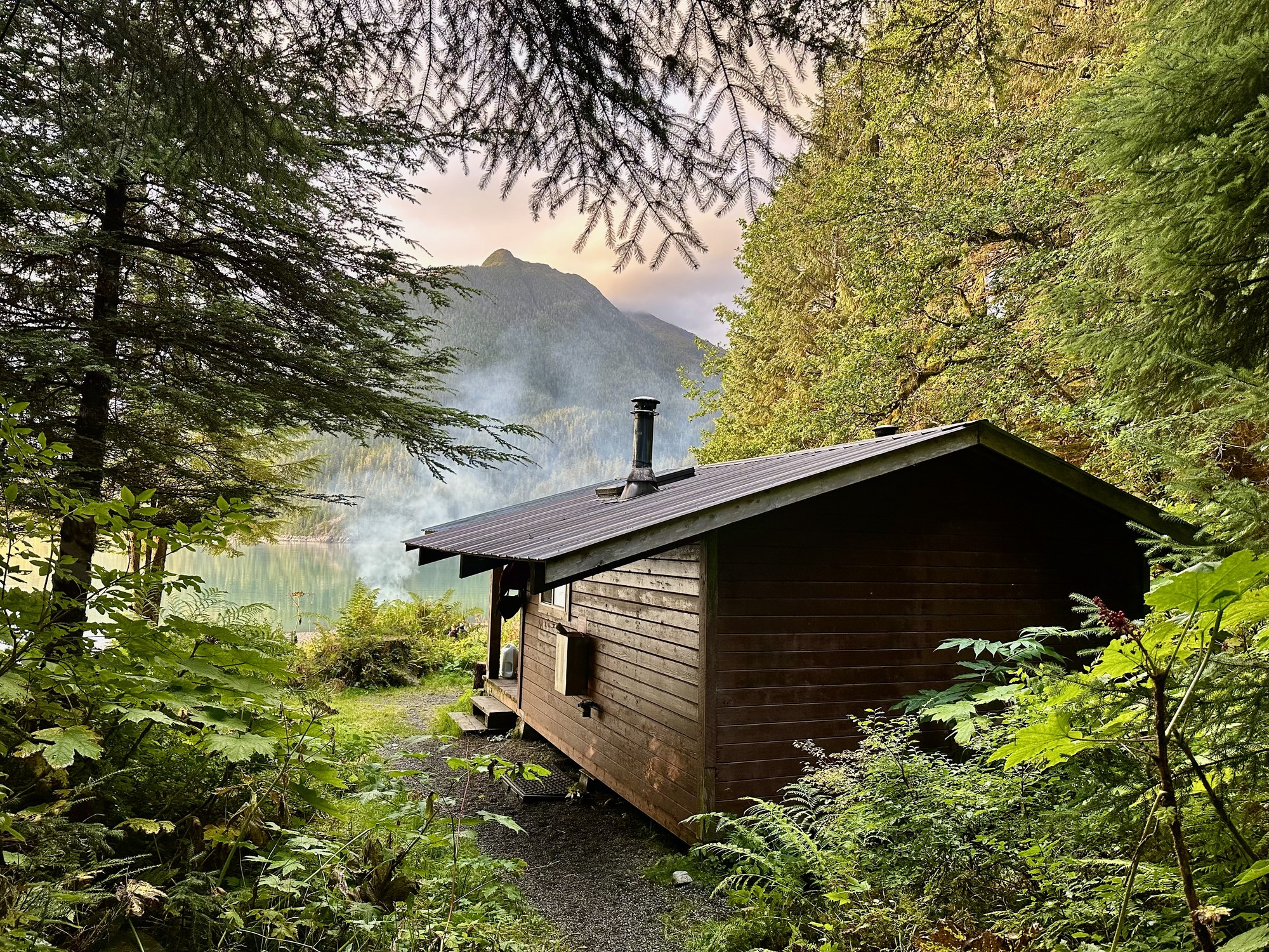
Public-use cabin
Cabin at the mouth of Cascade Creek in Thomas Bay, with wood and oil heat.
Public-use cabin
Three-bedroom road-access cabin near Polk Inlet, open year-round when the road is passable.
Public-use cabin
North-end lake cabin that sleeps 8, by short hike and row or floatplane.
Public-use cabin
North-end lake cabin with a rowboat.
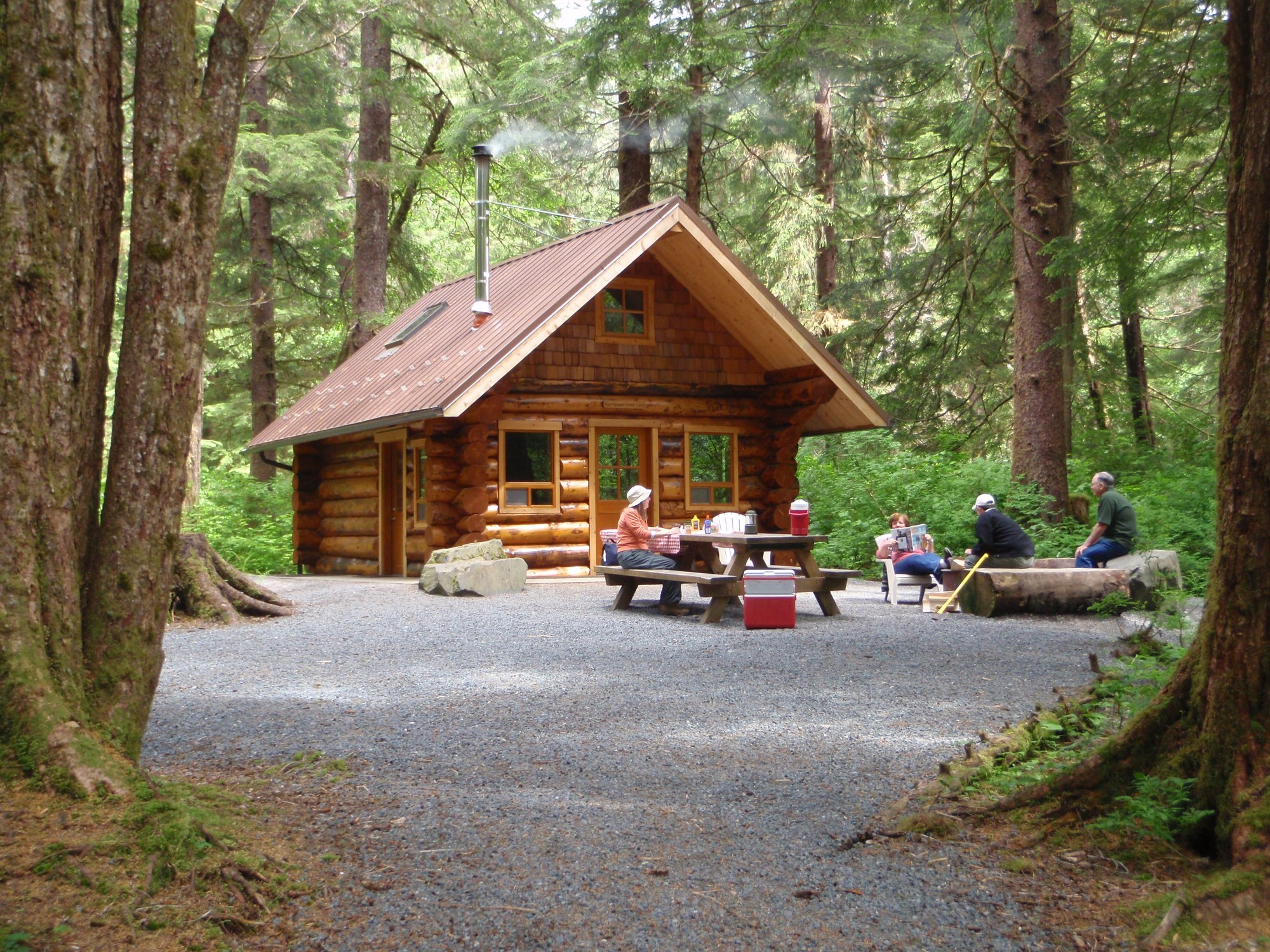
Public-use cabin
Drive-up log cabin in Starrigavan Recreation Area, seven miles north of Sitka.
Public-use cabin
Kosciusko Island cabin facing 2,592-foot Mount Francis, an hour by boat from El Capitan.
Public-use cabin
Easy-access cabin a half mile by boardwalk from Forest Road 2054, near Staney Creek's salmon and steelhead.
Public-use cabin
Lake cabin 10 road miles from Coffman Cove, then a short hike and skiff ride.
Public-use cabin
Small saltwater cabin with a mooring buoy, for boaters.
Public-use cabin
Fully accessible road cabin off the Hydaburg road.
Public-use cabin
Two-story saltwater cabin on Halleck Island in upper Nakwasina Sound.
Public-use cabin
Fly-in A-frame on south-central Baranof Island with a skiff.
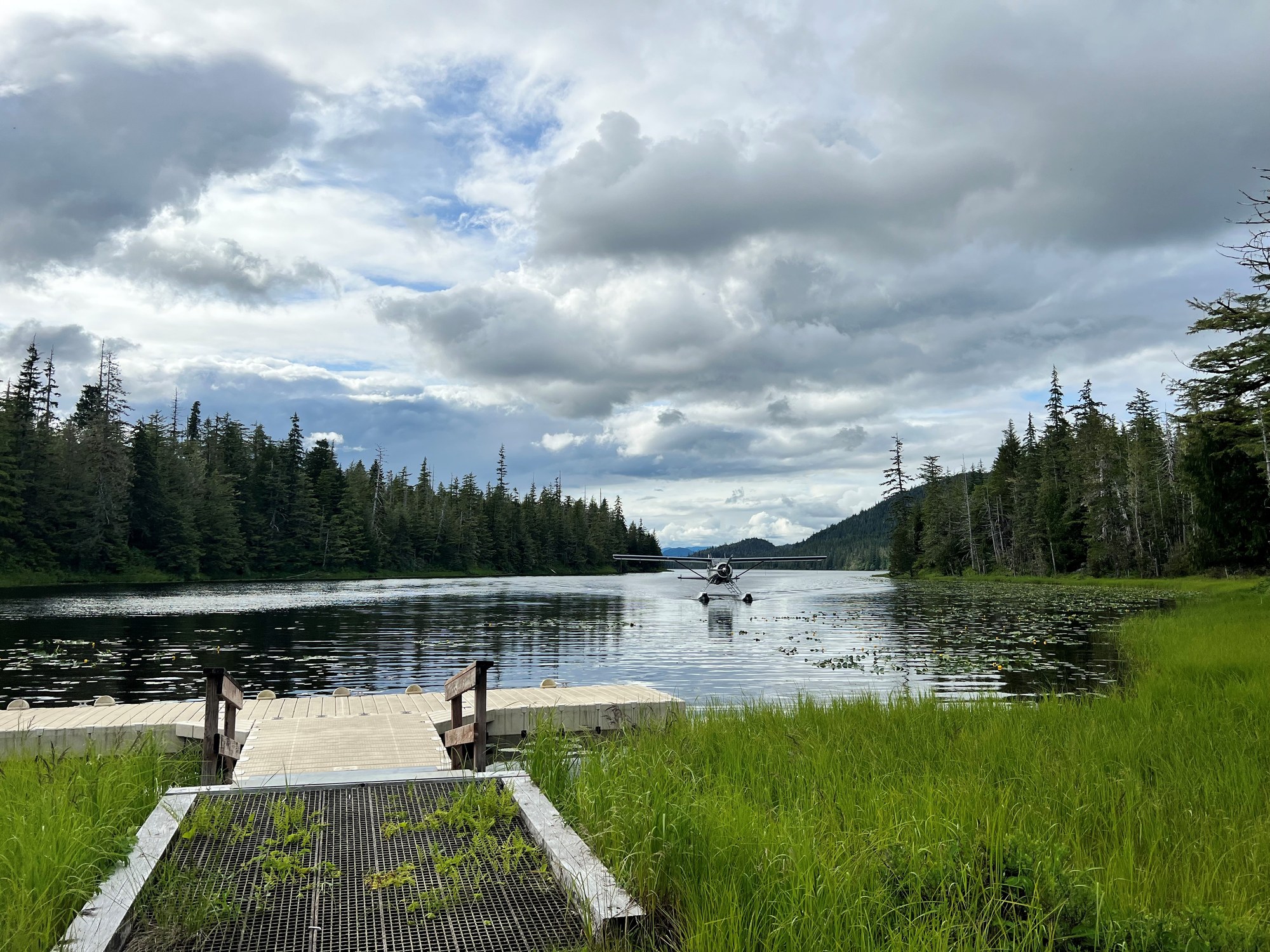
Public-use cabin
Barrier-free lake cabin above Kah Sheets Bay with dock and skiff.
Public-use cabin
Red-cedar cabin by the public dock in Taku Harbor State Marine Park.
Public-use cabin
Russell Fiord Wilderness cabin on the east shore of Situk Lake, reached by a 3.1-mile trail or floatplane.
Public-use cabin
One of two Middle Situk cabins beside an airstrip, about 3 river miles below Nine Mile Bridge.
Public-use cabin
The second Middle Situk cabin on the Situk River, next to Eagle Cabin and the Situk airstrip.
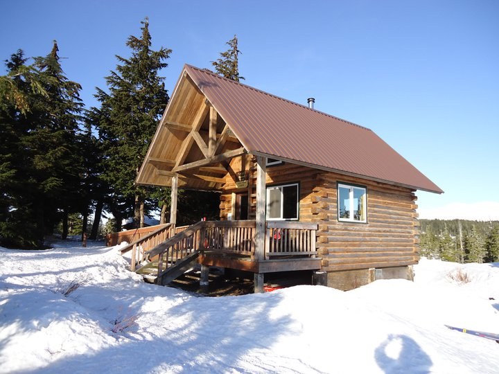
Public-use cabin
Chalet-style ridge cabin above Auke Bay, reached by a 3-mile climbing trail.

Public-use cabin
Two-level Douglas Island cabin in an alpine bowl, 3 miles up the Dan Moller Trail.

Public-use cabin
Accessible lake cabin on the Windfall Lake Trail with a dock and boardwalk.

Public-use cabin
Accessible lakeside cabin at the end of the Peterson Lake Trail, also reachable by floatplane.
Public-use cabin
Saltwater beach cabin on Berners Bay, reached by boat or floatplane from Echo Cove.
Public-use cabin
Wheelchair-accessible beach cabin with a view of Taku Glacier.

Public-use cabin
Fly-in lake cabin with two rowboats, 40 minutes by floatplane from Juneau.
Public-use cabin
Stone-and-log chalet on Turner Lake with a fireplace and two rowboats.
Public-use cabin
Year-round cabin in Mendenhall Lake Campground, in view of the glacier.
Public-use cabin
Wilderness beach cabin on north Admiralty Island, 15 minutes by floatplane from Juneau.
Public-use cabin
Fly-in lake cabin on north Admiralty Island with a skiff; trout and coho fishing.
Public-use cabin
Floatplane-access cabin at the south end of Young Lake with a skiff.
Public-use cabin
Canoe-route cabin on Lake Alexander in central Admiralty Island.
Public-use cabin
Accessible saltwater cabin on Port Frederick, a short hop from Hoonah.
Public-use cabin
Road-accessible cedar cabin on Freshwater Bay, 27 gravel miles from Hoonah.
Public-use cabin
State park cabin beside the Eagle Beach parking lot, 28 miles north of Juneau.
Public-use cabin
Accessible Eagle Beach cabin a quarter mile along the campground road.
Public-use cabin
Small Eagle Beach cabin on the campground back loop.
Public-use cabin
Point Bridget State Park cabin 2.5 miles from the mile 39 trailhead.
Public-use cabin
Point Bridget beach cabin 3.4 miles from the trailhead.
Public-use cabin
Point Bridget cabin 3.75 miles from the trailhead.
Public-use cabin
State marine park cabin at the head of Seymour Canal, reached via the Oliver Inlet tram.
Public-use cabin
National Park Service cabin 20 miles across Yakutat Bay on the Malaspina Forelands; wheeled-plane beach landing.
Public-use cabin
National Park Service cabin on the East Alsek River in Glacier Bay National Preserve near Dry Bay.

Public-use cabin
A-frame on the coast about 30 miles southeast of Yakutat, popular for coho fishing; fly in by air taxi.
Public-use cabin
12 x 16 ft hunter-style cabin on a bluff above the braided Dangerous River, with a meat shed.
Public-use cabin
Fly-in cabin beside an airstrip below the Brabazon Range, 2 miles from iceberg-filled Tanis Lake.
Public-use cabin
The district's southernmost cabin, by an airstrip north of the Alsek River; mainly a fall moose-hunting base.
Public-use cabin
Lake cabin on the Sarkar Canoe Route, with skiffs provided.
Public-use cabin
Cedar cabin at Anan Bay; cabin reservation holds four Anan Observatory permits.
Public-use cabin
Volunteer-built two-story hut at about 3,200 ft on Tukgahgo Mountain, 2.3 steep miles from the 7-Mile Saddle trailhead.
Public-use cabin
Forest Service cabin sleeping six below Laughton Glacier, reached by the WP&YR train to mile 14 and a 1.5-mile trail.
Public-use cabin
Retired WP&YR caboose turned Forest Service cabin, 5.5 miles north of Skagway beside the railway; sleeps six.
Public-use cabin
City of Skagway rental cabin at Upper Dewey Lake, a steep 3,100-foot climb above town; sleeps six.
Shelter / lean-to
CCC-era three-sided shelter on Seymour Canal, Admiralty Island.
Shelter / lean-to
First-come shelter on the Deer Mountain Trail.
Shelter / lean-to
One of five three-sided shelters in Misty Fiords.
Shelter / lean-to
Three-sided alpine shelter at the top of the One Duck Trail, first-come, first-served.
Shelter / lean-to
Free three-sided shelter on the Blind River Rapids Trail overlooking Blind Slough.
Shelter / lean-to
Free three-sided shelter on Shelter Lake along the Three Lakes Trail.
Shelter / lean-to
Alpine trail shelter between the two Sitka mountain trailheads.
Shelter / lean-to
First-come emergency shelter on Icy Strait at the north tip of Chichagof Island.
Shelter / lean-to
Free two-room A-frame on the airstrip at the end of Dangerous River Road, about a mile from Harlequin Lake.
Explore
Beyond the trail and the river.
Operator
Yakutat air taxi flying two DeHavilland Beavers to rivers, beaches, lodges and backcountry strips.
Operator
Misty Fiords floatplane flightseeing from Harbor Point, 4085 Tongass Ave.
Operator
Misty Fiords floatplane trips of about 2.5 h with a water landing.
Operator
Ketchikan floatplane operator listed for Misty Fiords flights.
Operator
Daily ferry between Ketchikan and Hollis on Prince of Wales Island, about 3 h.
Operator
Klawock-based airline with daily wheel-plane flights between Ketchikan and Prince of Wales Island.
Operator
State ferry system linking Wrangell, Petersburg and the rest of the Inside Passage.
Operator
Mainline airline with scheduled jet service to Wrangell and Petersburg.
Operator
Juneau-based scheduled commuter, charter and cargo airline serving Southeast Alaska towns and villages.
Operator
Ocean fishing charters, Hubbard Glacier tours, lodging and skiff and drift-boat rentals.
Operator
Juneau-based floatplane and wheel charter service for cabins, Admiralty Island and Glacier Bay flightseeing.
Operator
Aerial tram from the downtown cruise dock 1,800 feet up Mount Roberts; temporarily closed for maintenance in 2026.
Operator
Saltwater charters for halibut, lingcod, rockfish and salmon, plus Hubbard Glacier tours on the Sea Hunter.
Operator
Locally owned RV park on Main Street, run by George and Laura Hoffman for about 40 years.
Operator
Waterfront RV park business on Front Street beside the Haines harbor.
Operator
Seasonal campground business at 6.5 Mile Lutak Road with RV sites, tent sites and cabins.
Operator
Passenger-only fast ferry between Haines and Skagway, about 45 minutes, normally May 1 to September 30.
Operator
Summer day-cruise ferry from Haines and Skagway to Juneau with whale watching on every round trip.
Operator
Haines river outfitter since 1978: Chilkat Bald Eagle Preserve floats plus Tatshenshini and Alsek expeditions.
Operator
Haines and Skagway flightseeing in a DHC-2 Beaver, specializing in Glacier Bay tours, charters and mountain support.
Operator
Year-round Haines flying service offering Glacier Bay flightseeing and charters, including rafter pickups at Dry Bay.
Operator
Helicopter glacier landings and a Denver Glacier sled dog camp tour from Skagway.
Operator
City-owned operator of the Pullen Creek and Garden City RV parks, managed under contract.
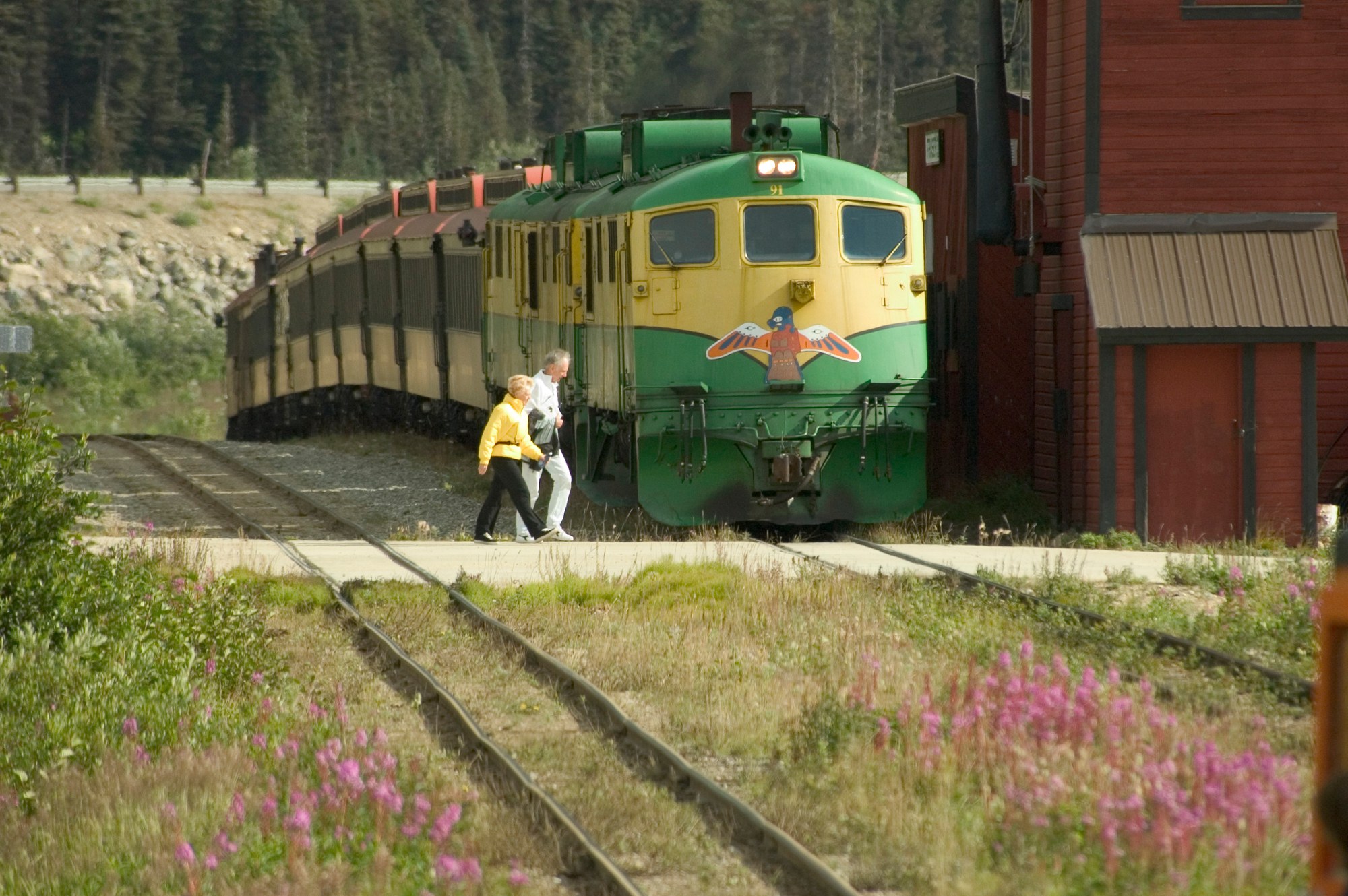
Operator
Narrow-gauge railway built 1898 to 1900 from Skagway over White Pass; summit excursions plus hiker drop-offs at Denver and Laughton.
Lodge
A historic salmon cannery turned full-service fishing resort on 52 acres of Prince of Wales Island, reached only by air or sea. Guests fish for king and silver salmon, halibut, lingcod and more than 20 other species.
Lodge
A high-end private fishing club on remote Noyes Island off Prince of Wales Island, about 40 minutes by floatplane from Ketchikan. It is known for king and coho salmon, halibut, lingcod and rockfish, and whales are often seen in the bay.
Lodge
A chalet-style, full-service fishing lodge in remote Sea Otter Sound on the north end of Prince of Wales Island. Guests target trophy king and silver salmon, halibut and rockfish.
Lodge
An all-inclusive freshwater and saltwater fishing lodge at Cook's Cove in Thorne Bay on eastern Prince of Wales Island. Guests fish for all five Pacific salmon species, steelhead, halibut and black cod.
Lodge
A Hawaiian-owned fishing lodge on Shelter Island, a 20-minute boat ride from Auke Bay in Juneau. Guests fish for five salmon species, halibut, rockfish and black cod, and humpback whales are often seen nearby.
Lodge
A fly-fishing and wilderness lodge on remote Warm Springs Bay on the east side of Baranof Island, near natural hot springs. It offers saltwater and freshwater fishing, plus brown bears and humpback whales.
Lodge
An all-inclusive fly-in lodge in a secluded bay at the southern edge of Admiralty Island National Monument. It combines guided salmon and halibut fishing with whale watching and brown bear viewing.
Lodge
The only lodging inside Glacier Bay National Park, set in the spruce forest at Bartlett Cove near Gustavus. It is a base for full-day glacier cruises, ranger programs, kayaking and wildlife viewing.
Lodge
A log lodge in Gustavus with 14 rooms and all meals included, backed by Glacier Bay National Park. Guests come for whale watching, Glacier Bay tours, wildlife viewing and sport fishing.
Lodge
A family-run, all-inclusive fly-in fishing lodge overlooking Yes Bay, about 50 miles north of Ketchikan in the Tongass National Forest, open since 1977. Guests fish salt and fresh water for salmon, halibut, lingcod and rockfish.
Lodge
An off-grid, family-owned wilderness lodge founded in 1947 on Thayer Lake in the interior of Admiralty Island, which the Tlingit call the 'Fortress of the Bears.' It offers rainforest solitude, canoeing, stream fishing and brown bear habitat.
Lodge
A floatplane-access, multi-boat fishing lodge in the boardwalk village of Elfin Cove on northern Chichagof Island, at the mouth of Cross Sound. Guests target halibut, king and silver salmon and rockfish.
Lodge
A full-service fishing lodge in remote Yakutat that pairs guided Situk River trips for steelhead and salmon with ocean charters for halibut and lingcod in Yakutat Bay. Rooms range from an airport hotel to waterfront cabins and a private Big House.
Lodge
An all-inclusive saltwater fishing lodge on Prince of Wales Island near Ketchikan, reached by floatplane. Guests fish for salmon, halibut and cod, and the lodge also hosts corporate retreats.
Lodge
A lodge owned by the Anderson family since 1990, overlooking the Klawock estuary on the west coast of Prince of Wales Island. Guests fish for king and coho salmon, halibut, lingcod and steelhead.
Lodge
A family-run, cabin-style fishing resort midway down the sheltered Wrangell Narrows near Petersburg. Guests fish for coho and king salmon and halibut on self-guided or guided trips.
Through the year
| Season | Jan | Feb | Mar | Apr | May | Jun | Jul | Aug | Sep | Oct | Nov | Dec |
|---|---|---|---|---|---|---|---|---|---|---|---|---|
| Wildlife viewing | ||||||||||||
| Fishing | ||||||||||||
| Hiking | ||||||||||||
| Northern lights | ||||||||||||
| Midnight sun | ||||||||||||
| Winter sports |
Peak and shoulder planning windows; weather and conditions vary. Aurora requires darkness and clear skies. Southern Alaska has long summer days, not a true 24-hour midnight sun.
Explore
There are no roads between most Southeast towns. You arrive by jet, ferry or cruise ship and get around by floatplane and boat.
Fog often grounds floatplanes, so build in a buffer day before any connecting flight. Big cruise-ship days crowd the ports.
Airport
Sitka's airport with daily Alaska Airlines jet service.
Airport
Paved public airport one mile northeast of Wrangell (FAA WRG / PAWG).

Airport
State airport about 3 miles southeast of town with daily Alaska Airlines jets to Juneau and Anchorage.
Airport
Ketchikan's jet airport on Gravina Island, reached from town by the borough airport ferry across Tongass Narrows.

Airport
The island's only paved runway, with daily scheduled flights to Ketchikan.
Airport
Gateway airport for Glacier Bay, with seasonal jet service from Juneau and year-round small-plane flights.
Airport
Small state airport a mile from Hoonah, with several daily Alaska Seaplanes flights to Juneau.
Airport
Paved public airport serving Petersburg (FAA PSG).
Airport
Southeast Alaska’s main hub, 7 miles northwest of downtown, with jet, commuter and floatplane service.
Airport
State airport at the edge of town with a 3,550-foot paved runway; Alaska Seaplanes is the only scheduled airline.

Airport
State airport on the Haines Highway about 3 miles from town, with a 4,000 ft paved runway and commuter flights to Juneau.
Airstrip
NPS-maintained 3,600 ft gravel strip in Glacier Bay National Preserve, about 44 miles southeast of Yakutat.
Airstrip
Short 1,500 ft turf strip by the East Alsek River, soft in spring and after heavy rain.
Floatplane base
Floatplane docks along Tongass Narrows, the departure point for Misty Fiords flightseeing and cabin drop-offs.
Floatplane base
State floatplane dock at Craig with scheduled Taquan Air service to Ketchikan.
Floatplane base
State floatplane dock at Thorne Bay with scheduled Taquan Air service to Ketchikan.
Floatplane base
State floatplane dock at Hydaburg with scheduled Taquan Air service to Ketchikan.
Floatplane base
Public seaplane base about a mile northwest of town; no fuel.
Floatplane base
Harbor floatplane access in Wrangell for Anan, Stikine and island cabins.
Floatplane base
State floatplane facility at Petersburg for local air taxis and charters.
Floatplane base
Floatplane water lane beside Juneau International Airport, used by charter operators.
Ferry terminal
The island's car-ferry link: daily three-hour Inter-Island Ferry sailings to Ketchikan.
Ferry terminal
Borough ferry across Tongass Narrows between Ketchikan and the airport. $6 per adult one way, $7 per car; same-day return free with receipt (July 2026).
Ferry terminal
Alaska Marine Highway and Inter-Island Ferry service at Ketchikan.
Ferry terminal
Alaska Marine Highway terminal seven miles north of downtown.
Ferry terminal
Alaska Marine Highway terminal in downtown Wrangell.
Ferry terminal
Alaska Marine Highway terminal serving Petersburg on Mitkof Island.
Ferry terminal
Seasonal Alaska Marine Highway stop on the Gulf of Alaska route, 226 nautical miles from Juneau.
Ferry terminal
Alaska Marine Highway terminal at Auke Bay, 13 miles from downtown Juneau.
Ferry terminal
State dock at Gustavus, the ferry gateway to Glacier Bay National Park.
Ferry terminal
Alaska Marine Highway terminal on Lutak Road 4 miles from town, linking the Inside Passage to the Haines Highway.
Ferry terminal
Alaska Marine Highway terminal at Mile 0 of the Klondike Highway, steps from downtown.
Harbor
City harbor with rental slips, water, electricity, a boat ramp and a fuel dock.
Harbor
City harbor on Congress Way with transient moorage for boats up to 150 feet, a launch ramp, pump-out and seasonal showers.
Rail station
White Pass & Yukon Route depot on Second Avenue, departure point for summit excursions and hiker trains.
Rail station
Hiker flag stop at the Denver Caboose Cabin and Denver Glacier trailhead, about 6 miles up the line.
Rail station
Hiker flag stop for the Laughton Glacier Trail and Forest Service cabin, 14 miles up the line.
Seattle
jet · About 2½ hours nonstop
Juneau
Juneau
jet · About 30 minutes; seasonal schedules
Gustavus
Gustavus
road · About 20 minutes
Bartlett Cove
Typical travel estimates, not a timetable. Check operators and allow time for weather.
Gallery