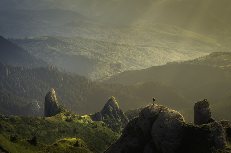

Cultural site
Chief Shakes Tribal House
- Site type
- Clan house
- Owner type
- Tribe
- Owner name
- Wrangell Cooperative Association
Tlingit clan house on Shakes Island in Wrangell harbor, open by arranged tour.
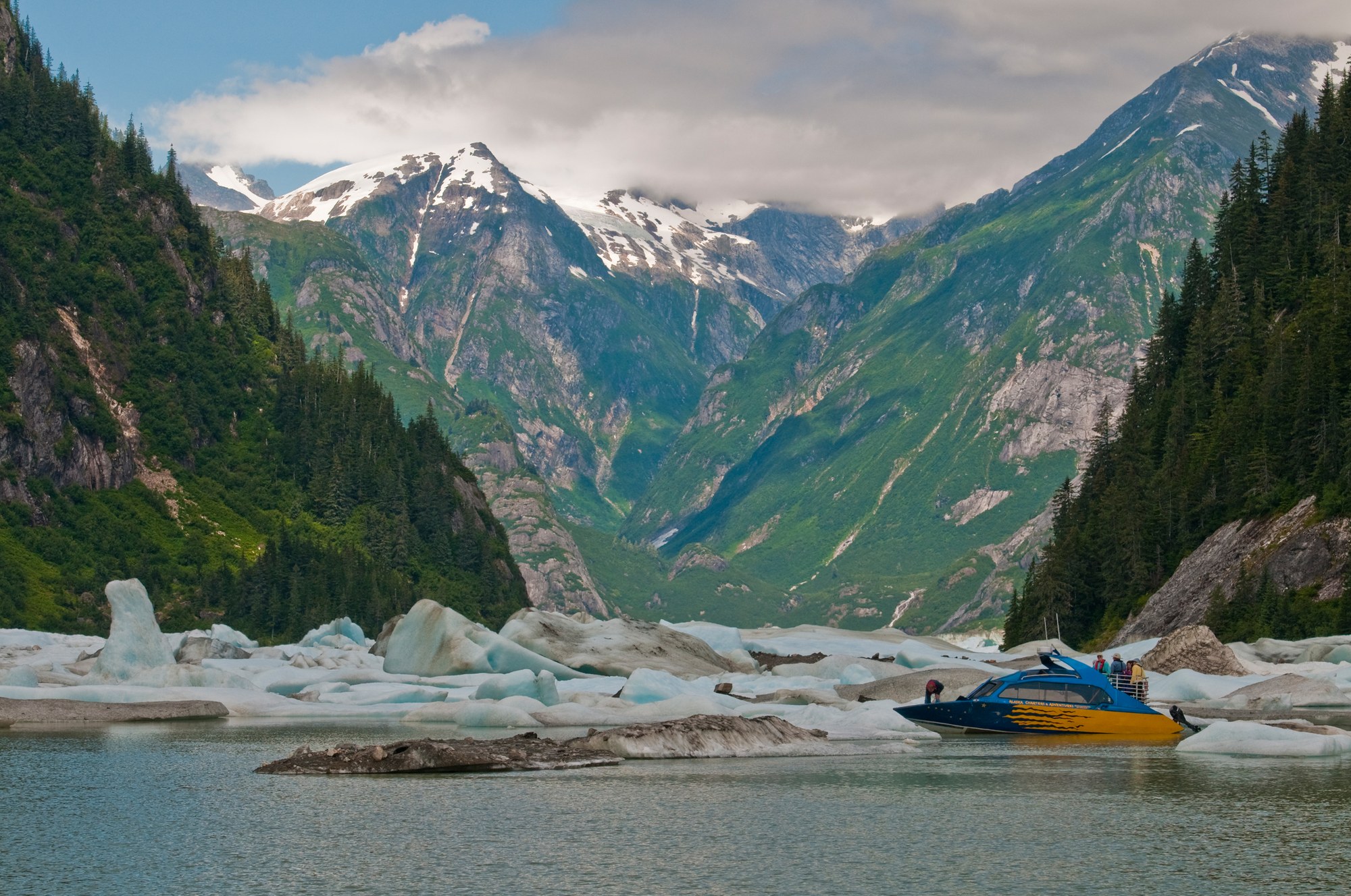
Alaska local guide
Fishing towns beside the Stikine River delta and glacier-filled waterways of the central Inside Passage.
Southeast / Inside Passage
Overview
Fishing towns beside the Stikine River delta and glacier-filled waterways of the central Inside Passage.
Explore
Town-side culture pairs with tidewater ice and hot springs upriver.
Cultural site
Tlingit clan house on Shakes Island in Wrangell harbor, open by arranged tour.
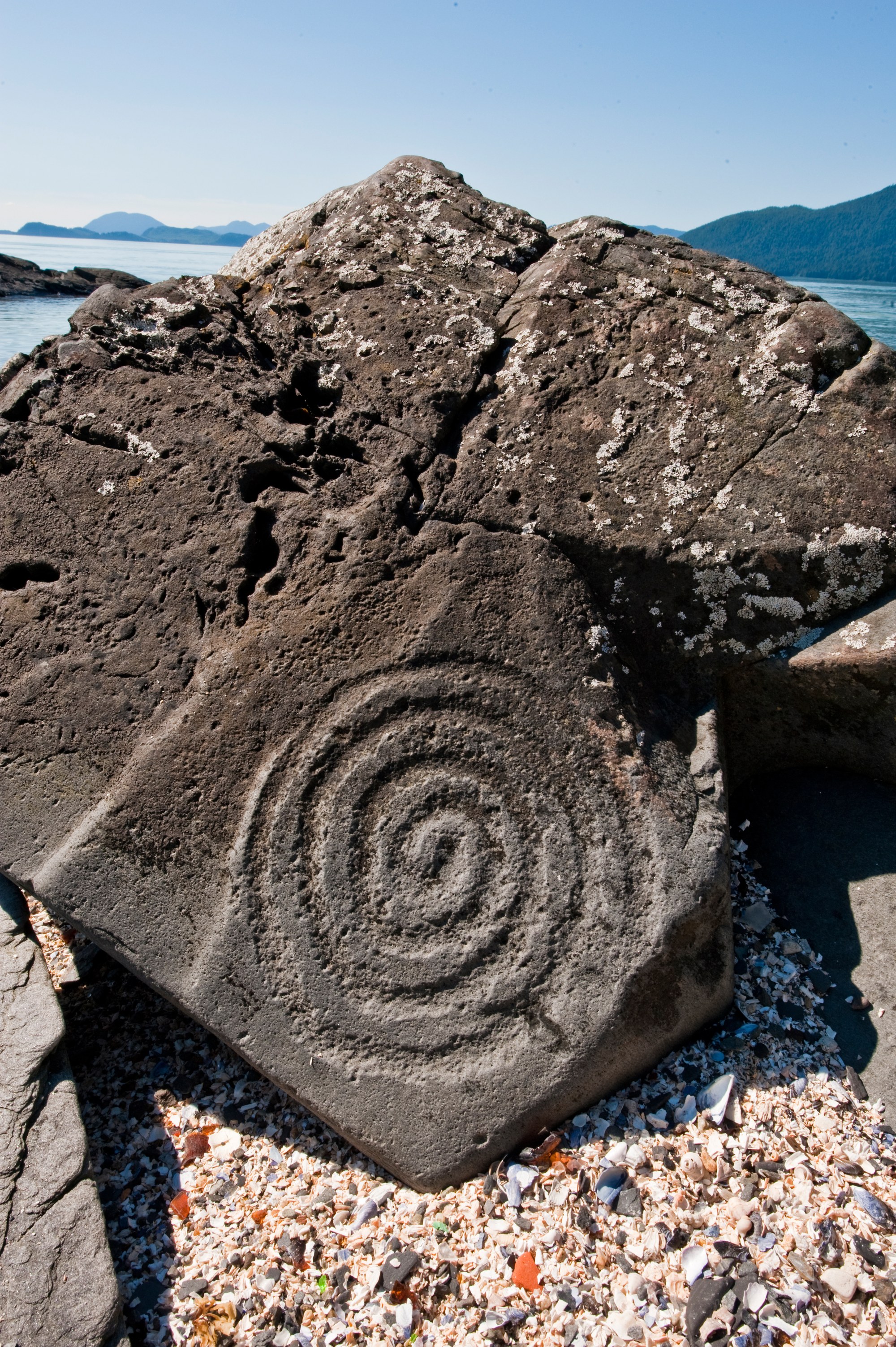
Cultural site
Beach north of Wrangell with ancient rock carvings, managed as an Alaska State Historic Site.

Glacier
Tidewater glacier southeast of Petersburg in the Stikine-LeConte Wilderness.

Glacier
Large mainland glacier about 20 miles northeast of Petersburg with a broad outwash plain.

Hot spring
Boat-in redwood hot tubs on a Stikine River slough northwest of Wrangell.

Viewpoint
Day-use shelters and vault toilets on Blind Slough south of Petersburg.
Waterfall
Roadside waterfall viewed from two platforms on the Rainbow Falls Trail.
Explore
The local skyline shapes weather and access.
Explore
Protected lands have different access, camping and activity rules.
national forest
Land manager: USFS
Explore
Road and boat trails range from short boardwalks to wilderness approaches.
Trail
E-shaped trail system linking Sand, Hill and Crane lakes off Three Lakes Loop Road.
Trail
Barrier-free creek walk near Ohmer Creek Campground through spruce and hemlock.
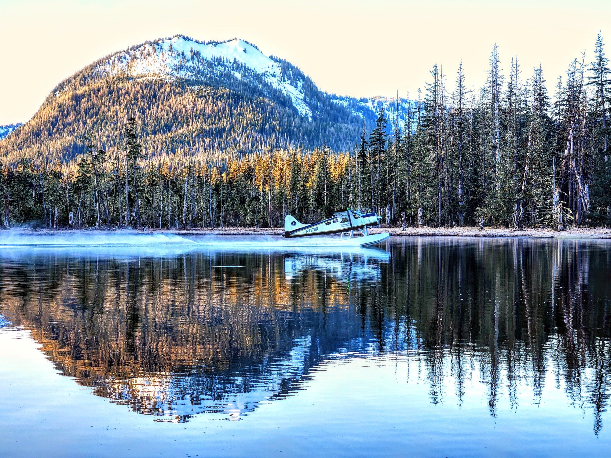
Trail
Wilderness trail across Wrangell Narrows country to Petersburg Lake Cabin.
10.5 mi

Trail
4.1-mile trail from Cascade Creek Cabin past falls toward Falls Lake.
4.1 mi

Trail
Half-mile trail from Anan Bay to the wildlife observatory decks.
0.5 mi
Trail
Steep climb from the Kupreanof Island dock area to alpine views over Petersburg.
Trail
4.2-mile climb from Sandy Beach Road to Raven's Roost Cabin above the airport.
4.2 mi
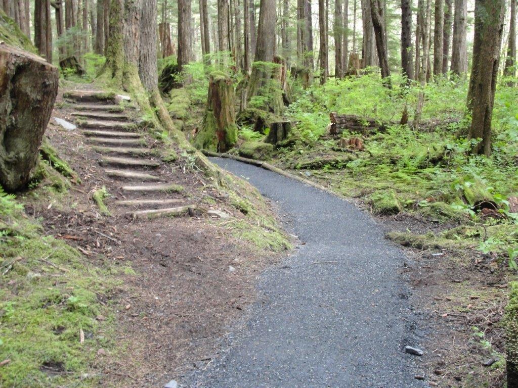
Trail
Short 0.7-mile mostly boardwalk trail to Rainbow Falls south of Wrangell.
0.7 mi
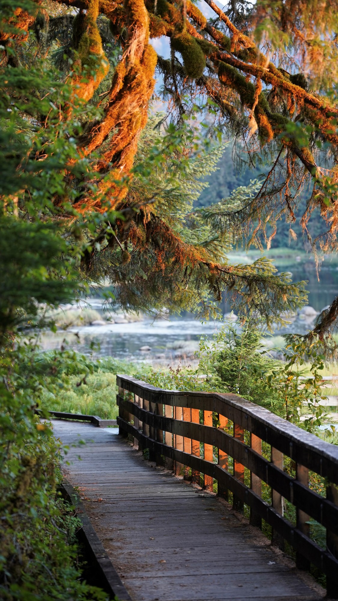
Trail
Short roadside trail to Blind River Rapids with a three-sided shelter.
0.5 mi
Trail
0.8-mile connector between Ideal Cove on Frederick Sound and the Three Lakes system.
0.8 mi
Shelter / lean-to
Free three-sided shelter on the Blind River Rapids Trail overlooking Blind Slough.
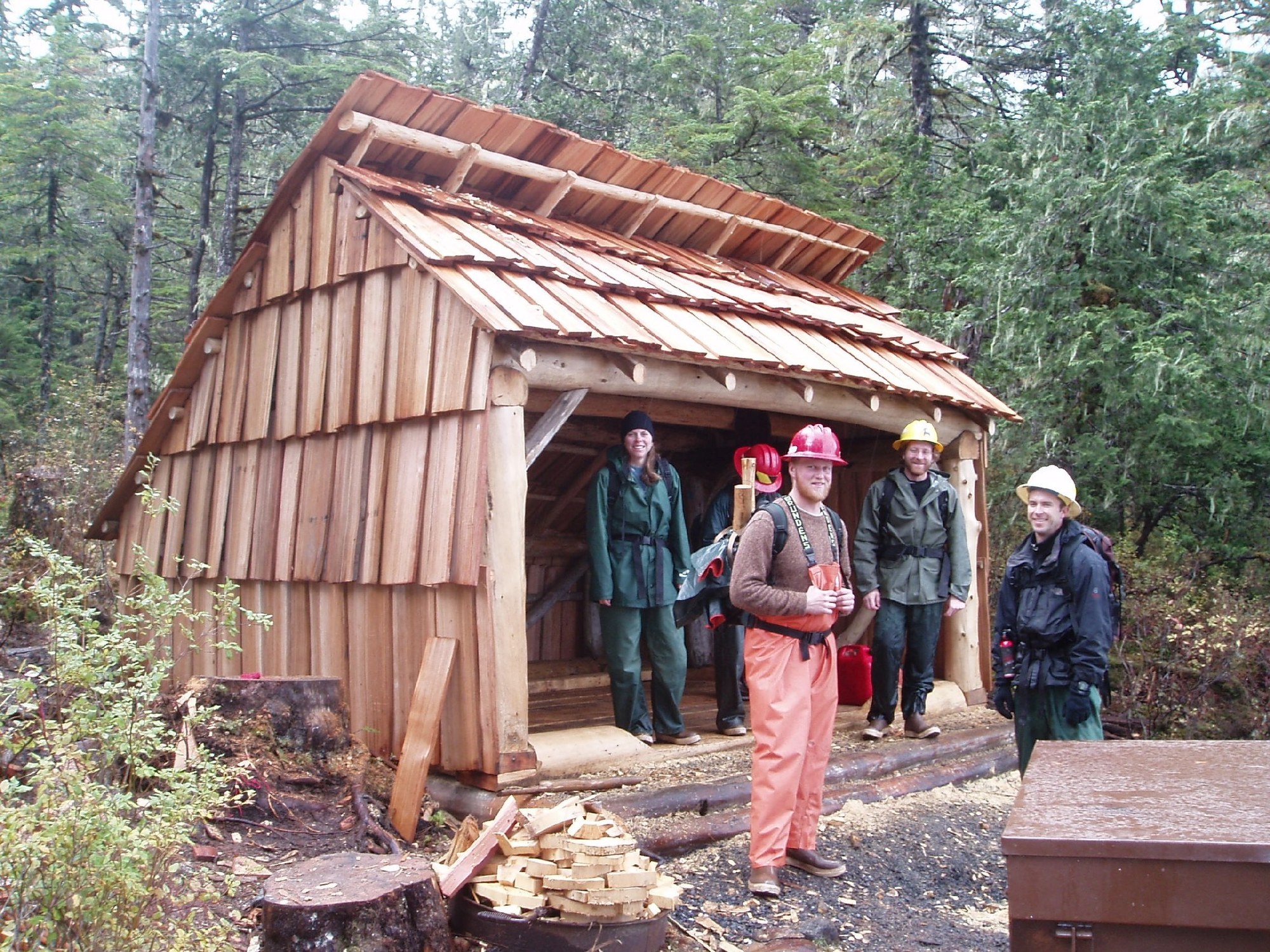
Shelter / lean-to
Free three-sided shelter on Shelter Lake along the Three Lakes Trail.
Explore
Blind Slough and Wrangell Narrows are the region's best-known king and coho waters; always check the current ADF&G Southeast booklet and emergency orders.
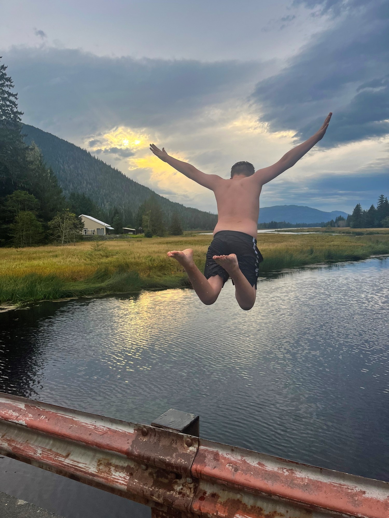
Fishing spot
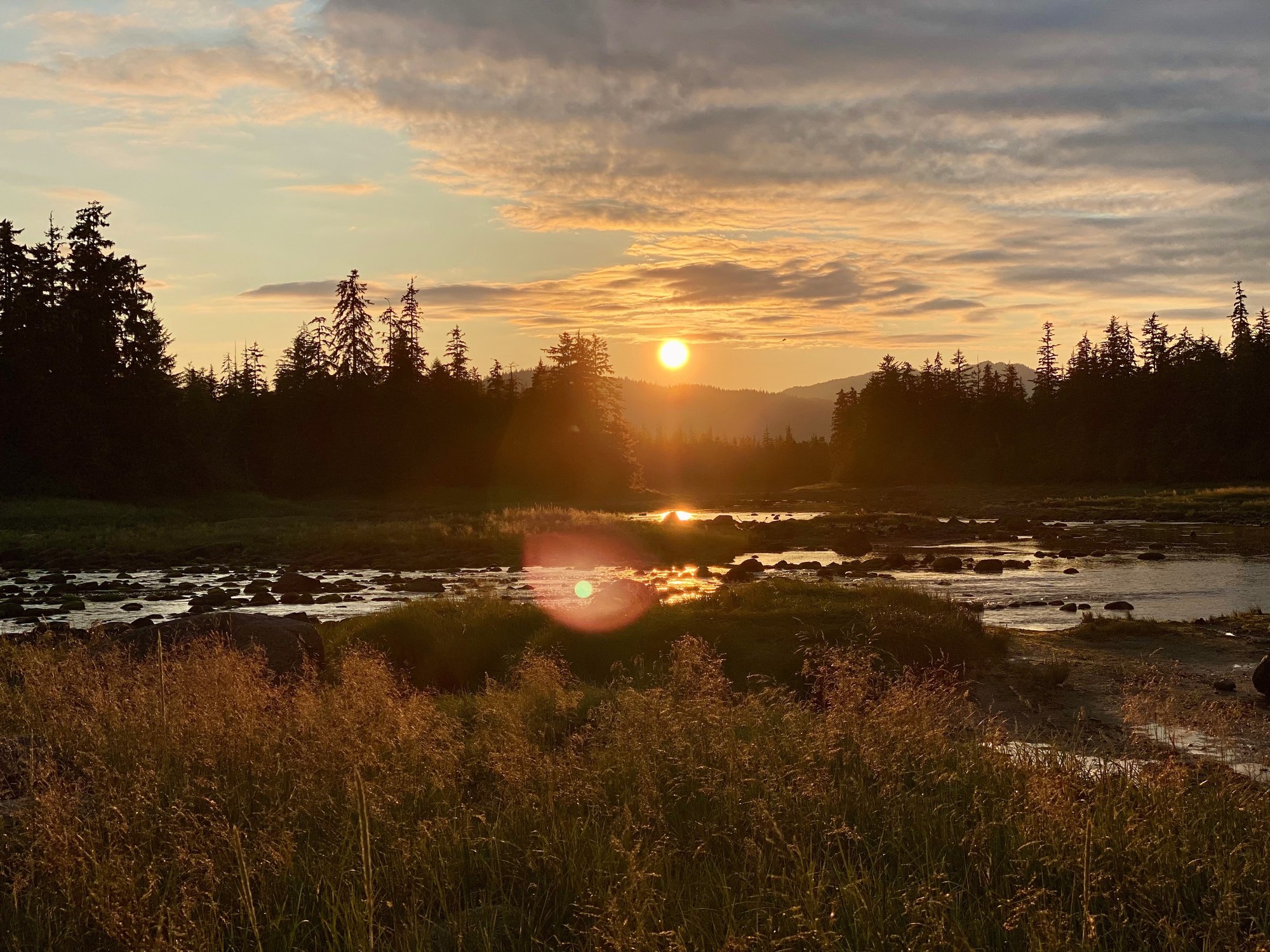
Roadside king and coho water on Mitkof Island, with a terminal harvest area for hatchery kings.
Fishing spot
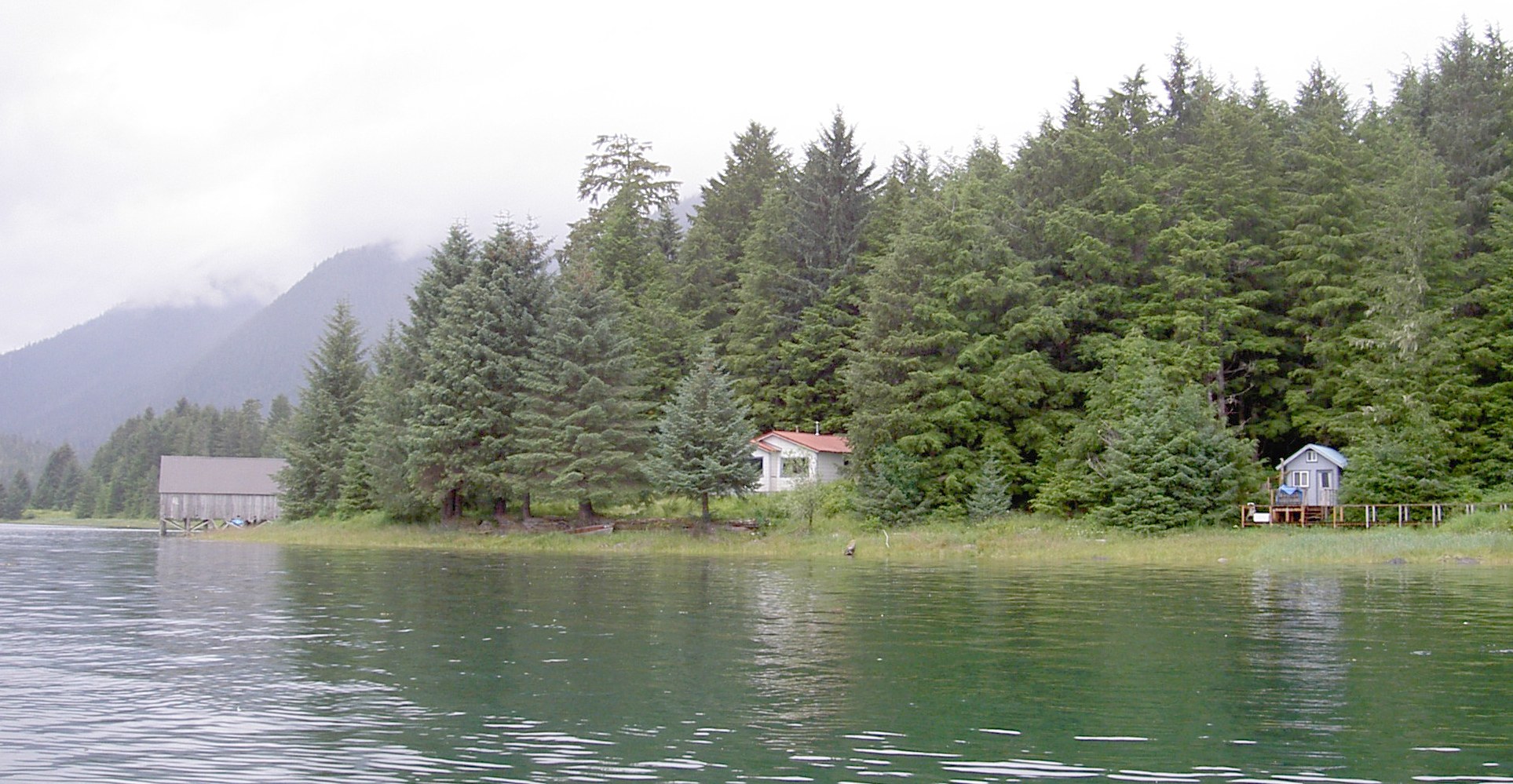
Popular roadside fishing hole on Blind Slough with a short trail and shelter.
Fishing spot
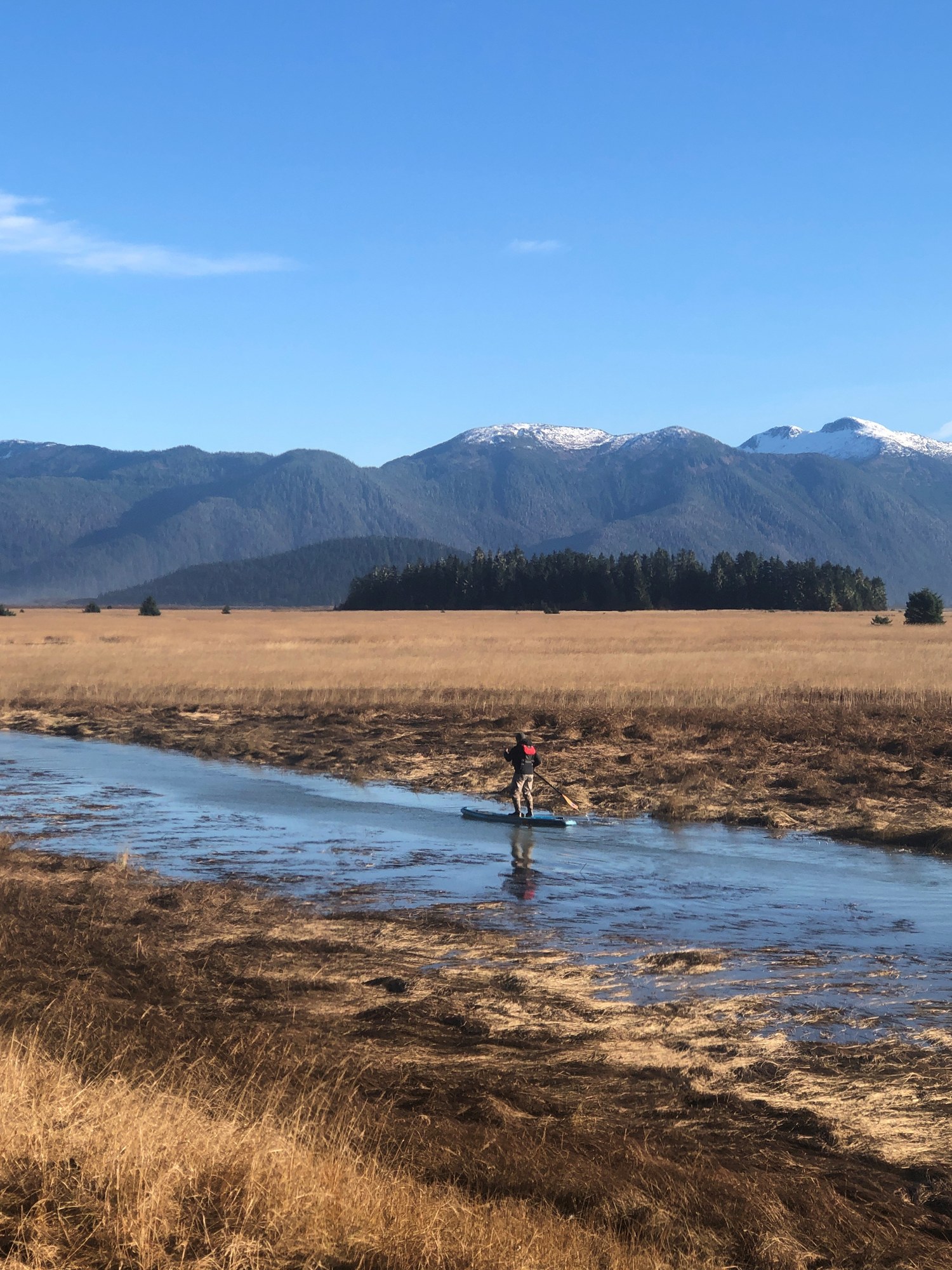
Narrow channel between Mitkof and Kupreanof islands, fished for salmon and bottomfish.
Fishing spot
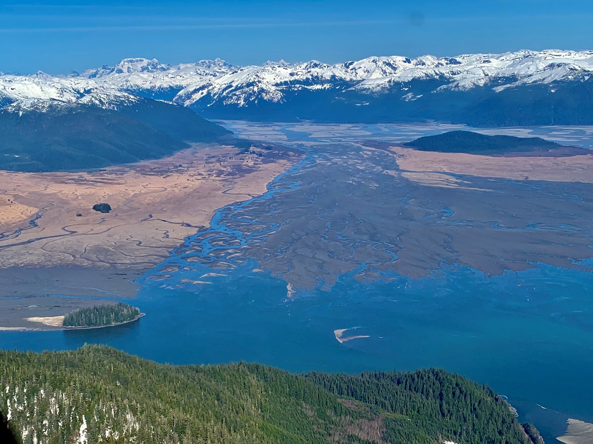
Mainland river fishing and wildlife access from Wrangell into the Stikine-LeConte country.
Fishing spot
Small roadside creek beside Ohmer Creek Campground south of Petersburg.
River
Major mainland river at Wrangell, through the Coast Mountains.
A field companion
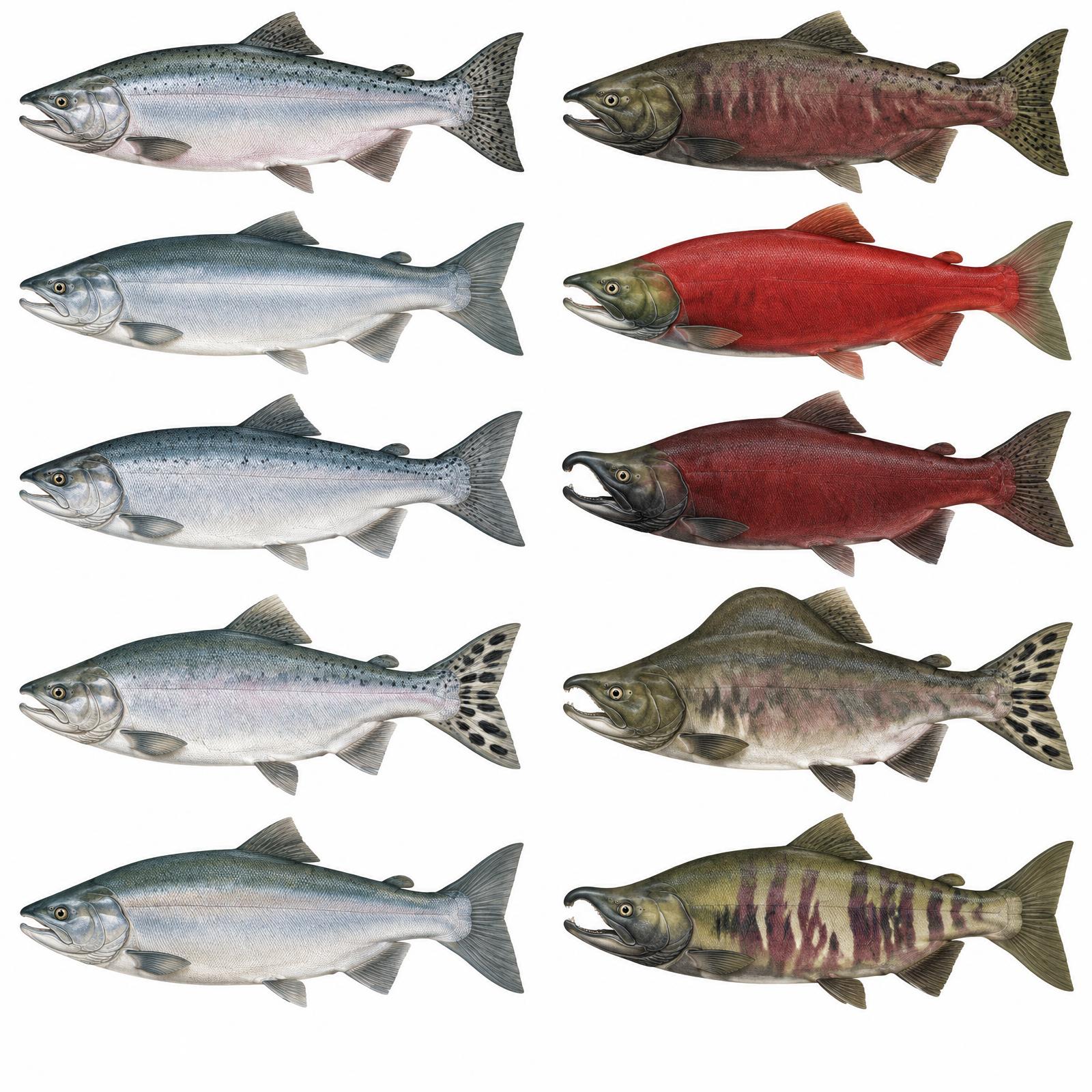
King
Usually 10–20 lb
Red
About 4–8 lb
Silver
Usually 8–12 lb
Humpy
Average 3.5–5 lb
Dog / Keta
About 6–12 lb
Illustrations are interpretive; identify fish by several traits together, not pupil shape alone. Adult sizes vary by stock. Official ADF&G identification chart
Current ADF&G sport-fishing regulations and emergency orders
Explore
Most island hunting around Petersburg and Wrangell falls in Game Management Unit 3; nearby mainland drainages are in Unit 1.
Seasons, permits and land restrictions change. Check current Alaska Department of Fish and Game regulations before planning a hunt.
Explore
Pink salmon runs concentrate bears, eagles and marine mammals from midsummer into fall.
Bear country
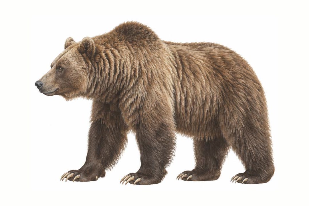
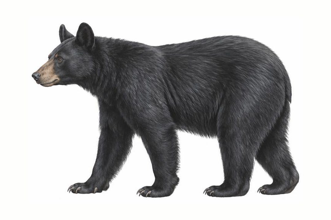
Both species vary in coat color. Never approach a bear to identify it. Stay alert, make noise in dense cover, give bears space, secure food and garbage, and never run. Carry accessible bear spray and know how to use it.
ADF&G bear safety guidanceExplore
A four-wheel-drive vehicle does not create a right to drive off-road.
Local island roads only; check forest-road conditions.
Conditions: Verify seasonal openings, washouts and land permissions.
Vehicle: Check rental exclusions; do not enter uncertain water crossings.
Content coming soon
Explore
Water trips require cold-water equipment and a realistic evacuation plan.
Explore
Two free Forest Service camp areas cover the road network, plus cabins for overnight stays.

Campground
Free 8-site accessible Forest Service camp area on four overlooks south of Wrangell.

Campground
Free 10-site Forest Service campground 22 miles south of Petersburg on Mitkof Highway.
Campground
Two fully accessible free overlook campsites on the Nemo-Skip Loop Road.
Campground
Fully accessible single campsite overlooking Zimovia Strait and the Three Sisters peaks.
Campground
Road-end campsite on Eastern Passage with a marine access facility below.
Campground
Two tent platforms on saltwater, reached by a half-mile trail or by boat.
Public-use cabin
Fly-in hunter cabin at the head of Anan Lake with a skiff.
Public-use cabin
A-frame cabin overlooking Berg Bay and Blake Channel.
Public-use cabin
Fully accessible large-group cabin on Zarembo Island, year-round by boat or floatplane.
Public-use cabin
Remote A-frame on Eagle Lake, 44 miles southeast of Wrangell by floatplane.
Public-use cabin
Hunter cabin at the mouth of Kah Sheets Creek, south Kupreanof.
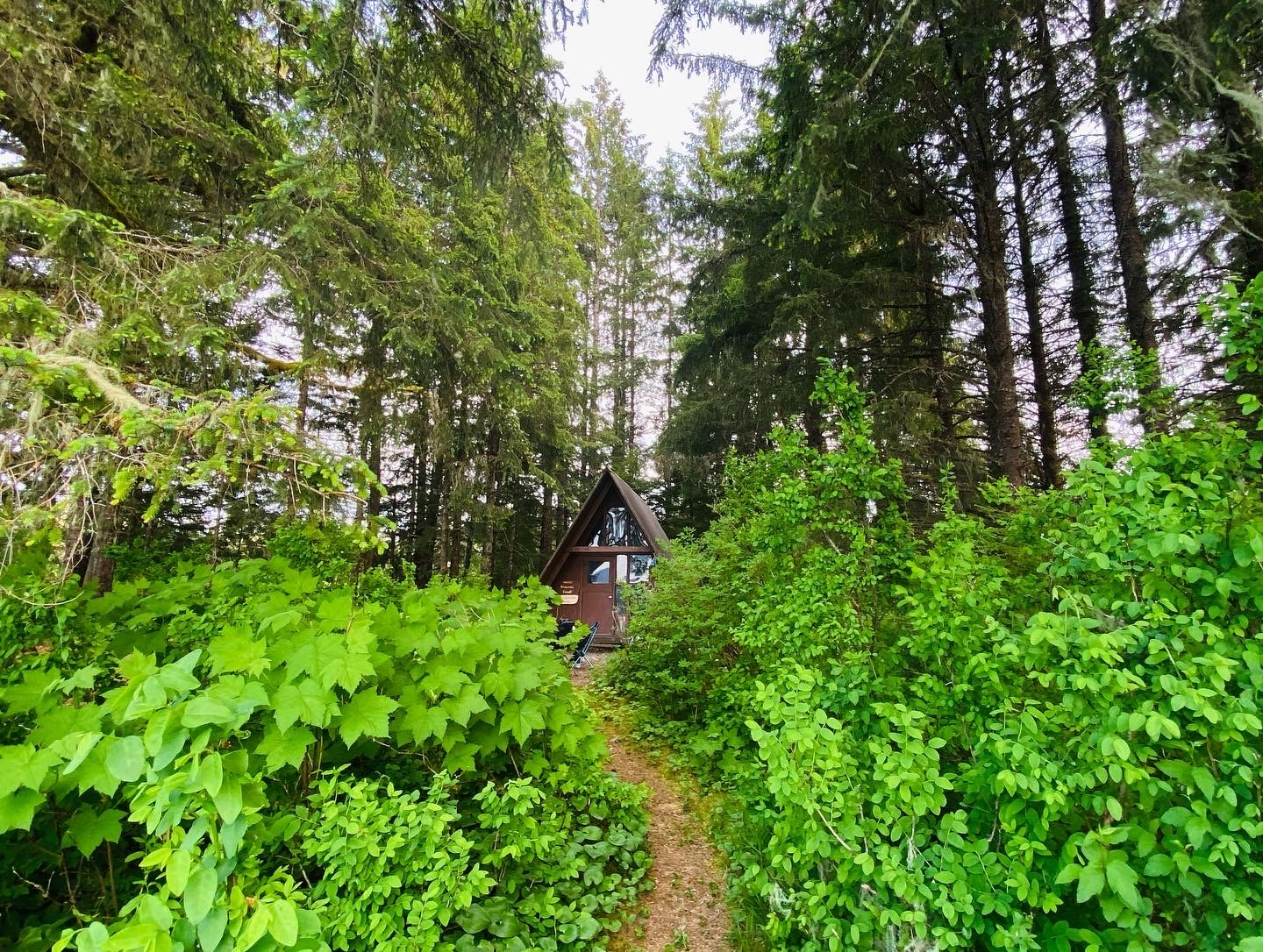
Public-use cabin
Oil-heat cabin on Duncan Canal near the Castle Islands.
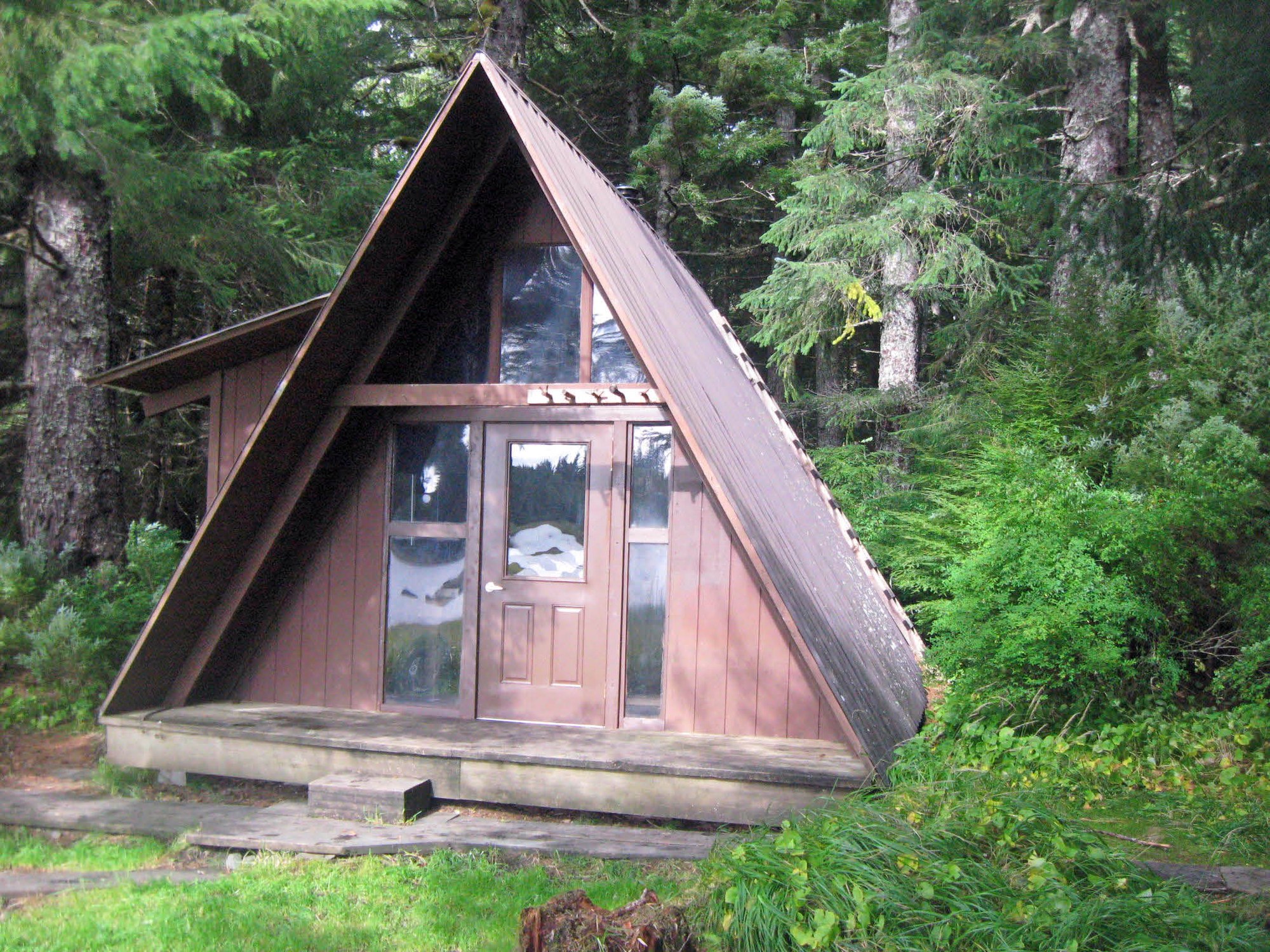
Public-use cabin
A-frame with loft and rowboat on Duncan Canal Salt Chuck.
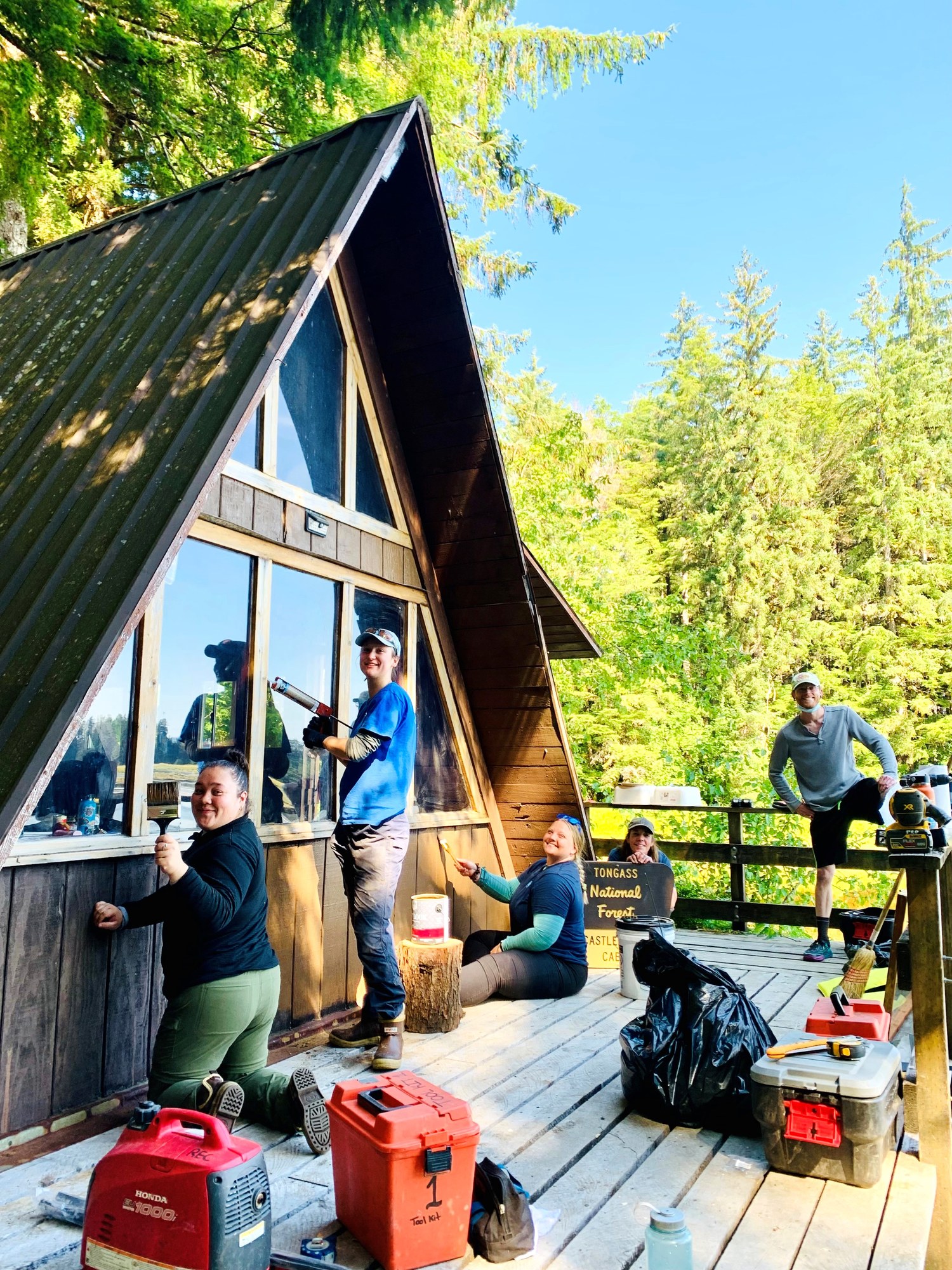
Public-use cabin
Modified A-frame at the mouth of Castle River on Duncan Canal.
Public-use cabin
Pan-abode cabin on Petersburg Lake with a rowboat, inside wilderness.
Public-use cabin
Hunter cabin in Frosty Bay off Seward Passage south of Wrangell.
Public-use cabin
Hunter cabin on Woewodski Island at Beecher Pass, near Petersburg.
Public-use cabin
Oil-heat cabin on Rocky Pass, west side of Kupreanof Island.
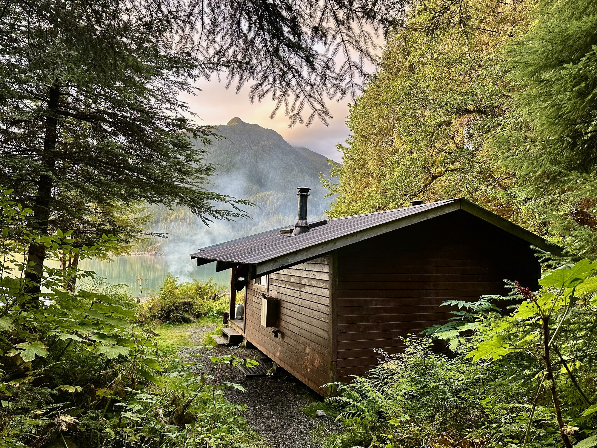
Public-use cabin
Cabin at the mouth of Cascade Creek in Thomas Bay, with wood and oil heat.
Public-use cabin
Cabin on Castle River mud flats with a rowboat, Duncan Canal.
Public-use cabin
Alpine cabin above Petersburg Airport at the top of the Raven Trail.
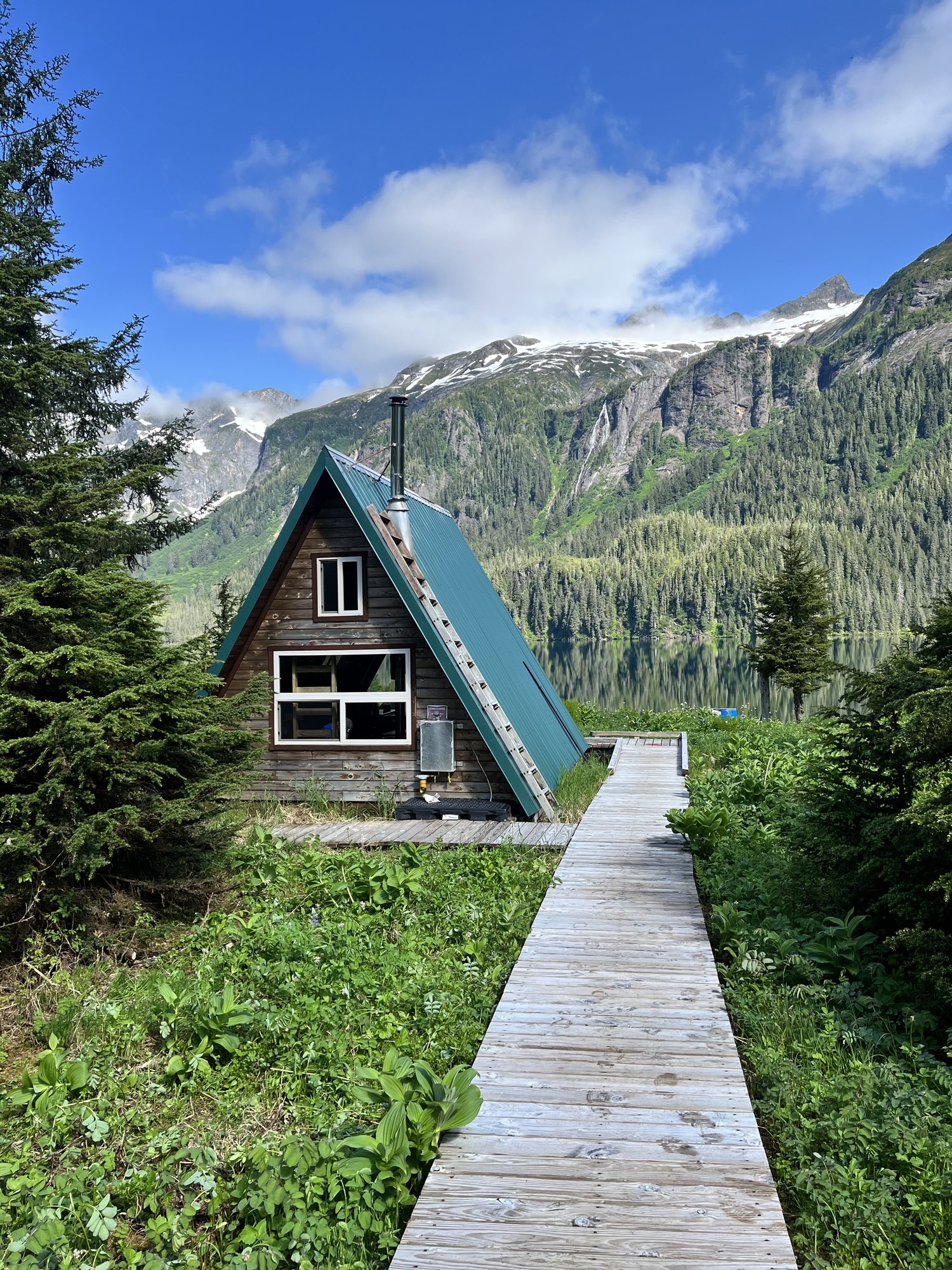
Public-use cabin
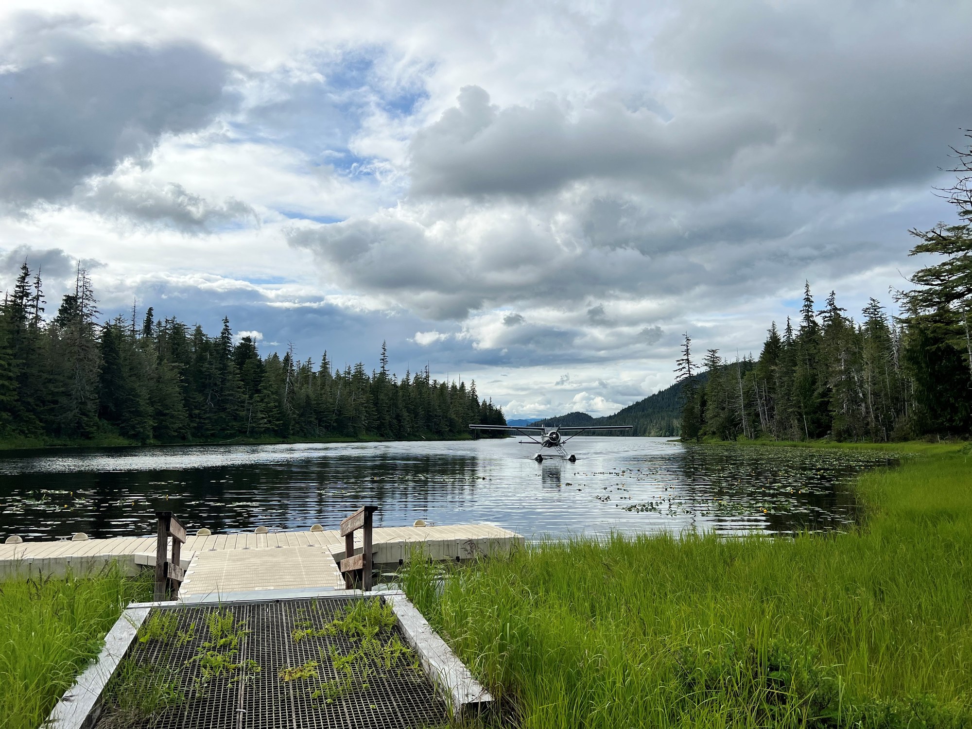
Alpine lake cabin at 1,514 feet east of Thomas Bay, floatplane or ski access.
Public-use cabin
Barrier-free lake cabin above Kah Sheets Bay with dock and skiff.
Public-use cabin
Cedar cabin at Anan Bay; cabin reservation holds four Anan Observatory permits.
Shelter / lean-to
Free three-sided shelter on the Blind River Rapids Trail overlooking Blind Slough.
Shelter / lean-to
Free three-sided shelter on Shelter Lake along the Three Lakes Trail.
Explore
Local operators and cultural institutions offer different ways to explore.
Operator
State ferry system linking Wrangell, Petersburg and the rest of the Inside Passage.
Operator
Mainline airline with scheduled jet service to Wrangell and Petersburg.
Lodge
A family-run, cabin-style fishing resort midway down the sheltered Wrangell Narrows near Petersburg. Guests fish for coho and king salmon and halibut on self-guided or guided trips.
Explore
Neither town is on the contiguous road system; nearly everyone arrives by ferry or scheduled air.
Airport
Paved public airport one mile northeast of Wrangell (FAA WRG / PAWG).
Airport
Paved public airport serving Petersburg (FAA PSG).
Floatplane base
Harbor floatplane access in Wrangell for Anan, Stikine and island cabins.
Floatplane base
State floatplane facility at Petersburg for local air taxis and charters.
Ferry terminal
Alaska Marine Highway terminal in downtown Wrangell.
Ferry terminal
Alaska Marine Highway terminal serving Petersburg on Mitkof Island.
Gallery

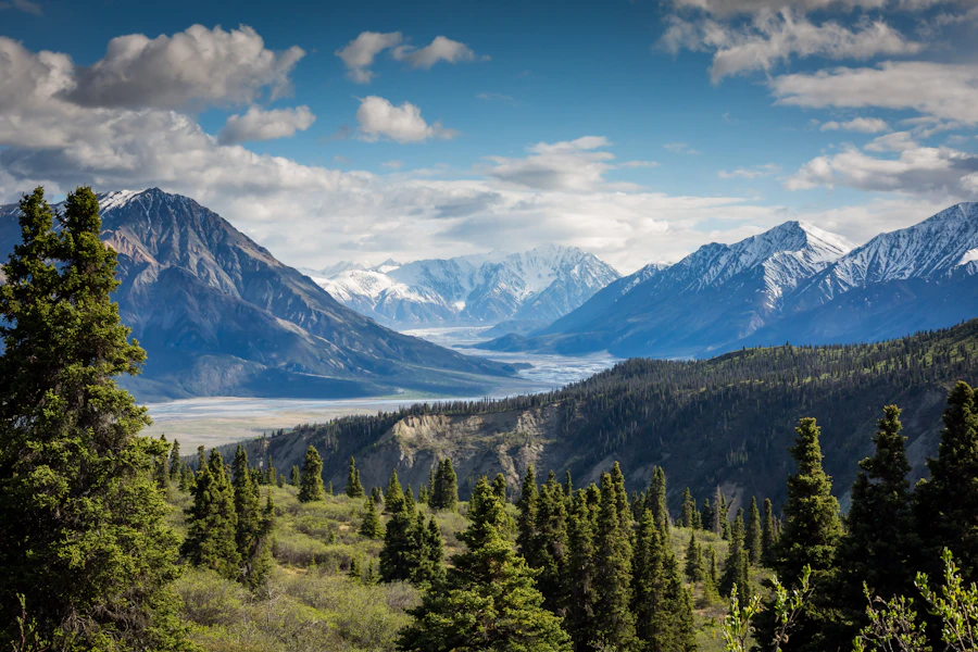
Southeast / Inside Passage
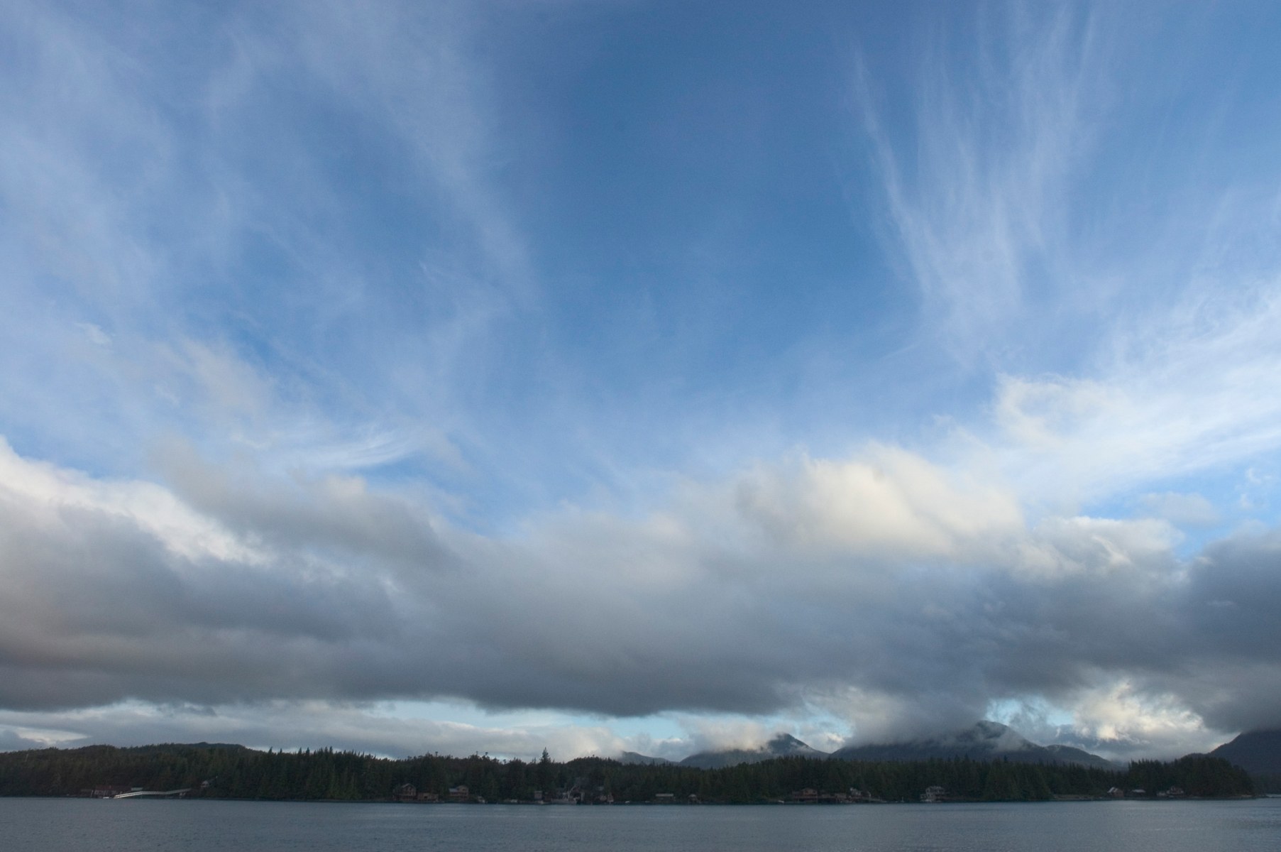
Ketchikan is a fishing port and cultural hub on Revillagigedo Island. Misty Fjords' granite walls, lakes and rainforest lie east of town.

A large, roadable Tongass island with Haida and Tlingit villages, totem parks, El Capitan Cave, steelhead rivers and more than 20 public-use cabins.
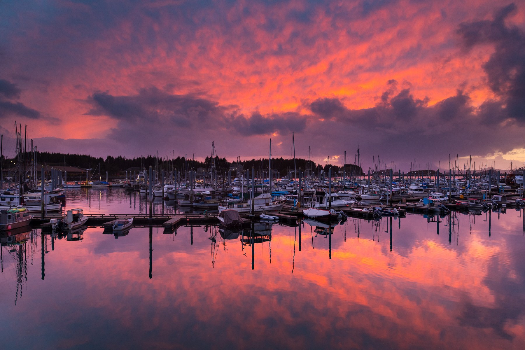
Pacific-facing Sitka pairs living Tlingit culture and Russian-era landmarks with rainforest trails, island cabins and boat trips on Sitka Sound.
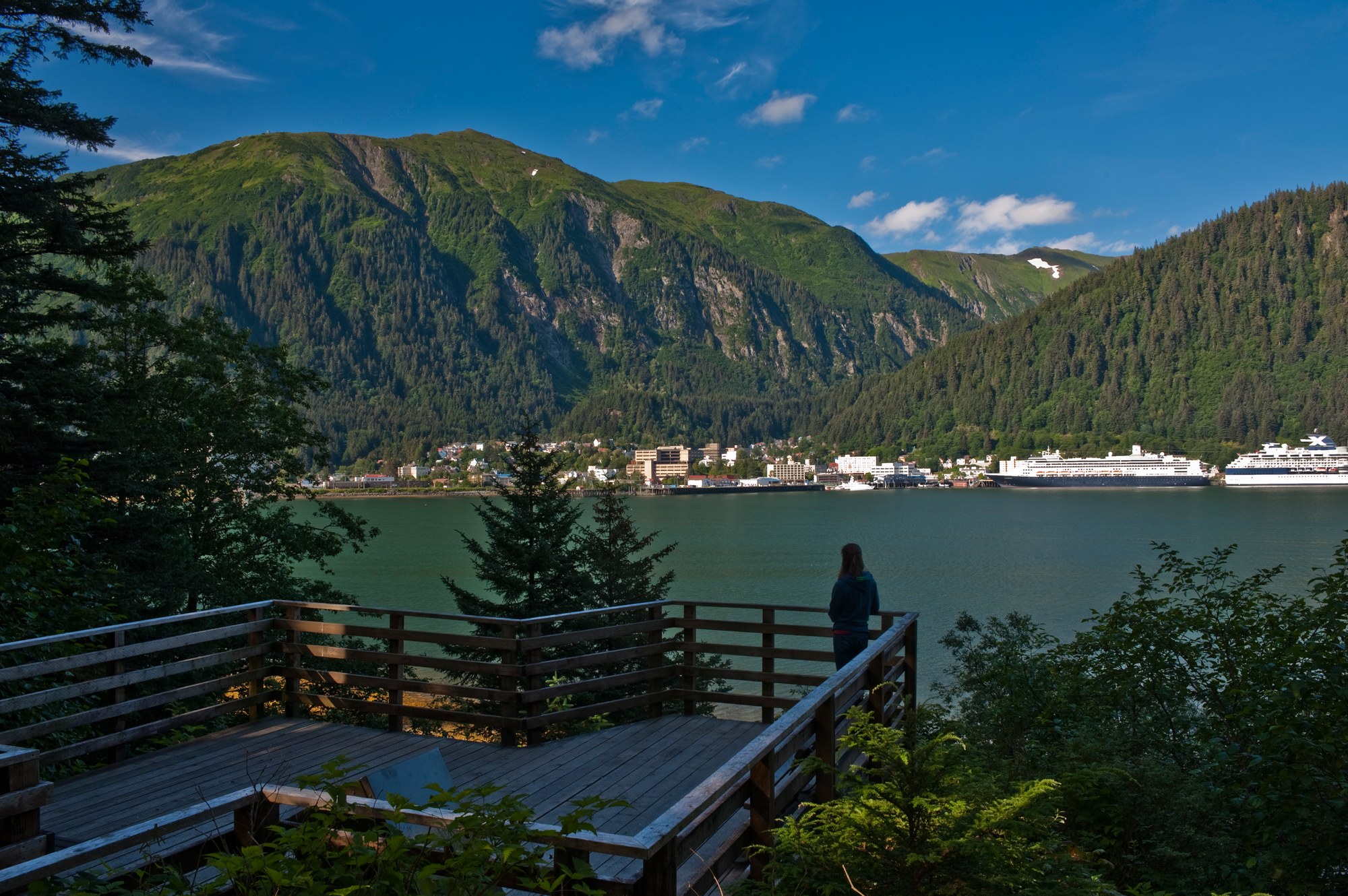
Alaska's capital, the road-accessible Mendenhall Glacier, Admiralty Island's brown bears and the tidewater glaciers of Glacier Bay National Park, with Gustavus and Hoonah as gateways.
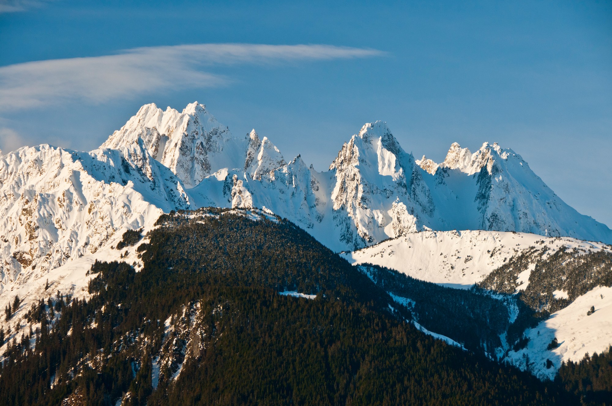
Haines sits on the Chilkat Peninsula between the Chilkat and Chilkoot rivers, below the Chilkat Range, with the Haines Highway running north past the Alaska Chilkat Bald Eagle Preserve into Canada.
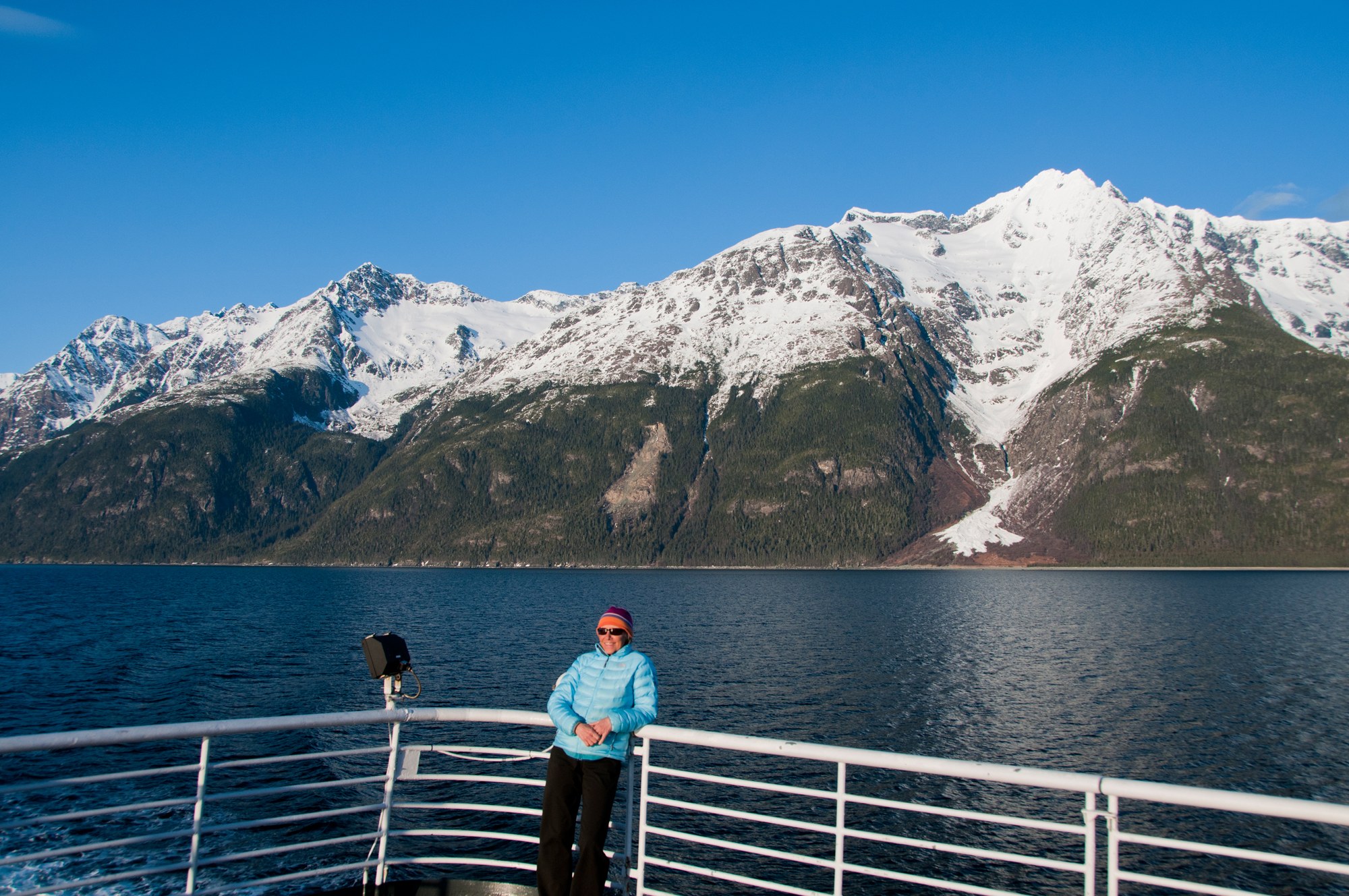
Skagway sits at the head of Taiya Inlet, the gold rush gateway to the Chilkoot Trail and White Pass, with a preserved boardwalk historic district, the White Pass & Yukon Route railway and the Dyea townsite nearby.

A Tlingit town on the Gulf of Alaska between the Saint Elias Mountains and the sea, with the Situk River's steelhead and salmon, surf beaches, Hubbard Glacier and the Malaspina Forelands.