Waterfall
Rainbow Falls
Roadside waterfall viewed from two platforms on the Rainbow Falls Trail.
0.0 mi
Trail
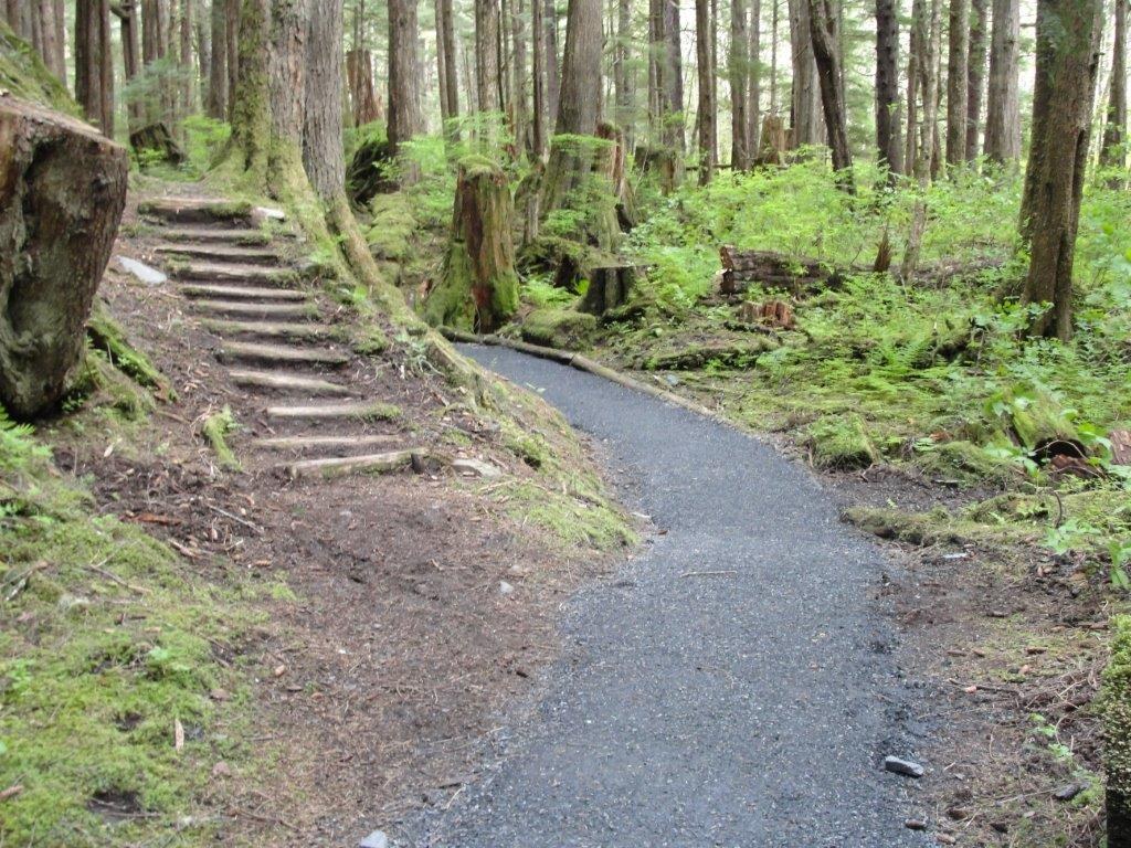
Short 0.7-mile mostly boardwalk trail to Rainbow Falls south of Wrangell.
Tongass National Forest · USFS
A 0.7-mile mostly boardwalk day hike on Wrangell Island with two observation platforms overlooking Rainbow Falls. From Wrangell, drive 4.5 miles south on Zimovia Highway; parking is on the right and the trail starts under a large sign on the left. Wrangell Ranger District: 907-874-2323.
Hiking · Photography
Last updated 2026-11-13

Campground
Free 8-site accessible Forest Service camp area on four overlooks south of Wrangell.
7.9 mi
Campground
Fully accessible single campsite overlooking Zimovia Strait and the Three Sisters peaks.
8.8 mi
Campground
Two fully accessible free overlook campsites on the Nemo-Skip Loop Road.
9.6 mi
Campground
Road-end campsite on Eastern Passage with a marine access facility below.
10.6 mi
Campground
Two tent platforms on saltwater, reached by a half-mile trail or by boat.
11.7 mi

Campground
Free 10-site Forest Service campground 22 miles south of Petersburg on Mitkof Highway.
17.7 mi
Public-use cabin
Fully accessible large-group cabin on Zarembo Island, year-round by boat or floatplane.
10.4 mi
Public-use cabin
A-frame cabin overlooking Berg Bay and Blake Channel.
14.8 mi

Public-use cabin
Cedar cabin at Anan Bay; cabin reservation holds four Anan Observatory permits.
24.7 mi
Fishing spot
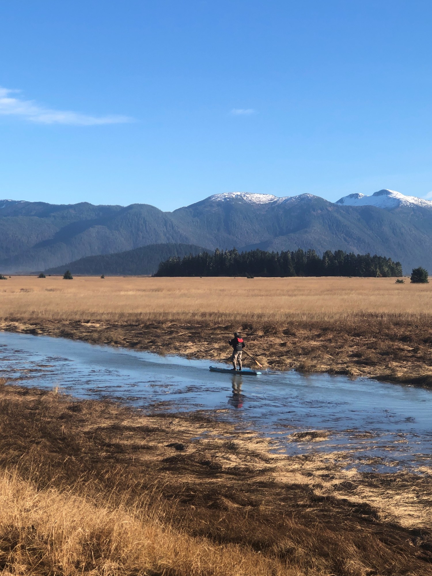
Mainland river fishing and wildlife access from Wrangell into the Stikine-LeConte country.
16.1 mi
Fishing spot
Small roadside creek beside Ohmer Creek Campground south of Petersburg.
17.7 mi
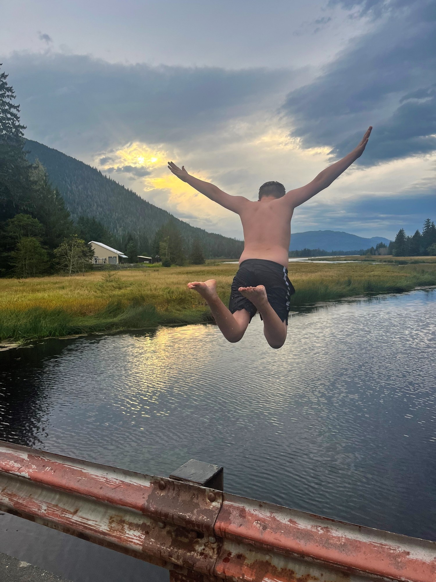
Fishing spot
Roadside king and coho water on Mitkof Island, with a terminal harvest area for hatchery kings.
21.6 mi
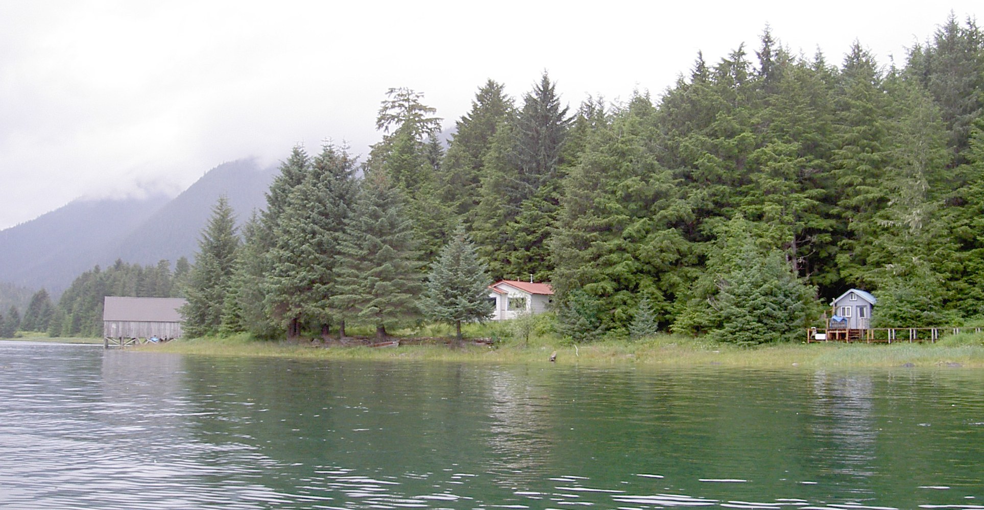
Fishing spot
Narrow channel between Mitkof and Kupreanof islands, fished for salmon and bottomfish.
23.7 mi
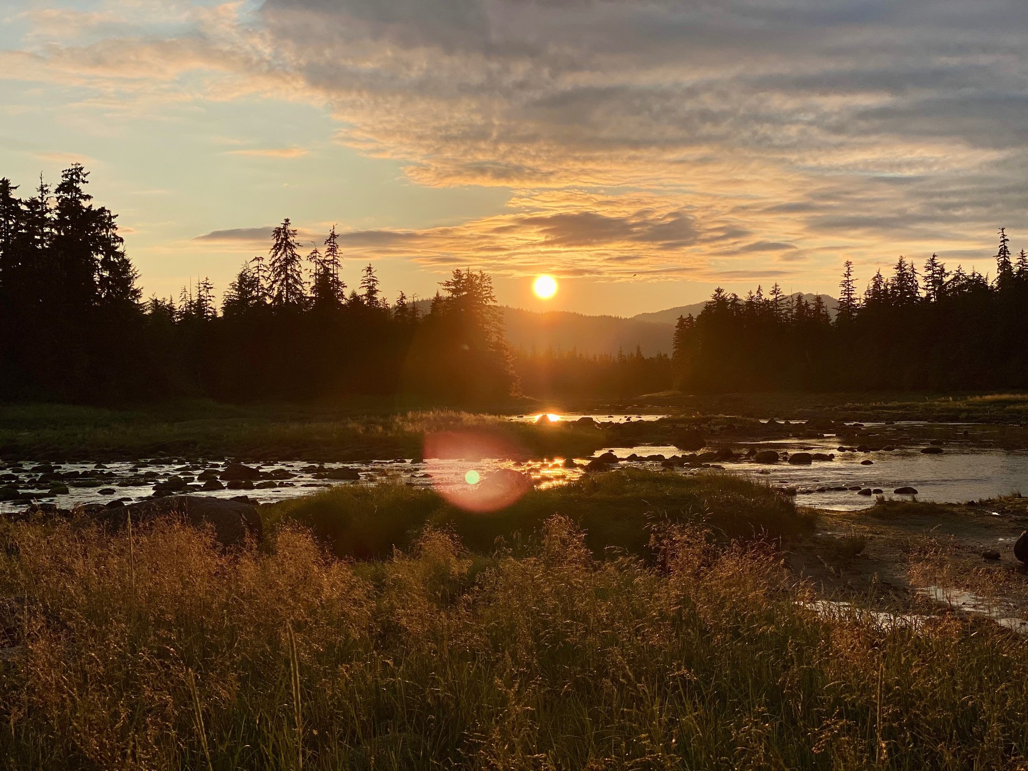
Fishing spot
Popular roadside fishing hole on Blind Slough with a short trail and shelter.
24.5 mi
Trail
Barrier-free creek walk near Ohmer Creek Campground through spruce and hemlock.
17.9 mi
Trail
E-shaped trail system linking Sand, Hill and Crane lakes off Three Lakes Loop Road.
21.2 mi
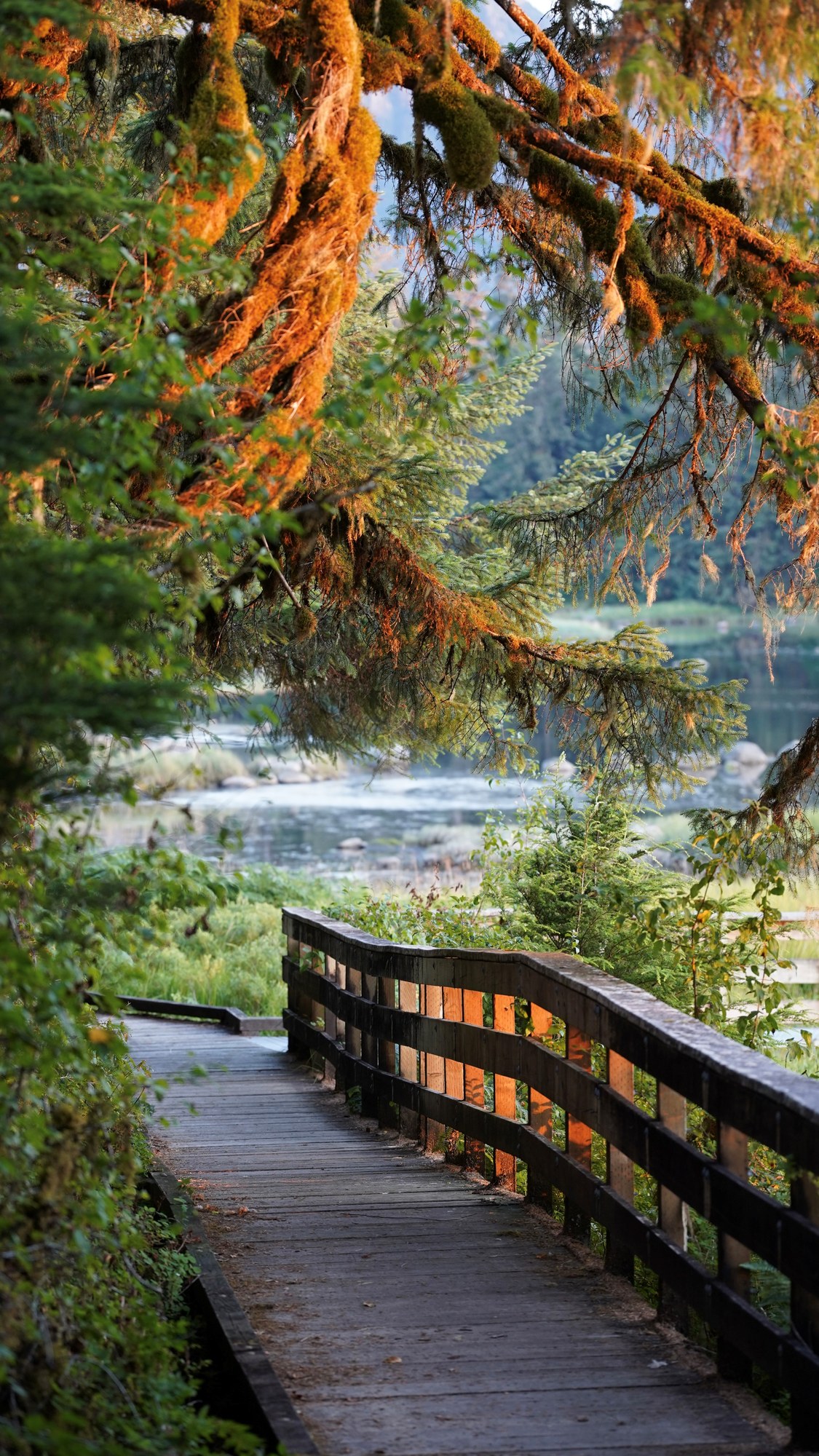
Trail
Short roadside trail to Blind River Rapids with a three-sided shelter.
24.5 mi