Cultural site
Sealaska Heritage Institute
- Site type
- Heritage center
Native culture and art in Juneau.
Alaska local guide
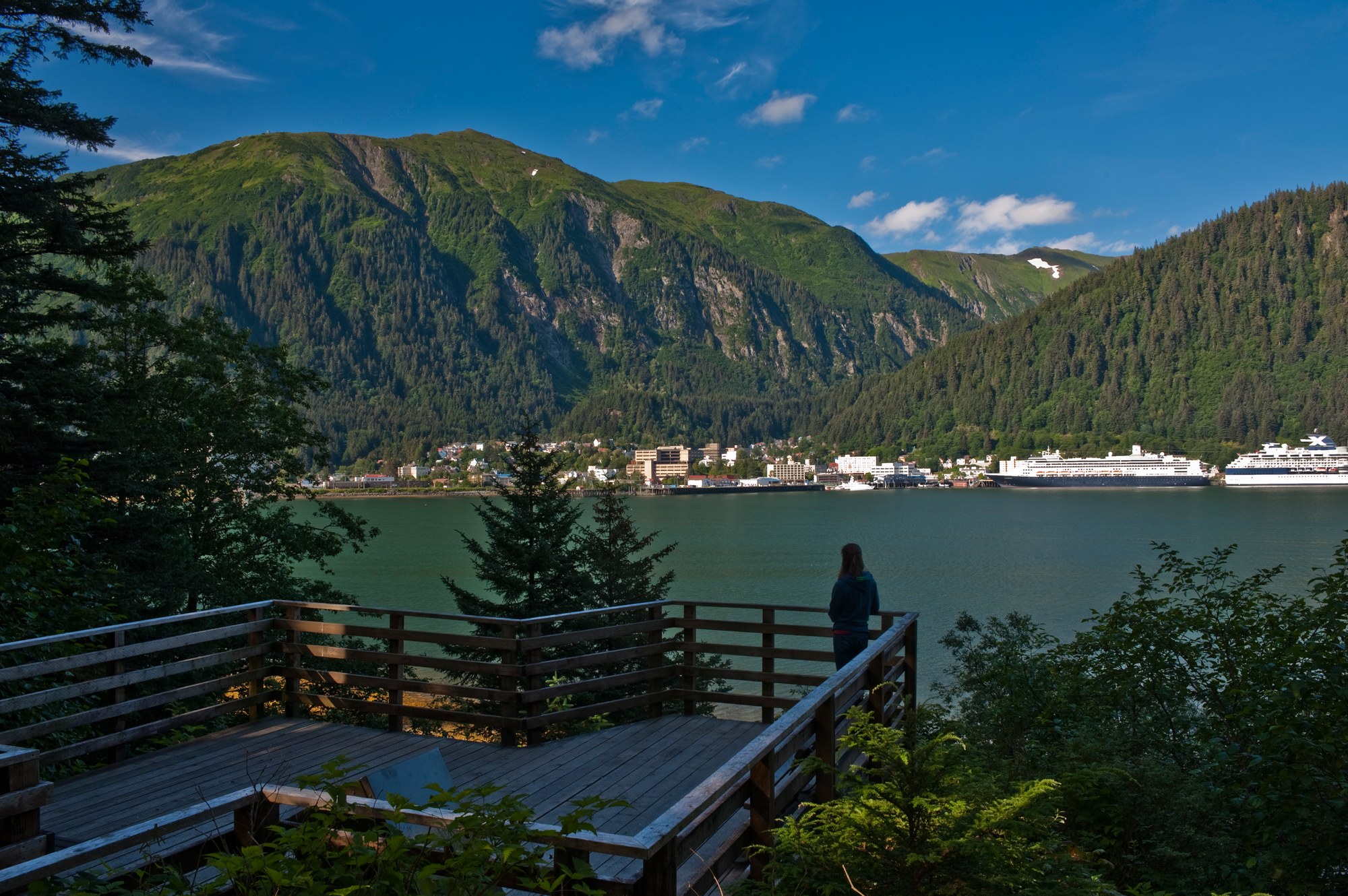
Alaska's capital sits below the Juneau Icefield. Glacier Bay is a separate boat-and-flight destination accessed through Gustavus.
Southeast / Inside Passage
Overview
Alaska's capital sits below the Juneau Icefield. Glacier Bay is a separate boat-and-flight destination accessed through Gustavus.
Explore
Glaciers, mining history and Tlingit culture are the headline sights.
Cultural site
Native culture and art in Juneau.
Cultural site
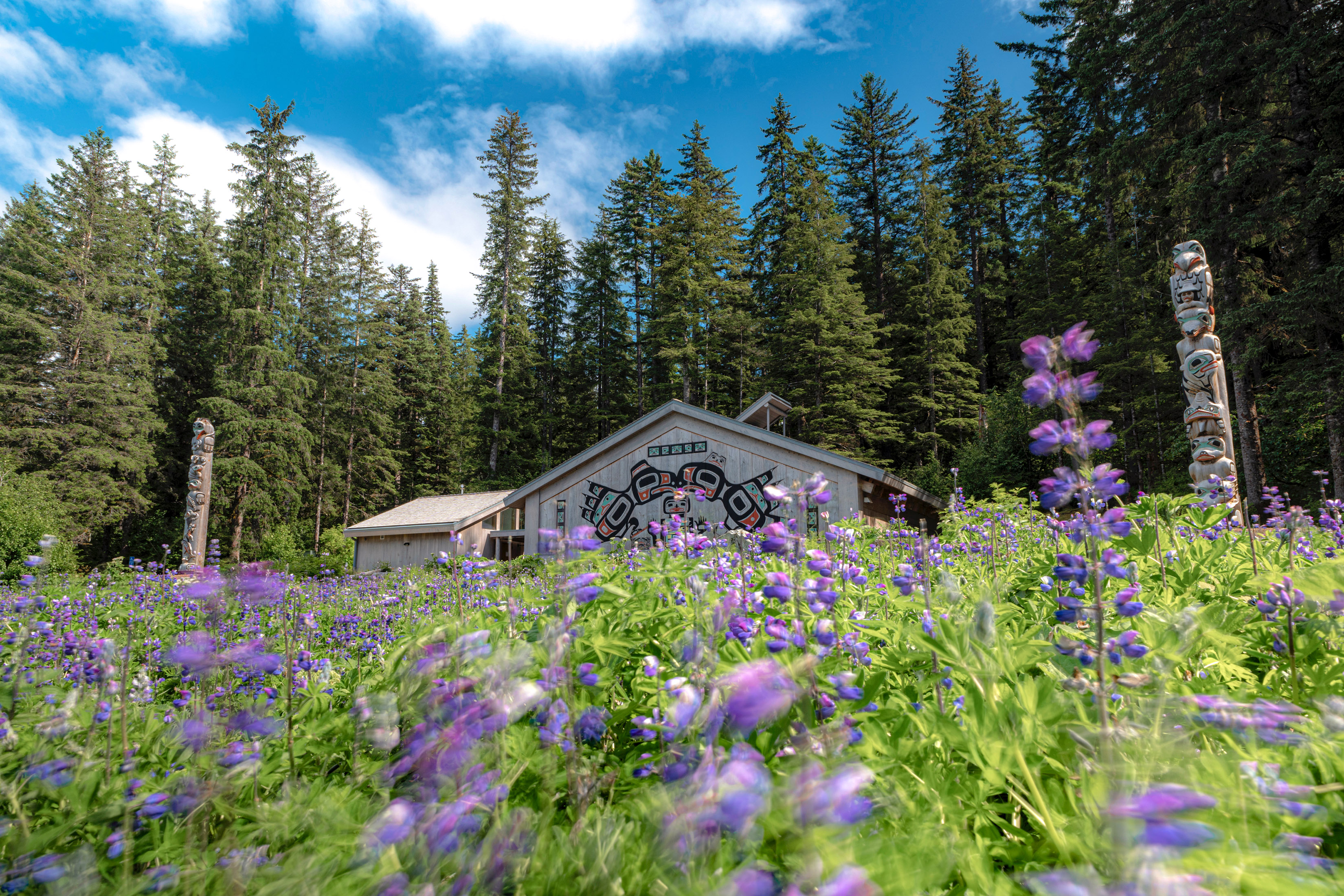
Clan house at Bartlett Cove honoring the Huna Tlingit homeland of Glacier Bay.
Museum
State museum in Juneau.
Museum
Mining museum in the air compressor building of the historic Jualpa Mining Camp, at the end of Basin Road.
Glacier
Seen on Endicott Arm glacier cruises.
Glacier
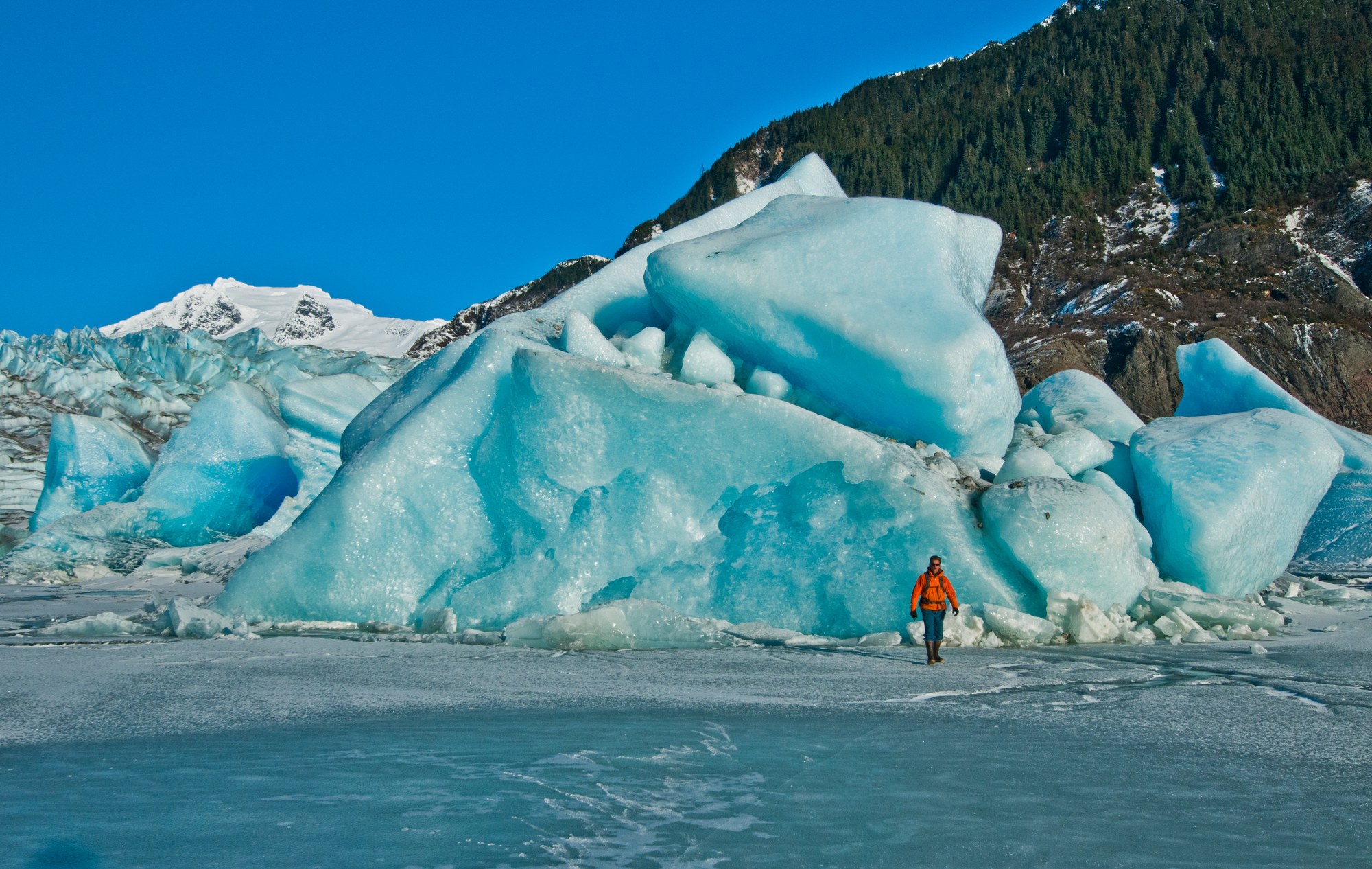
13 miles from downtown Juneau, with Nugget Falls and a USFS visitor center.
Glacier
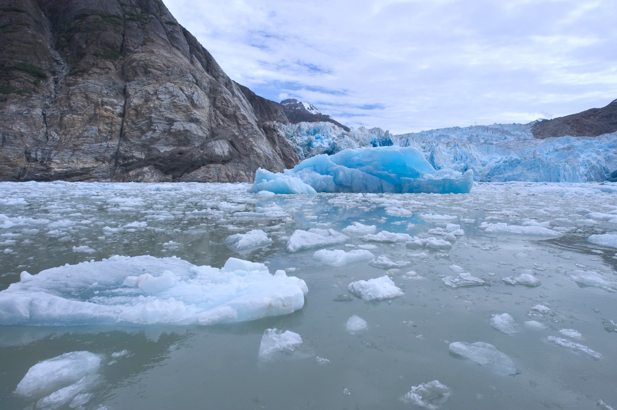
Seen on Tracy Arm glacier cruises.
Glacier
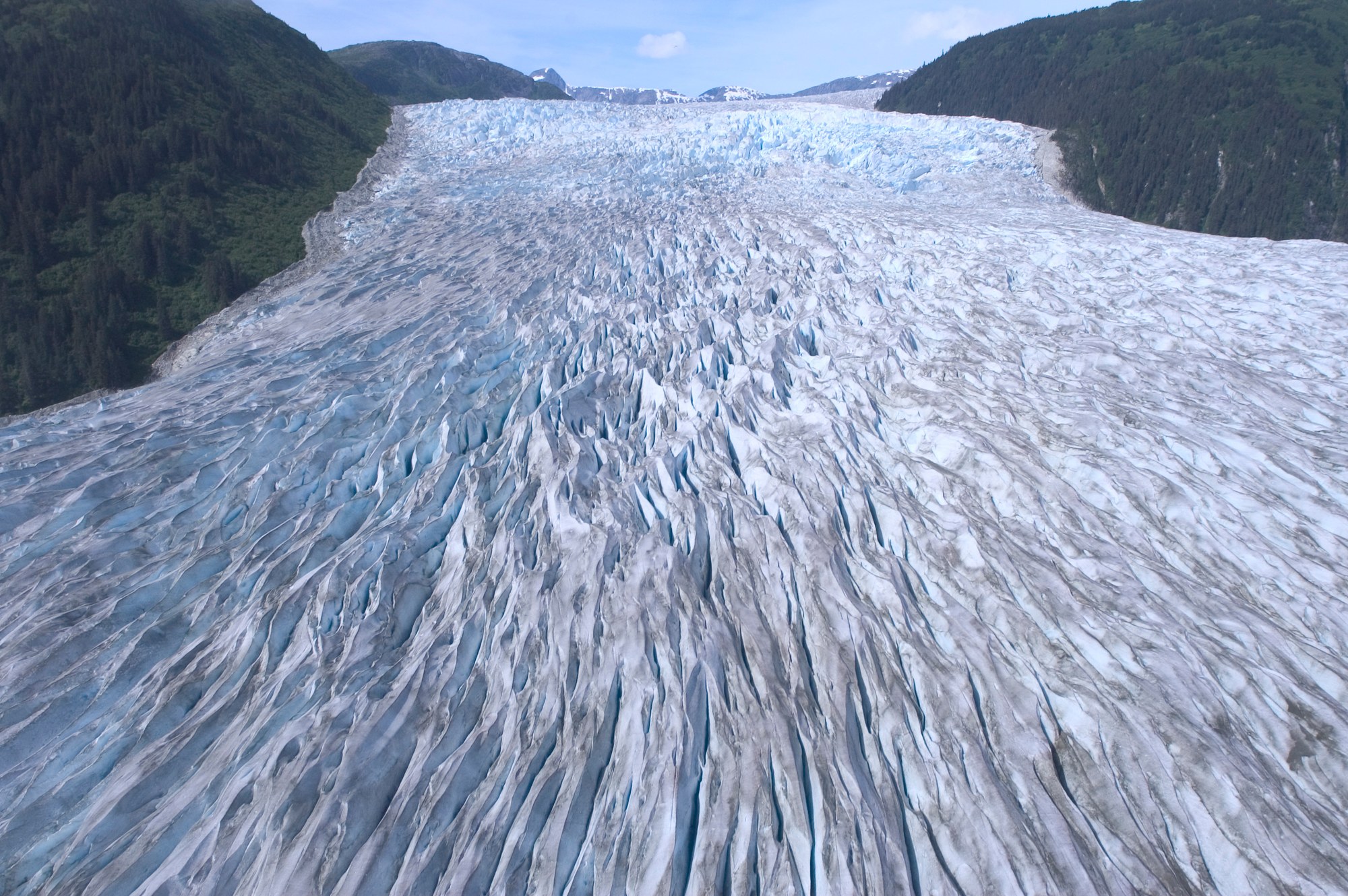
Fed by the Juneau Icefield.

Glacier
Brady Icefield tidewater glacier marked by a 2015 landslide and a receding blue ice face.

Glacier
Fast-flowing 21-mile tidewater glacier at the head of Tarr Inlet, a highlight of Glacier Bay cruises.

Glacier
Mile-wide tidewater glacier filling the head of Johns Hopkins Inlet, with seals on the ice.
Glacier
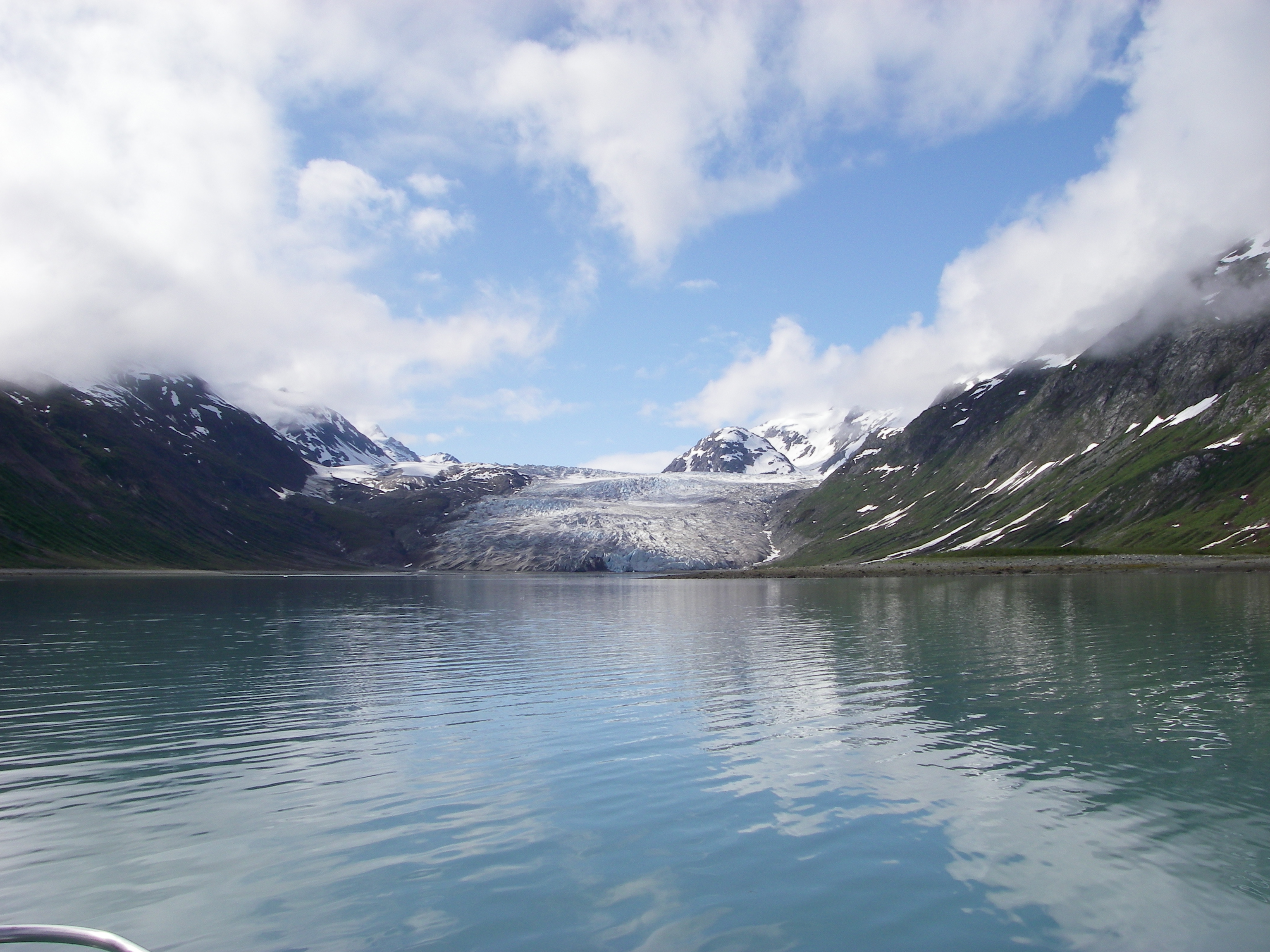
Slow-moving glacier at the head of quiet Reid Inlet, a favorite kayak and boat anchorage.

Glacier
Debris-covered glacier at the head of Tarr Inlet that carved Glacier Bay.
Hot spring
Remote soaking tub at the end of a 0.2-mile boardwalk on Chichagof Island, reached via Eight Fathom Dock.

Gold mine
Ruins of the Douglas Island complex that was once the largest hard-rock gold mine in the world.
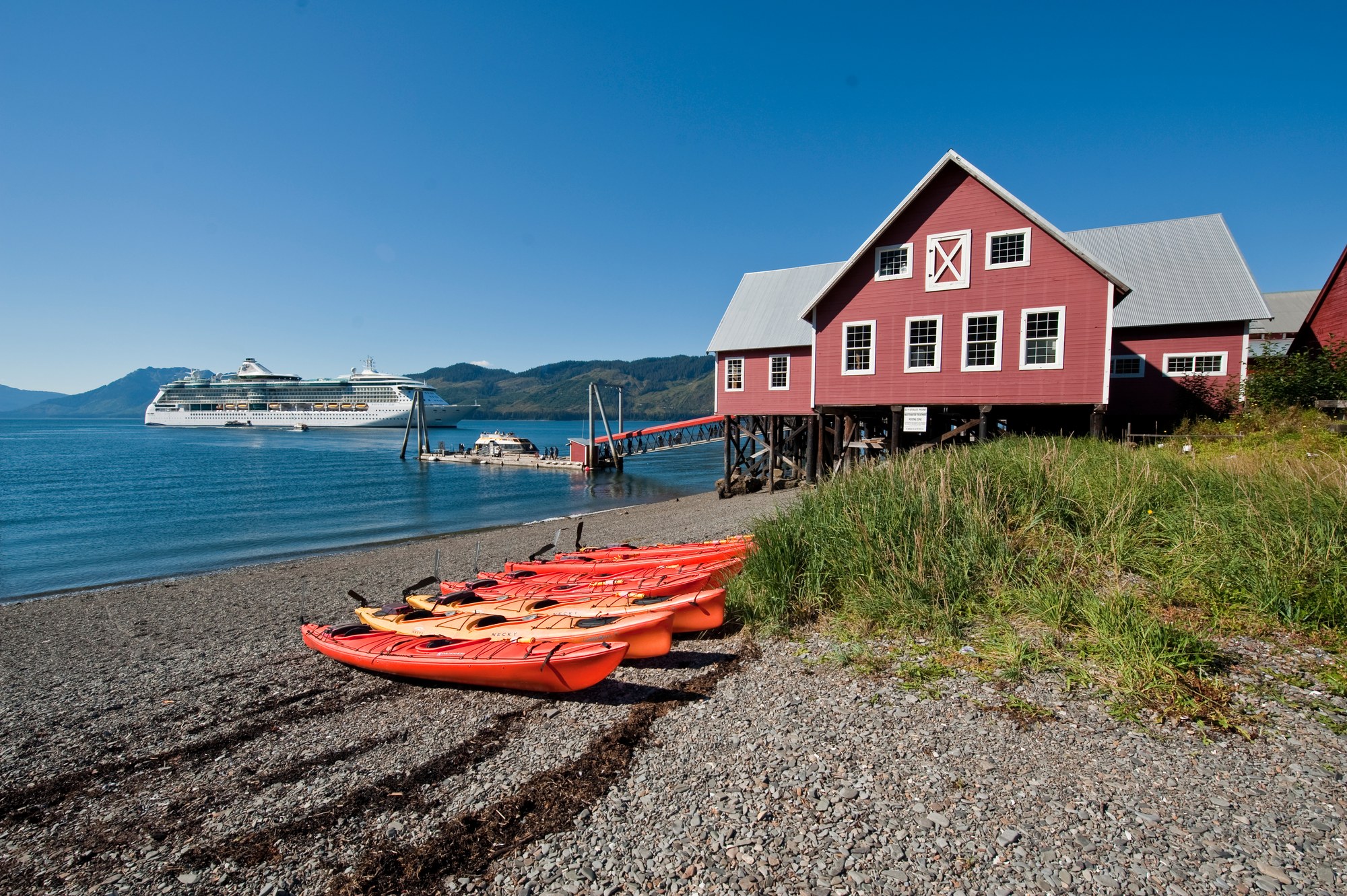
Native village
Tlingit community on Chichagof Island, home of the Huna Tlingit whose homeland includes Glacier Bay.

Viewpoint
The first visitor center in the National Forest System, facing Mendenhall Glacier and Nugget Falls.
Viewpoint
4,000-acre tidal refuge beside the airport with more than 140 bird species.
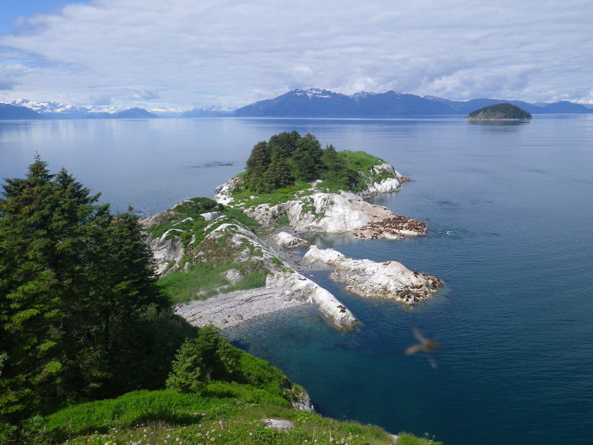
Viewpoint
Seabird colony and Steller sea lion haul-out near Sitakaday Narrows; view only from the water.
Explore
The local skyline shapes weather and access.

Mountain
15,300-ft coastal giant on the Alaska–British Columbia border, visible from Bartlett Cove.
Mountain
High point of the Juneau Icefield.
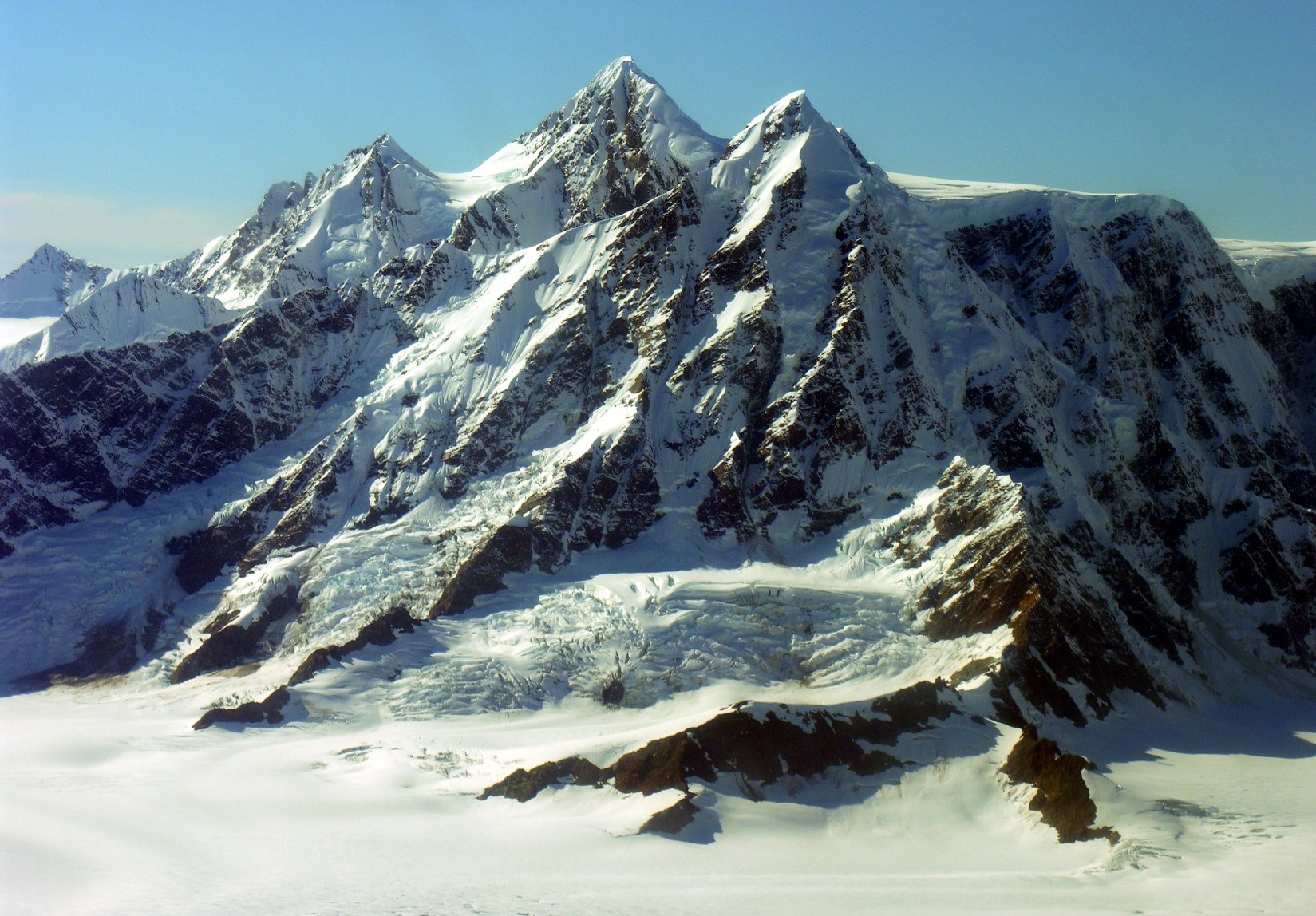
Mountain
Fairweather Range peak.
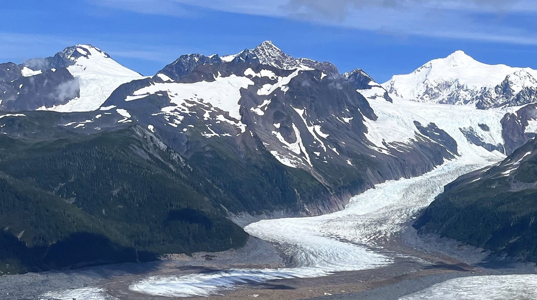
Mountain
Fairweather Range peak.
Explore
Protected lands have different access, camping and activity rules.
national forest
Land manager: USFS
national monument
Land manager: USFS
national park
Land manager: NPS
state park
Land manager: Alaska State Parks
Explore
Trails run from paved glacier walks to rough cabin approaches; stay on trail, as off-trail hikers are rescued every year.
Trail
Four-mile round trip along a lagoon to the Bartlett River estuary.
4.0 mi
Trail
Unmaintained route from Montana Creek Road to Windfall Lake; rockslides and damaged bridges.
Trail
Less-maintained full-day trail over a moraine to Bartlett Lake.
8.0 mi

Trail
Trail along the west side of Mendenhall Lake to a rock outcrop above the glacier.
3.5 mi
Trail
Juneau’s most popular trail, up Gold Creek from Basin Road to Silverbow Basin and the Perseverance Mine ruins.
3.0 mi

Trail
Wide gravel path up the Herbert River valley to a moraine below Herbert Glacier; good for mountain bikes.
4.9 mi
Trail
Forest trail along the Herbert River to Windfall Lake and its public-use cabin.
3.2 mi
Trail
Rough, wet 7-mile trail past beaver ponds and meadows to Eagle Glacier and its cabin.
7.0 mi
Trail
Muddy 4.3-mile trail on an old mining tram route to Peterson Lake Cabin.
4.3 mi
Trail
Planked Douglas Island trail climbing to an alpine bowl and the Dan Moller Cabin.
3.0 mi
Trail
Mostly level trail along the old Treadwell Mine water ditch across Douglas Island.
10.4 mi
Trail
Partly planked 3-mile climb through muskeg to the John Muir Cabin above Auke Bay.
3.0 mi
Trail
Wilderness trail across north Admiralty Island linking Admiralty Cove and Young Lake cabins.
4.8 mi
Trail
One-mile trail from the Pack Creek bear-viewing tower; permit required in season.
1.0 mi

Trail
One-mile rainforest and beach loop at Glacier Bay headquarters, with daily ranger walks.
1.0 mi
Trail
Half-mile shoreline stroll past a dugout canoe, whale skeleton and the Huna Tribal House.
0.5 mi

Trail
Loop above the east side of Mendenhall Lake with glacier views and a side trip to A-J Falls.
2.8 mi

Trail
Flat 0.8-mile walk along Mendenhall Lake to the foot of Nugget Falls.
0.8 mi
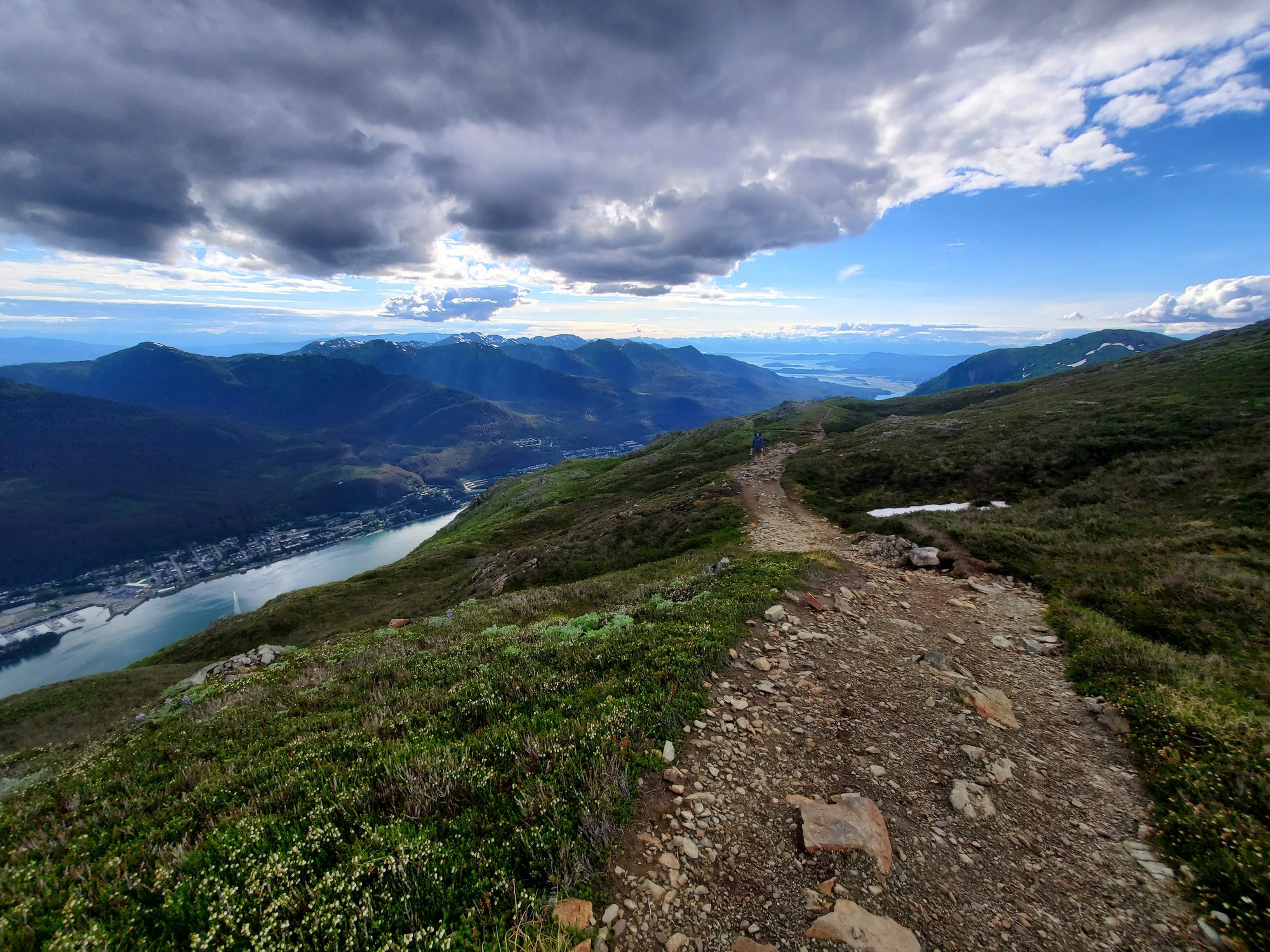
Trail
Switchbacking climb from Basin Road to the Mountain House and Mount Roberts summit.
4.5 mi
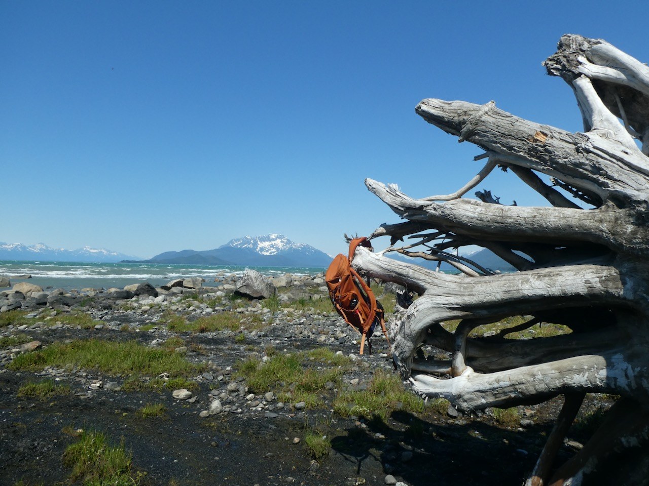
Trail
Muskeg, meadow and beach trail to Berners Bay and Point Bridget, with three state cabins.
3.4 mi
Shelter / lean-to
CCC-era three-sided shelter on Seymour Canal, Admiralty Island.
Shelter / lean-to
First-come emergency shelter on Icy Strait at the north tip of Chichagof Island.
Explore
Juneau has roadside lakes, trail-access cabins and fly-in wilderness lakes; check the current ADF&G Juneau and Glacier Bay booklet and emergency orders.
Fishing spot
Saltwater fishing from Elfin Cove and Gustavus.
Fishing spot
In-town Juneau lake where bait is allowed year-round; stocked-size salmon and trout limits.
Fishing spot
North Douglas Island pond with a summer king salmon fishery.
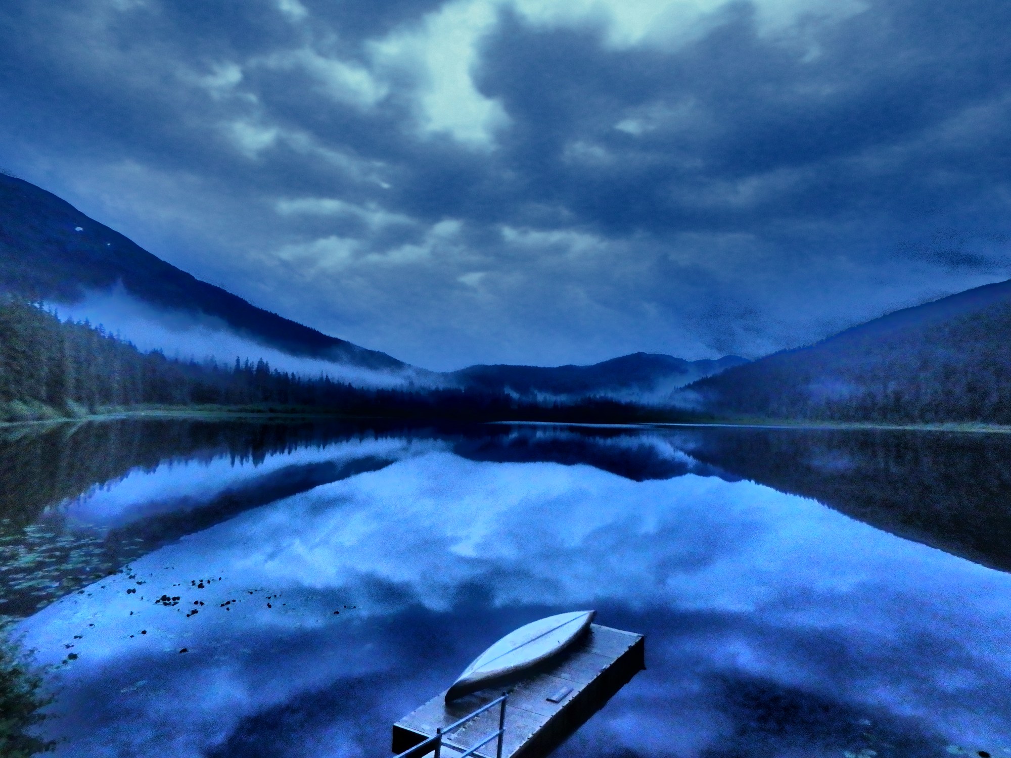
Fishing spot
Trail-access lake with a cabin; lures only and catch-and-release sockeye.
Fishing spot
Fly-in wilderness lake with two cabins and skiffs; trout slot limit.
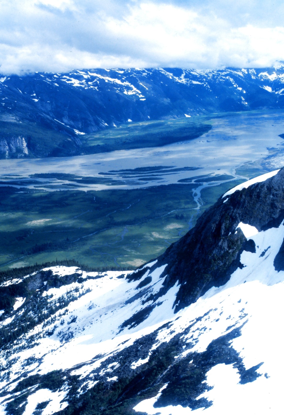
River
Mainland river near Juneau known for kings.
A field companion
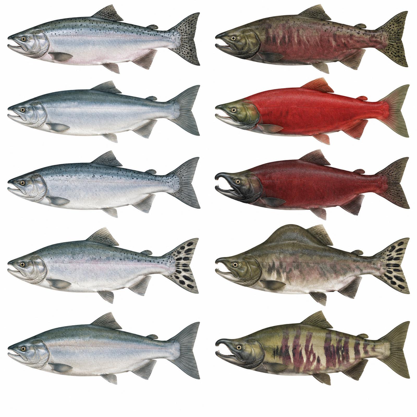
King
Usually 10–20 lb
Red
About 4–8 lb
Silver
Usually 8–12 lb
Humpy
Average 3.5–5 lb
Dog / Keta
About 6–12 lb
Illustrations are interpretive; identify fish by several traits together, not pupil shape alone. Adult sizes vary by stock. Official ADF&G identification chart
Current ADF&G sport-fishing regulations and emergency orders
Explore
Most of the area falls in Game Management Unit 1C, with permit hunts for brown bear, goat and moose.
Seasons, permits and land restrictions change. Check current Alaska Department of Fish and Game regulations before planning a hunt.
Explore
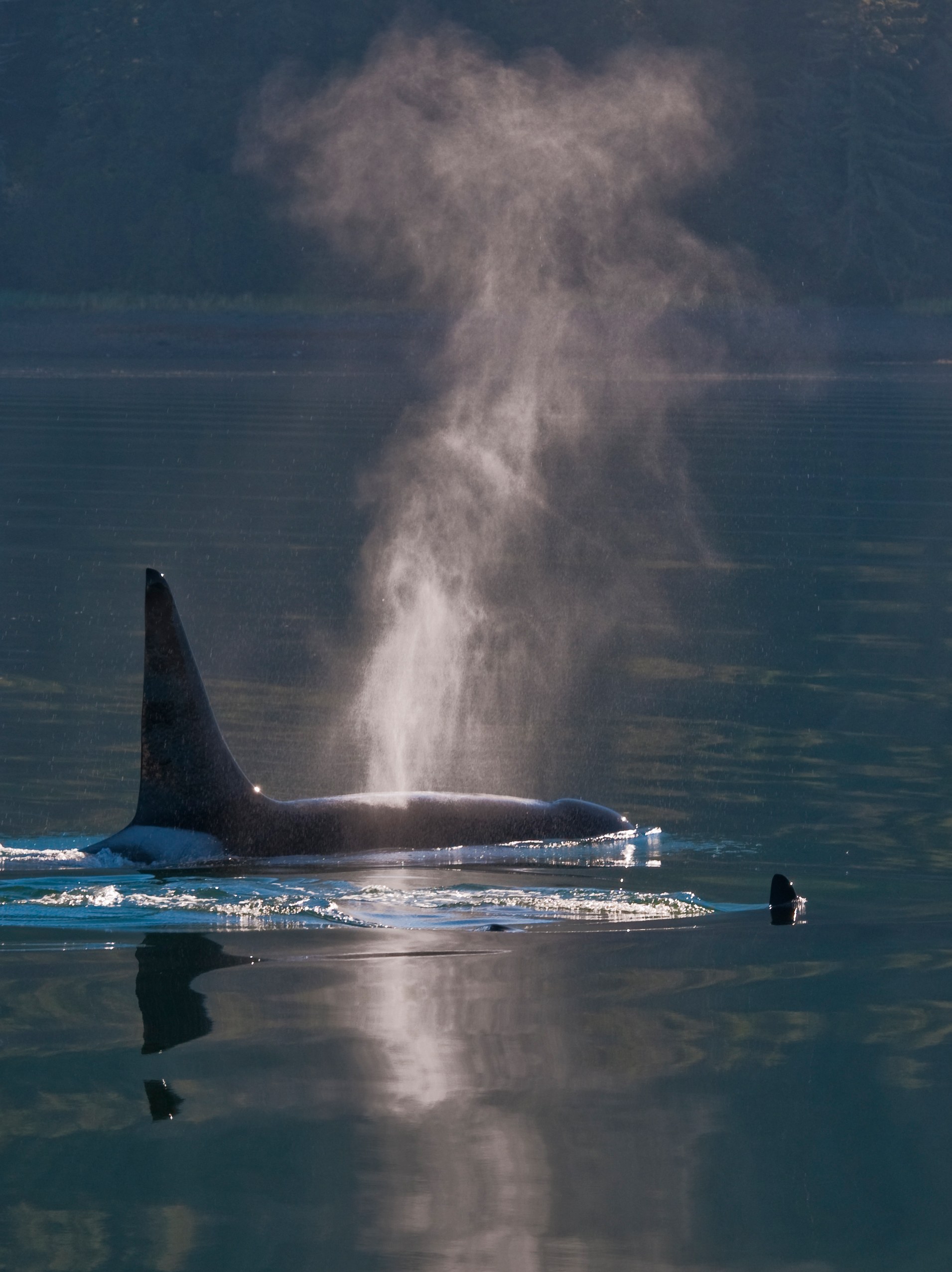
Bears, whales, goats and seabirds are all within a day trip of Juneau.

Bear viewing site
Permit-only brown bear viewing on Admiralty Island, managed jointly by the Forest Service and ADF&G.
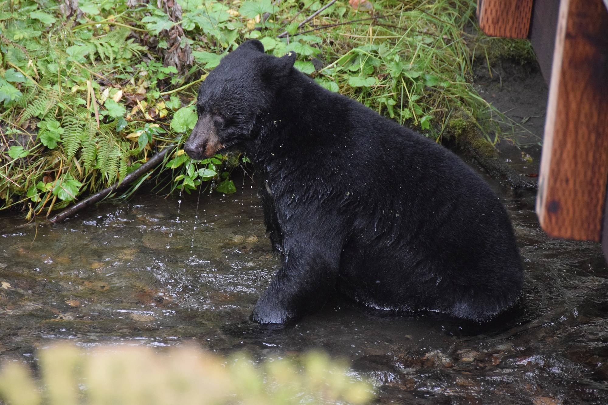
Bear viewing site
Elevated walkways beside the Mendenhall Glacier Visitor Center where black and brown bears fish for salmon.
Explore
A four-wheel-drive vehicle does not create a right to drive off-road.
Juneau has local roads only; Glacier Bay has no through-road.
Conditions: Verify seasonal openings, washouts and land permissions.
Vehicle: Check rental exclusions; do not enter uncertain water crossings.
Content coming soon
Explore
Water trips require cold-water equipment and a realistic evacuation plan.
Explore
Road camping is limited and seasonal, so book ahead or plan on a cabin.

Campground
Free walk-in shoreline campground at Glacier Bay park headquarters; orientation required.

Campground
Forested first-come state campground at the mouth of Eagle River, 27 miles north of Juneau.

Campground
Small beachside Forest Service campground on a former Auk Tlingit village site north of the ferry terminal.
Campground
Lakeshore Forest Service campground facing Mendenhall Glacier, with RV hookups, showers and walk-in sites.
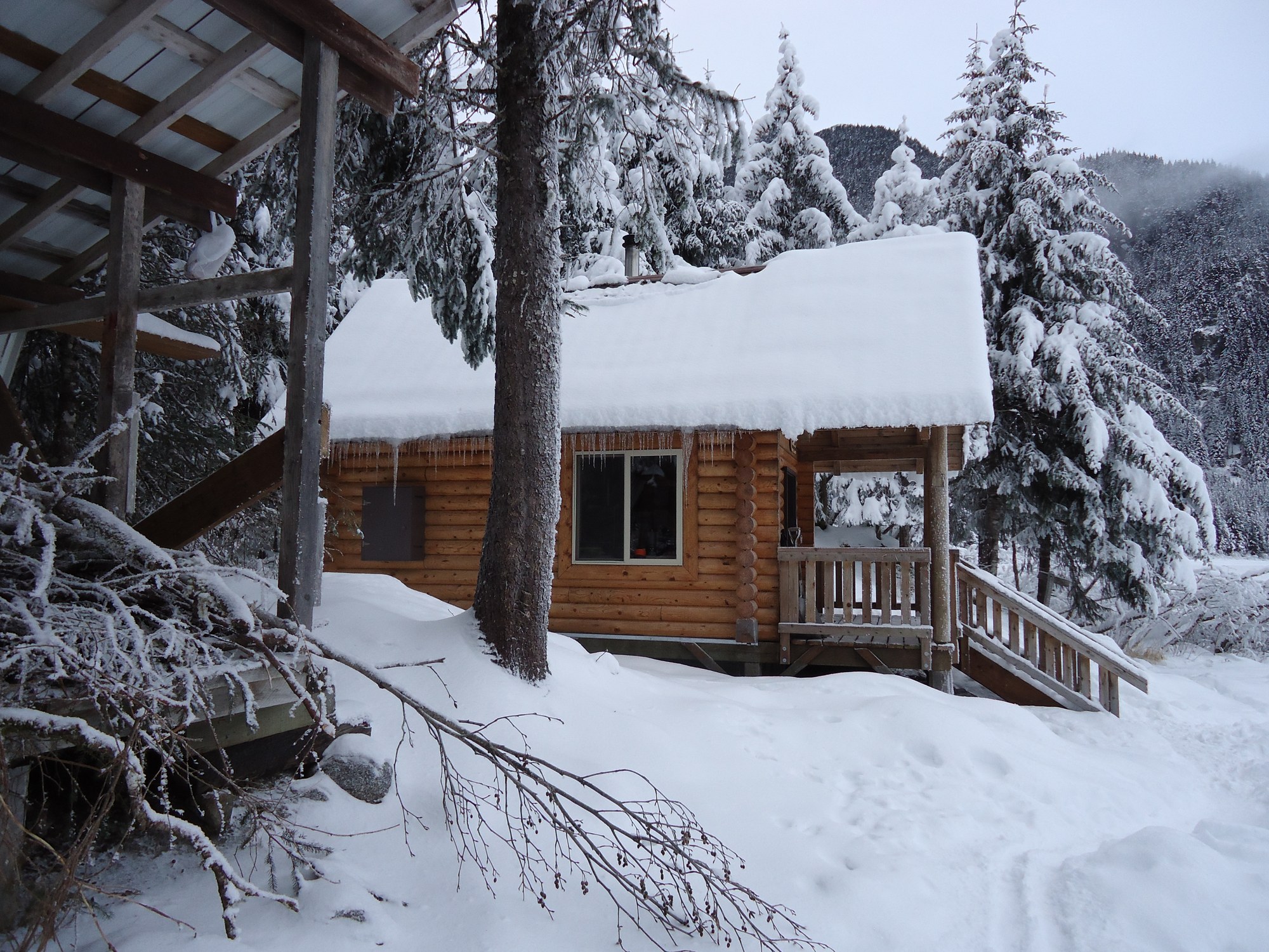
Public-use cabin
Log chalet on Eagle Lake facing Eagle Glacier, 5.5 miles up the Amalga Trail.
Public-use cabin
Red-cedar cabin by the public dock in Taku Harbor State Marine Park.
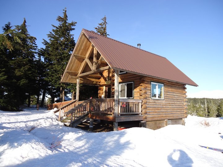
Public-use cabin
Chalet-style ridge cabin above Auke Bay, reached by a 3-mile climbing trail.

Public-use cabin
Two-level Douglas Island cabin in an alpine bowl, 3 miles up the Dan Moller Trail.

Public-use cabin
Accessible lakeside cabin at the end of the Peterson Lake Trail, also reachable by floatplane.

Public-use cabin
Accessible lake cabin on the Windfall Lake Trail with a dock and boardwalk.
Public-use cabin
Saltwater beach cabin on Berners Bay, reached by boat or floatplane from Echo Cove.
Public-use cabin
Wheelchair-accessible beach cabin with a view of Taku Glacier.

Public-use cabin
Fly-in lake cabin with two rowboats, 40 minutes by floatplane from Juneau.
Public-use cabin
Stone-and-log chalet on Turner Lake with a fireplace and two rowboats.
Public-use cabin
Year-round cabin in Mendenhall Lake Campground, in view of the glacier.
Public-use cabin
Wilderness beach cabin on north Admiralty Island, 15 minutes by floatplane from Juneau.
Public-use cabin
Fly-in lake cabin on north Admiralty Island with a skiff; trout and coho fishing.
Public-use cabin
Floatplane-access cabin at the south end of Young Lake with a skiff.
Public-use cabin
Canoe-route cabin on Lake Alexander in central Admiralty Island.
Public-use cabin
Accessible saltwater cabin on Port Frederick, a short hop from Hoonah.
Public-use cabin
Road-accessible cedar cabin on Freshwater Bay, 27 gravel miles from Hoonah.
Public-use cabin
State park cabin beside the Eagle Beach parking lot, 28 miles north of Juneau.
Public-use cabin
Accessible Eagle Beach cabin a quarter mile along the campground road.
Public-use cabin
Small Eagle Beach cabin on the campground back loop.
Public-use cabin
Point Bridget State Park cabin 2.5 miles from the mile 39 trailhead.
Public-use cabin
Point Bridget beach cabin 3.4 miles from the trailhead.
Public-use cabin
Point Bridget cabin 3.75 miles from the trailhead.
Public-use cabin
State marine park cabin at the head of Seymour Canal, reached via the Oliver Inlet tram.
Shelter / lean-to
CCC-era three-sided shelter on Seymour Canal, Admiralty Island.
Shelter / lean-to
First-come emergency shelter on Icy Strait at the north tip of Chichagof Island.
Explore
Local operators and cultural institutions offer different ways to explore.
Operator
Juneau-based scheduled commuter, charter and cargo airline serving Southeast Alaska towns and villages.
Operator
Juneau-based floatplane and wheel charter service for cabins, Admiralty Island and Glacier Bay flightseeing.
Operator
Aerial tram from the downtown cruise dock 1,800 feet up Mount Roberts; temporarily closed for maintenance in 2026.
Lodge
A Hawaiian-owned fishing lodge on Shelter Island, a 20-minute boat ride from Auke Bay in Juneau. Guests fish for five salmon species, halibut, rockfish and black cod, and humpback whales are often seen nearby.
Lodge
An all-inclusive fly-in lodge in a secluded bay at the southern edge of Admiralty Island National Monument. It combines guided salmon and halibut fishing with whale watching and brown bear viewing.
Lodge
The only lodging inside Glacier Bay National Park, set in the spruce forest at Bartlett Cove near Gustavus. It is a base for full-day glacier cruises, ranger programs, kayaking and wildlife viewing.
Lodge
A log lodge in Gustavus with 14 rooms and all meals included, backed by Glacier Bay National Park. Guests come for whale watching, Glacier Bay tours, wildlife viewing and sport fishing.
Lodge
An off-grid, family-owned wilderness lodge founded in 1947 on Thayer Lake in the interior of Admiralty Island, which the Tlingit call the 'Fortress of the Bears.' It offers rainforest solitude, canoeing, stream fishing and brown bear habitat.
Lodge
A floatplane-access, multi-boat fishing lodge in the boardwalk village of Elfin Cove on northern Chichagof Island, at the mouth of Cross Sound. Guests target halibut, king and silver salmon and rockfish.
Explore
Everyone arrives by air or sea; Juneau has no road link to the rest of North America.
Airport
Gateway airport for Glacier Bay, with seasonal jet service from Juneau and year-round small-plane flights.
Airport
Small state airport a mile from Hoonah, with several daily Alaska Seaplanes flights to Juneau.
Airport
Southeast Alaska’s main hub, 7 miles northwest of downtown, with jet, commuter and floatplane service.
Floatplane base
Floatplane water lane beside Juneau International Airport, used by charter operators.
Ferry terminal
Alaska Marine Highway terminal at Auke Bay, 13 miles from downtown Juneau.
Ferry terminal
State dock at Gustavus, the ferry gateway to Glacier Bay National Park.
Gallery

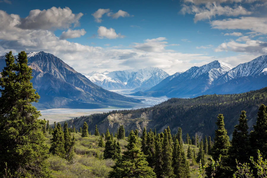

Southeast / Inside Passage
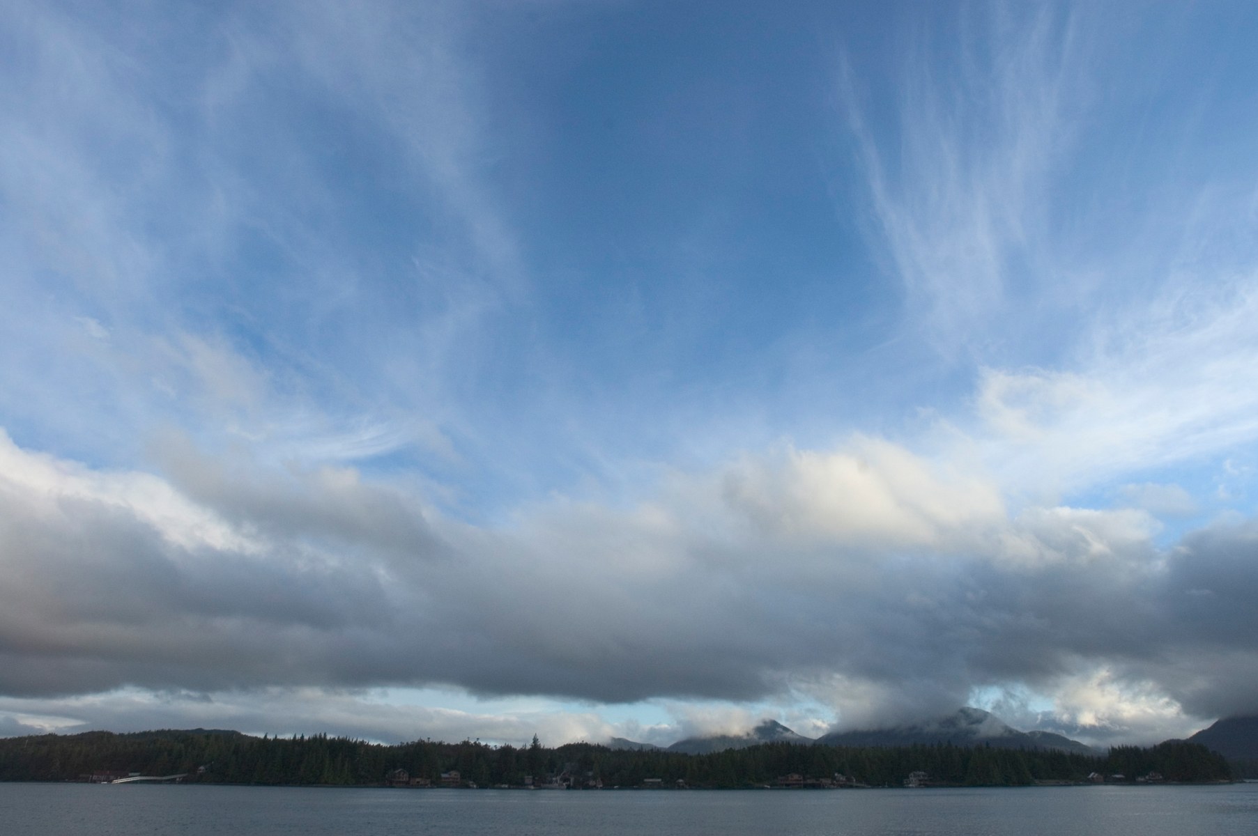
Ketchikan is a fishing port and cultural hub on Revillagigedo Island. Misty Fjords' granite walls, lakes and rainforest lie east of town.

A large, roadable Tongass island with Haida and Tlingit villages, totem parks, El Capitan Cave, steelhead rivers and more than 20 public-use cabins.
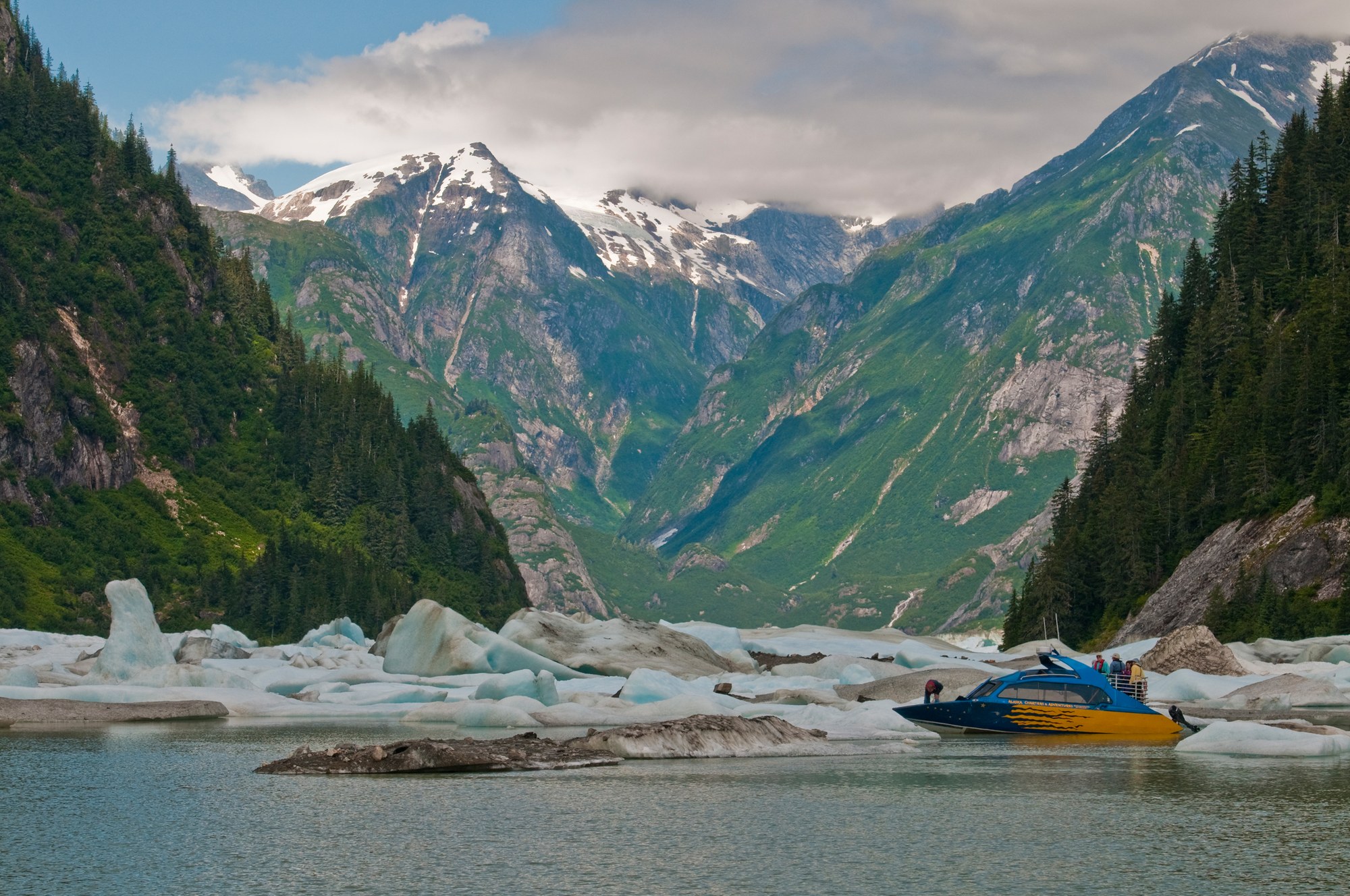
Fishing towns beside the Stikine River delta, with LeConte Glacier, Anan bear viewing, Tongass cabins and road camps on Mitkof and Wrangell islands.
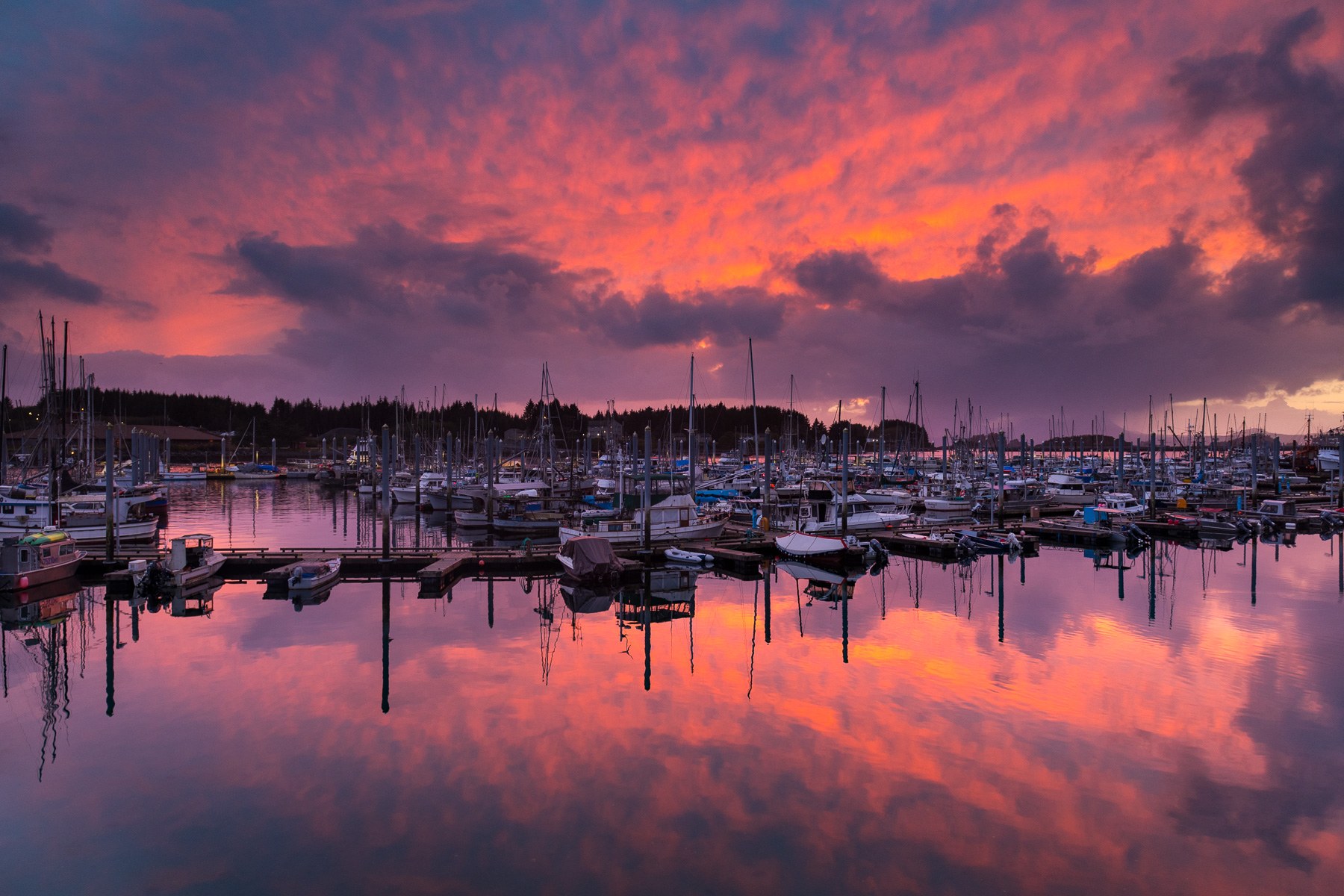
Pacific-facing Sitka pairs living Tlingit culture and Russian-era landmarks with rainforest trails, island cabins and boat trips on Sitka Sound.
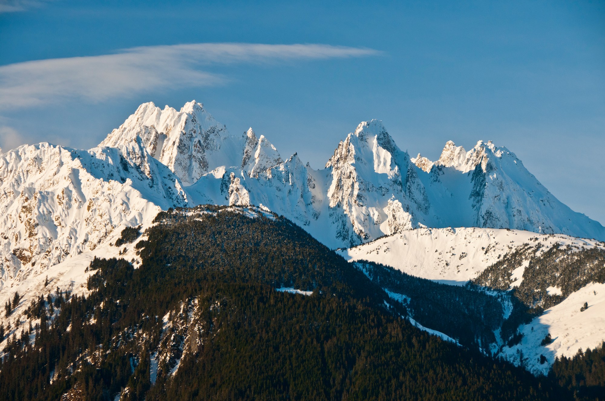
Haines sits on the Chilkat Peninsula between the Chilkat and Chilkoot rivers, below the Chilkat Range, with the Haines Highway running north past the Alaska Chilkat Bald Eagle Preserve into Canada.
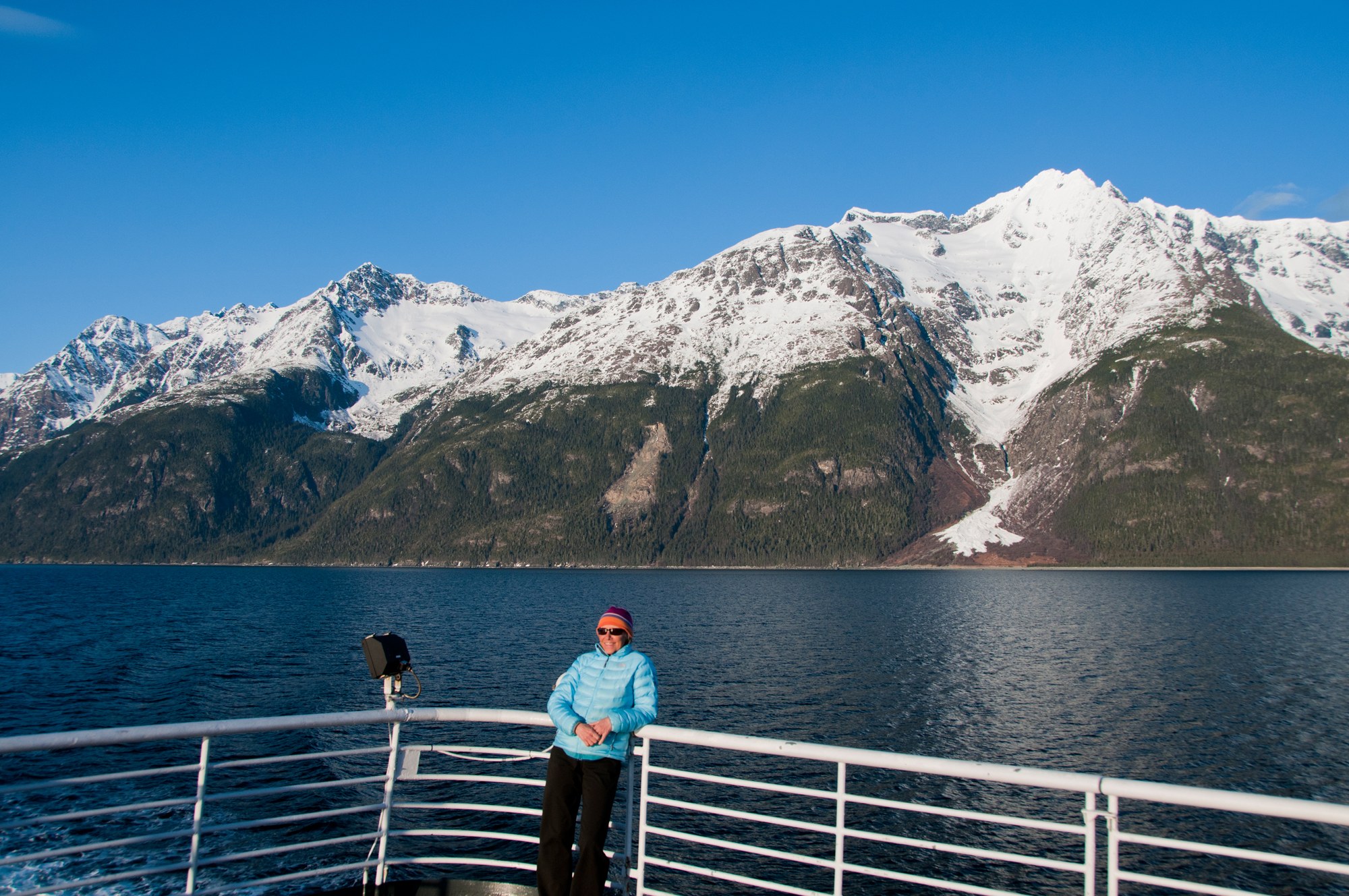
Skagway sits at the head of Taiya Inlet, the gold rush gateway to the Chilkoot Trail and White Pass, with a preserved boardwalk historic district, the White Pass & Yukon Route railway and the Dyea townsite nearby.

A Tlingit town on the Gulf of Alaska between the Saint Elias Mountains and the sea, with the Situk River's steelhead and salmon, surf beaches, Hubbard Glacier and the Malaspina Forelands.