Trail
Point Bridget Trail
- Distance
- 3.4 mi
- Difficulty
- Moderate
- Route type
- Out and back
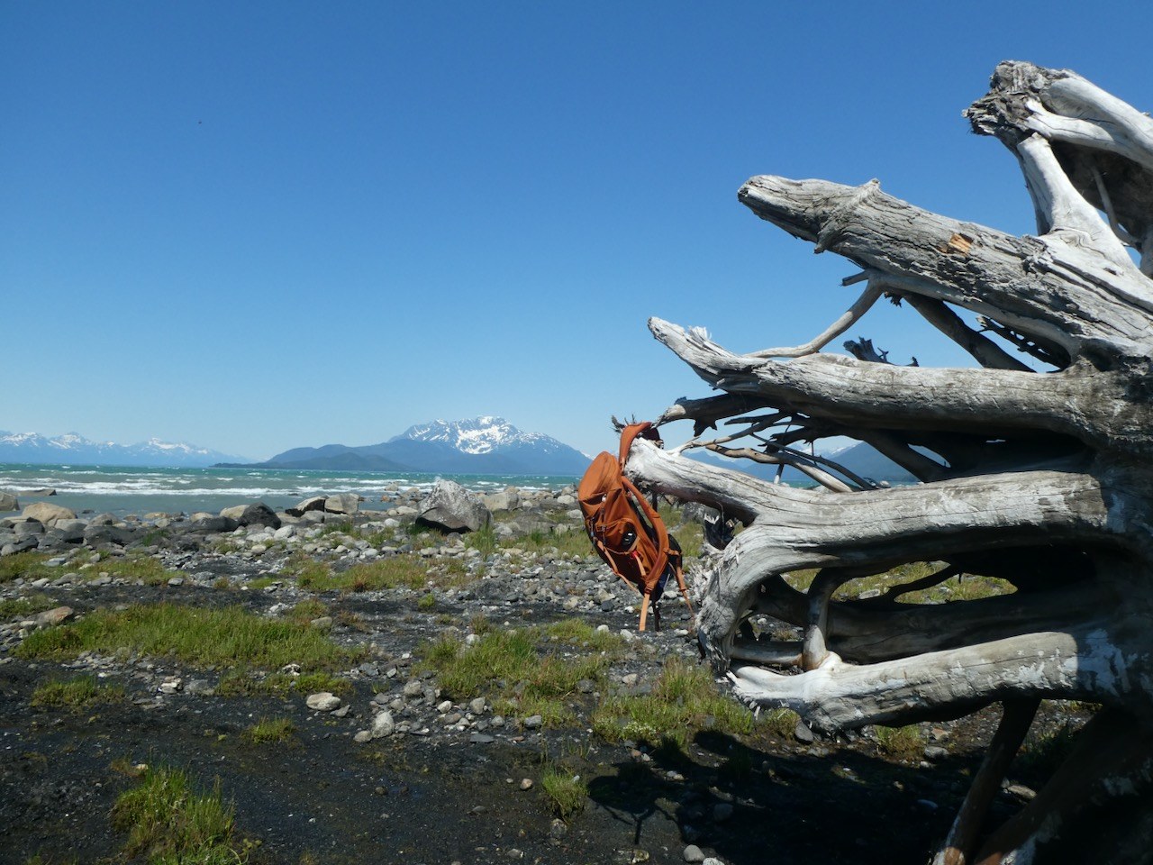
Muskeg, meadow and beach trail to Berners Bay and Point Bridget, with three state cabins.
3.4 mi
Public-use cabin
Point Bridget beach cabin 3.4 miles from the trailhead.
Point Bridget State Park · Alaska State Parks
A 12 × 16 ft cabin above a rocky Berners Bay beach in Point Bridget State Park. Hike 3.4 miles from the mile 39 Glacier Highway trailhead, or haul a small boat onto the beach. Sleeps eight; bring kerosene for the stove. Water is snow in winter or a nearby creek in summer that can run dry, so carry a supply. $60 per night.
Cabins
Last updated 2026-11-09
Public-use cabin
Point Bridget State Park cabin 2.5 miles from the mile 39 trailhead.
0.9 mi
Public-use cabin
Point Bridget cabin 3.75 miles from the trailhead.
2.1 mi
Public-use cabin
Saltwater beach cabin on Berners Bay, reached by boat or floatplane from Echo Cove.
6.7 mi
Public-use cabin
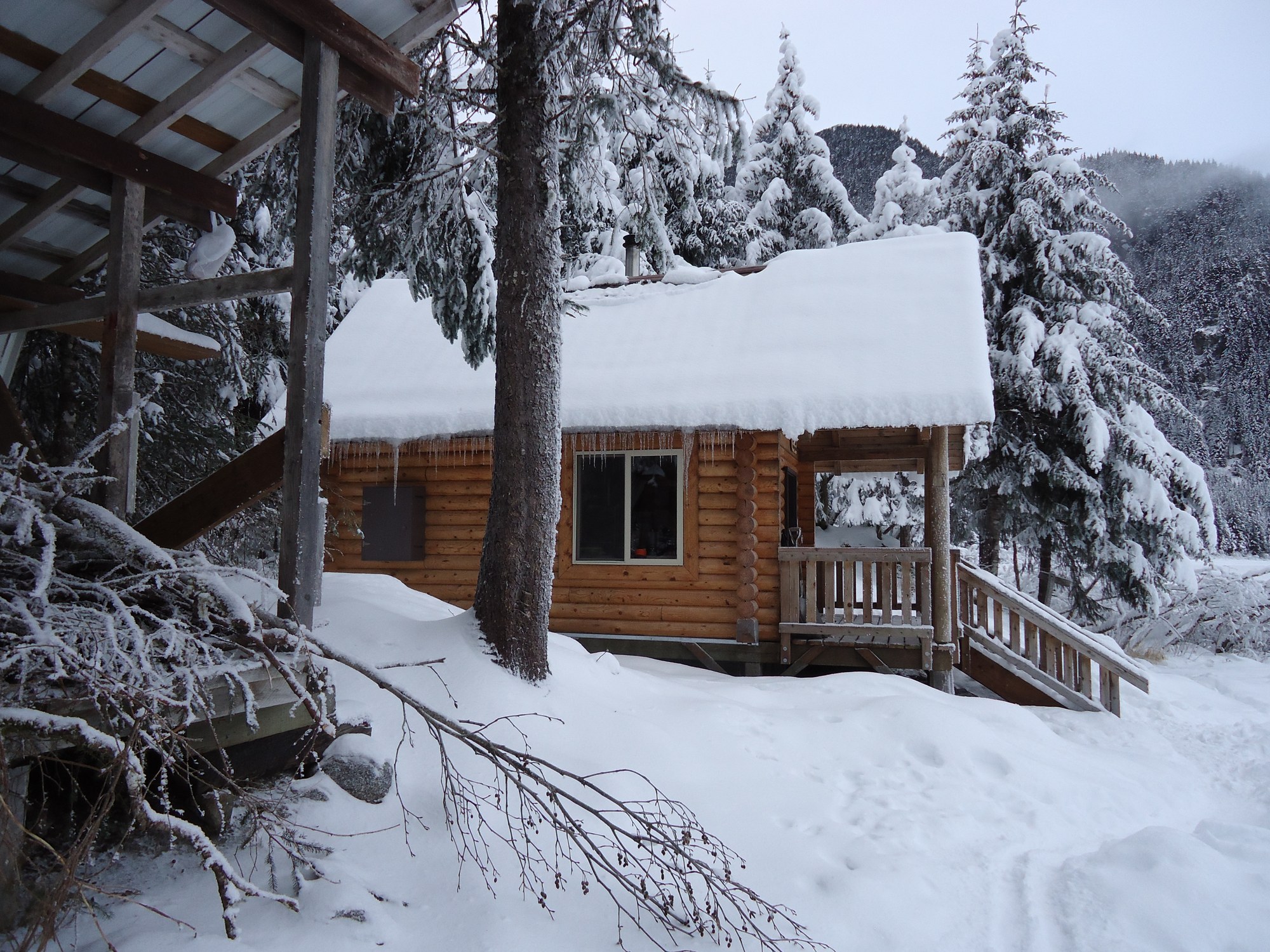
Log chalet on Eagle Lake facing Eagle Glacier, 5.5 miles up the Amalga Trail.
11.2 mi
Public-use cabin
State park cabin beside the Eagle Beach parking lot, 28 miles north of Juneau.
12.2 mi
Public-use cabin
Accessible Eagle Beach cabin a quarter mile along the campground road.
12.4 mi
Public-use cabin
Small Eagle Beach cabin on the campground back loop.
12.4 mi

Public-use cabin
Accessible lake cabin on the Windfall Lake Trail with a dock and boardwalk.
15.1 mi

Public-use cabin
Accessible lakeside cabin at the end of the Peterson Lake Trail, also reachable by floatplane.
19.0 mi
Public-use cabin
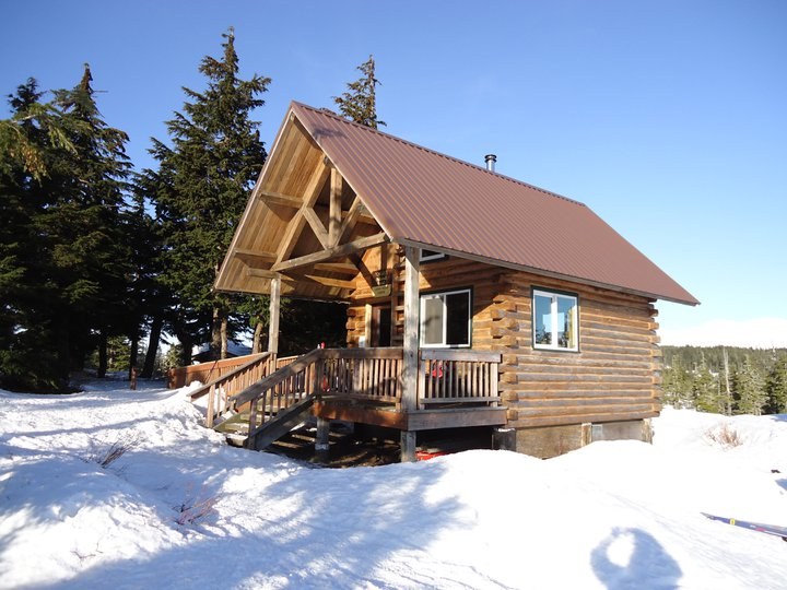
Chalet-style ridge cabin above Auke Bay, reached by a 3-mile climbing trail.
21.4 mi
Public-use cabin
Year-round cabin in Mendenhall Lake Campground, in view of the glacier.
23.4 mi

Campground
Forested first-come state campground at the mouth of Eagle River, 27 miles north of Juneau.
12.2 mi

Campground
Small beachside Forest Service campground on a former Auk Tlingit village site north of the ferry terminal.
22.9 mi

Campground
Lakeshore Forest Service campground facing Mendenhall Glacier, with RV hookups, showers and walk-in sites.
23.2 mi
Trail
Rough, wet 7-mile trail past beaver ponds and meadows to Eagle Glacier and its cabin.
12.2 mi

Trail
Wide gravel path up the Herbert River valley to a moraine below Herbert Glacier; good for mountain bikes.
12.5 mi
Trail
Muddy 4.3-mile trail on an old mining tram route to Peterson Lake Cabin.
15.4 mi
Trail
Trail along the west side of Mendenhall Lake to a rock outcrop above the glacier.
23.0 mi
Trail
Partly planked 3-mile climb through muskeg to the John Muir Cabin above Auke Bay.
23.5 mi

Trail
Flat 0.8-mile walk along Mendenhall Lake to the foot of Nugget Falls.
24.1 mi

Trail
Loop above the east side of Mendenhall Lake with glacier views and a side trip to A-J Falls.
24.1 mi