Trail
Amalga Trail
- Distance
- 0.346388387299421 mi
Rough, wet 7-mile trail past beaver ponds and meadows to Eagle Glacier and its cabin.
0.3 mi

Trail
Wide gravel path up the Herbert River valley to a moraine below Herbert Glacier; good for mountain bikes.
Tongass National Forest · USFS
A 4.9-mile trail from mile 28 Glacier Highway, just past the Herbert River Bridge (parking for about 14 cars), to the moraine near Herbert Glacier. Rebuilt around 2003, the first 3.5 miles have a 6-foot gravel tread that makes an easy mountain bike ride; the last 1.5 miles are more technical. The route shows postglacial plant succession, with younger plant communities closer to the ice. Look for mountain goats on the surrounding cliffs. Never approach the glacier face because of falling ice. No potable water at the trailhead.
Hiking · Biking
Last updated 2026-11-09
Trail
Rough, wet 7-mile trail past beaver ponds and meadows to Eagle Glacier and its cabin.
0.3 mi
Trail
Muddy 4.3-mile trail on an old mining tram route to Peterson Lake Cabin.
3.1 mi

Trail
Trail along the west side of Mendenhall Lake to a rock outcrop above the glacier.
10.6 mi
Trail
Partly planked 3-mile climb through muskeg to the John Muir Cabin above Auke Bay.
11.0 mi

Trail
Flat 0.8-mile walk along Mendenhall Lake to the foot of Nugget Falls.
11.9 mi

Trail
Loop above the east side of Mendenhall Lake with glacier views and a side trip to A-J Falls.
11.9 mi
Trail
Planked Douglas Island trail climbing to an alpine bowl and the Dan Moller Cabin.
21.0 mi
Public-use cabin
Small Eagle Beach cabin on the campground back loop.
0.4 mi
Public-use cabin
Accessible Eagle Beach cabin a quarter mile along the campground road.
0.6 mi
Public-use cabin
State park cabin beside the Eagle Beach parking lot, 28 miles north of Juneau.
0.7 mi

Public-use cabin
Accessible lake cabin on the Windfall Lake Trail with a dock and boardwalk.
2.9 mi
Public-use cabin
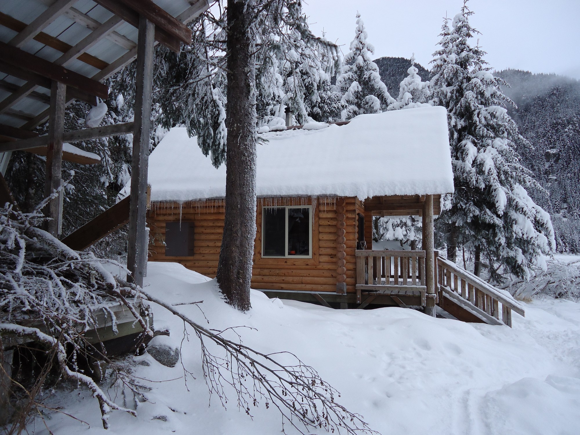
Log chalet on Eagle Lake facing Eagle Glacier, 5.5 miles up the Amalga Trail.
3.7 mi

Public-use cabin
Accessible lakeside cabin at the end of the Peterson Lake Trail, also reachable by floatplane.
6.6 mi
Public-use cabin
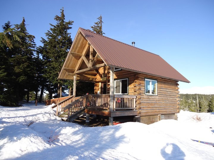
Chalet-style ridge cabin above Auke Bay, reached by a 3-mile climbing trail.
8.9 mi
Public-use cabin
Point Bridget cabin 3.75 miles from the trailhead.
10.5 mi
Public-use cabin
Year-round cabin in Mendenhall Lake Campground, in view of the glacier.
11.0 mi
Public-use cabin
Point Bridget State Park cabin 2.5 miles from the mile 39 trailhead.
11.7 mi
Public-use cabin
Point Bridget beach cabin 3.4 miles from the trailhead.
12.5 mi
Public-use cabin
Saltwater beach cabin on Berners Bay, reached by boat or floatplane from Echo Cove.
17.7 mi

Public-use cabin
Two-level Douglas Island cabin in an alpine bowl, 3 miles up the Dan Moller Trail.
22.0 mi

Campground
Forested first-come state campground at the mouth of Eagle River, 27 miles north of Juneau.
0.7 mi

Campground
Small beachside Forest Service campground on a former Auk Tlingit village site north of the ferry terminal.
10.7 mi
Campground
Lakeshore Forest Service campground facing Mendenhall Glacier, with RV hookups, showers and walk-in sites.
10.8 mi