

Viewpoint
Mendenhall Glacier Visitor Center
The first visitor center in the National Forest System, facing Mendenhall Glacier and Nugget Falls.
0.0 mi

Trail
Flat 0.8-mile walk along Mendenhall Lake to the foot of Nugget Falls.
Tongass National Forest · USFS
A low-gradient 0.8-mile trail, completed in 2010, that branches off the Photo Point Trail near the Mendenhall Glacier Visitor Center and skirts the lake flats to Nugget Falls. The tread sits above high water. Look for mountain goats on the cliffs and icebergs on the lake. About 30 minutes each way.
Hiking · Wildlife viewing
Last updated 2026-11-09

Trail
Loop above the east side of Mendenhall Lake with glacier views and a side trip to A-J Falls.
0.0 mi

Trail
Trail along the west side of Mendenhall Lake to a rock outcrop above the glacier.
1.6 mi
Trail
Partly planked 3-mile climb through muskeg to the John Muir Cabin above Auke Bay.
4.5 mi
Trail
Planked Douglas Island trail climbing to an alpine bowl and the Dan Moller Cabin.
9.6 mi
Trail
Muddy 4.3-mile trail on an old mining tram route to Peterson Lake Cabin.
9.7 mi

Trail
Wide gravel path up the Herbert River valley to a moraine below Herbert Glacier; good for mountain bikes.
11.9 mi
Trail
Rough, wet 7-mile trail past beaver ponds and meadows to Eagle Glacier and its cabin.
12.2 mi
Trail
Wilderness trail across north Admiralty Island linking Admiralty Cove and Young Lake cabins.
16.7 mi
Public-use cabin
Year-round cabin in Mendenhall Lake Campground, in view of the glacier.
1.4 mi
Public-use cabin
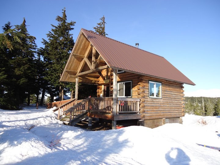
Chalet-style ridge cabin above Auke Bay, reached by a 3-mile climbing trail.
5.6 mi

Public-use cabin
Accessible lakeside cabin at the end of the Peterson Lake Trail, also reachable by floatplane.
7.0 mi

Public-use cabin
Accessible lake cabin on the Windfall Lake Trail with a dock and boardwalk.
9.0 mi

Public-use cabin
Two-level Douglas Island cabin in an alpine bowl, 3 miles up the Dan Moller Trail.
11.2 mi
Public-use cabin
Small Eagle Beach cabin on the campground back loop.
12.1 mi
Public-use cabin
Accessible Eagle Beach cabin a quarter mile along the campground road.
12.2 mi
Public-use cabin
State park cabin beside the Eagle Beach parking lot, 28 miles north of Juneau.
12.3 mi
Public-use cabin
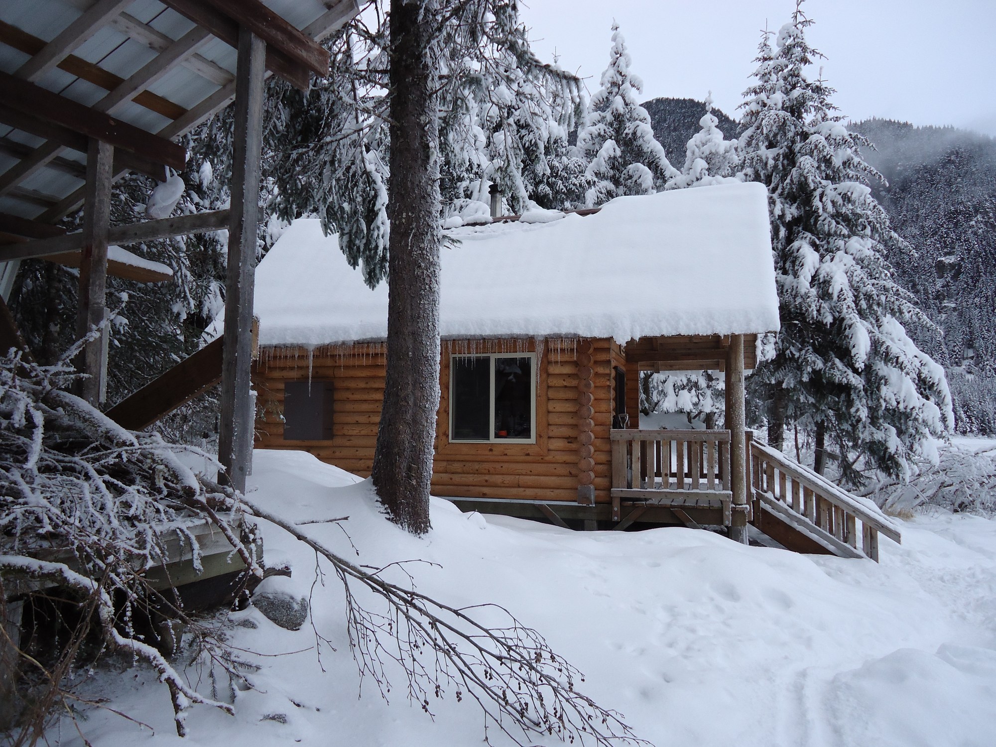
Log chalet on Eagle Lake facing Eagle Glacier, 5.5 miles up the Amalga Trail.
13.1 mi
Public-use cabin
Wilderness beach cabin on north Admiralty Island, 15 minutes by floatplane from Juneau.
16.7 mi
Public-use cabin
Wheelchair-accessible beach cabin with a view of Taku Glacier.
19.4 mi
Public-use cabin
Fly-in lake cabin on north Admiralty Island with a skiff; trout and coho fishing.
19.7 mi
Public-use cabin
Floatplane-access cabin at the south end of Young Lake with a skiff.
20.6 mi
Public-use cabin
Point Bridget cabin 3.75 miles from the trailhead.
22.1 mi
Public-use cabin
Stone-and-log chalet on Turner Lake with a fireplace and two rowboats.
22.7 mi
Public-use cabin
Point Bridget State Park cabin 2.5 miles from the mile 39 trailhead.
23.2 mi
Public-use cabin
State marine park cabin at the head of Seymour Canal, reached via the Oliver Inlet tram.
23.8 mi
Public-use cabin
Point Bridget beach cabin 3.4 miles from the trailhead.
24.1 mi
Campground
Lakeshore Forest Service campground facing Mendenhall Glacier, with RV hookups, showers and walk-in sites.
1.7 mi

Campground
Small beachside Forest Service campground on a former Auk Tlingit village site north of the ferry terminal.
7.2 mi

Campground
Forested first-come state campground at the mouth of Eagle River, 27 miles north of Juneau.
12.3 mi