

Glacier
Lamplugh Glacier
Brady Icefield tidewater glacier marked by a 2015 landslide and a receding blue ice face.
7.9 mi

Glacier
Mile-wide tidewater glacier filling the head of Johns Hopkins Inlet, with seals on the ice.
Glacier Bay National Park and Preserve · NPS
Johns Hopkins Glacier fills the end of Johns Hopkins Inlet in the far northwest of Glacier Bay. Its face is about a mile wide and 250 feet above the waterline, extending about 200 feet below the sea to an underwater moraine. Fed by tributary glaciers, it runs about 12 miles from the Fairweather peaks, and dark medial moraines stripe the ice. Kittiwakes feed where meltwater upwells at the face, and harbor seals rest on icebergs throughout the inlet.
Wildlife viewing · Boating
Last updated 2026-11-09
Glacier
Brady Icefield tidewater glacier marked by a 2015 landslide and a receding blue ice face.
7.9 mi
Glacier
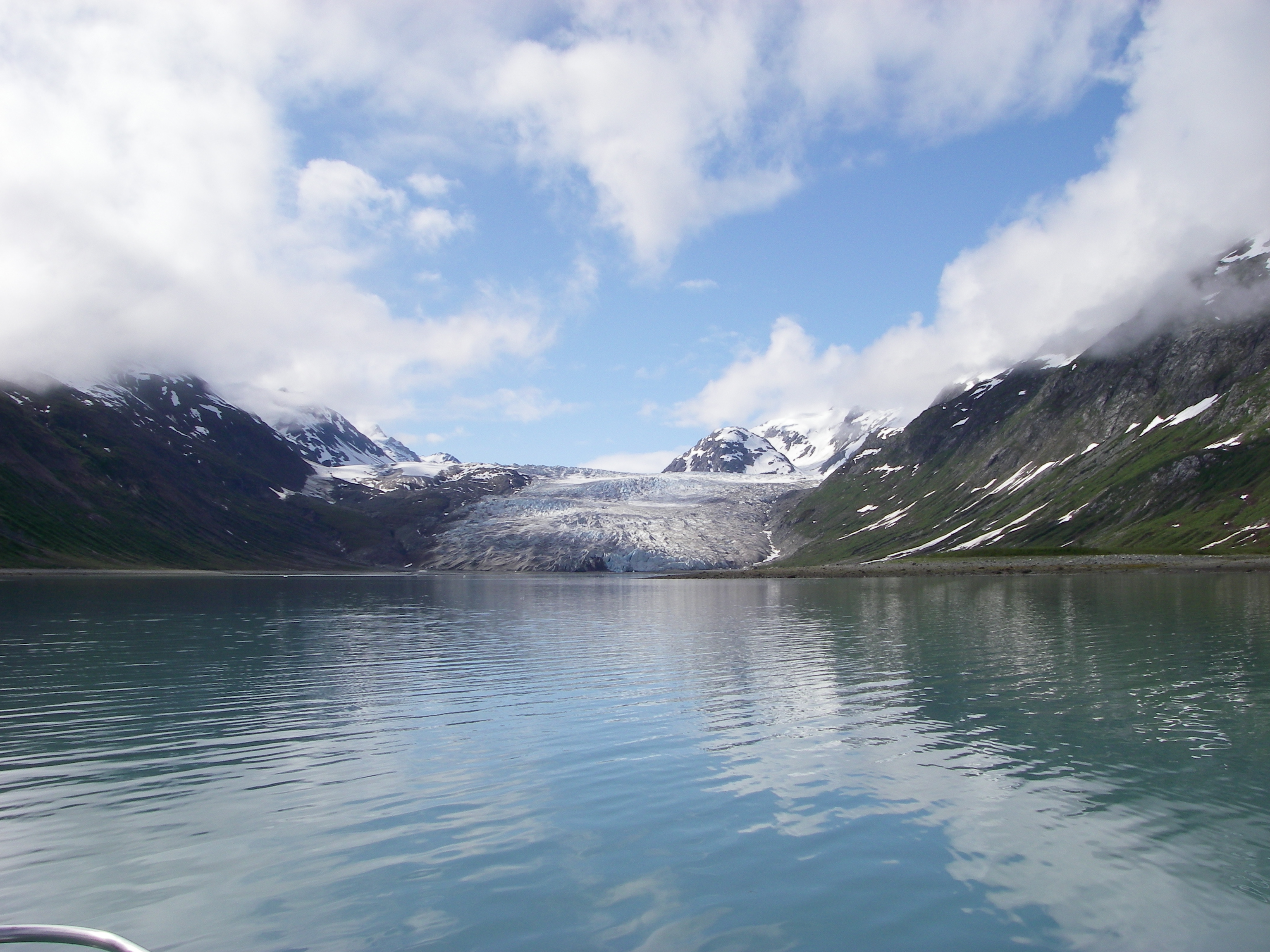
Slow-moving glacier at the head of quiet Reid Inlet, a favorite kayak and boat anchorage.
11.3 mi

Glacier
Fast-flowing 21-mile tidewater glacier at the head of Tarr Inlet, a highlight of Glacier Bay cruises.
14.0 mi

Glacier
Debris-covered glacier at the head of Tarr Inlet that carved Glacier Bay.
16.7 mi
