

Glacier
Grand Pacific Glacier
Debris-covered glacier at the head of Tarr Inlet that carved Glacier Bay.
2.8 mi

Glacier
Fast-flowing 21-mile tidewater glacier at the head of Tarr Inlet, a highlight of Glacier Bay cruises.
Glacier Bay National Park and Preserve · NPS
Margerie Glacier ends at the sea at the northern reach of Tarr Inlet, the farthest point of the Glacier Bay waterway. It is about 21 miles long, starting in the Fairweather Range above 9,000 feet, and flows about 2,000 feet a year (roughly 6 feet a day). It rests on an underwater ledge, so ice calves into the fjord as icebergs that harbor seals, sea otters and kittiwakes use. The terminus was long stable, but since 1998 its northern third has receded, and by 2017 deep embayments had formed and bedrock was exposed.
Wildlife viewing · Boating
Last updated 2026-11-09
Glacier
Debris-covered glacier at the head of Tarr Inlet that carved Glacier Bay.
2.8 mi

Glacier
Brady Icefield tidewater glacier marked by a 2015 landslide and a receding blue ice face.
12.4 mi

Glacier
Mile-wide tidewater glacier filling the head of Johns Hopkins Inlet, with seals on the ice.
14.0 mi
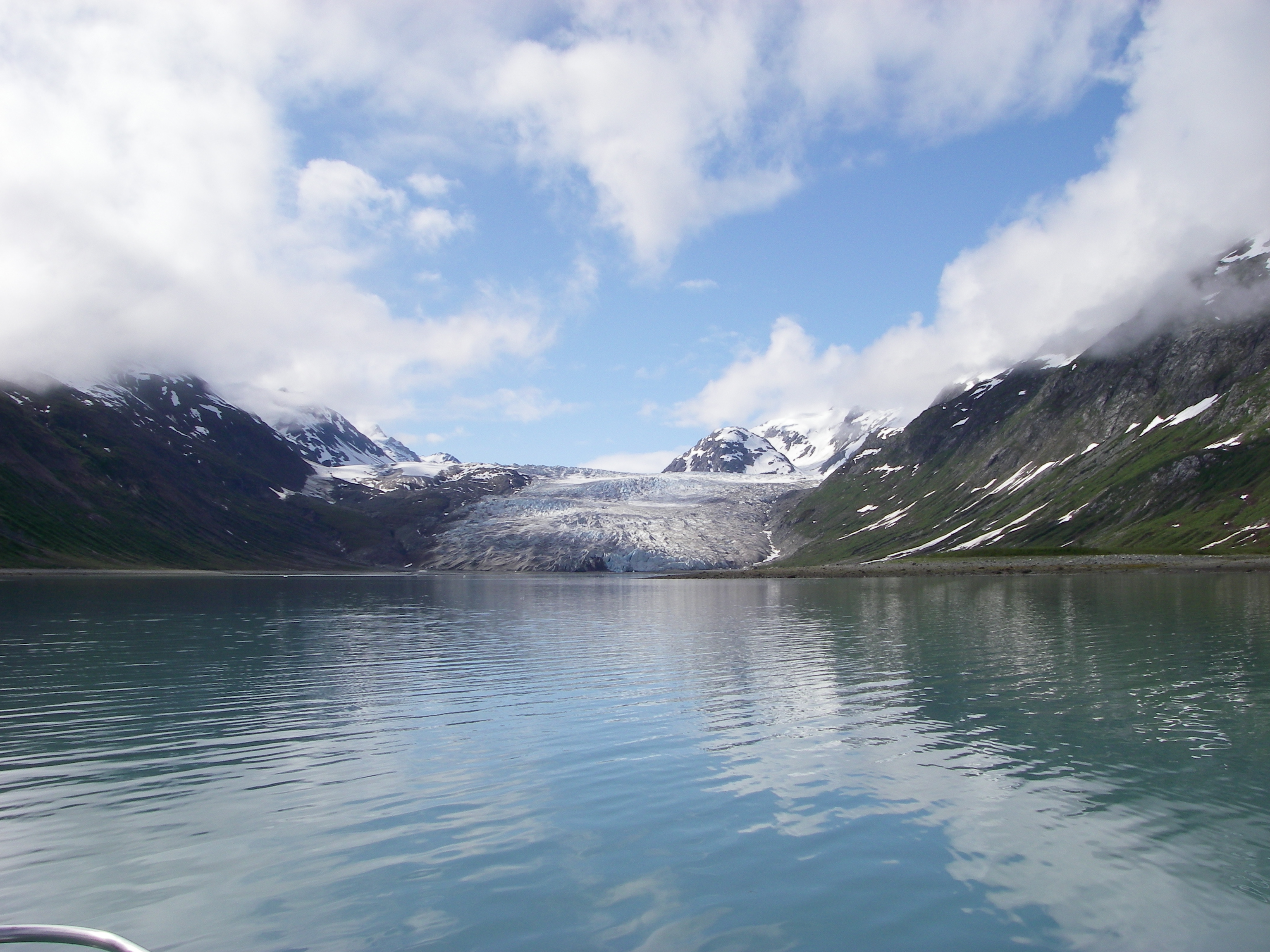
Glacier
Slow-moving glacier at the head of quiet Reid Inlet, a favorite kayak and boat anchorage.
15.4 mi
