Cultural site
Dolly's House
- Site type
- Historic site
Museum on Creek Street.
Alaska local guide
Alaska's First City, and the floatplane gateway to two million acres of granite wilderness.
Southeast / Inside Passage
Overview
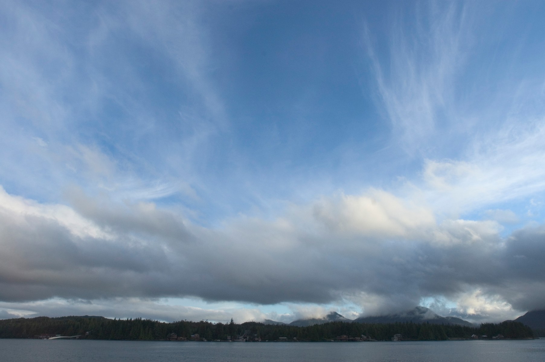
Ketchikan is where most travelers first set foot in Alaska. The town runs about 31 miles along the shore of Revillagigedo Island and is rarely more than ten blocks wide. Totem poles, salmon creeks and floatplane docks all sit within walking distance of the cruise piers, and the rainforest starts at the edge of town.
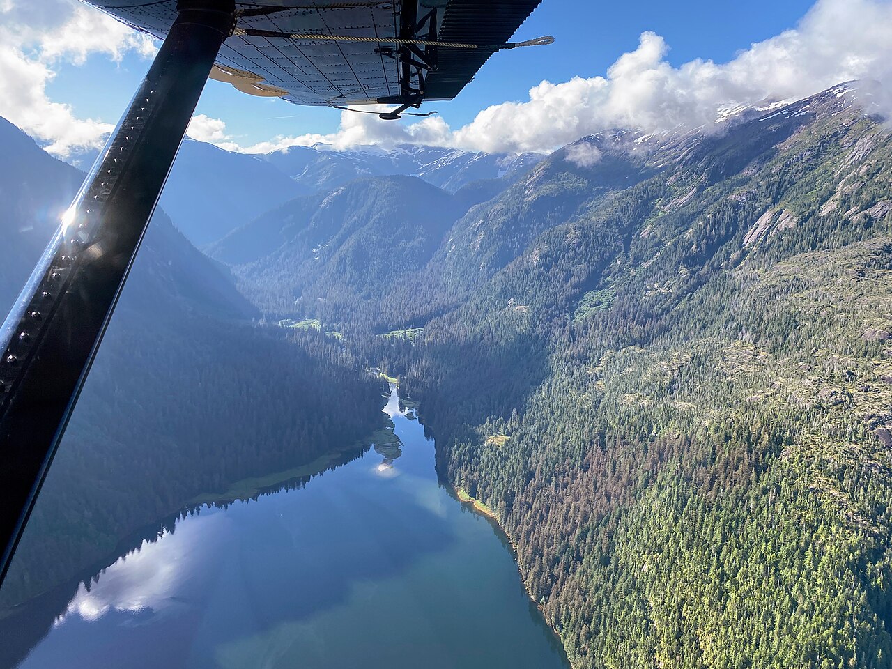
East across Behm Canal lies Misty Fiords National Monument. Ice carved this country into fjords whose granite walls rise about 3,000 feet from the water. Proclaimed in 1978 and designated wilderness in 1980, its 2,142,243 acres form the largest wilderness on the Tongass National Forest. There are no roads in, so visitors arrive by floatplane, tour boat or kayak.
Tlingit, Haida and Tsimshian peoples have lived here for more than 10,000 years. The town grew from an 1885 cannery site into the self-styled Canned Salmon Capital of the World. It is also among the wettest towns in the country, with annual rain measured in feet, so pack good rain gear.
Live conditions
Loading the National Weather Service forecast…
Source: National Weather Service. Floatplane schedules depend on local ceilings and visibility, so confirm with your operator.
Explore
Cultural site
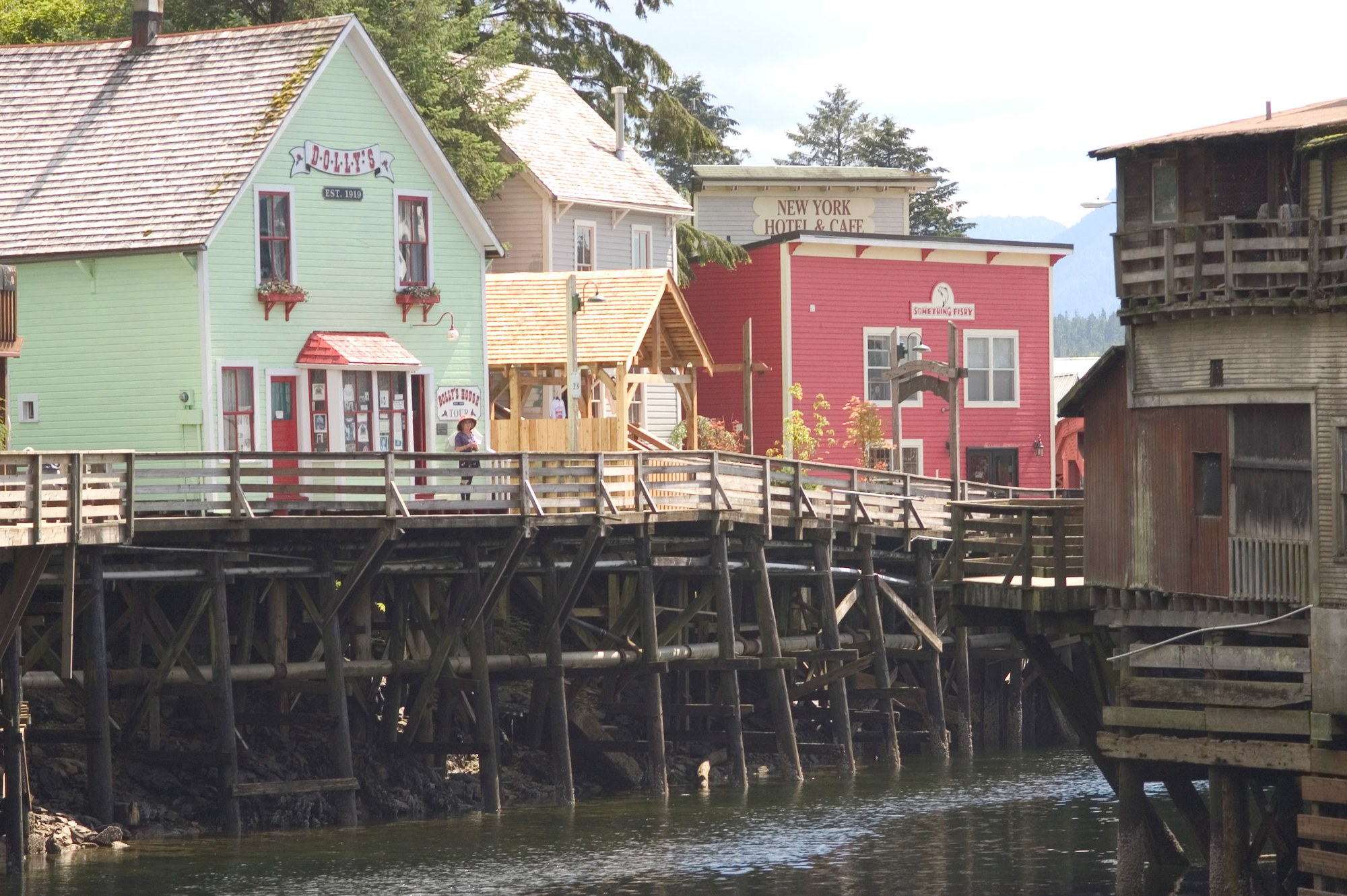
Museum on Creek Street.
Cultural site
A boardwalk on pilings over Ketchikan Creek and the red-light district until 1954.
Cultural site
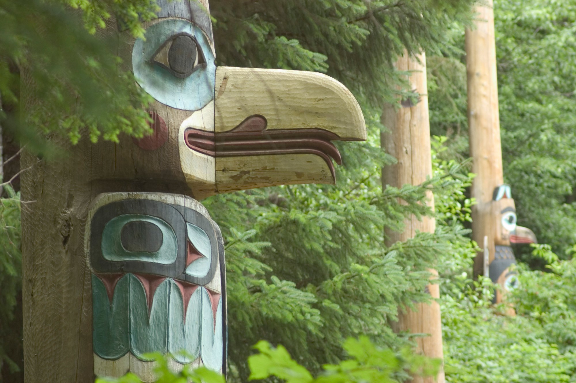
Mile 10, North Tongass Hwy.
Cultural site
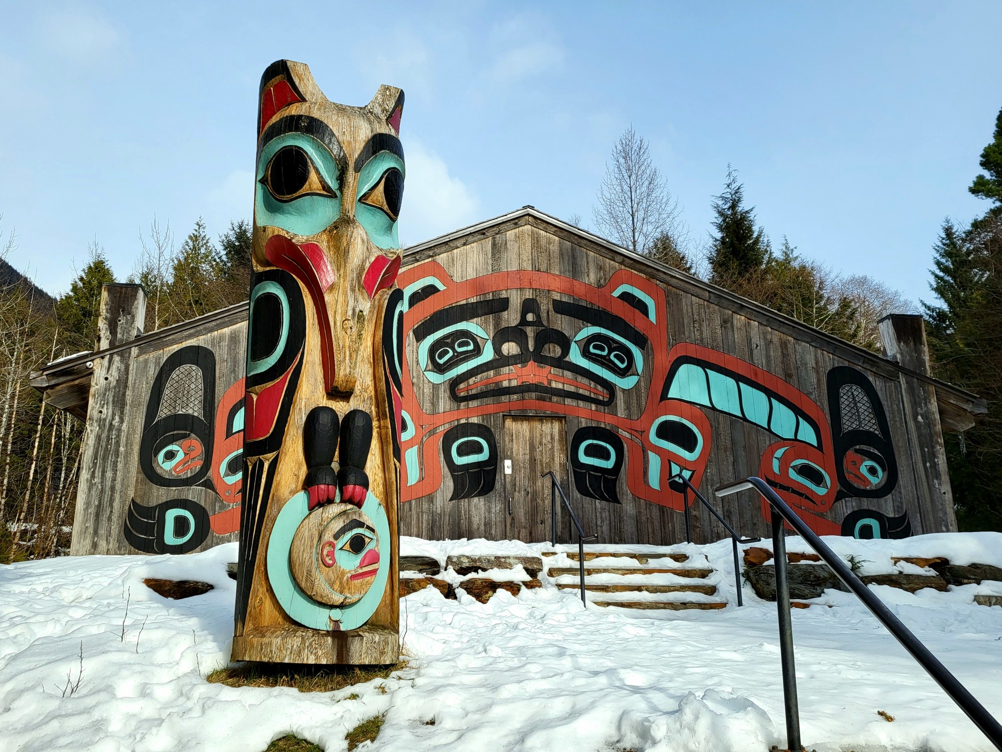
24 poles, including a Lincoln Pole replica.
Museum
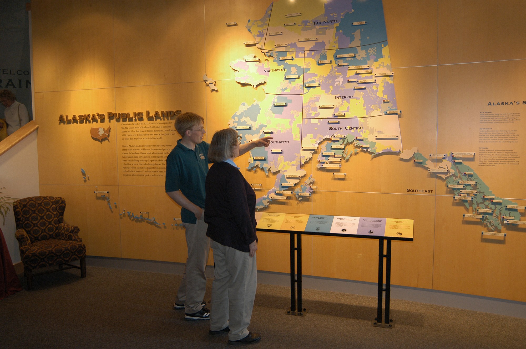
Ketchikan history museum.
Museum
Visitor center with underwater cameras on Ketchikan Creek and a spotting scope on Deer Mountain.
Museum
Opened 1976, with 17 historic poles displayed indoors.
Explore
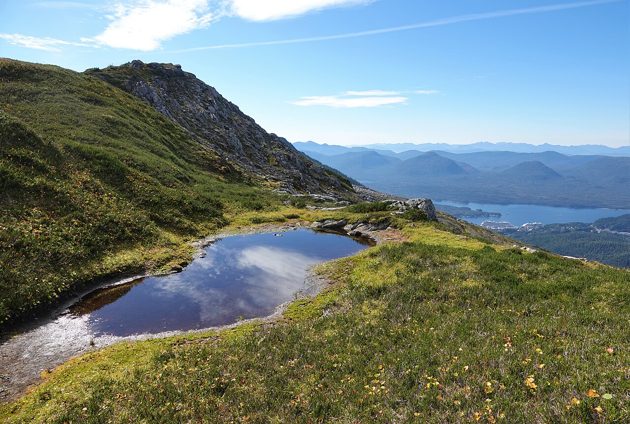
Granite, ice and old volcanoes shaped the country around Ketchikan.
Mountain
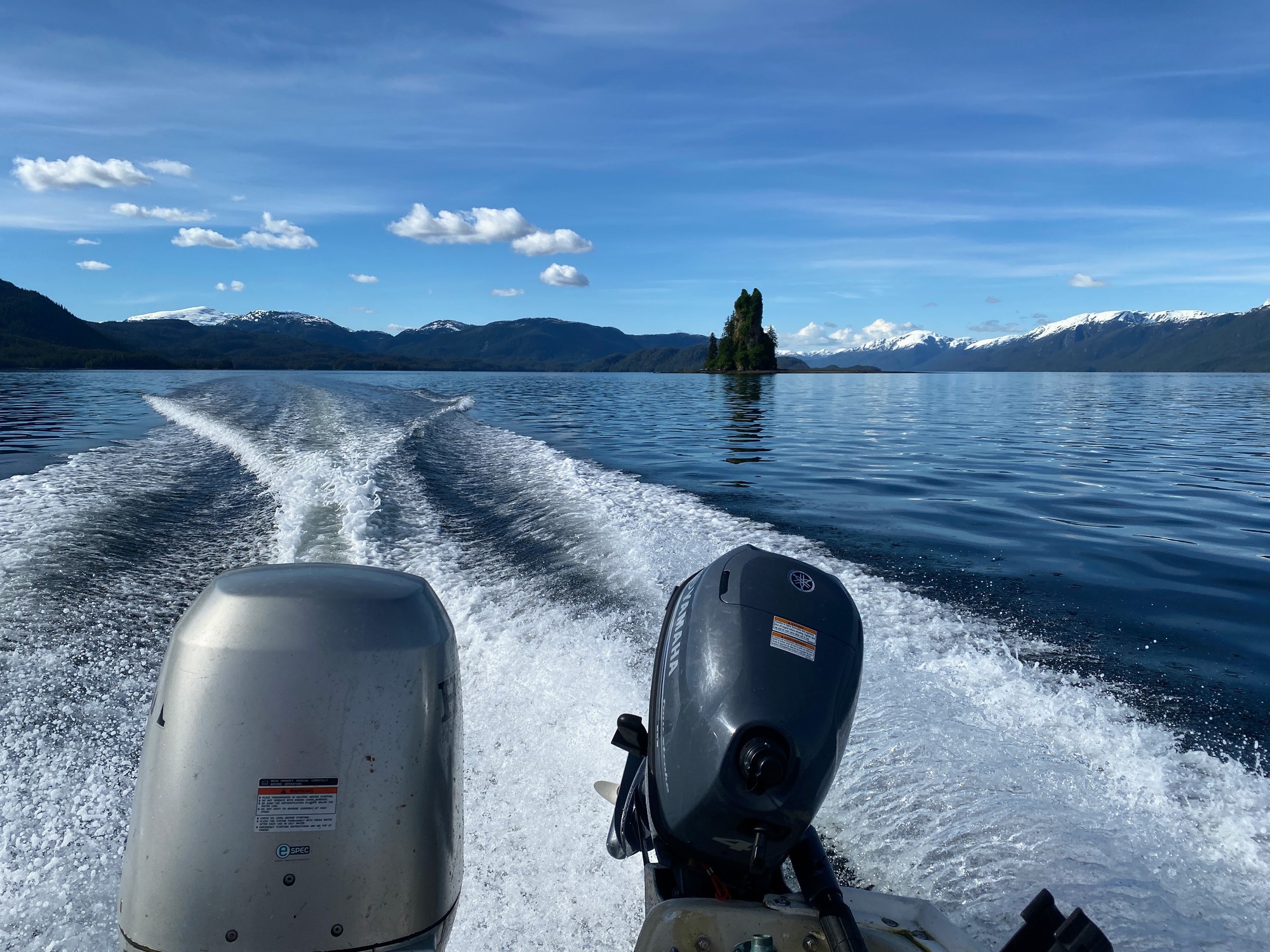
A 237-ft basalt volcanic plug in east Behm Canal, named by George Vancouver in the 1790s.

Mountain
The landmark above downtown Ketchikan.
Mountain
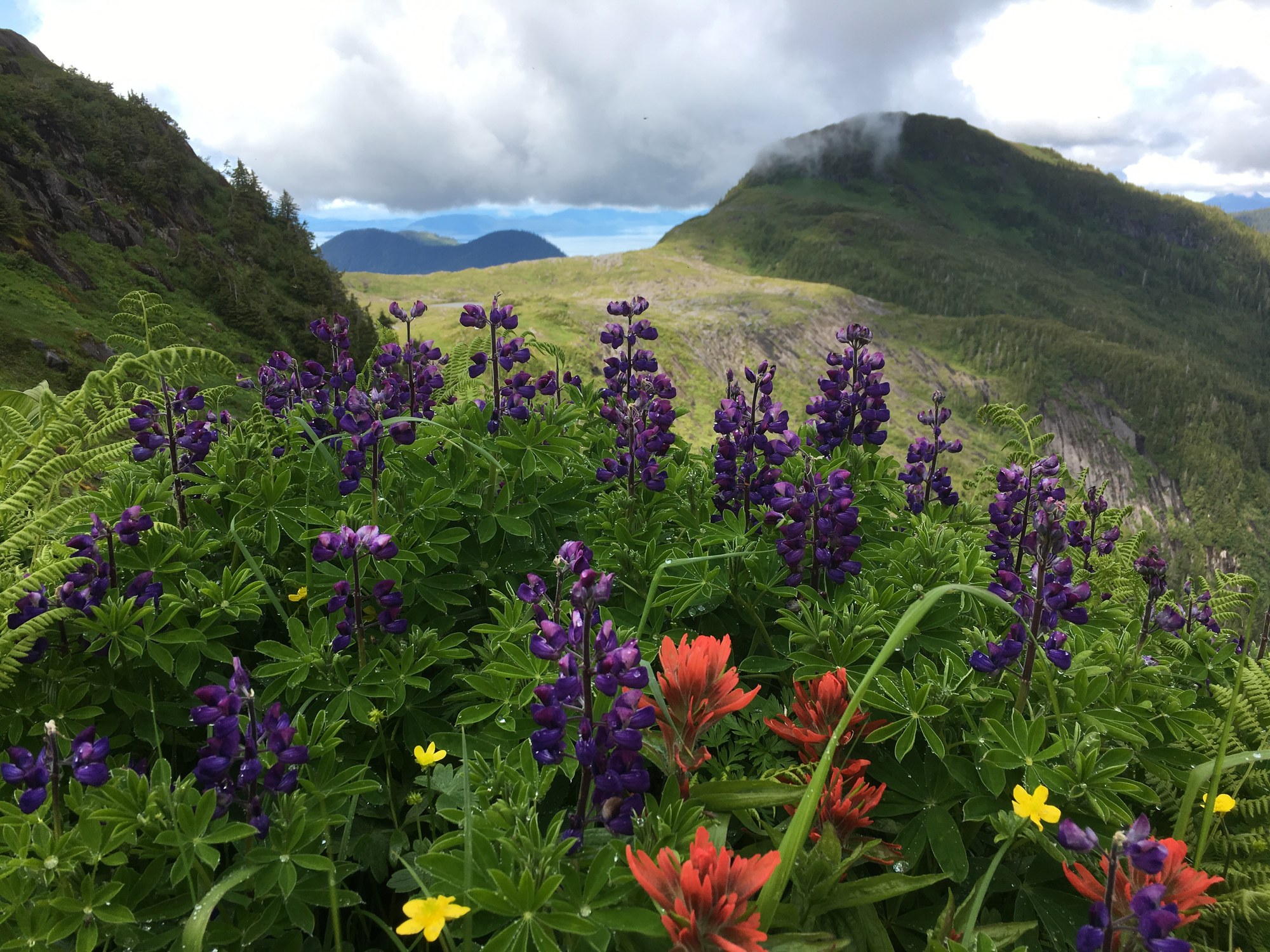
Revillagigedo high-country peak reached by the Dude Mountain Trail; steep route.
Explore
national forest
Land manager: USFS
national monument
Land manager: USFS
state park
Land manager: Alaska State Parks
state recreation area
Land manager: Alaska State Parks
state park
Land manager: Alaska State Parks
Explore
Ketchikan's trails start in town or a short drive out, from easy lakeside walks to the climb up Deer Mountain.
| Trail | Rating | One way | Gain |
|---|---|---|---|
| Deer Mountain | Strenuous | ~2.75 mi to summit | ~2,600 ft |
| Deer Mtn–Silvis Lakes Traverse | Most difficult | 13.75 mi, 1–2 days | ~3,000 ft |
| Perseverance | More difficult | 2.6 mi | 450 ft |
| Rainbird | More difficult | 1.3 mi | 300 ft |
| Carlanna Lake | Easy | 1.8 mi | 150 ft |
| Lunch Creek | More difficult | 4.8 mi | 1,300 ft |
| Dude Mountain | Most difficult | 1.6 mi | 1,500 ft |
| Joseph C. Williams Sr. Coastal | Easy | 4.3 mi | Minimal |
Trailhead directions are on each trail's page. Source: USFS Ketchikan Area Trails Guide (April 2024).

Trail
13.75-mi, 1–2 day traverse ending at the end of South Tongass Hwy about 13 mi south. Little tread beyond Blue Lake.
13.8 mi
Trail
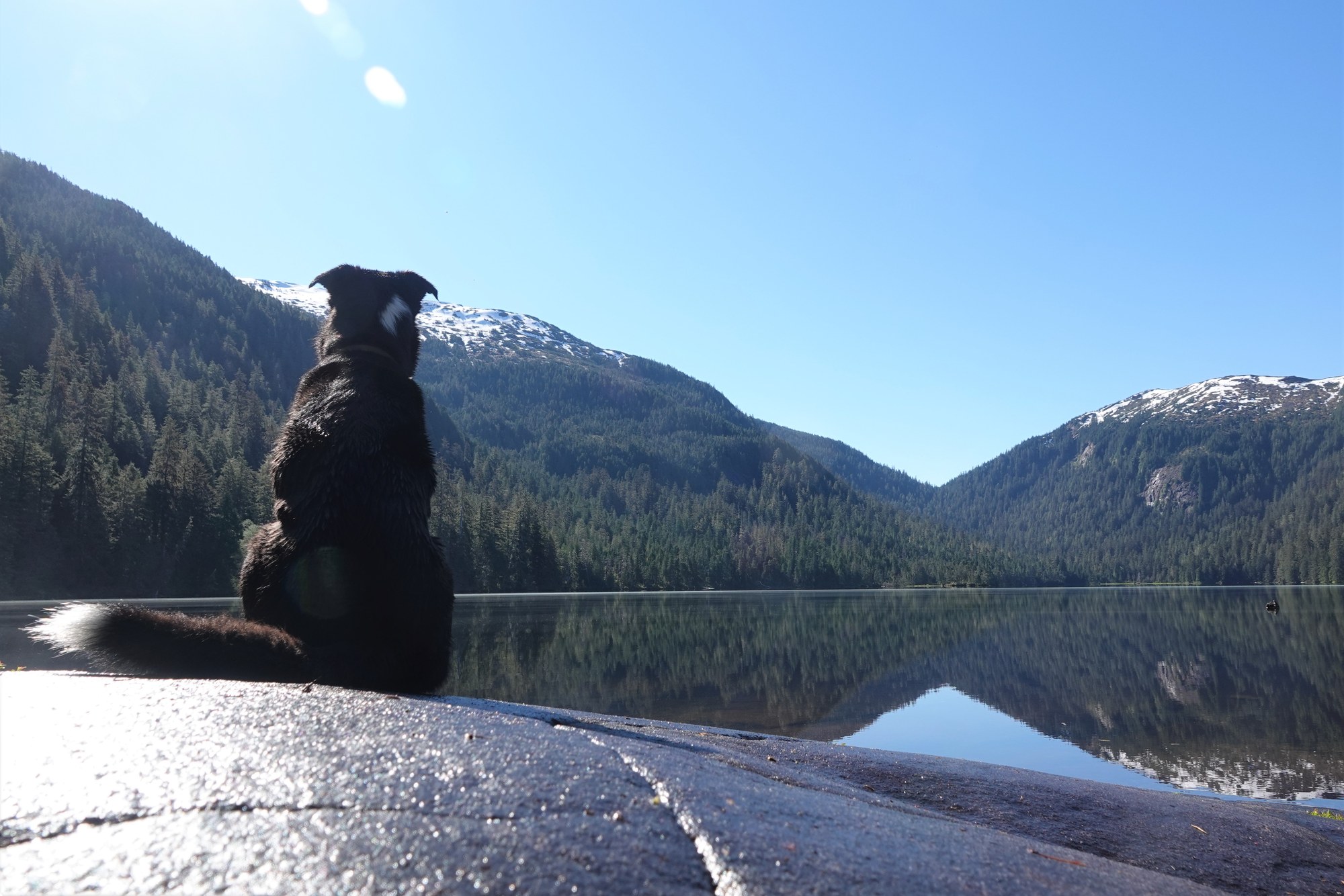
Ward Lake area via Revilla Rd. Two tent platforms at the lake.
2.6 mi
Trail
In-town trail.
1.3 mi
Trail
In town. Fishing platforms at the lake; mountain goats on the slopes above.
1.8 mi
Trail
At the end of North Tongass Hwy.
4.8 mi
Trail
The landmark climb straight out of downtown, with alpine views over Tongass Narrows.
2.8 mi
Trail
Coast Guard Base to Mountain Point, with no significant gain. Includes 0.7 mi of highway shoulder.
4.3 mi
Trail
Reached via Revilla Rd and Brown Mountain Rd (FR 8005-120), about 4 mi.
1.6 mi
Trailhead
Half a mile up Ketchikan Lakes Rd, past the Nordstrom Dr junction.
Shelter / lean-to
First-come shelter on the Deer Mountain Trail.
Shelter / lean-to
One of five three-sided shelters in Misty Fiords.
Explore
Ketchikan fishes for all five salmon plus halibut, from charter boats in the salt to fly-in lakes.
Limits and closures change with emergency orders, so check ADF&G before you go. Each spot's page lists its rules.
Fishing spot
Hatchery terminal area.
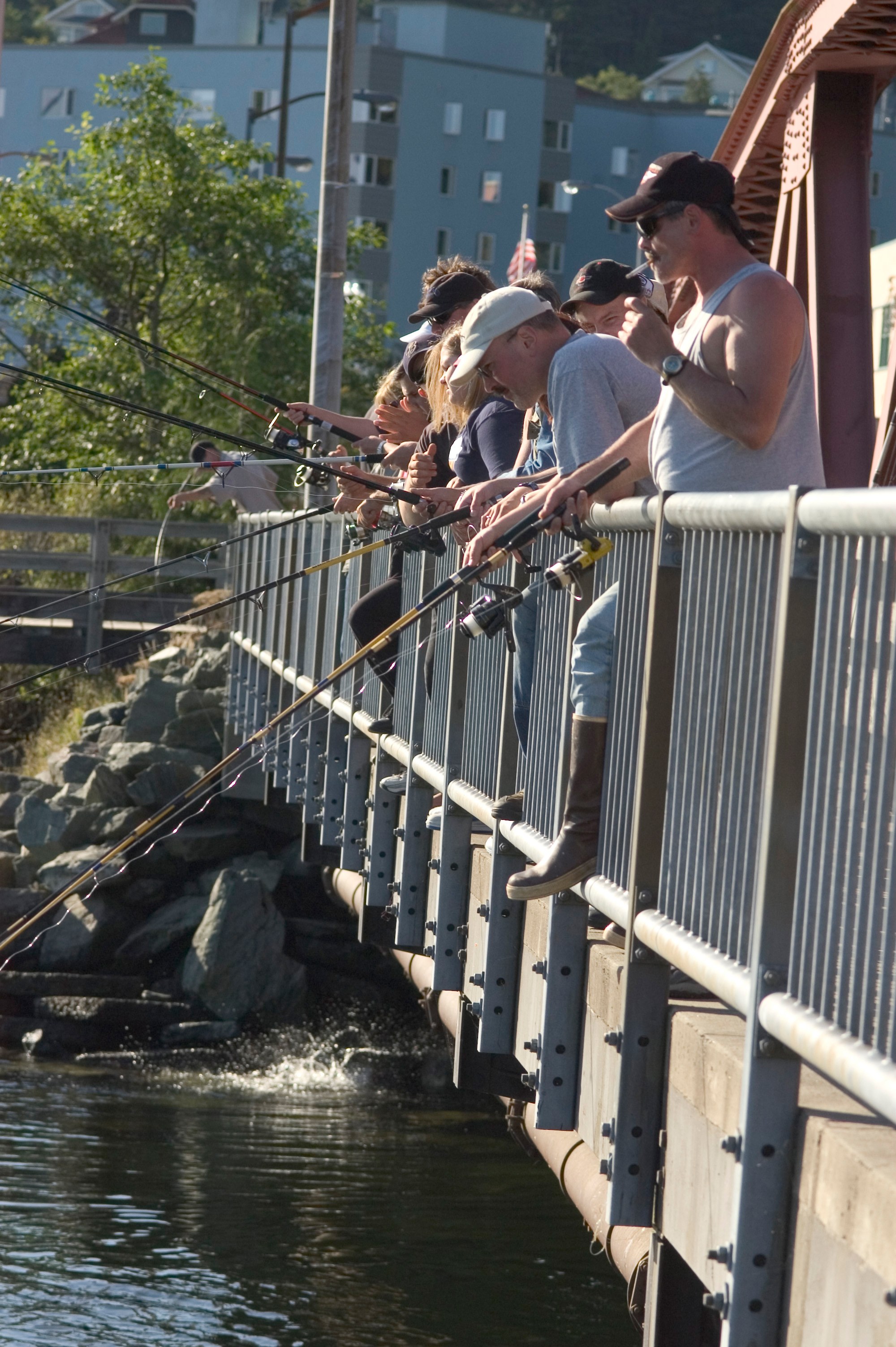
Fishing spot
Downtown salmon and steelhead creek; unbaited single hook only.
Fishing spot
Hatchery terminal area open June 1–July 31; kings 3 per day.
Fishing spot
Charter fishing for all five salmon, halibut, lingcod, Pacific cod and rockfish.
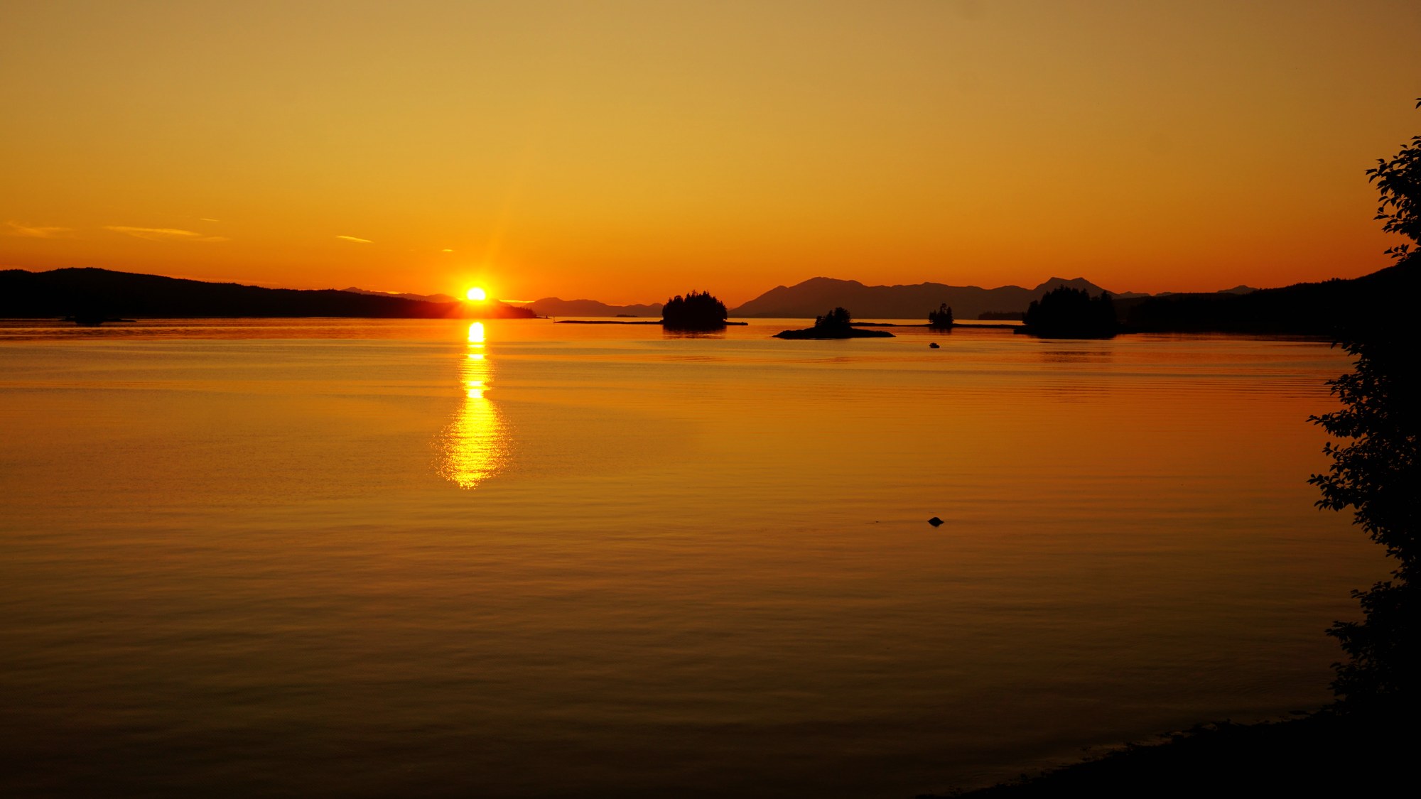
Fishing spot
Saltwater fishing near Ketchikan.
Fishing spot
Unbaited single hook in the drainage; steelhead catch-and-release.
Fishing spot
No bait on the Naha; steelhead catch-and-release. Fly-in lakes are artificial-lure only.
Fishing spot
Northern Behm Canal is closed to all salmon fishing; southern Behm is closed May 1–Aug 14.
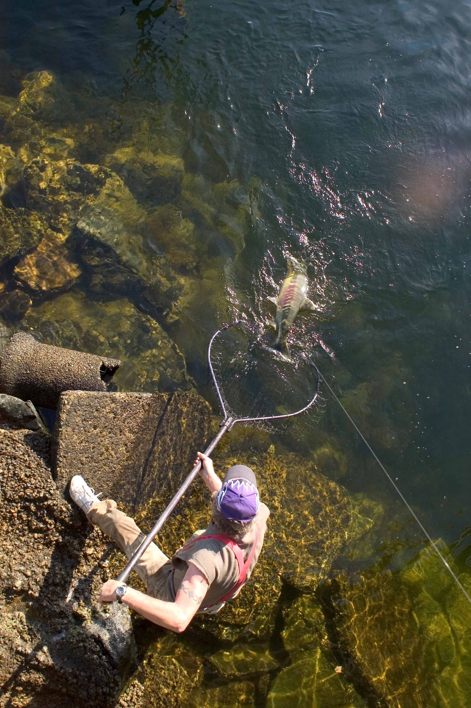
River
Salmon creek through downtown Ketchikan, under Creek Street.
River
Ward Lake drainage north of Ketchikan.
River
Drainage with fly-in lakes north of Ketchikan.
On the water
| Season | Jan | Feb | Mar | Apr | May | Jun | Jul | Aug | Sep | Oct | Nov | Dec |
|---|---|---|---|---|---|---|---|---|---|---|---|---|
| King / Chinook | ||||||||||||
| Sockeye / Red | ||||||||||||
| Coho / Silver | ||||||||||||
| Pink / Humpy | ||||||||||||
| Chum / Dog |
Approximate freshwater timing varies by river and year. Pink runs can vary with odd/even years. A run does not mean fishing is open; check current regulations and emergency orders.
A field companion
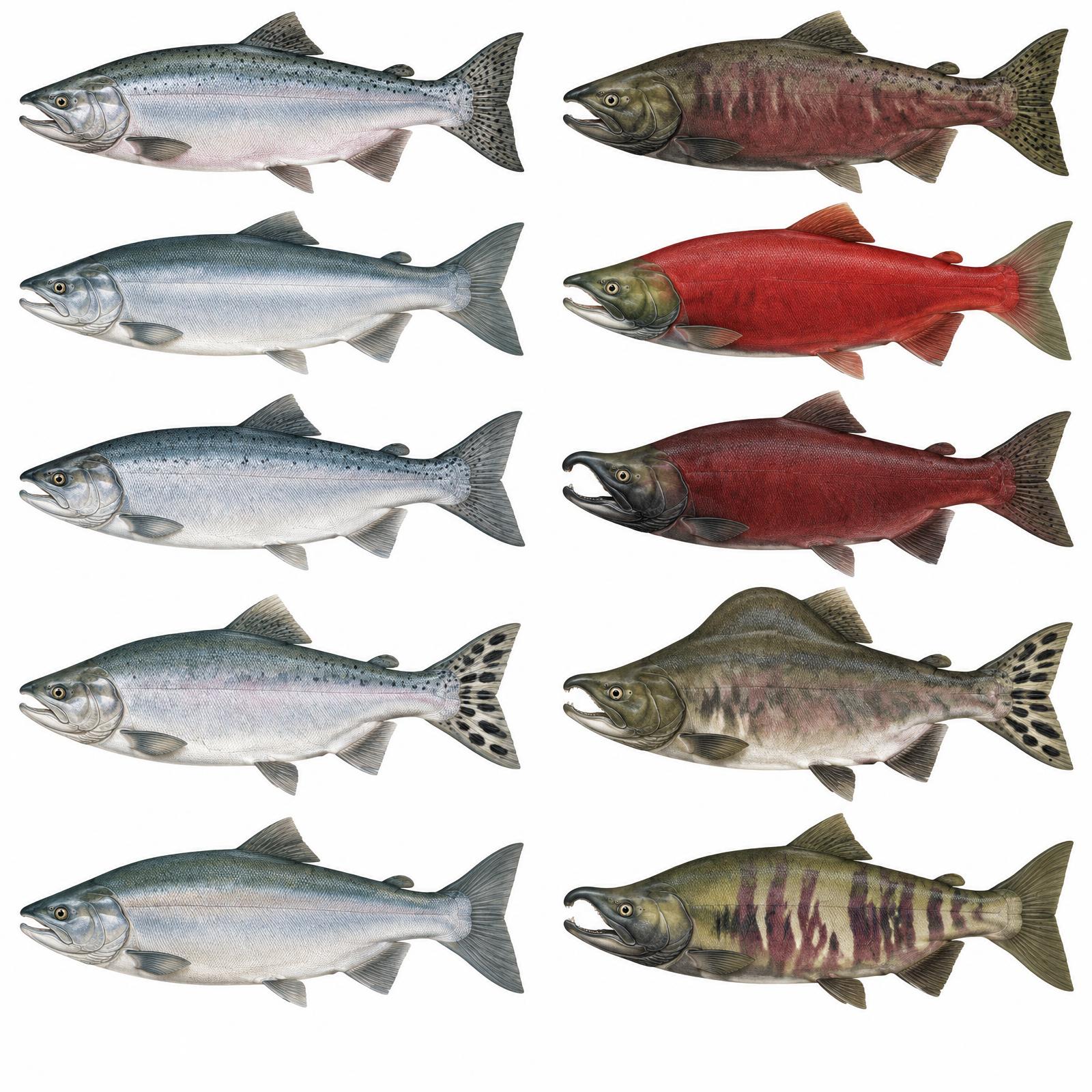
King
Usually 10–20 lb
Red
About 4–8 lb
Silver
Usually 8–12 lb
Humpy
Average 3.5–5 lb
Dog / Keta
About 6–12 lb
Illustrations are interpretive; identify fish by several traits together, not pupil shape alone. Adult sizes vary by stock. Official ADF&G identification chart
Current ADF&G sport-fishing regulations and emergency orders
Explore
Ketchikan sits in Unit 1A, which covers drainages south of Lemesurier Point, including Behm Canal.
Seasons and permits are on the GMU 1A page. Links: ADF&G Unit 1 regulations · ADF&G Unit 1 maps
Seasons, permits and land restrictions change. Check current Alaska Department of Fish and Game regulations before planning a hunt.
Explore
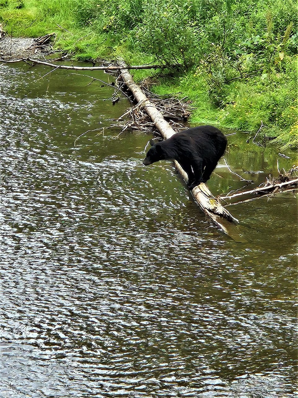
Bear country
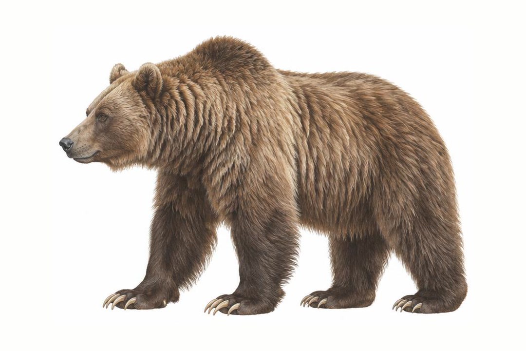
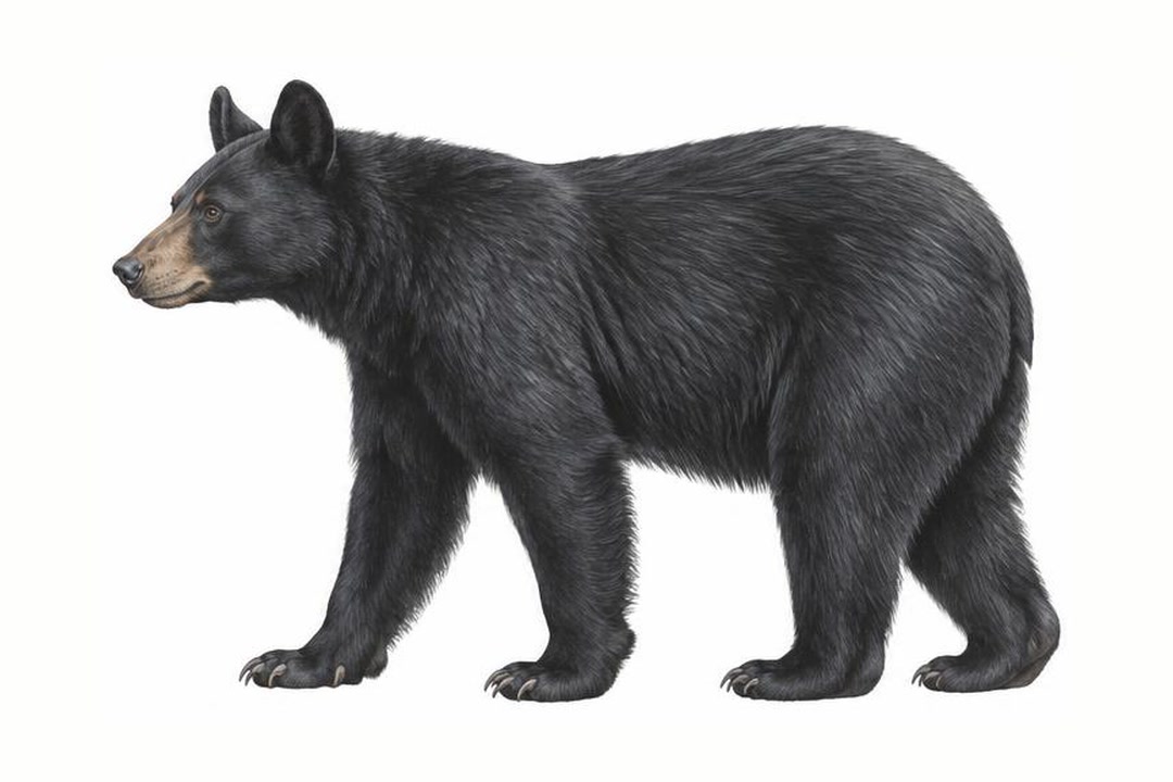
Both species vary in coat color. Never approach a bear to identify it. Stay alert, make noise in dense cover, give bears space, secure food and garbage, and never run. Carry accessible bear spray and know how to use it.
ADF&G bear safety guidanceExplore
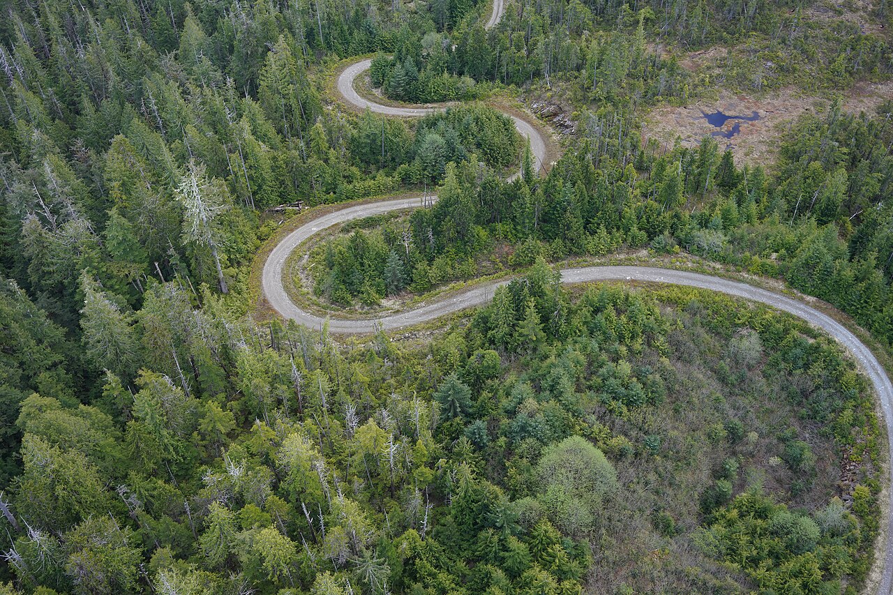
Ketchikan's road system is short, but Forest Service roads on Revillagigedo Island reach lakes, trailheads and hunting country.
4WD route
Paved, from road's end past Settlers Cove (~18 mi north) to Silvis Lakes (~13 mi south).

4WD route
Gravel USFS roads in the 8000 series, plus FR 8340.
4WD route
Gravel road out of Hyder that crosses back into BC and climbs to an overlook of Salmon Glacier. Rough, short season.
Explore
Paddling here means sea kayaks rather than rafts, from a sheltered half-day near town to a week in the fjords.
Rafting run
Day paddles in the Betton Island area north of town.

Rafting run
Multi-day trips to Rudyerd Bay, Punchbowl Cove and Walker Cove, with drop-offs to skip the Behm Canal crossing.
Explore
Camp near town or fly out to a Misty Fiords cabin.
Campground
First-come, first-served state campground about 18 mi north, with the Lunch Falls trail.
Campground
Ward Lake area, 6 mi north of Ketchikan. Reserve via Recreation.gov (877-444-6777).
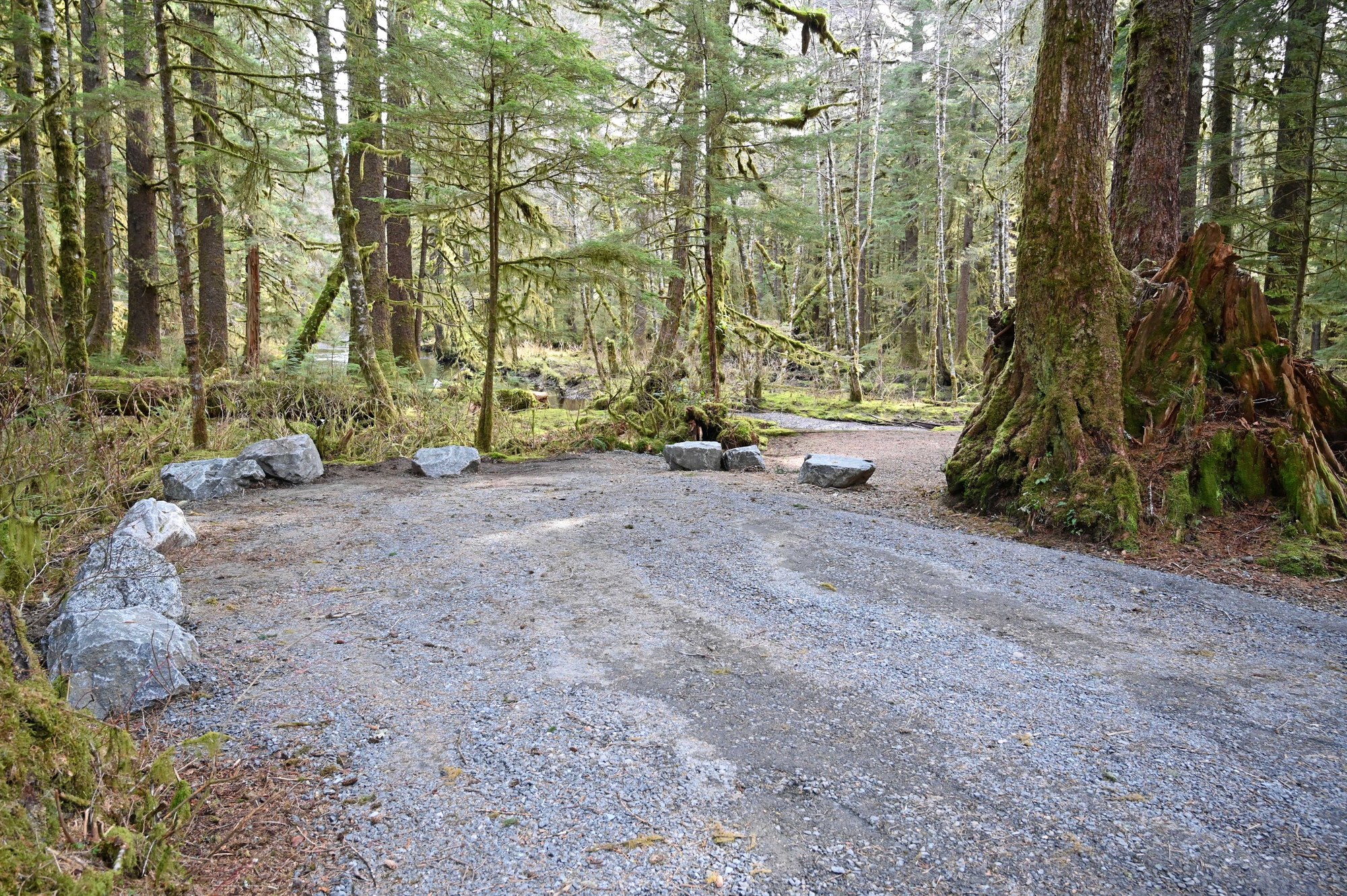
Campground
Ward Lake area, 6 mi north of Ketchikan. Reserve via Recreation.gov (877-444-6777).
Public-use cabin
Misty Fiords public-use cabin, reached by floatplane or boat.
Public-use cabin
Misty Fiords public-use cabin, reached by floatplane or boat.
Public-use cabin
Misty Fiords public-use cabin, reached by floatplane or boat.
Public-use cabin
Misty Fiords public-use cabin, reached by floatplane or boat.
Public-use cabin
Misty Fiords public-use cabin, reached by floatplane or boat.
Public-use cabin
Misty Fiords public-use cabin, reached by floatplane or boat.
Public-use cabin
Misty Fiords public-use cabin, reached by floatplane or boat.
Public-use cabin
Misty Fiords public-use cabin, reached by floatplane or boat.
Public-use cabin
Misty Fiords public-use cabin, reached by floatplane or boat.
Public-use cabin
Misty Fiords public-use cabin, reached by floatplane or boat.
Public-use cabin
Misty Fiords public-use cabin, reached by floatplane or boat.
Public-use cabin
Misty Fiords public-use cabin, reached by floatplane or boat.
Public-use cabin
Cabin in Grindall Island State Marine Park.
Shelter / lean-to
First-come shelter on the Deer Mountain Trail.
Shelter / lean-to
One of five three-sided shelters in Misty Fiords.
Explore
There is plenty for rainy days and long summer evenings.
Operator
Misty Fiords floatplane flightseeing from Harbor Point, 4085 Tongass Ave.
Operator
Misty Fiords floatplane trips of about 2.5 h with a water landing.
Operator
Ketchikan floatplane operator listed for Misty Fiords flights.
Operator
Daily ferry between Ketchikan and Hollis on Prince of Wales Island, about 3 h.
Lodge
A family-run, all-inclusive fly-in fishing lodge overlooking Yes Bay, about 50 miles north of Ketchikan in the Tongass National Forest, open since 1977. Guests fish salt and fresh water for salmon, halibut, lingcod and rockfish.
Through the year
| Season | Jan | Feb | Mar | Apr | May | Jun | Jul | Aug | Sep | Oct | Nov | Dec |
|---|---|---|---|---|---|---|---|---|---|---|---|---|
| Wildlife viewing | ||||||||||||
| Fishing | ||||||||||||
| Hiking | ||||||||||||
| Northern lights | ||||||||||||
| Midnight sun | ||||||||||||
| Winter sports |
Peak and shoulder planning windows; weather and conditions vary. Aurora requires darkness and clear skies. Southern Alaska has long summer days, not a true 24-hour midnight sun.
Explore
Ketchikan is reached by jet or ferry; Misty Fiords only by floatplane or boat.
Airport
Ketchikan's jet airport on Gravina Island, reached from town by the borough airport ferry across Tongass Narrows.
Floatplane base
Floatplane docks along Tongass Narrows, the departure point for Misty Fiords flightseeing and cabin drop-offs.
Ferry terminal
Borough ferry across Tongass Narrows between Ketchikan and the airport. $6 per adult one way, $7 per car; same-day return free with receipt (July 2026).
Ferry terminal
Alaska Marine Highway and Inter-Island Ferry service at Ketchikan.
Seattle
jet · Nonstop on Alaska Airlines
Ketchikan (KTN)
KTN, Gravina Island
ferry · A few minutes across Tongass Narrows
Ketchikan town
Ketchikan waterfront
floatplane · About 60 minutes of flight on a typical tour
Misty Fiords
Typical travel estimates, not a timetable. Check operators and allow time for weather.
Maps & downloads
USDA Forest Service. Roads and trails not shown are closed to motor vehicles.
USDA Forest Service, April 2024.
USDA Forest Service, 2010. Check cabin details against current listings.
Alaska Department of Fish and Game.
Gallery
Southeast / Inside Passage

A large, roadable Tongass island with Haida and Tlingit villages, totem parks, El Capitan Cave, steelhead rivers and more than 20 public-use cabins.
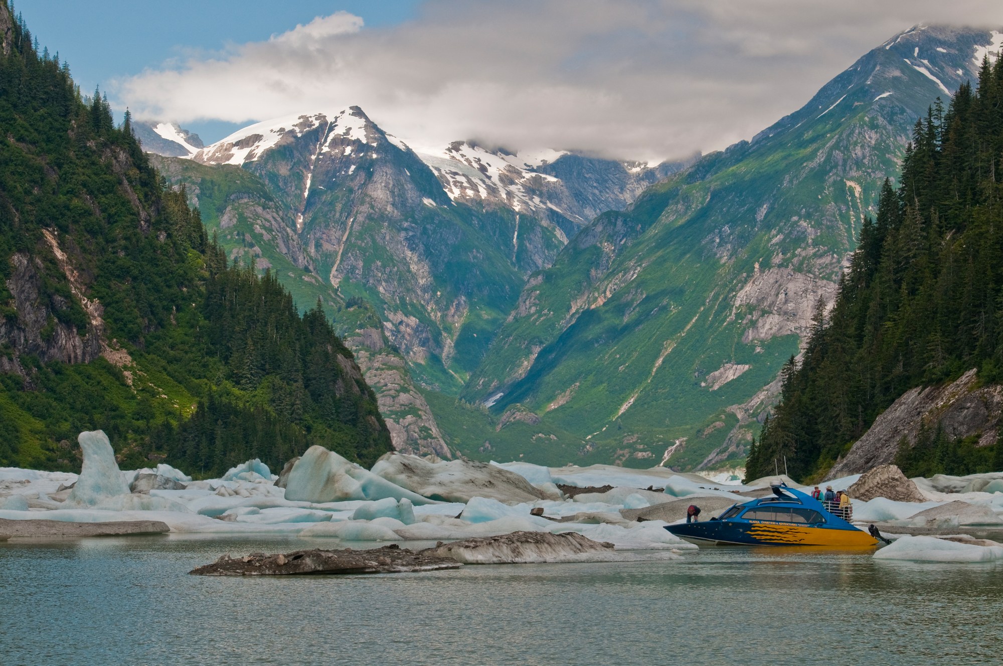
Fishing towns beside the Stikine River delta, with LeConte Glacier, Anan bear viewing, Tongass cabins and road camps on Mitkof and Wrangell islands.
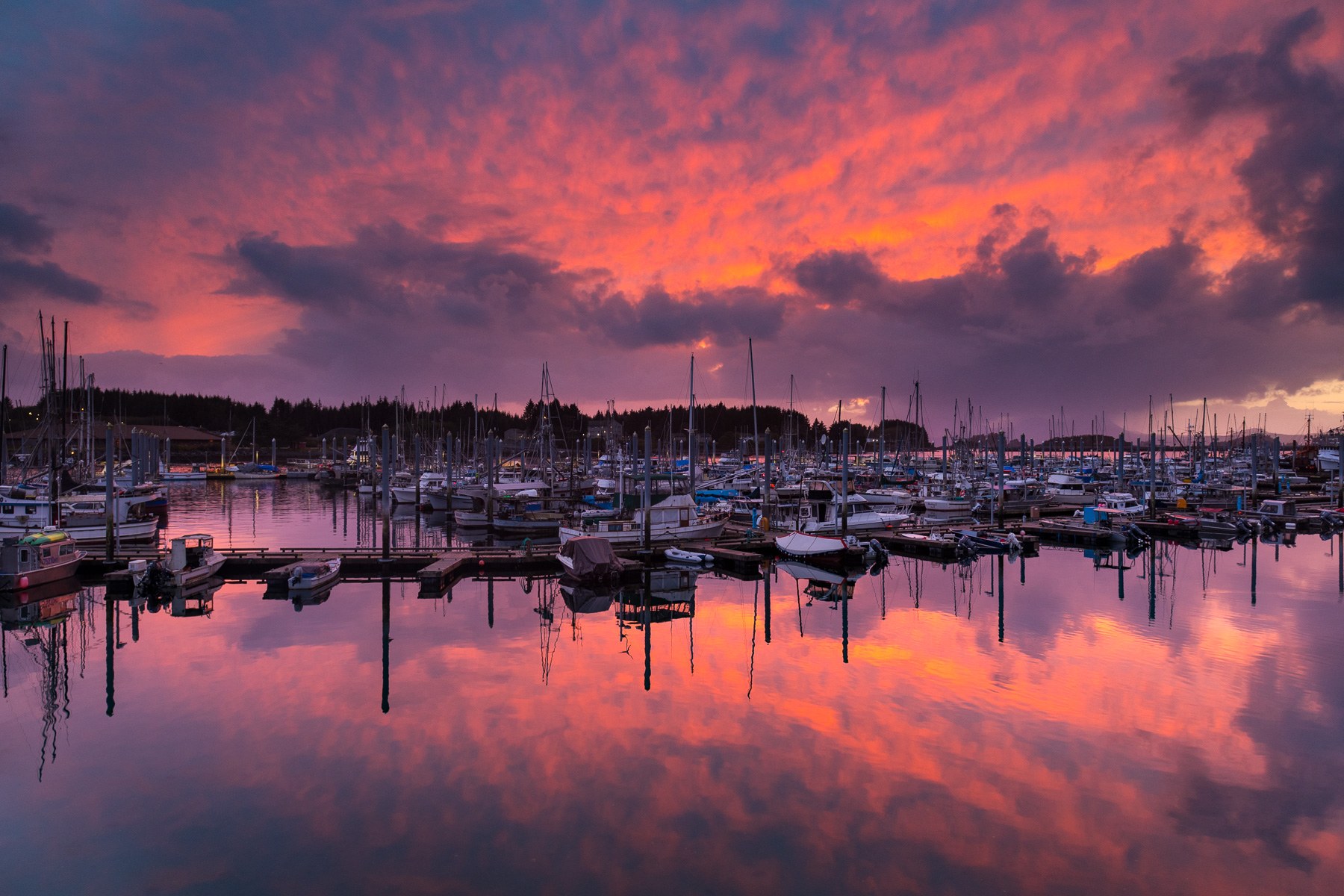
Pacific-facing Sitka pairs living Tlingit culture and Russian-era landmarks with rainforest trails, island cabins and boat trips on Sitka Sound.
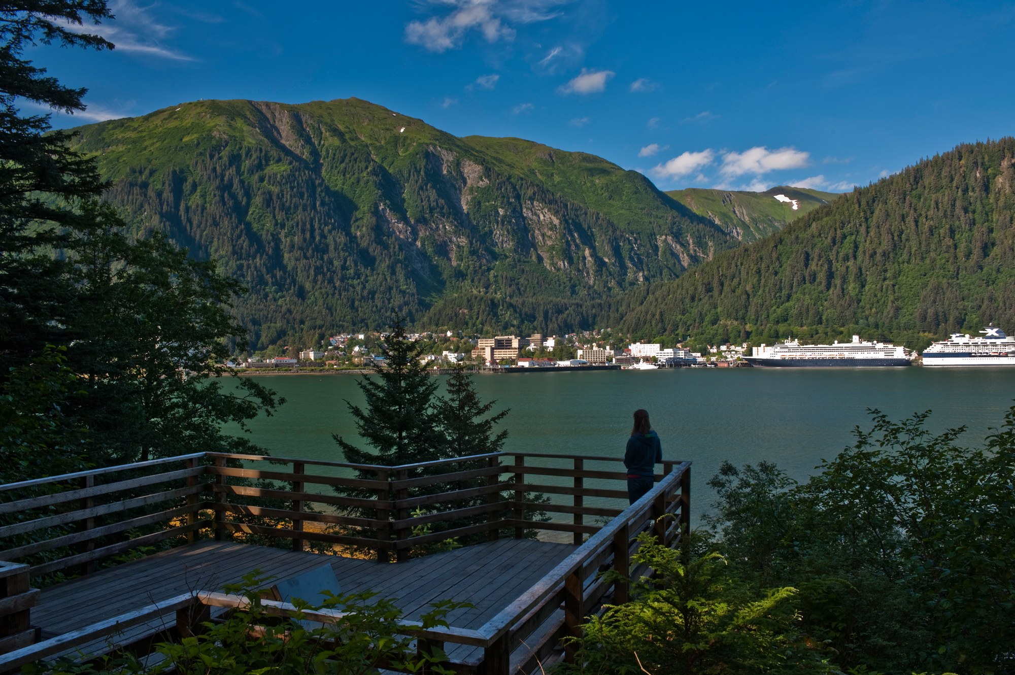
Alaska's capital, the road-accessible Mendenhall Glacier, Admiralty Island's brown bears and the tidewater glaciers of Glacier Bay National Park, with Gustavus and Hoonah as gateways.
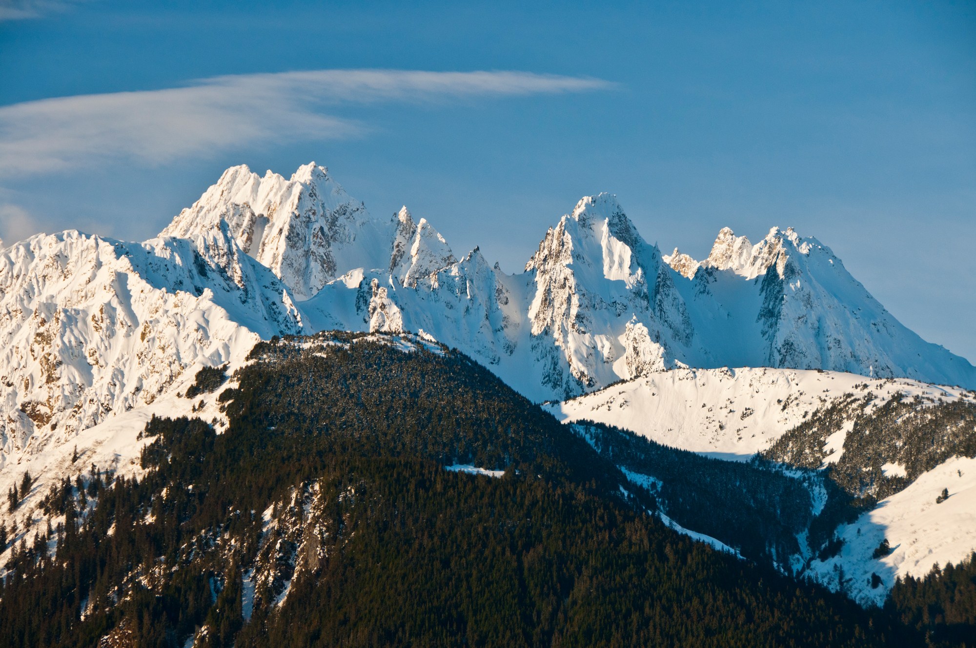
Haines sits on the Chilkat Peninsula between the Chilkat and Chilkoot rivers, below the Chilkat Range, with the Haines Highway running north past the Alaska Chilkat Bald Eagle Preserve into Canada.
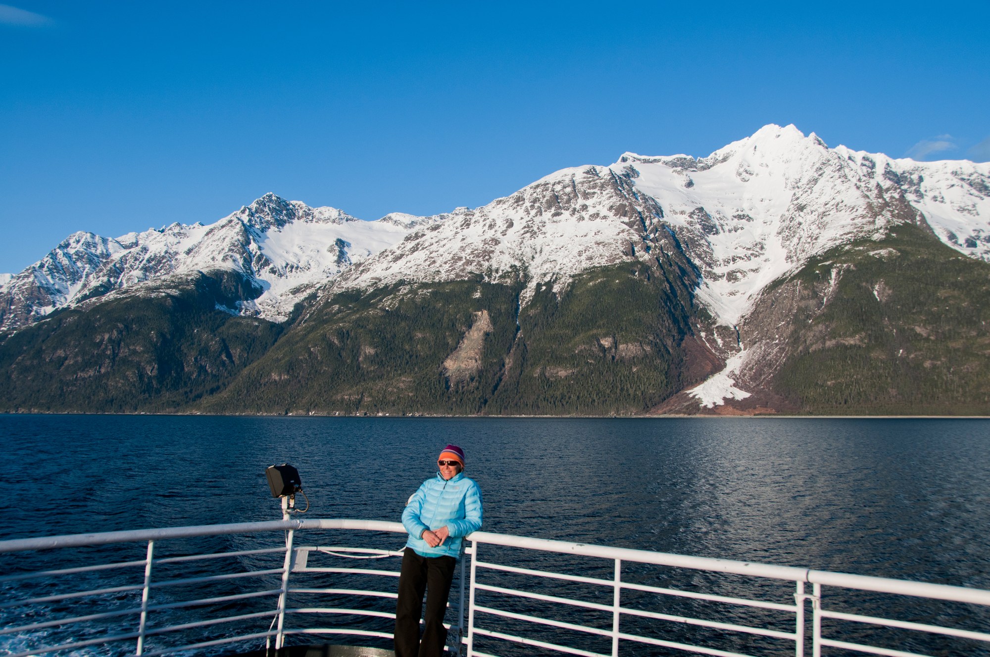
Skagway sits at the head of Taiya Inlet, the gold rush gateway to the Chilkoot Trail and White Pass, with a preserved boardwalk historic district, the White Pass & Yukon Route railway and the Dyea townsite nearby.

A Tlingit town on the Gulf of Alaska between the Saint Elias Mountains and the sea, with the Situk River's steelhead and salmon, surf beaches, Hubbard Glacier and the Malaspina Forelands.