
Cultural site
Skagway Historic District
- Site type
- Historic site
- Fee
- 0 USD
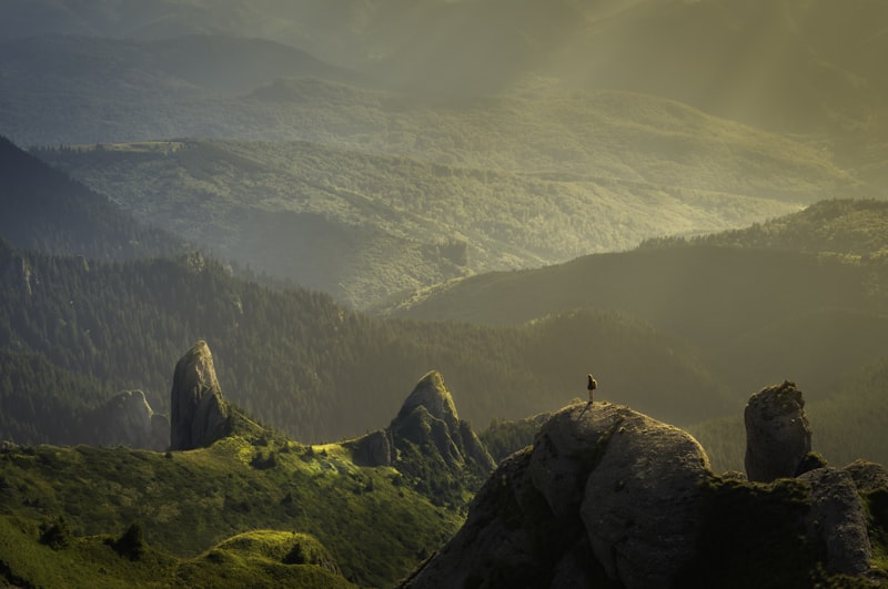
Almost 100 gold rush buildings along Broadway and the boardwalks, the heart of Klondike Gold Rush NHP.
Alaska local guide
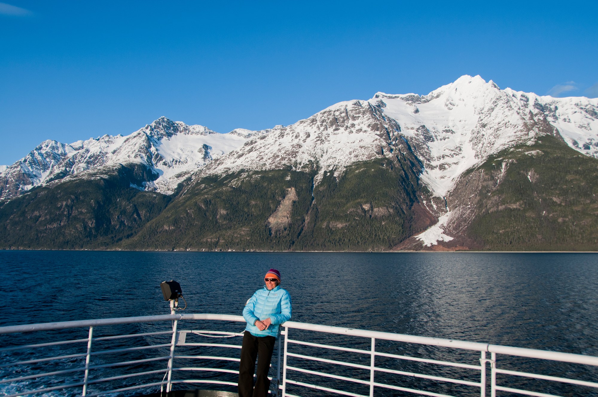
Skagway sits at the head of Taiya Inlet, the gold-rush gateway to the Chilkoot Trail and White Pass, with a preserved boardwalk historic district.
Southeast / Inside Passage
Overview
Skagway sits at the head of Taiya Inlet, the gold-rush gateway to the Chilkoot Trail and White Pass, with a preserved boardwalk historic district.
Explore
Most of Skagway's sights are restored gold rush buildings within a few blocks of the cruise docks, and the National Park Service sites are free.
Cultural site
Almost 100 gold rush buildings along Broadway and the boardwalks, the heart of Klondike Gold Rush NHP.

Cultural site
Historic cemetery on the north edge of Skagway, a flat walk from downtown on the way to Lower Reid Falls.
Cultural site
Dyea cemetery for gold seekers killed in the Palm Sunday avalanche of April 3, 1898.

Museum
The home of Skagway's founding Moore family at 5th and Spring, with Captain William Moore's 1887 cabin.

Museum
The park visitor center in the 1898 White Pass & Yukon Route depot at 2nd and Broadway: exhibits, ranger talks and a film.

Museum
Soapy Smith's gold rush saloon, a roadside museum since 1935, reopened by NPS in 2016; free timed tickets.

Museum
A Broadway saloon built in 1898, closed by prohibition in 1916 and restored by NPS to its 1904 look.
Museum
City museum of gold rush and local history in the 1899 McCabe College building at 7th and Spring, shared with City Hall.

Glacier
Glacier above the Skagway River valley, reached by train and a short trail from the WP&YR Glacier stop.
Glacier
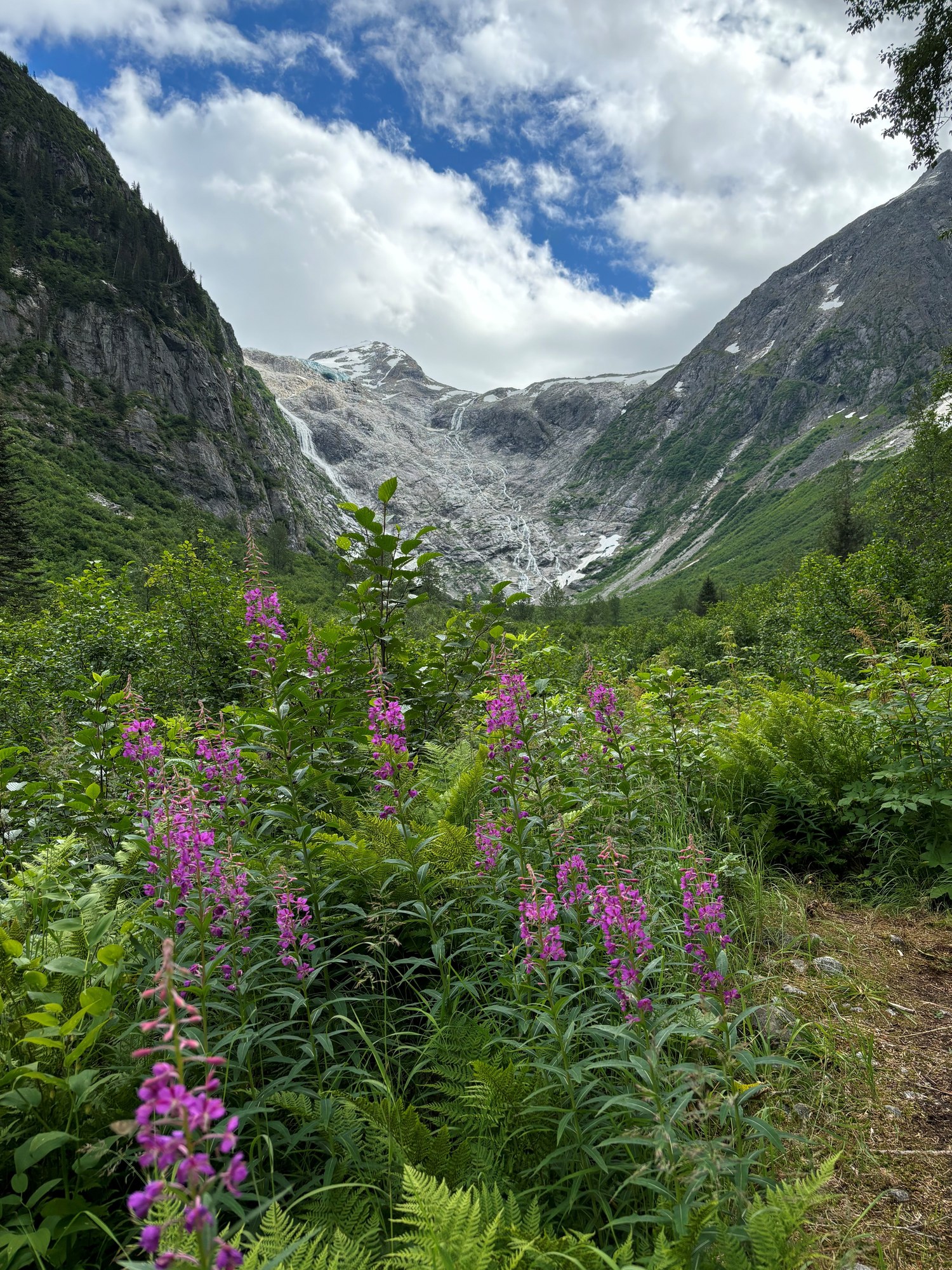
Hanging glacier at the head of the East Fork Skagway River, seen from the Denver trail or by helicopter to a sled dog camp.
Ghost town
Gold rush rival to Skagway at the foot of the Chilkoot Trail, now a quiet NPS site with cemeteries, wharf pilings and wild iris.
Ghost town
Gold rush settlement ruins near mile 7.7 of the Chilkoot Trail, with an old boiler and stoves among the trees.
Viewpoint
The 2,865-foot pass on the US-Canada border, reached by the WP&YR Summit Excursion or the Klondike Highway.
Waterfall
Cascading falls a short walk beyond the Gold Rush Cemetery, on the flat walk north of town.
Explore
The local skyline shapes weather and access.
Mountain
5,321-foot peak about 4.5 miles southwest of Skagway, named for President Harding's 1923 visit.
Mountain
The peak above Dyea Road, climbed by a difficult 10-mile round-trip trail with about 5,000 feet of gain.
Explore
Protected lands have different access, camping and activity rules.
national forest
Land manager: USFS
other
Land manager: NPS
Explore
Hikes start right from downtown or from the Dyea Road, and the railway drops hikers at two glacier trailheads.
Trail
The 33-mile gold rush route from Dyea over Chilkoot Pass to Bennett, BC; permits required for overnight trips.
33.0 mi
Trail
Train-access trail from the WP&YR Glacier stop (mile 14) through old-growth forest to the Laughton Glacier cabin and moraine.
1.5 mi
Trail
Train-access trail from the Denver Caboose cabin up the East Fork Skagway River valley toward Denver Glacier.
4.5 mi
Trail
Difficult 10-mile round trip from Dyea Road with 5,000 feet of climbing; dangerous above treeline.
5.0 mi

Trail
The most popular hike from downtown: a short steep climb to Lower Dewey Lake and a loop through pine forest around it.
0.9 mi
Trail
Steep climb of about 3,100 feet from Lower Dewey Lake to an alpine lake with a public shelter and rental cabin.
3.0 mi
Trail
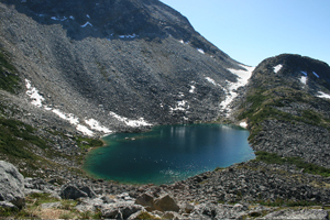
Alpine extension from Upper Dewey Lake to the Devil's Punchbowl tarn; 2.5 miles round trip and 600 feet more climbing.
1.3 mi
Trail
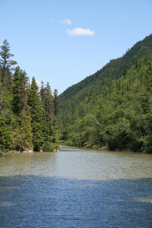
Dewey Lakes system trail to Icy Lake and Upper Reid Falls; 7 miles round trip with 850 feet of climbing.
3.5 mi

Trail
Forest trail from Lower Dewey Lake to a beach on Taiya Inlet with a picnic table and old sawmill remains.
3.5 mi
Trail
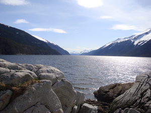
Easy walk across the Skagway River footbridge to Yakutania Point, with a picnic shelter and harbor seal viewing.
0.5 mi
Trail
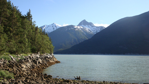
Easy trail beyond Yakutania Point to Smuggler's Cove, with a picnic shelter and privy.
2.0 mi
Trail
Flat walk north of town to the Gold Rush Cemetery and Lower Reid Falls; 4 miles round trip from downtown.
2.0 mi
Trail
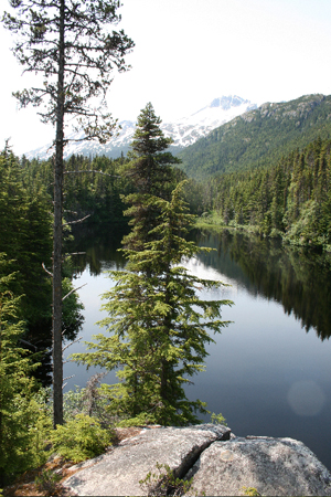
Steep 2-mile climb of about 1,500 feet near Dyea to Lost Lake, a rainbow trout lake.
2.0 mi
Explore
Fishing here is mostly for enhanced king salmon in Taiya Inlet and trout in hike-in lakes.
Fishing spot
Boat fishery for enhanced king salmon in Taiya Inlet from June to August, launching at the Skagway harbor ramp.
Fishing spot
Downtown creek where returning hatchery kings and pink salmon gather in July and August.
Fishing spot
Hike-in lake a mile above town with Dolly Varden and brook trout (stocked before 1950, now 10 to 12 inches).
Fishing spot
Hike-in rainbow trout lake above Dyea; bait allowed, 2 rainbows a day, 9 inches or longer.
River
17-mile river flowing to Taiya Inlet at Dyea; the Chilkoot Trail follows its valley.
River
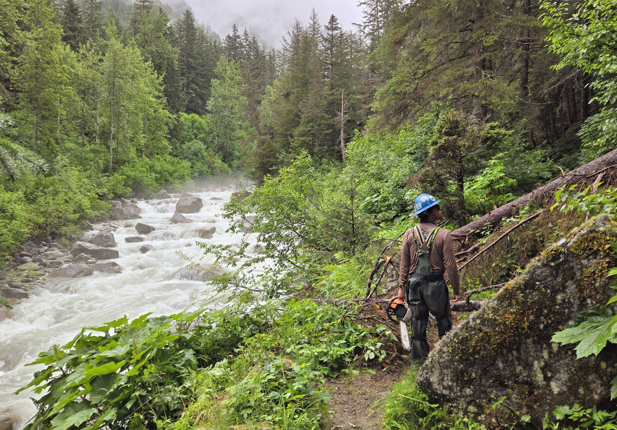
The river that cuts through Skagway, followed by the WP&YR railway and the Klondike Highway up toward White Pass.
A field companion
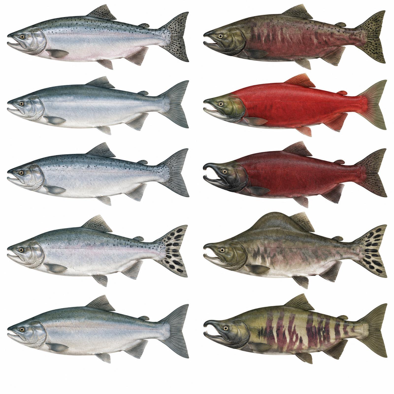
King
Usually 10–20 lb
Red
About 4–8 lb
Silver
Usually 8–12 lb
Humpy
Average 3.5–5 lb
Dog / Keta
About 6–12 lb
Illustrations are interpretive; identify fish by several traits together, not pupil shape alone. Adult sizes vary by stock. Official ADF&G identification chart
Current ADF&G sport-fishing regulations and emergency orders
Explore
Skagway lies in Game Management Unit 1D, the part of Unit 1 north of Eldred Rock that also covers Haines.
Do not assume that public land allows sport hunting. Verify the precise unit, land designation and any permit before planning.
Game management unit: 1D
Nonresidents: Nonresidents hunting brown/grizzly bear, Dall sheep or mountain goat need a licensed Alaska guide or an eligible Alaska-resident relative; nonresident aliens require a guide for all big game. Check current permits, seasons and emergency orders.
Seasons, permits and land restrictions change. Check current Alaska Department of Fish and Game regulations before planning a hunt.
Content coming soon
Explore
Wildlife viewing here follows the fish: eulachon in spring and salmon in late summer bring seals, eagles and bears to the river mouths.
Common in Ketchikan; Prince of Wales, Mitkof and the mainland. Glacier bears, a rare blue-gray phase, live near Yakutat and Glacier Bay.
ABC islands, the mainland and Yakutat; in Ketchikan area on the mainland incl. Misty Fiords and Hyder.
Marine mammal of the Inside Passage.
Dall's porpoises in Southeast waters.
Listed by USFS in Misty Fiords.
Marine mammal of Southeast.
Mainland and Baranof.
Everywhere; thousands gather on the Chilkat River in late fall (Oct–Nov).
Outer coast and Misty Fiords.
Listed for Misty Fiords.
Along the mainland rivers.
Bear country
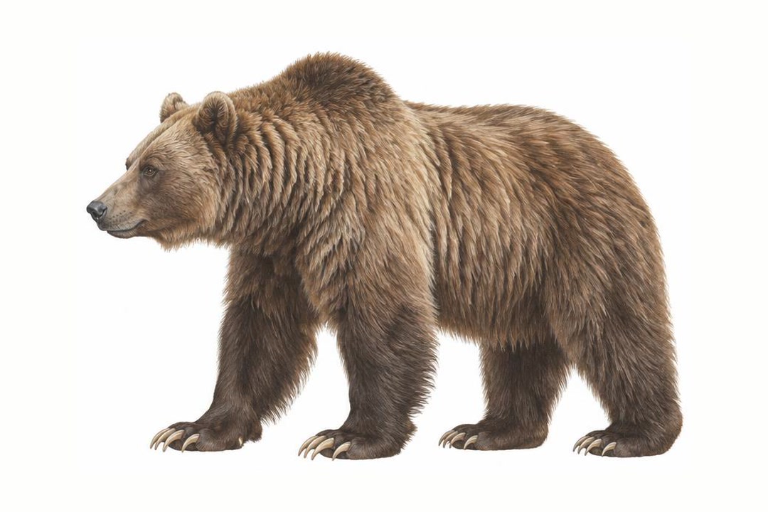
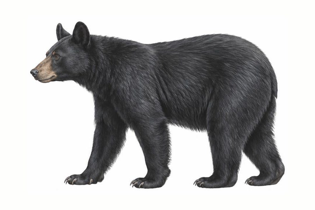
Both species vary in coat color. Never approach a bear to identify it. Stay alert, make noise in dense cover, give bears space, secure food and garbage, and never run. Carry accessible bear spray and know how to use it.
ADF&G bear safety guidanceExplore
A four-wheel-drive vehicle does not create a right to drive off-road.
Explore
Water trips require cold-water equipment and a realistic evacuation plan.
Taiya River near Dyea
Difficulty: Reach- and weather-dependent; obtain local advice
Season: Generally summer; verify water levels, ice and operator schedules
Content coming soon
Explore
Camping ranges from city RV parks by the harbor to backcountry camps along the Chilkoot Trail.

Campground
NPS campground 9 miles from Skagway and half a mile from the Chilkoot trailhead: 22 first-come sites at $10 a night.

Campground
First Chilkoot Trail campground, 4.8 miles from the trailhead, with six tent sites and Irene Glacier views.

Campground
Chilkoot Trail camp at mile 7.7 with 11 sites, a warming cabin and the Canyon City townsite half a mile away.

Campground
Quiet Chilkoot Trail camp at mile 10.7 with 11 sites; the least-used campground on the US side.

Campground
Last US campground before Chilkoot Pass, at mile 13, with 27 tent sites and nightly ranger briefings.
Campground
City-owned waterfront RV park by the ferry terminal and small boat harbor: 34 back-in sites with 30-amp power and water.
Campground
City-owned RV park on State Street with 30 pull-through sites (30-amp electric), showers and a laundromat.
Public-use cabin
Forest Service cabin sleeping six below Laughton Glacier, reached by the WP&YR train to mile 14 and a 1.5-mile trail.
Public-use cabin
Retired WP&YR caboose turned Forest Service cabin, 5.5 miles north of Skagway beside the railway; sleeps six.
Public-use cabin
City of Skagway rental cabin at Upper Dewey Lake, a steep 3,100-foot climb above town; sleeps six.
Explore
Local operators and cultural institutions offer different ways to explore.
Operator
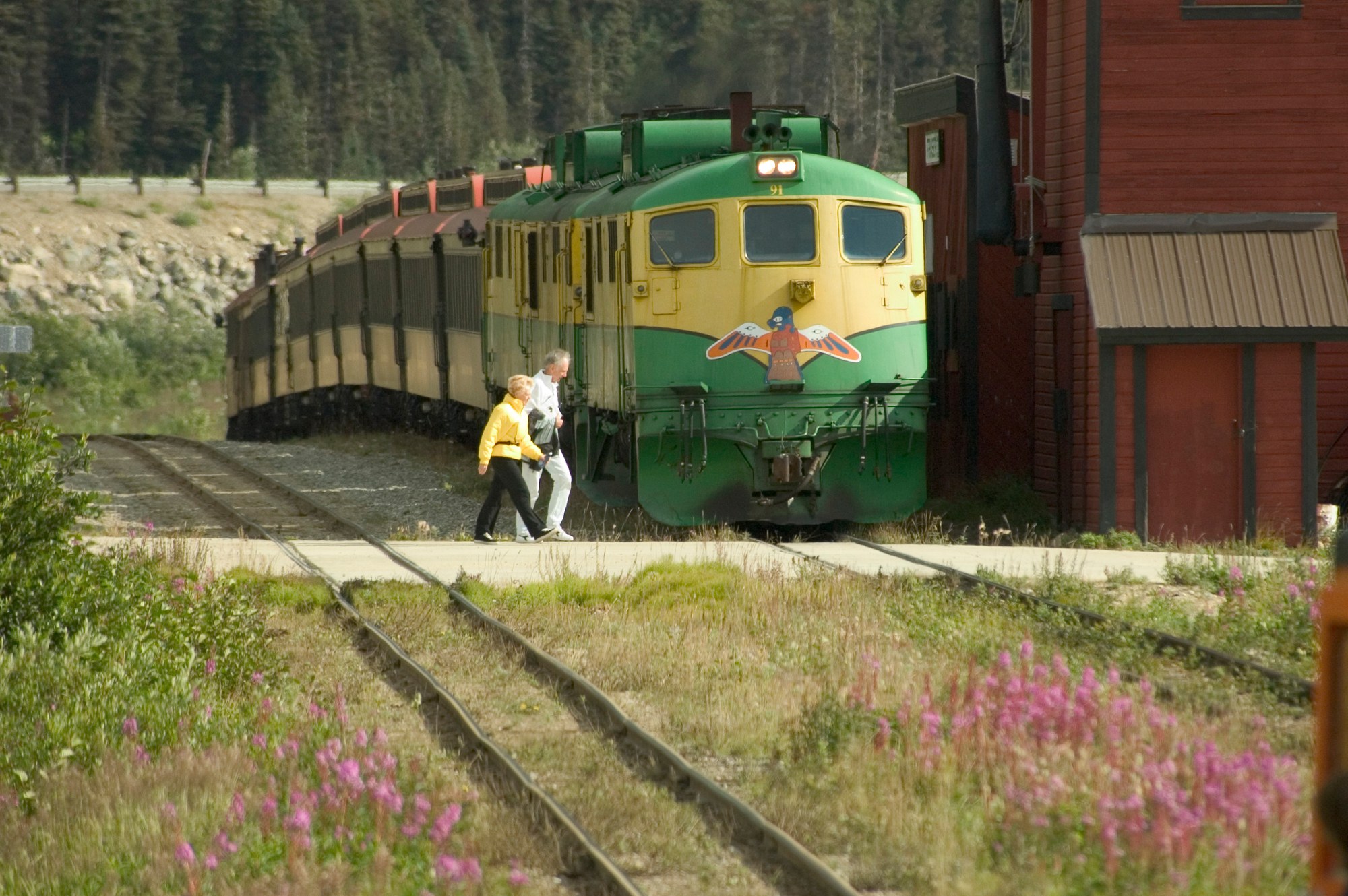
Narrow-gauge railway built 1898 to 1900 from Skagway over White Pass; summit excursions plus hiker drop-offs at Denver and Laughton.
Operator
Helicopter glacier landings and a Denver Glacier sled dog camp tour from Skagway.
Operator
City-owned operator of the Pullen Creek and Garden City RV parks, managed under contract.
Explore
Skagway is one of the few Inside Passage towns with a road out, and the ferry, airport and railway are all within walking distance of downtown.
Airport
State airport at the edge of town with a 3,550-foot paved runway; Alaska Seaplanes is the only scheduled airline.
Ferry terminal
Alaska Marine Highway terminal at Mile 0 of the Klondike Highway, steps from downtown.
Harbor
City harbor on Congress Way with transient moorage for boats up to 150 feet, a launch ramp, pump-out and seasonal showers.
Rail station
White Pass & Yukon Route depot on Second Avenue, departure point for summit excursions and hiker trains.
Rail station
Hiker flag stop at the Denver Caboose Cabin and Denver Glacier trailhead, about 6 miles up the line.
Rail station
Hiker flag stop for the Laughton Glacier Trail and Forest Service cabin, 14 miles up the line.
Gallery

Southeast / Inside Passage
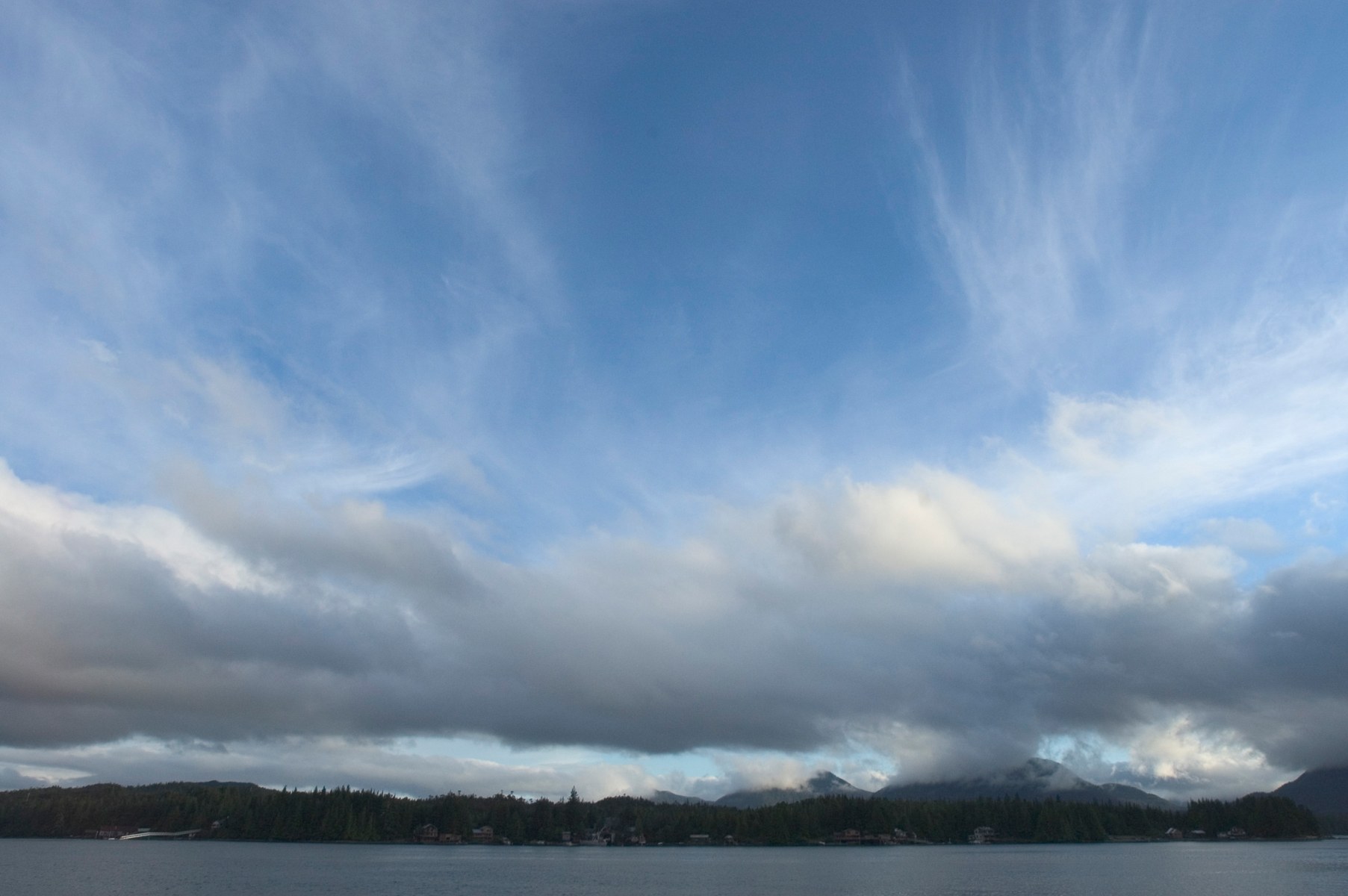
Ketchikan is a fishing port and cultural hub on Revillagigedo Island. Misty Fjords' granite walls, lakes and rainforest lie east of town.

A large, roadable Tongass island with Haida and Tlingit villages, totem parks, El Capitan Cave, steelhead rivers and more than 20 public-use cabins.
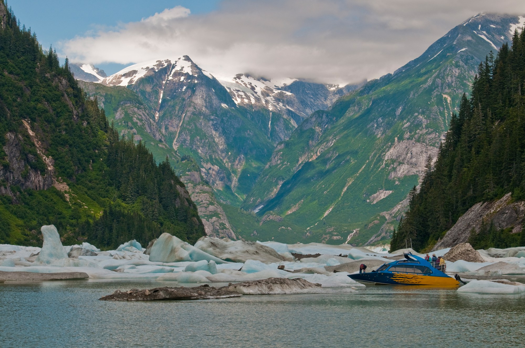
Fishing towns beside the Stikine River delta, with LeConte Glacier, Anan bear viewing, Tongass cabins and road camps on Mitkof and Wrangell islands.
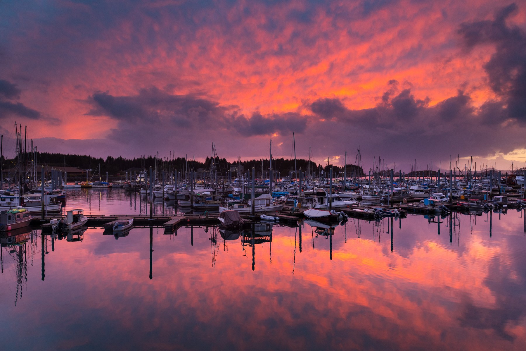
Pacific-facing Sitka pairs living Tlingit culture and Russian-era landmarks with rainforest trails, island cabins and boat trips on Sitka Sound.
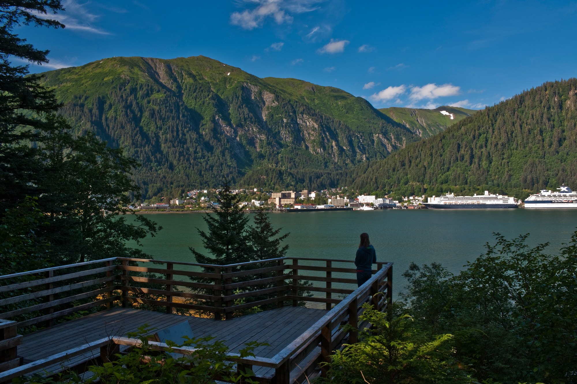
Alaska's capital, the road-accessible Mendenhall Glacier, Admiralty Island's brown bears and the tidewater glaciers of Glacier Bay National Park, with Gustavus and Hoonah as gateways.
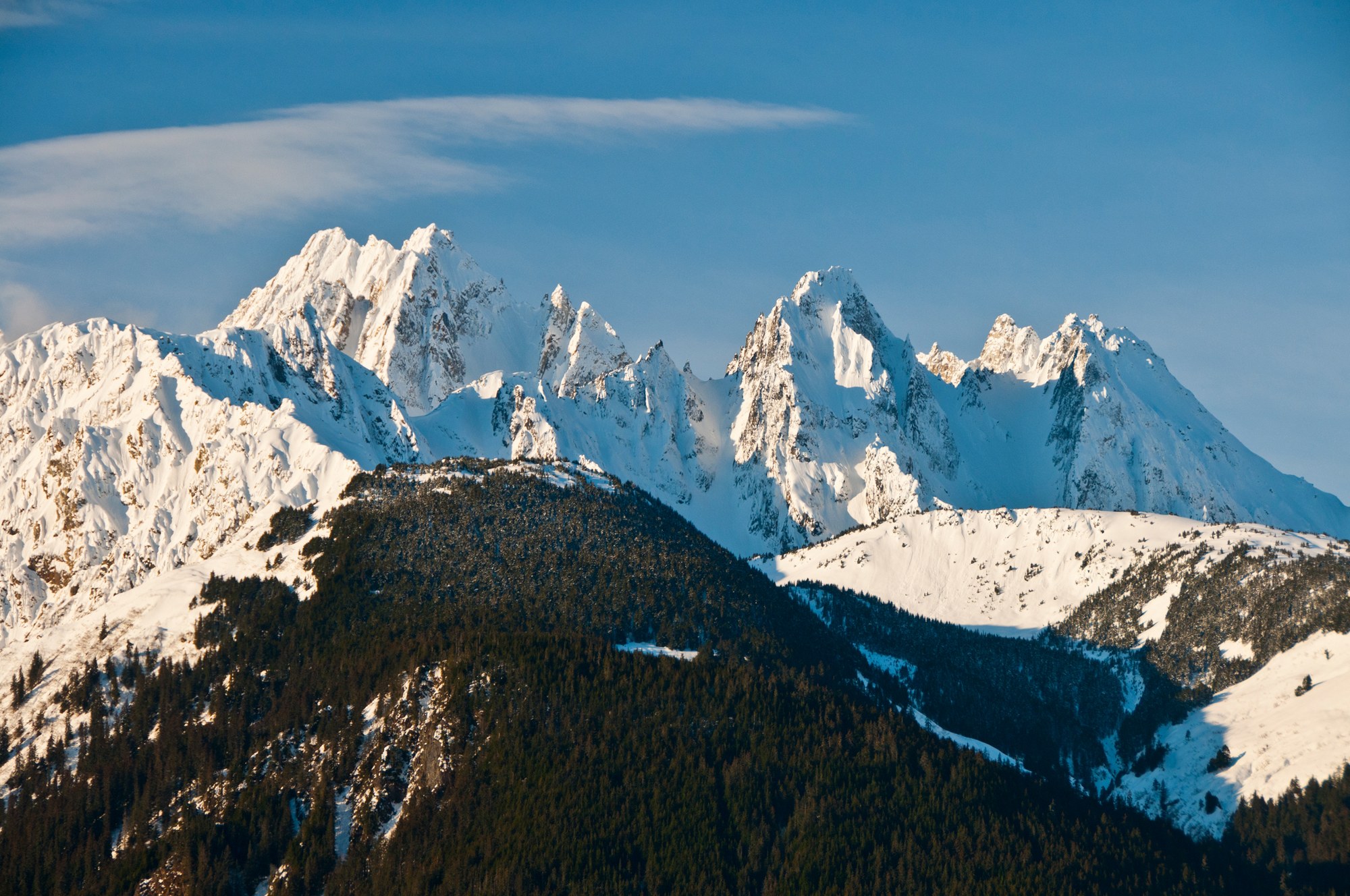
Haines sits on the Chilkat Peninsula between the Chilkat and Chilkoot rivers, below the Chilkat Range, with the Haines Highway running north past the Alaska Chilkat Bald Eagle Preserve into Canada.

A Tlingit town on the Gulf of Alaska between the Saint Elias Mountains and the sea, with the Situk River's steelhead and salmon, surf beaches, Hubbard Glacier and the Malaspina Forelands.