Campground
Sheep Camp Campground (Chilkoot Trail)
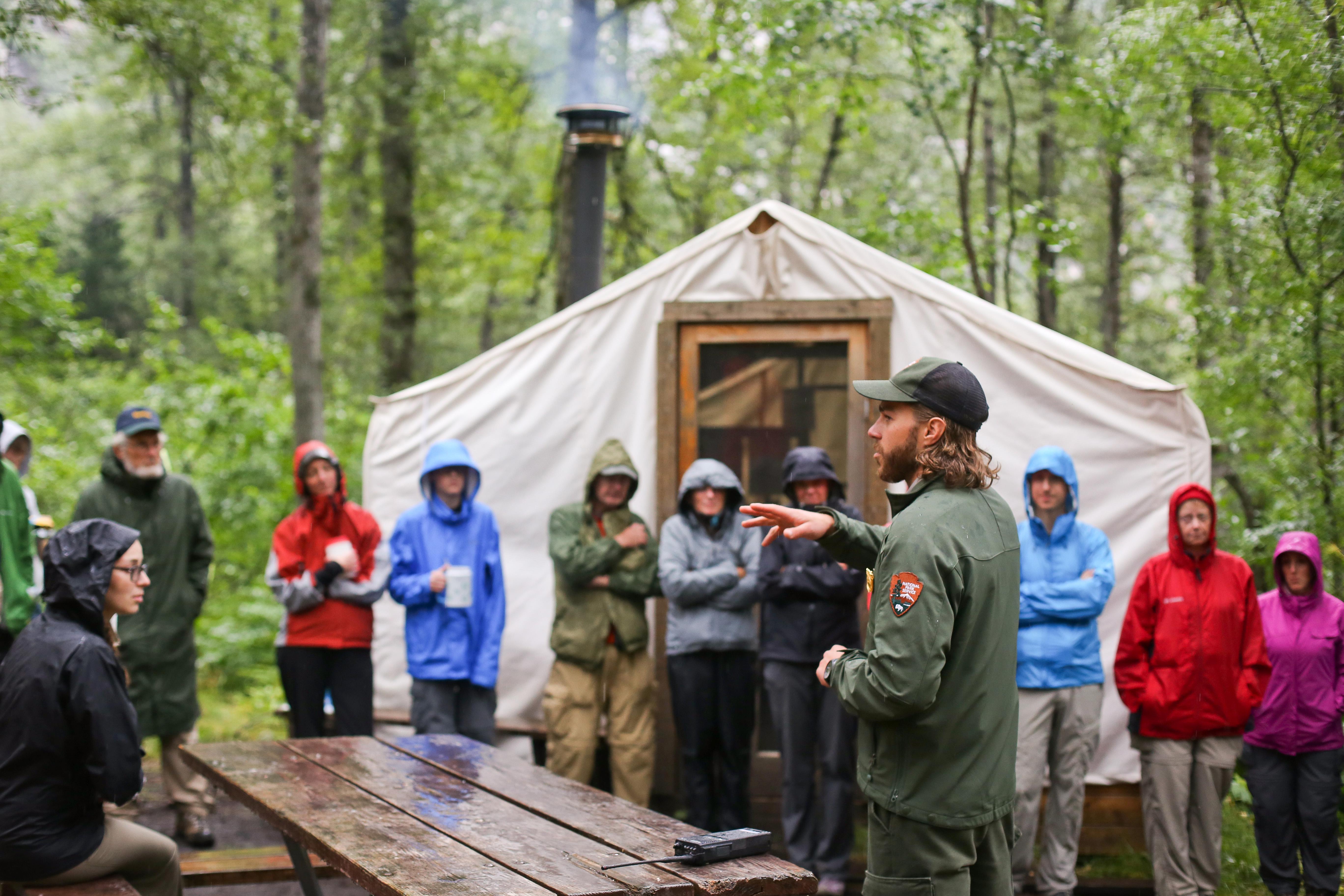
Last US campground before Chilkoot Pass, at mile 13, with 27 tent sites and nightly ranger briefings.
5.1 mi
Viewpoint
The 2,865-foot pass on the US-Canada border, reached by the WP&YR Summit Excursion or the Klondike Highway.
White Pass crests on the US-Canada border at about 2,865 feet (WP&YR milepost 20.4). In 1897 Captain William Moore and Keish (Skookum Jim) scouted the route; about 3,000 pack animals died on the White Pass Trail, earning it the name Dead Horse Trail. Today the WP&YR Summit Excursion climbs to the pass in about 2.5 to 2.75 hours round trip past Bridal Veil Falls, Inspiration Point and Dead Horse Gulch, and the Klondike Highway crosses nearby. Mountain goats are often seen on the cliffs from highway pullouts.
Wildlife viewing · Photography
Last updated 2026-11-12
Campground
Last US campground before Chilkoot Pass, at mile 13, with 27 tent sites and nightly ranger briefings.
5.1 mi
Campground
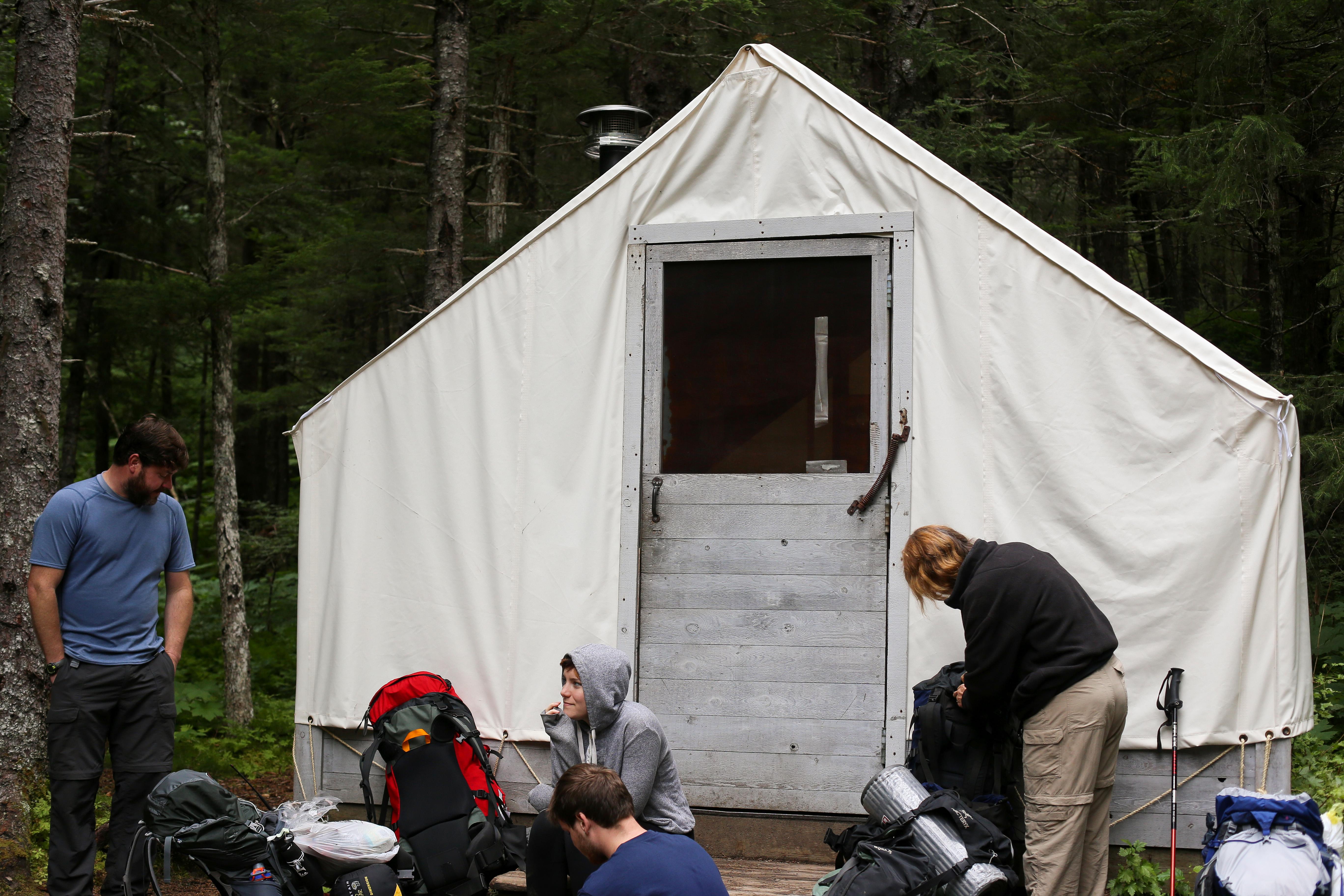
Quiet Chilkoot Trail camp at mile 10.7 with 11 sites; the least-used campground on the US side.
5.5 mi
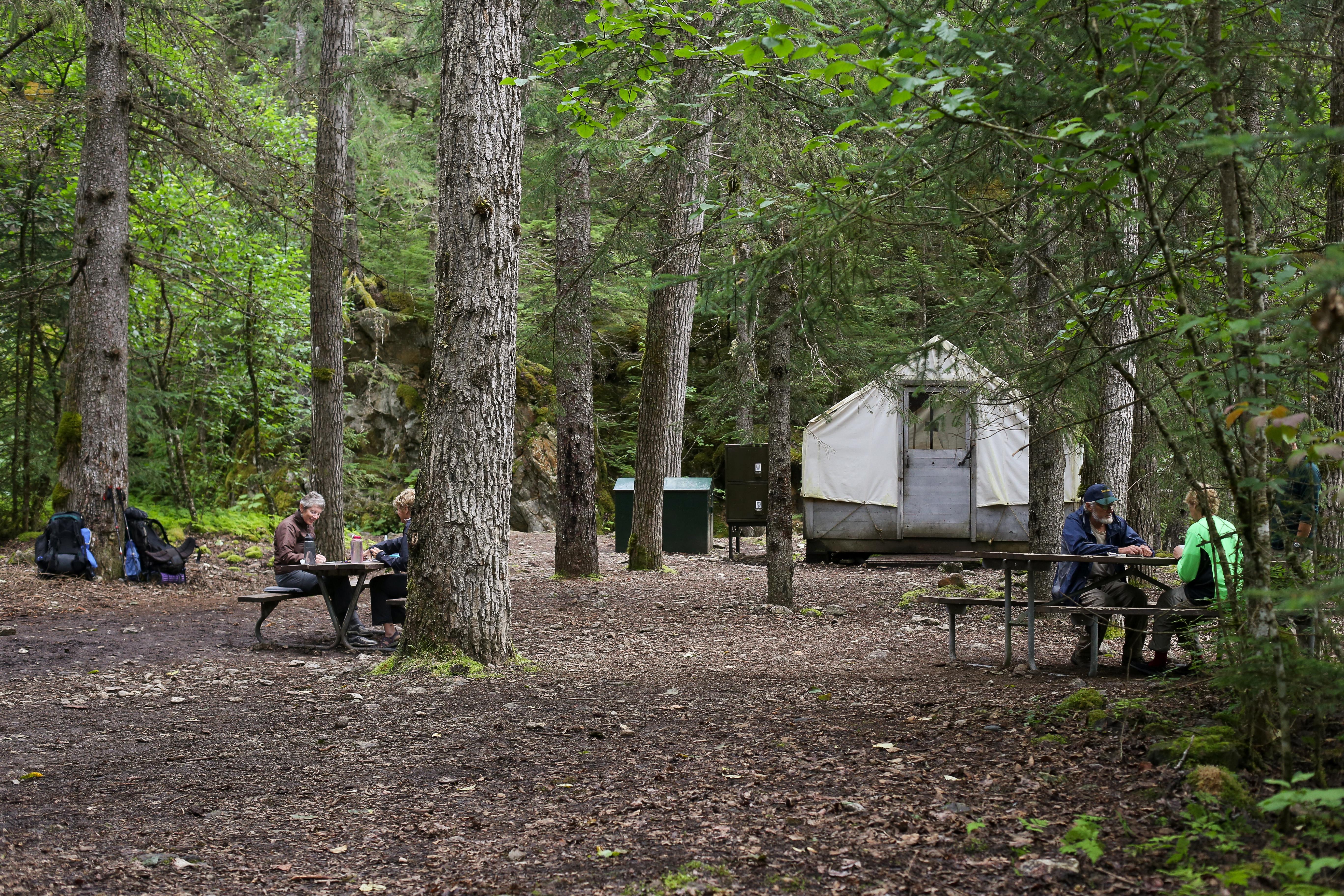
Campground
Chilkoot Trail camp at mile 7.7 with 11 sites, a warming cabin and the Canyon City townsite half a mile away.
6.7 mi
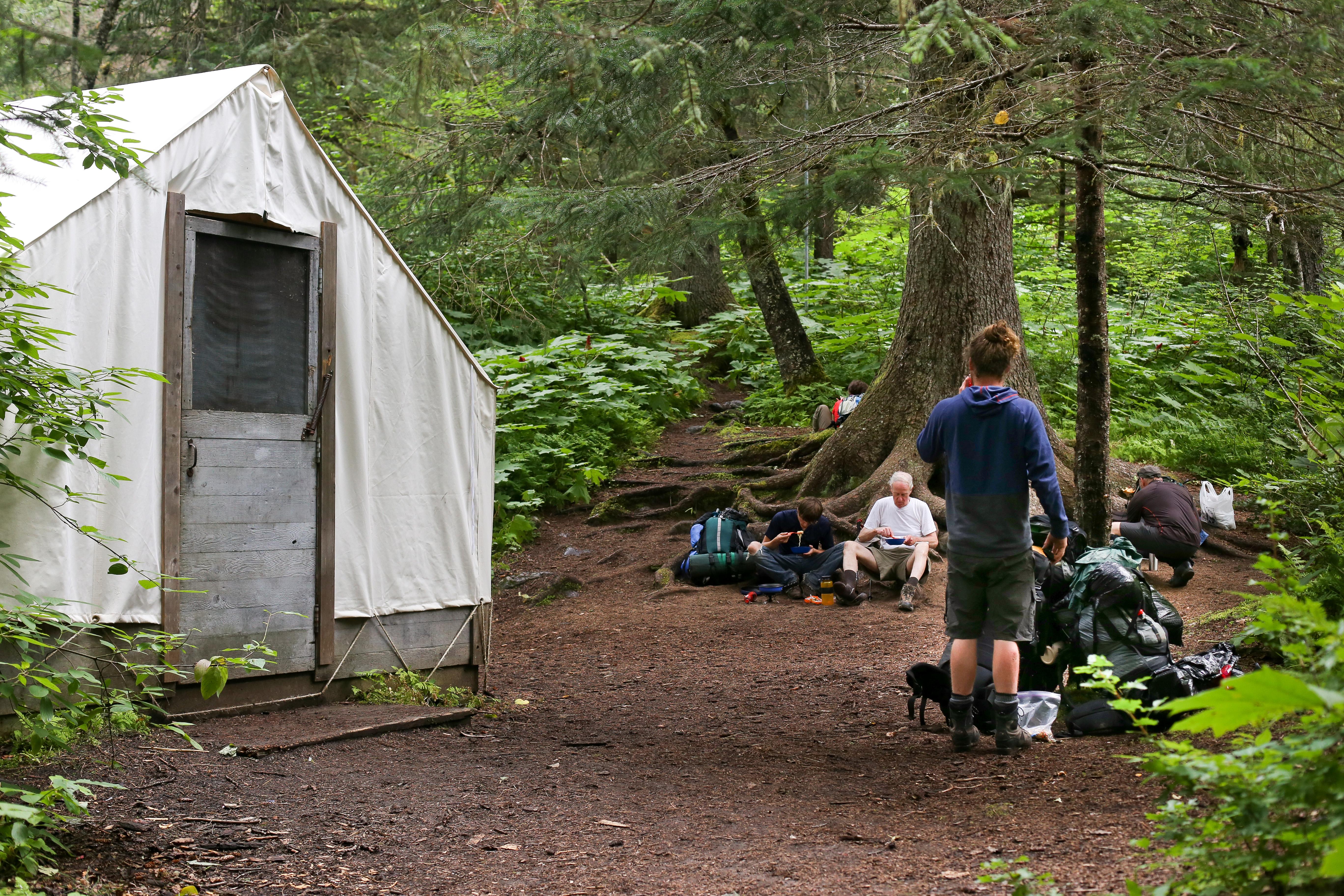
Campground
First Chilkoot Trail campground, 4.8 miles from the trailhead, with six tent sites and Irene Glacier views.
7.7 mi
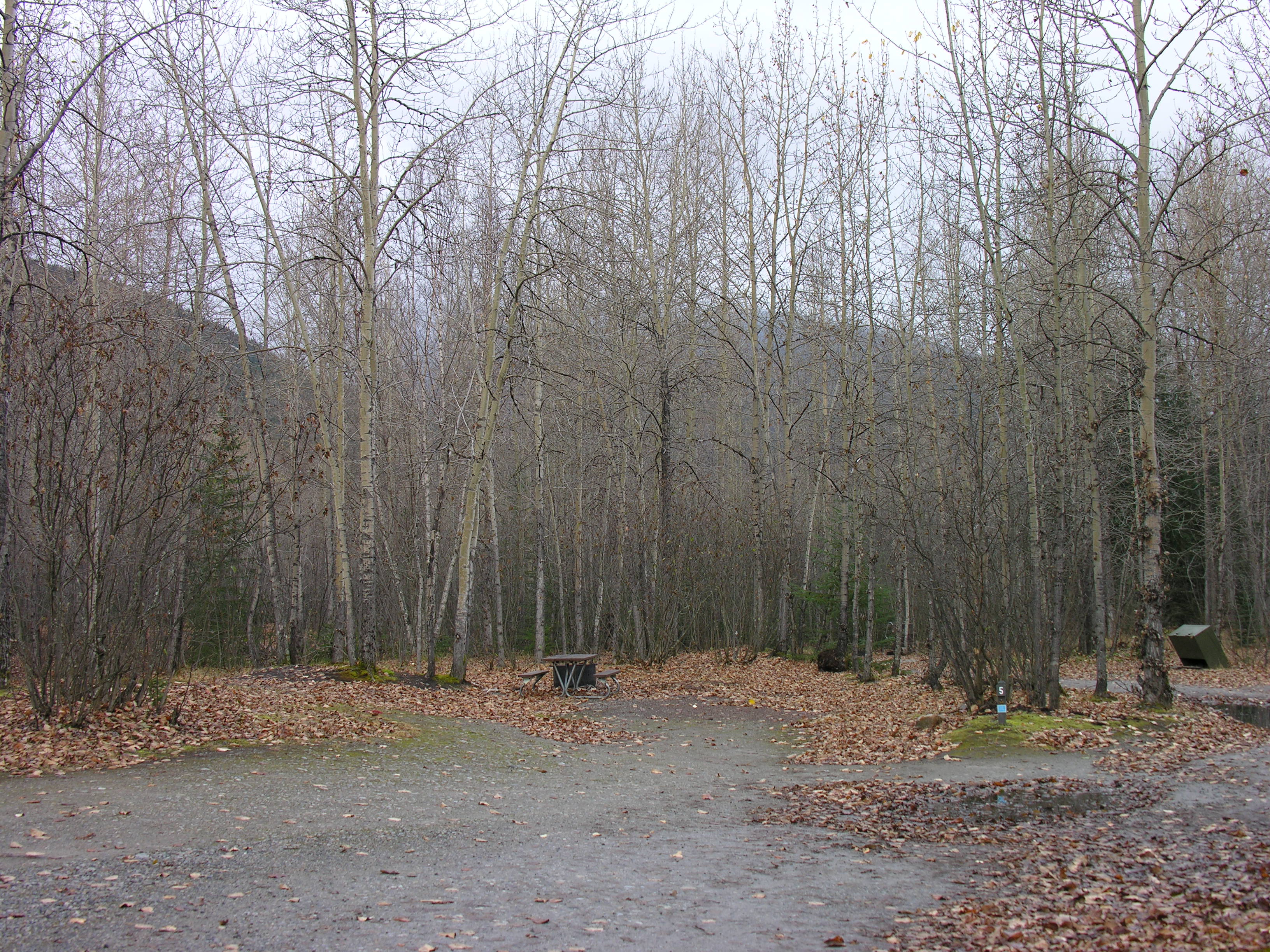
Campground
NPS campground 9 miles from Skagway and half a mile from the Chilkoot trailhead: 22 first-come sites at $10 a night.
11.0 mi
Public-use cabin
Forest Service cabin sleeping six below Laughton Glacier, reached by the WP&YR train to mile 14 and a 1.5-mile trail.
5.8 mi
Public-use cabin
Retired WP&YR caboose turned Forest Service cabin, 5.5 miles north of Skagway beside the railway; sleeps six.
9.1 mi
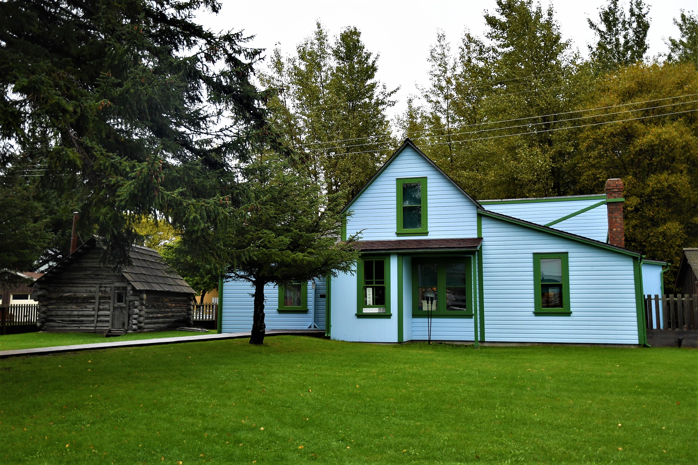
Museum
The home of Skagway's founding Moore family at 5th and Spring, with Captain William Moore's 1887 cabin.
13.3 mi
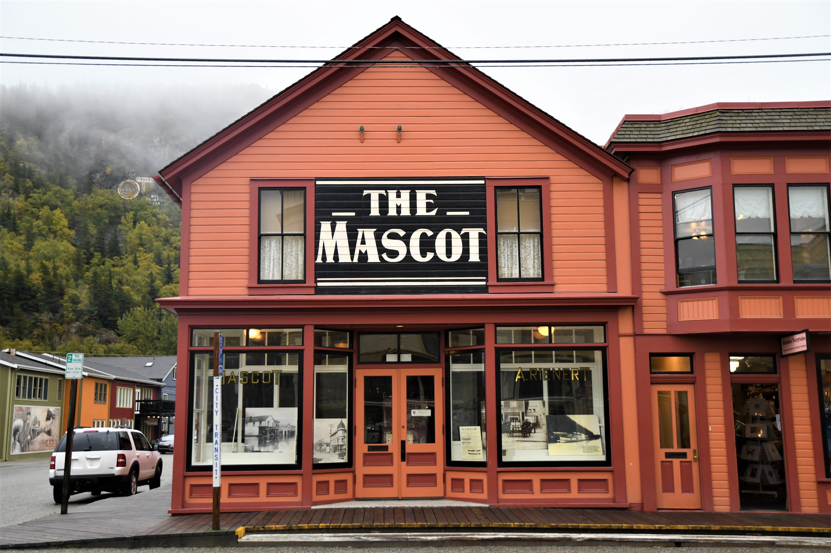
Museum
A Broadway saloon built in 1898, closed by prohibition in 1916 and restored by NPS to its 1904 look.
13.4 mi
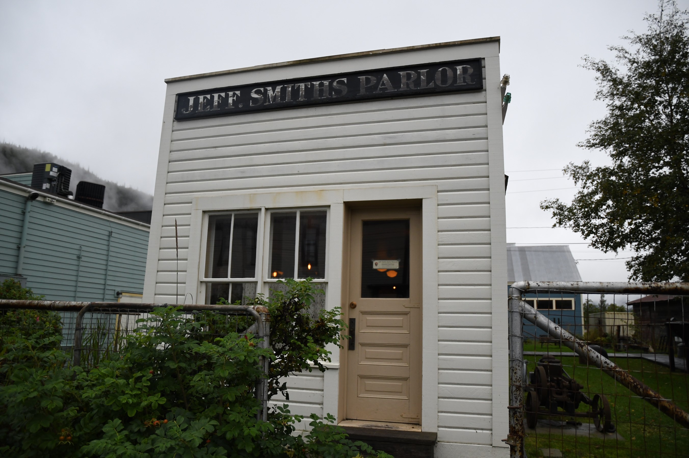
Museum
Soapy Smith's gold rush saloon, a roadside museum since 1935, reopened by NPS in 2016; free timed tickets.
13.4 mi
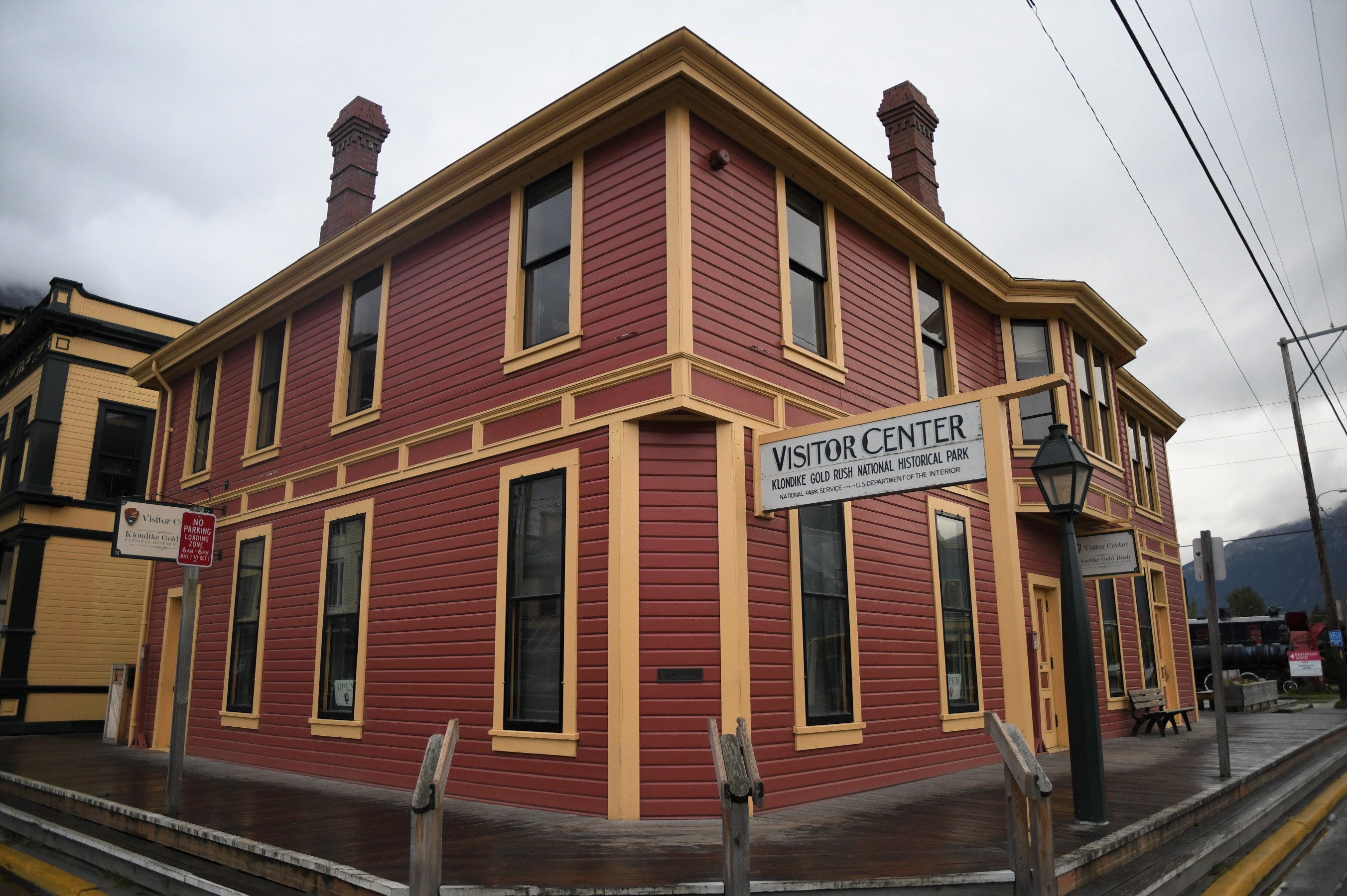
Museum
The park visitor center in the 1898 White Pass & Yukon Route depot at 2nd and Broadway: exhibits, ranger talks and a film.
13.4 mi