Cultural site
Cannon Beach WWII Cannons
- Site type
- Historic site
- Owner type
- Federal agency
- Owner name
- USDA Forest Service
World War II-era cannons set along the beach at Cannon Beach, with a vehicle-accessible picnic site.

Alaska local guide
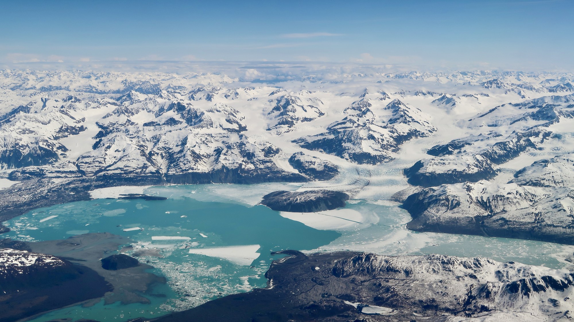
Yakutat lies on the Gulf of Alaska beside enormous icefields, the Situk River and the traditional lands of the Yakutat Tlingit people.
Southeast / Inside Passage
Overview
Yakutat lies on the Gulf of Alaska beside enormous icefields, the Situk River and the traditional lands of the Yakutat Tlingit people.
Explore
The scenery is huge, and most of it is seen by boat or small plane.
Cultural site
World War II-era cannons set along the beach at Cannon Beach, with a vehicle-accessible picnic site.

Cultural site
The original Fish Train locomotive and interpretive panels at the town end of the Fish Train Trail.
Glacier
North America's largest tidewater glacier, 76 miles long, calving into Disenchantment Bay; seen by boat or air from Yakutat.

Glacier
The largest piedmont glacier in North America, a National Natural Landmark on the coast west of Yakutat Bay.
Native village
Tlingit community on Yakutat Bay, the only permanent settlement on 275 miles of Gulf coast; Yaakwdáat, "where canoes rest."

Viewpoint
A bay opened in the last century by retreating glaciers below Mount Saint Elias, reached by bush plane for sea kayaking.

Viewpoint
Wide sandy surf beach near Yakutat Airport with WWII cannons, beach camping and picnic sites.
Explore
Explore
Protected lands have different access, camping and activity rules.
national forest
Land manager: USFS
national forest
Land manager: USFS
national park
Land manager: NPS
national park
Land manager: NPS
Explore
Trails are short and mostly flat, but low ground floods and bears and moose are common.
Trail
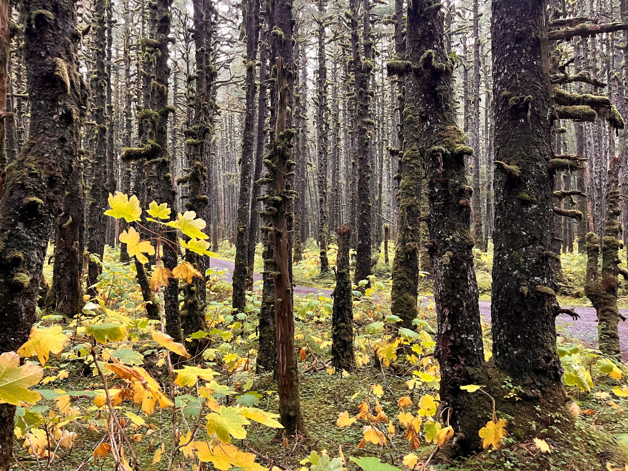
Forest path from Situk Landing Road to the lower Situk below the ADF&G weir, then upriver to the Oxbow.
2.5 mi
Trail
Muskeg and old-growth trail to Situk Lake Cabin, with Brabazon Mountain views.
3.1 mi
Trail
Wilderness extension from Situk Lake Cabin to Mountain Lake below the Brabazon Mountains.
2.0 mi
Trail
Short walk over a terminal moraine to Russell Fiord, ringed by trees killed when Hubbard Glacier dammed the fjord.
0.8 mi
Trail
Level rail-trail on the old Yakutat Southern Railroad grade, from town near the school to the airport end.
2.5 mi
Trail
Level loop around a saltwater lagoon in town, past a Tlingit memorial totem pole.
0.7 mi

Trail
Short forest trail at the end of Dangerous River Road to iceberg-dotted Harlequin Lake below Yakutat Glacier.
0.8 mi
Trail
Riverside trail from Nine Mile Bridge to the Middle Situk cabins and airstrip, with many fishing access points.
4.0 mi

Shelter / lean-to
Free two-room A-frame on the airstrip at the end of Dangerous River Road, about a mile from Harlequin Lake.
Explore
Yakutat is known for the Situk River, and Yakutat Bay adds halibut and salmon charters; check the 2026 ADF&G Yakutat booklet and emergency orders before you go.
Fishing spot
Remote coastal river about 30 miles southeast of Yakutat, known for fall coho; fly in to the Forest Service cabin.
Fishing spot
Yakutat's famous steelhead, sockeye and coho river: a 13.5-mile float from Nine Mile Bridge to the ocean.
Fishing spot
Road-system river near town with fly and lure coho fishing; upstream of the bridge open Jan 1 to Aug 14.
Fishing spot
Saltwater lagoon by town with a coho fishery; the eastern part is open Oct 1 to Aug 14.
Fishing spot
Charter-boat halibut, lingcod, rockfish and salmon fishing in Yakutat Bay and the outer coast.
River
Yakutat's famous steelhead and salmon river, crossed by Forest Highway 10 at Nine Mile Bridge.
A field companion
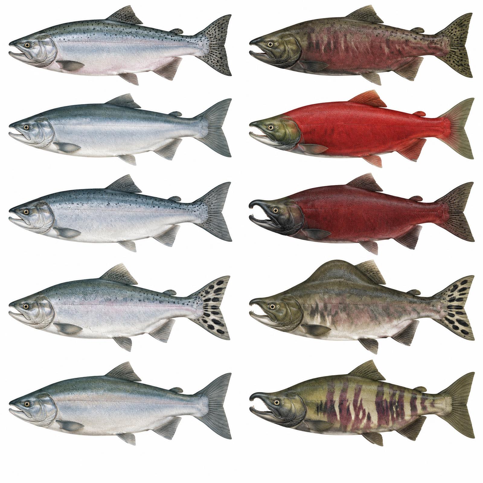
King
Usually 10–20 lb
Red
About 4–8 lb
Silver
Usually 8–12 lb
Humpy
Average 3.5–5 lb
Dog / Keta
About 6–12 lb
Illustrations are interpretive; identify fish by several traits together, not pupil shape alone. Adult sizes vary by stock. Official ADF&G identification chart
Current ADF&G sport-fishing regulations and emergency orders
Explore
Game Management Unit 5 runs from Cape Fairweather to Icy Bay, and many hunts are by registration permit.
Seasons, permits and land restrictions change. Check current Alaska Department of Fish and Game regulations before planning a hunt.
Explore
Glaciers, estuaries and forelands draw big concentrations of birds and mammals through the year.
ABC islands, the mainland and Yakutat; in Ketchikan area on the mainland incl. Misty Fiords and Hyder.
Summer feeding; bubble-net feeding in Frederick Sound and Icy Strait, May–September.
Marine mammal of the Inside Passage.
Marine mammal of the Inside Passage.
Marine mammal of Southeast.
Marine mammal of Southeast.
Mainland and Baranof.
Everywhere; thousands gather on the Chilkat River in late fall (Oct–Nov).
Along the mainland rivers.
Bear country
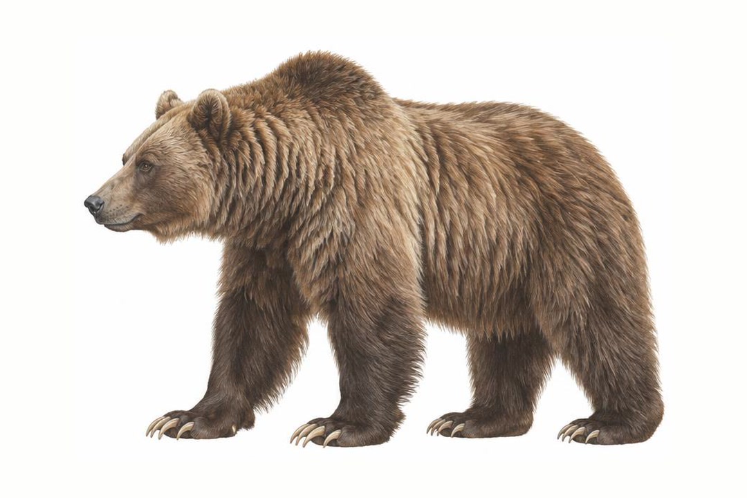
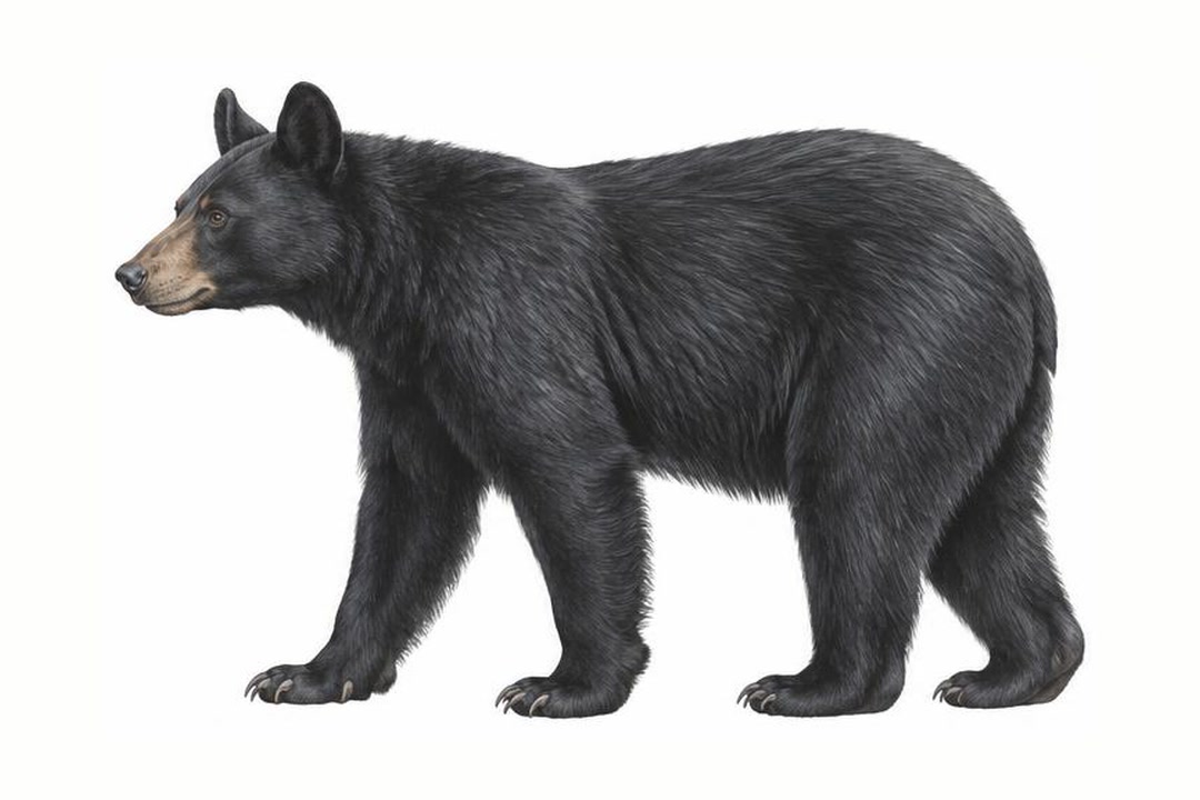
Both species vary in coat color. Never approach a bear to identify it. Stay alert, make noise in dense cover, give bears space, secure food and garbage, and never run. Carry accessible bear spray and know how to use it.
ADF&G bear safety guidanceExplore
A four-wheel-drive vehicle does not create a right to drive off-road.
Local gravel roads; no connection to Alaska's highway network.
Conditions: Verify seasonal openings, washouts and land permissions.
Vehicle: Check rental exclusions; do not enter uncertain water crossings.
Content coming soon
Explore
Water trips require cold-water equipment and a realistic evacuation plan.
Explore
Camping is simple and free on the road system, with rustic fly-in cabins beyond.
Campground
Three free first-come tent platforms on the beach bluff northwest of the WWII cannons at Cannon Beach.
Campground
Six first-come tent platforms by the Situk River at Nine Mile Bridge, busiest during the spring steelhead run.
Public-use cabin
Russell Fiord Wilderness cabin on the east shore of Situk Lake, reached by a 3.1-mile trail or floatplane.
Public-use cabin
One of two Middle Situk cabins beside an airstrip, about 3 river miles below Nine Mile Bridge.
Public-use cabin
The second Middle Situk cabin on the Situk River, next to Eagle Cabin and the Situk airstrip.
Public-use cabin
National Park Service cabin 20 miles across Yakutat Bay on the Malaspina Forelands; wheeled-plane beach landing.
Public-use cabin
National Park Service cabin on the East Alsek River in Glacier Bay National Preserve near Dry Bay.

Public-use cabin
A-frame on the coast about 30 miles southeast of Yakutat, popular for coho fishing; fly in by air taxi.
Public-use cabin
12 x 16 ft hunter-style cabin on a bluff above the braided Dangerous River, with a meat shed.
Public-use cabin
Fly-in cabin beside an airstrip below the Brabazon Range, 2 miles from iceberg-filled Tanis Lake.
Public-use cabin
The district's southernmost cabin, by an airstrip north of the Alsek River; mainly a fall moose-hunting base.
Shelter / lean-to
Free two-room A-frame on the airstrip at the end of Dangerous River Road, about a mile from Harlequin Lake.
Explore
Local operators and cultural institutions offer different ways to explore.
Operator
Yakutat air taxi flying two DeHavilland Beavers to rivers, beaches, lodges and backcountry strips.
Operator
Ocean fishing charters, Hubbard Glacier tours, lodging and skiff and drift-boat rentals.
Operator
Saltwater charters for halibut, lingcod, rockfish and salmon, plus Hubbard Glacier tours on the Sea Hunter.
Lodge
A full-service fishing lodge in remote Yakutat that pairs guided Situk River trips for steelhead and salmon with ocean charters for halibut and lingcod in Yakutat Bay. Rooms range from an airport hotel to waterfront cabins and a private Big House.
Explore
There is no road to Yakutat, so you arrive by jet or by ferry.

Airport
State airport about 3 miles southeast of town with daily Alaska Airlines jets to Juneau and Anchorage.
Airstrip
NPS-maintained 3,600 ft gravel strip in Glacier Bay National Preserve, about 44 miles southeast of Yakutat.
Airstrip
Short 1,500 ft turf strip by the East Alsek River, soft in spring and after heavy rain.
Floatplane base
Public seaplane base about a mile northwest of town; no fuel.
Ferry terminal
Seasonal Alaska Marine Highway stop on the Gulf of Alaska route, 226 nautical miles from Juneau.
Harbor
City harbor with rental slips, water, electricity, a boat ramp and a fuel dock.
Gallery


Southeast / Inside Passage
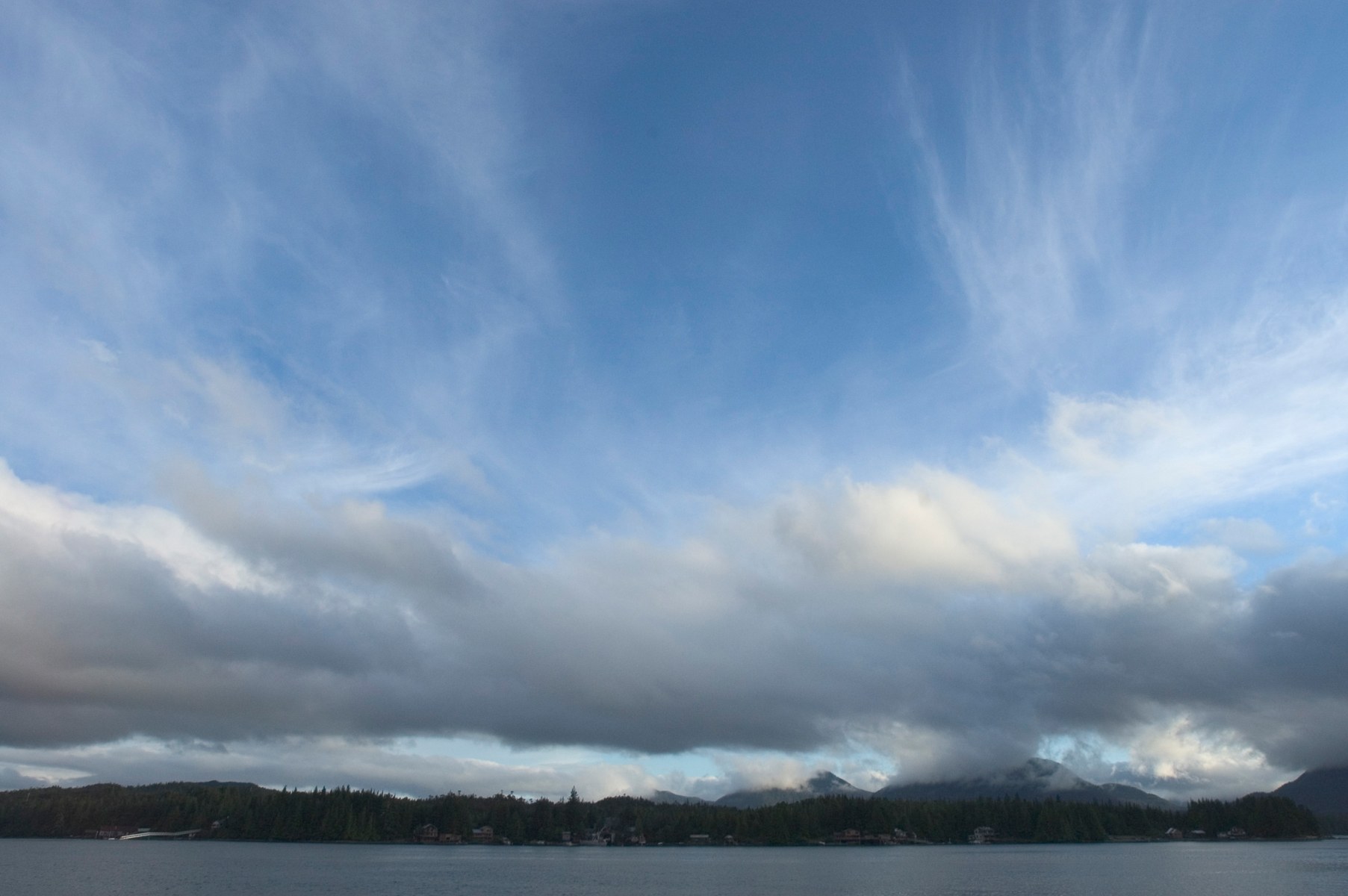
Ketchikan is a fishing port and cultural hub on Revillagigedo Island. Misty Fjords' granite walls, lakes and rainforest lie east of town.

A large, roadable Tongass island with Haida and Tlingit villages, totem parks, El Capitan Cave, steelhead rivers and more than 20 public-use cabins.
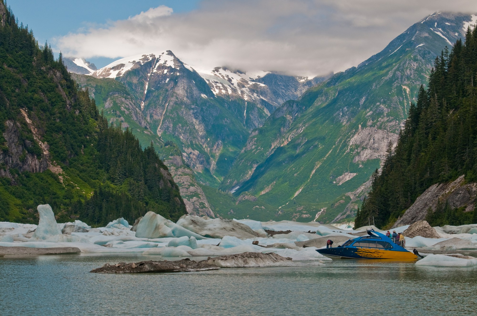
Fishing towns beside the Stikine River delta, with LeConte Glacier, Anan bear viewing, Tongass cabins and road camps on Mitkof and Wrangell islands.
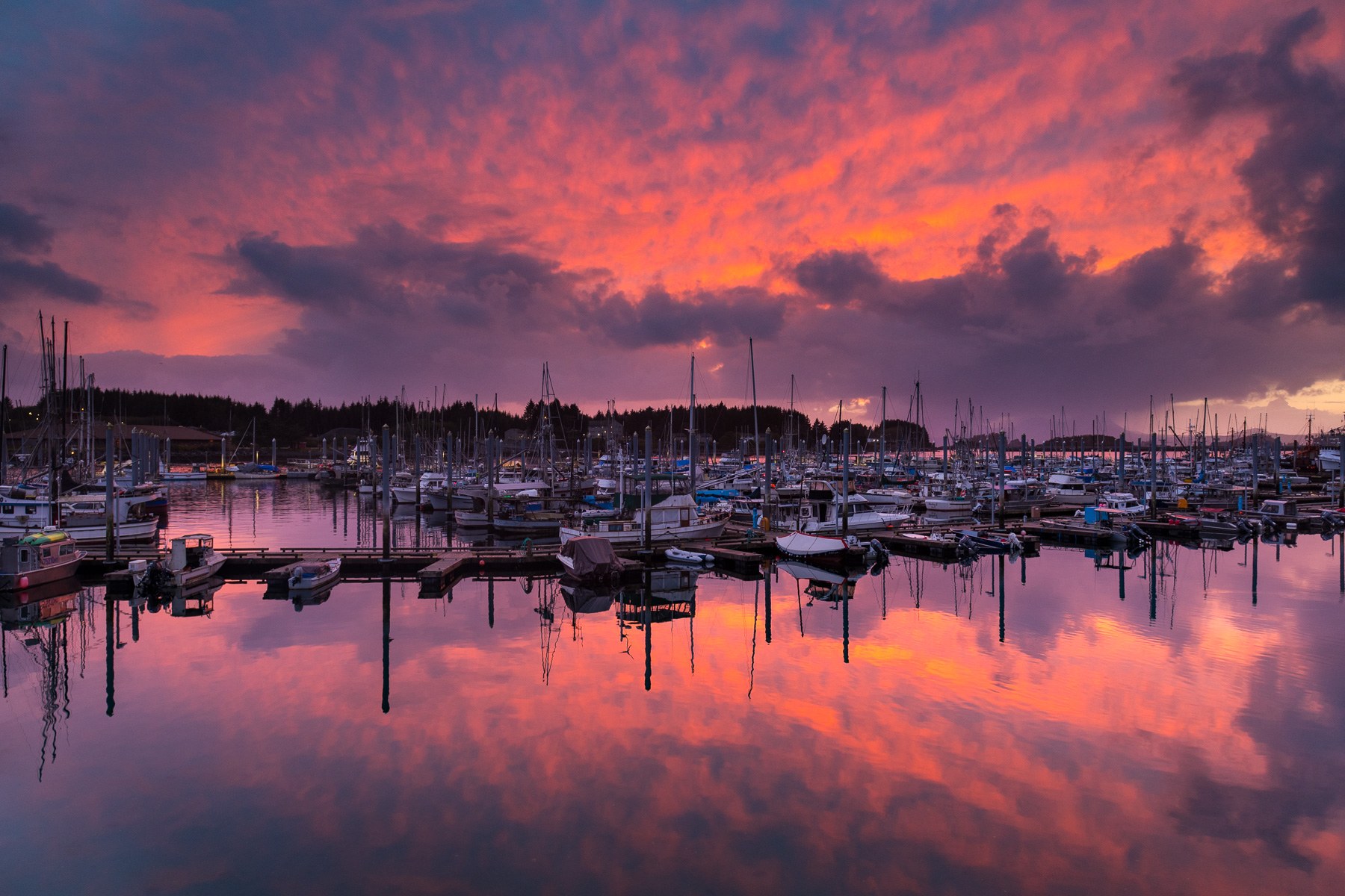
Pacific-facing Sitka pairs living Tlingit culture and Russian-era landmarks with rainforest trails, island cabins and boat trips on Sitka Sound.
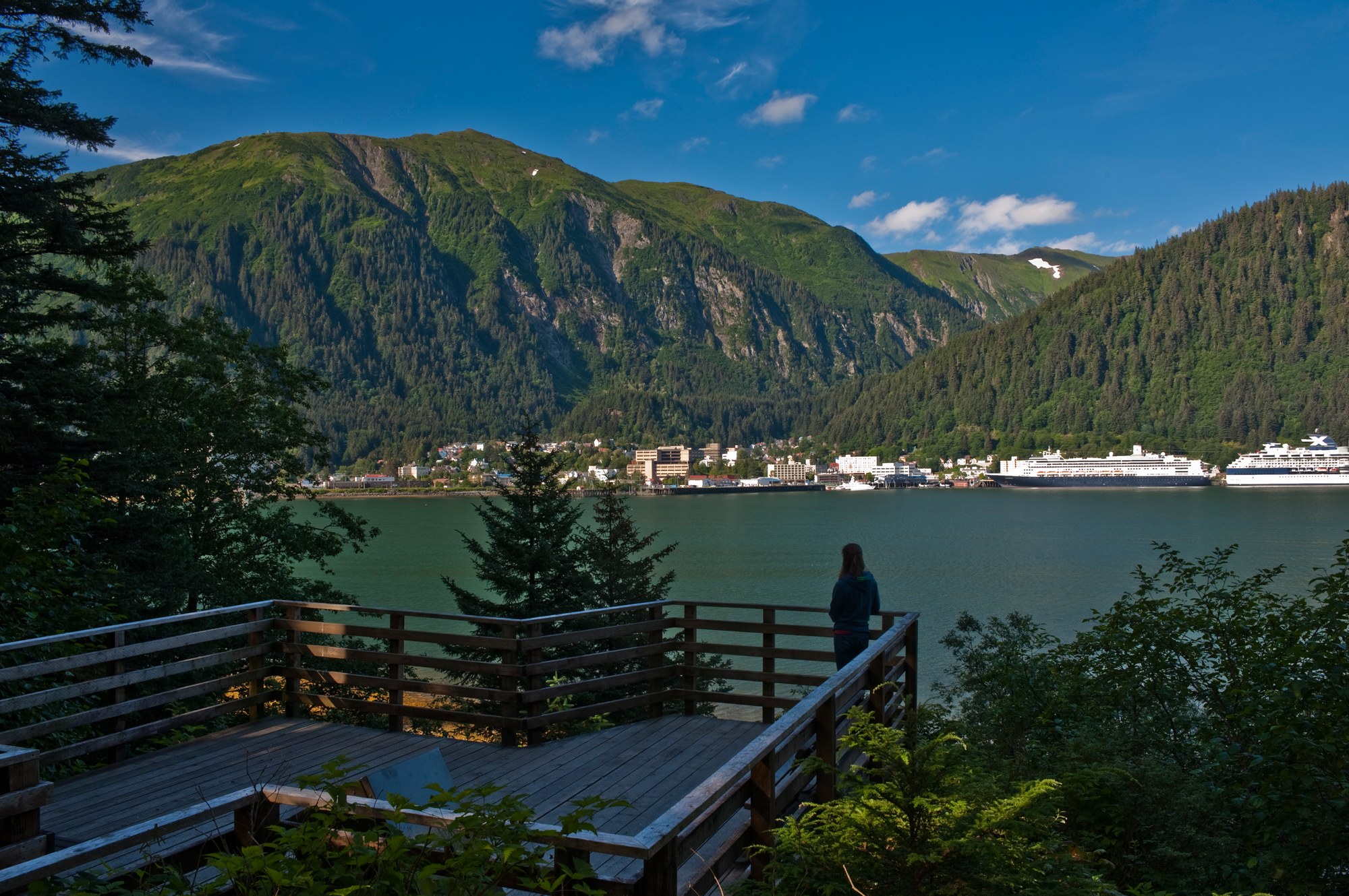
Alaska's capital, the road-accessible Mendenhall Glacier, Admiralty Island's brown bears and the tidewater glaciers of Glacier Bay National Park, with Gustavus and Hoonah as gateways.
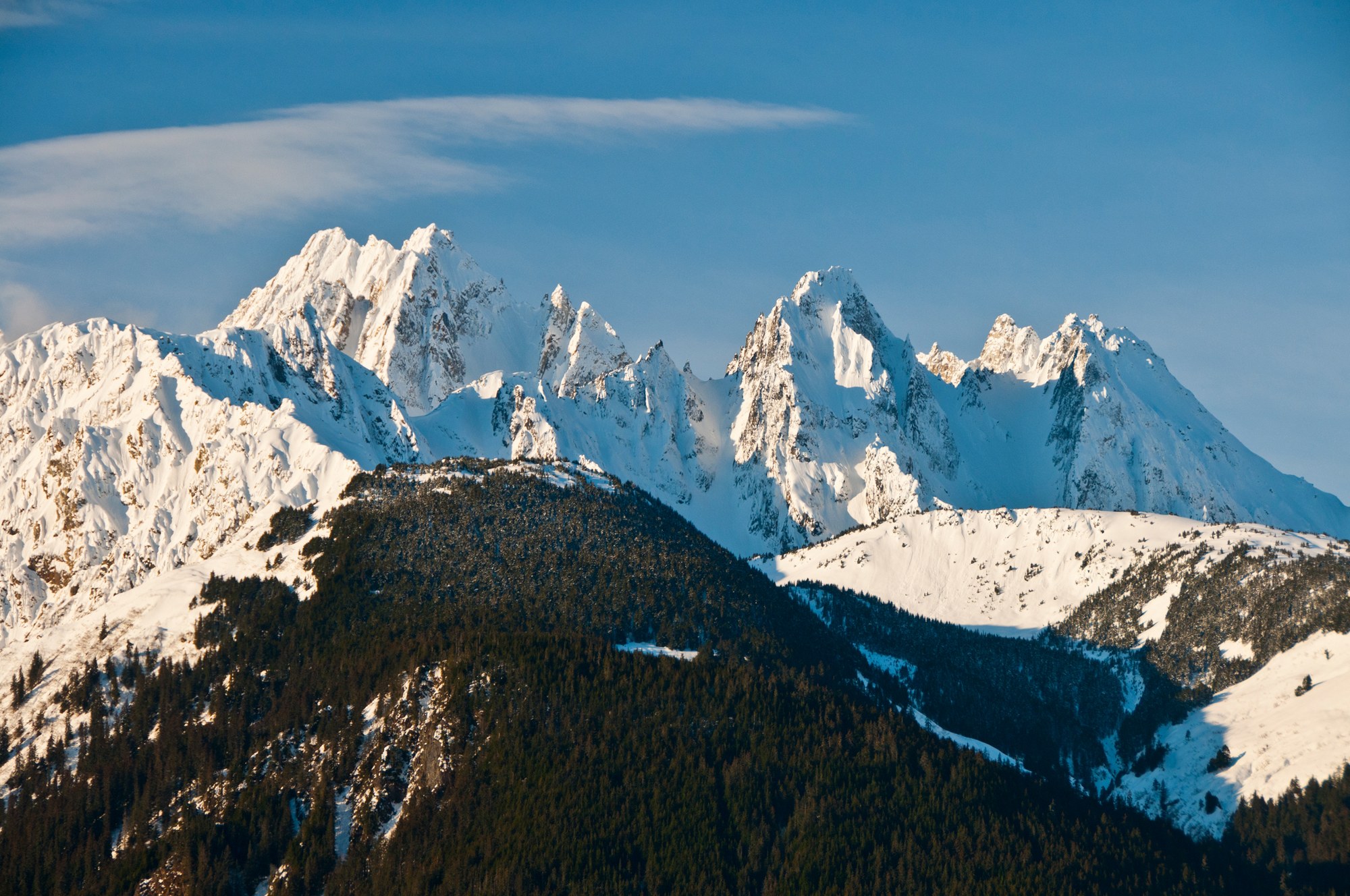
Haines sits on the Chilkat Peninsula between the Chilkat and Chilkoot rivers, below the Chilkat Range, with the Haines Highway running north past the Alaska Chilkat Bald Eagle Preserve into Canada.
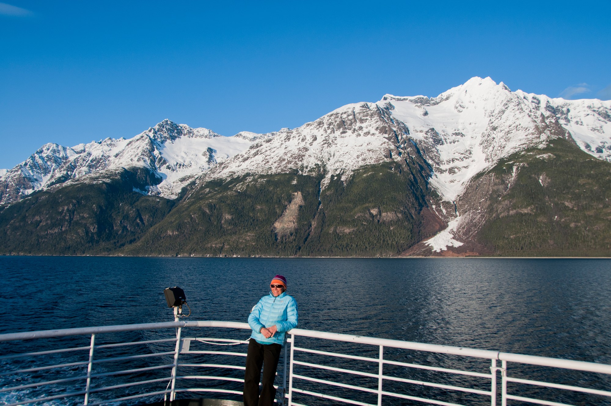
Skagway sits at the head of Taiya Inlet, the gold rush gateway to the Chilkoot Trail and White Pass, with a preserved boardwalk historic district, the White Pass & Yukon Route railway and the Dyea townsite nearby.