Operator
Taquan Air
- Website
- Https://taquanair.com/tours/misty-fjords-flightseeing/
- Kind
- Flightseeing
- Ownership
- Private
Misty Fiords floatplane flightseeing from Harbor Point, 4085 Tongass Ave.
Floatplane base
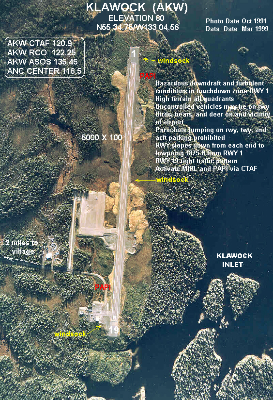
State floatplane dock at Craig with scheduled Taquan Air service to Ketchikan.
Taquan Air runs scheduled floatplane service year-round between Ketchikan and Craig. Charters from here reach remote lakes, lodges and Forest Service cabins.
Last updated 2026-11-05
Fishing spot
Saltwater salmon and halibut out of Craig, Klawock and Waterfall.
0.2 mi
Fishing spot
Hatchery-boosted river with the island's largest coho return, right at Klawock.
5.8 mi

Fishing spot
Roadside coho river beside Harris River Campground.
11.5 mi
Fishing spot
Road-accessible west-side creek for coho and steelhead, with free campsites and a cabin.
22.7 mi
Fishing spot
Wilderness steelhead and trout river reached by boat or floatplane to Karta Bay.
23.1 mi
Lodge
A lodge owned by the Anderson family since 1990, overlooking the Klawock estuary on the west coast of Prince of Wales Island. Guests fish for king and coho salmon, halibut, lingcod and steelhead.
5.5 mi
Lodge
A historic salmon cannery turned full-service fishing resort on 52 acres of Prince of Wales Island, reached only by air or sea. Guests fish for king and silver salmon, halibut, lingcod and more than 20 other species.
13.1 mi
Lodge
A high-end private fishing club on remote Noyes Island off Prince of Wales Island, about 40 minutes by floatplane from Ketchikan. It is known for king and coho salmon, halibut, lingcod and rockfish, and whales are often seen in the bay.
19.6 mi
Public-use cabin
Remote saltwater cabin on San Fernando Island west of Craig.
8.5 mi

Public-use cabin
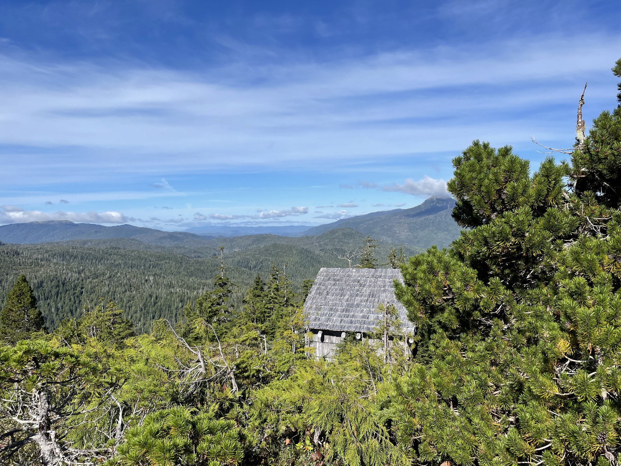
Fly-in lake cabin below Patricia Peak, reachable only by floatplane.
12.2 mi
Public-use cabin
Fully accessible road cabin off the Hydaburg road.
18.3 mi
Public-use cabin
Road-access lake cabin a short row from the Control Lake junction.
18.6 mi
Public-use cabin
Lake cabin in the Karta River country, 1.5 miles by trail from Karta Bay or by floatplane.
21.7 mi
Public-use cabin
Cedar cabin at Karta Bay, at the start of the Karta River Trail.
23.1 mi
Public-use cabin
Easy-access cabin a half mile by boardwalk from Forest Road 2054, near Staney Creek's salmon and steelhead.
23.6 mi
Trail
Quarter-mile boat-access trail in Trocadero Bay to a 130-foot waterfall.
8.7 mi
Trail
Lakeshore loop from the Balls Lake picnic shelter, linked to Eagles Nest Campground.
19.8 mi
Trail
Wilderness river trail from Karta Bay to Salmon Lake.
23.1 mi
Campground
Quiet 14-site USFS campground beside the Harris River on the Hollis–Klawock highway.
11.5 mi

Campground
Forest campground above Balls Lake in the center of the island, with a canoe launch and lakeside walk-in sites.
19.6 mi
Campground
Free two-site camp at the Staney Creek bridge on Forest Road 2050.
22.7 mi
Campground
Free two-site forest camp near Staney Creek on the island's west side.
23.2 mi