
Airport
Haines Airport (HNS)
State airport on the Haines Highway about 3 miles from town, with a 4,000 ft paved runway and commuter flights to Juneau.
3.3 mi
Trail
Steep, minimally maintained trail from Haines Highway mile 7 to the 7-Mile Saddle, Peak 3920 and Mount Ripinski.
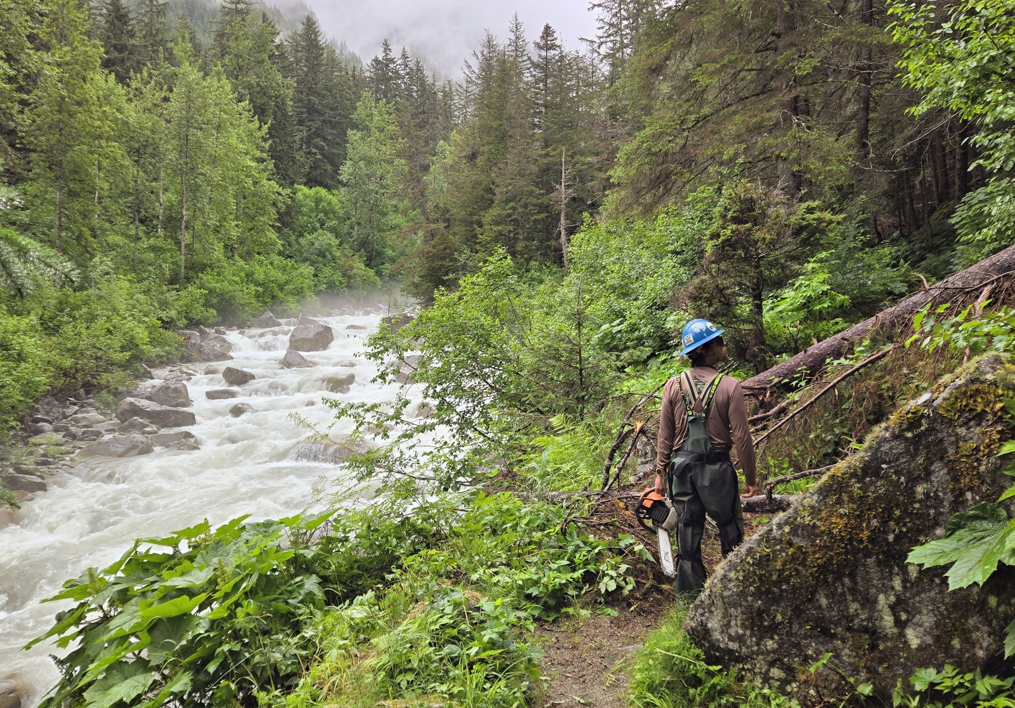
Starts at the 7-Mile trailhead on the Haines Highway (signed as the Ripinski Trailhead), crosses muskeg on a boardwalk and switchbacks through lodgepole pine to brush and mountain hemlock near 2,000 feet. The 7-Mile Saddle, 1.9 miles in, is a good camping spot. From there the route climbs steeply to Shakuseyi (Peak 3920, about 3 miles one way) and follows the ridge east to Mount Ripinski (about 5.6 miles one way, 3,900 feet of gain), or turns left onto the Tukgahgo Route to the Tukga Hut. The trail is unmarked in places, so carry a map and compass; the full traverse to Main Street is about 10 miles and takes 8 to 10 hours. Brown bears are common here; make noise, carry bear spray and keep food secured.
Hiking · Backpacking · Wildlife viewing
Last updated 2026-11-12
Airport
State airport on the Haines Highway about 3 miles from town, with a 4,000 ft paved runway and commuter flights to Juneau.
3.3 mi
Airport
State airport at the edge of town with a 3,550-foot paved runway; Alaska Seaplanes is the only scheduled airline.
16.9 mi
Campground
Private full-hookup RV park on Main Street, walking distance to downtown; open May 1 to September 15.
5.6 mi

Campground
NPS campground 9 miles from Skagway and half a mile from the Chilkoot trailhead: 22 first-come sites at $10 a night.
18.9 mi

Campground
First Chilkoot Trail campground, 4.8 miles from the trailhead, with six tent sites and Irene Glacier views.
23.4 mi

Cultural site
Alaska's only pre-war Army post, built 1902 to 1904 at Portage Cove; its homes and parade ground are an easy walk from downtown.
6.3 mi

Cultural site
Almost 100 gold rush buildings along Broadway and the boardwalks, the heart of Klondike Gold Rush NHP.
16.5 mi

Museum
The park visitor center in the 1898 White Pass & Yukon Route depot at 2nd and Broadway: exhibits, ranger talks and a film.
16.4 mi

Museum
Soapy Smith's gold rush saloon, a roadside museum since 1935, reopened by NPS in 2016; free timed tickets.
16.5 mi

Museum
A Broadway saloon built in 1898, closed by prohibition in 1916 and restored by NPS to its 1904 look.
16.5 mi

Museum
The home of Skagway's founding Moore family at 5th and Spring, with Captain William Moore's 1887 cabin.
16.6 mi