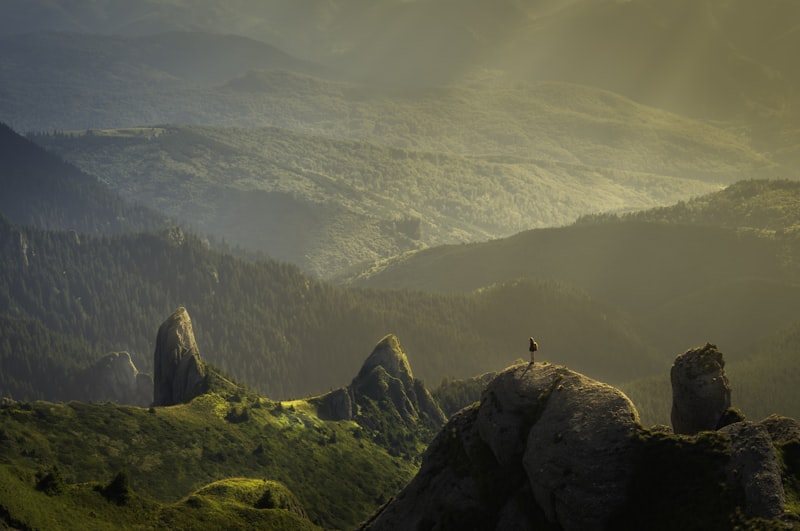
Copper River scenery; personal-use dipnet fisheries are resident-only
Chitina marks the junction of the Copper and Chitina rivers and the start of the McCarthy Road.

Alaska local guide · Draft
Chitina marks the junction of the Copper and Chitina rivers and the start of the McCarthy Road.
Overview
Chitina marks the junction of the Copper and Chitina rivers and the start of the McCarthy Road.
Explore
Chitina marks the junction of the Copper and Chitina rivers and the start of the McCarthy Road.
Chitina marks the junction of the Copper and Chitina rivers and the start of the McCarthy Road.
Content coming soon
Explore
The local skyline shapes weather and access.
Conditions range from valley walks to technical alpine terrain. Match the route to your experience and obtain local advice.
Content coming soon
Explore
Protected lands have different access, camping and activity rules.
Check the land manager's current visitor information before arranging travel.
Type: preserve
Land manager: National Park Service
Permits: Confirm reservations, commercial operator permissions and backcountry requirements with the land manager.
Content coming soon
Explore
Routes depend on weather, land access and seasonal conditions.
Carry navigation, rain layers and bear-safety equipment; confirm current trail or route conditions.
Difficulty: Moderate
Length: About 2 mi round trip
Access: Edgerton Highway from the Richardson Highway.
Content coming soon
Explore
Species availability depends on the exact water, season and current closures.
Use current ADF&G sport-fishing regulations and emergency orders; listed species are not a guarantee of an open fishery.
Salmon where open
Current ADF&G sport-fishing regulations and emergency orders
Content coming soon
Explore
Hunting is location- and permit-specific; park and preserve rules differ.
Do not assume that public land allows sport hunting. Verify the precise unit, land designation and any permit before planning.
Game management unit: 11 / 13D
Nonresidents: Nonresidents hunting brown/grizzly bear, Dall sheep or mountain goat need a licensed Alaska guide or an eligible Alaska-resident relative; nonresident aliens require a guide for all big game. Check current permits, seasons and emergency orders.
Seasons, permits and land restrictions change. Check current Alaska Department of Fish and Game regulations before planning a hunt.
Content coming soon
Explore
A four-wheel-drive vehicle does not create a right to drive off-road.
McCarthy Road begins here; check seasonal conditions.
Conditions: Verify seasonal openings, washouts and land permissions.
Vehicle: Check rental exclusions; do not enter uncertain water crossings.
Content coming soon
Explore
Water trips require cold-water equipment and a realistic evacuation plan.
Copper River expeditions; strong current, silt and difficult rescue
Difficulty: Reach- and weather-dependent; obtain local advice
Season: Generally summer; verify water levels, ice and operator schedules
Content coming soon
Explore
View wildlife without approaching, feeding or blocking travel routes.
Use binoculars and keep appropriate distance; bears may be encountered away from viewing sites.
Content coming soon
Explore
Confirm legal sites, reservations and food-storage requirements.
Facilities and seasons vary; pack out waste and store food securely away from wildlife.
Content coming soon
Explore
Local operators and cultural institutions offer different ways to explore.
Confirm availability directly, and respect community guidance and access permissions.
Content coming soon
Explore
Allow extra time for weather and seasonal transport changes.
Edgerton Highway from the Richardson Highway.
Content coming soon
Gallery

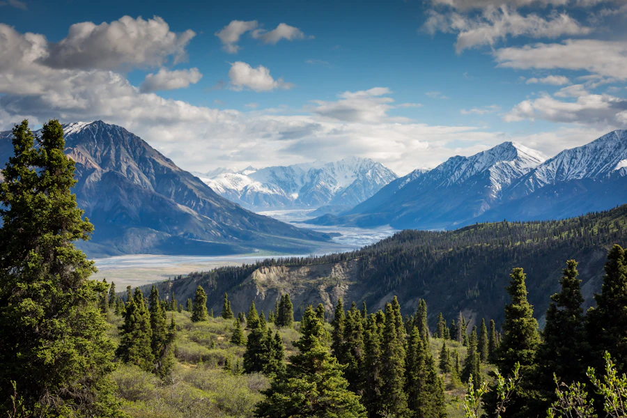

Wrangell-St. Elias & Copper Basin
Historic Kennecott copper mills stand above a glacier beside McCarthy, a gateway to the vast Wrangell-St. Elias backcountry.

Glennallen is the Copper Basin's service hub at the meeting of the Glenn and Richardson highways.
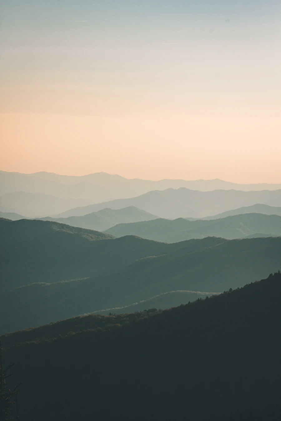
Nabesna Road reaches the northern edge of Wrangell-St. Elias, with open valleys, alpine routes and remnants of mining history.